경로

플래너

기능

업데이트

App

로그인 또는 가입

앱 다운로드

로그인 또는 가입

경로
Places to see
이탈리아
베네토
베로나

트레냐고

20의 트레냐고가지 명소 & 주요 장소


트레냐고에는 둘러볼 만한 장소가 많답니다. 하이킹 또는 사이클링을 좋아한다면 트레냐고에 숨겨진 20
가지 보석을 만날 수 있을 거예요. 이 지역의 주요 명소를 살펴보면서 다음 모험을 계획해보세요.

마지막 업데이트: 8월 16, 2026

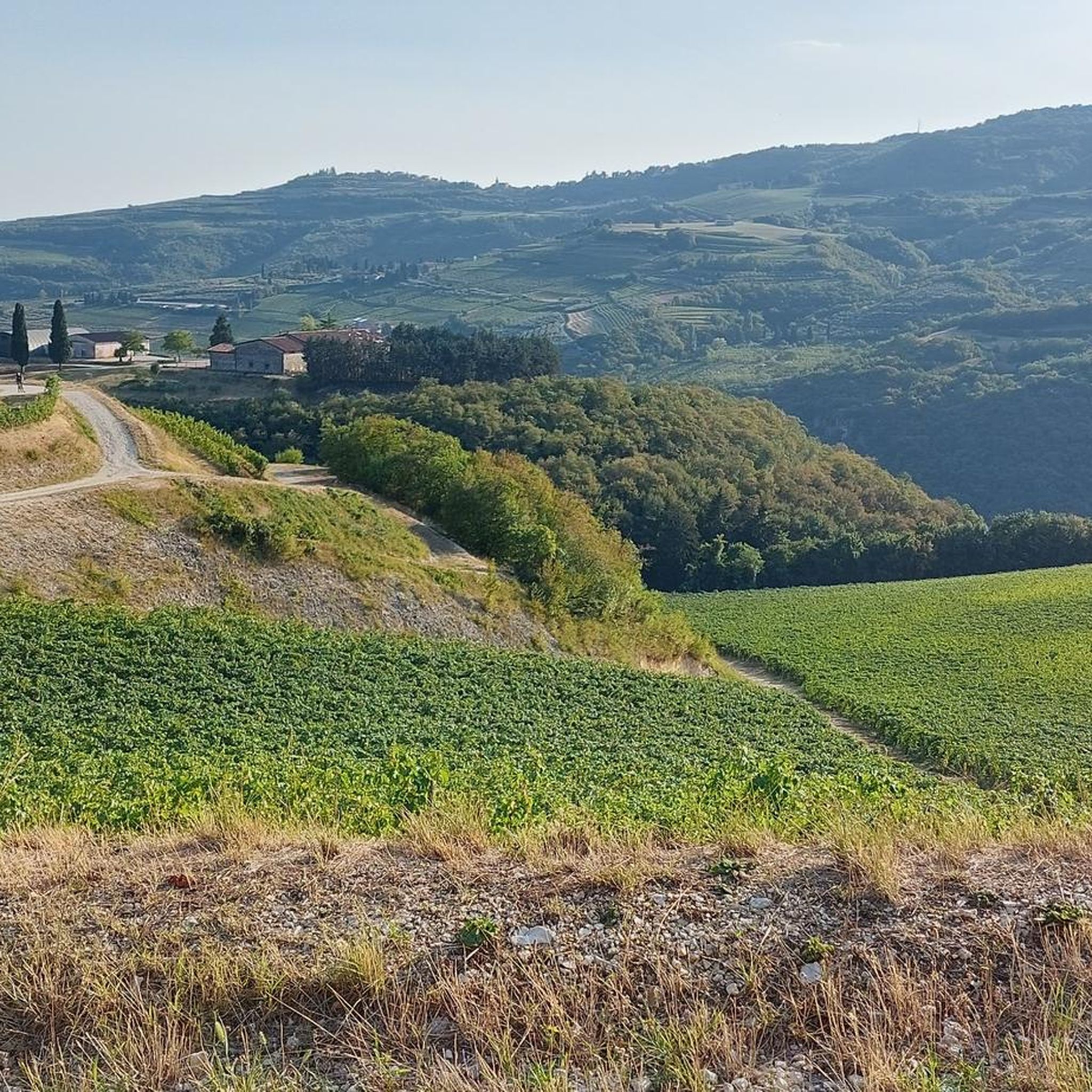
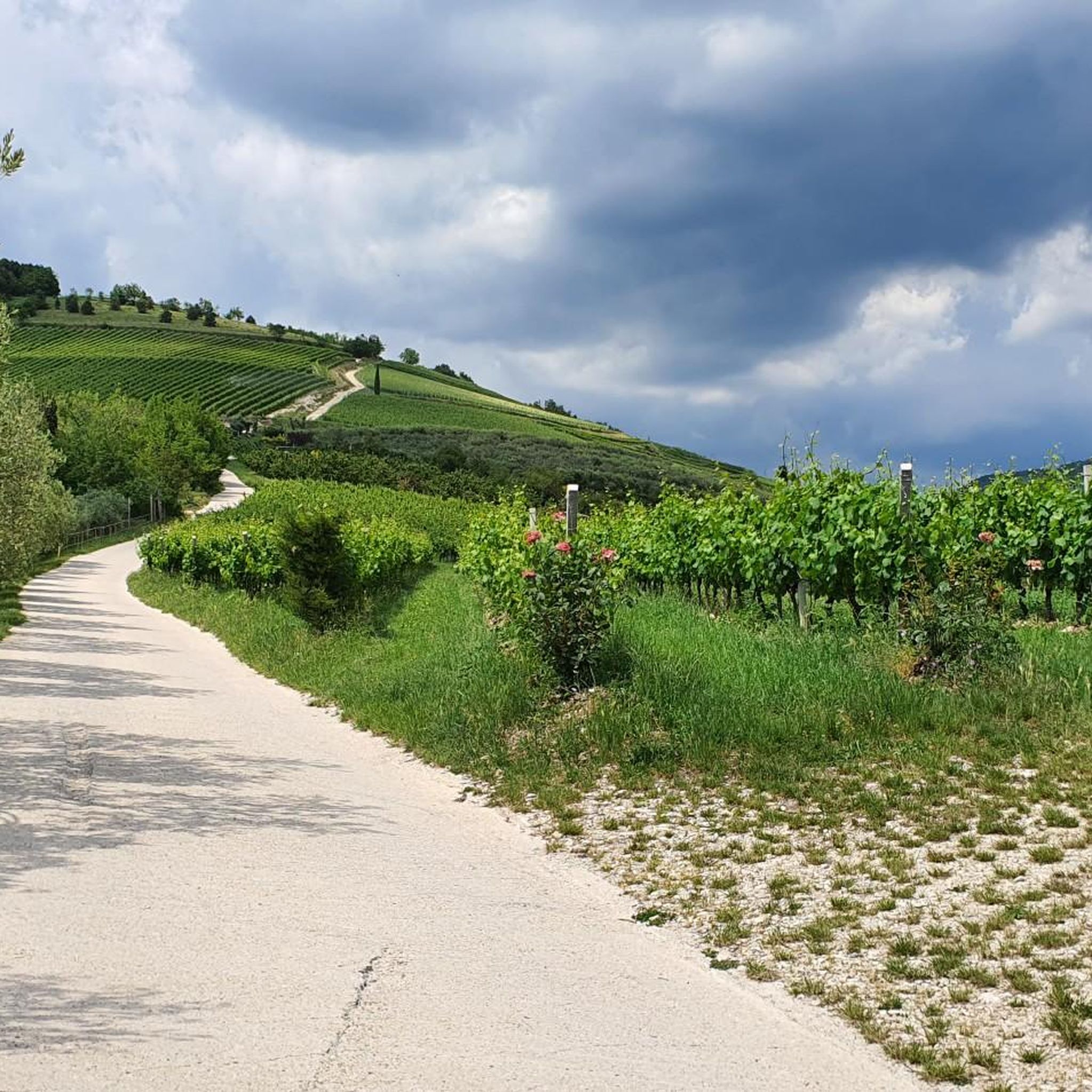
일 피콜로 스텔비오 – 산타 마리아 인 스텔레의 자연 트레일

하이라이트 (구간) • 트레일

To go both uphill and downhill, gravelly ground with some stretches of stones, suitable for MTB and Gravel with a bit of technique. The climb can be pedaled in its entirety with slopes that do not exceed 15% at times

번역자 Google •

에 의해

라이딩 보기

휴대폰으로 전송

저장

몬토리오의 필로톤

하이라이트 • 기념물

It is an example of a bètylo (type of megalith of sacred origin) erected in a very remote time on the ridge known as "Preafita". The betyls were always placed in sacred places, and in this case in coincidence with a volcanic chimney which for the ancients meant "place touched by God", and had the purpose, with their phallic shape, of propitiating fertility.
They then gave man the possibility of following the movements of the stars, of creating a calendar and also a solar, lunar and stellar clock.
Recent studies, first conducted by prof. Umberto Grancelli and then Giovanni and Alberto Solinas, revealed how its origin is connected with the three villages in the area existing in the Middle Bronze Age (around 1500 BC): Forte John, Monte Pipaldolo and Monte Tesoro.
The professor. Grancelli claimed that our Piloton was one of the points of reference in the foundation plan of Roman Verona (148 BC).
In support of this thesis he demonstrated how "this monolith [which] rises on the ridge above Montorio and, aligned with the Cardo of Verona (via Pellicciai), marks the point of the solstitial dawn of Verona".
In 1950 it was measured by Giovanni Solinas: height m. 3.20 on the ground, circumference at the base m. 2.05 and at the top m. 1.80. Today it is reduced in height, probably due to lightning.
Finally, it is curious to note that five paths start from the Piloton: the first towards the North leads to the complex of S. Fidenzio, the second towards the North-East reaches Mizzole, the third towards the South-East leads to Montorio (ancient Pieve), the fourth to the south it coincides with the ridge path and the fifth to the west arrives in Novaglie.

번역자 Google •

에 의해

저장

이런 장소를 발견하려면 지금 가입하세요

최고의 싱글 트랙, 봉우리 및 다양한 흥미로운 야외 장소에 대한 추천을 받아보세요.

무료 회원 가입

산 마르코 작은 교회

하이라이트 (구간) • 종교적 장소

Evocative church, open to visitors, with music outside. Very pretty

번역자 Google •

에 의해

저장

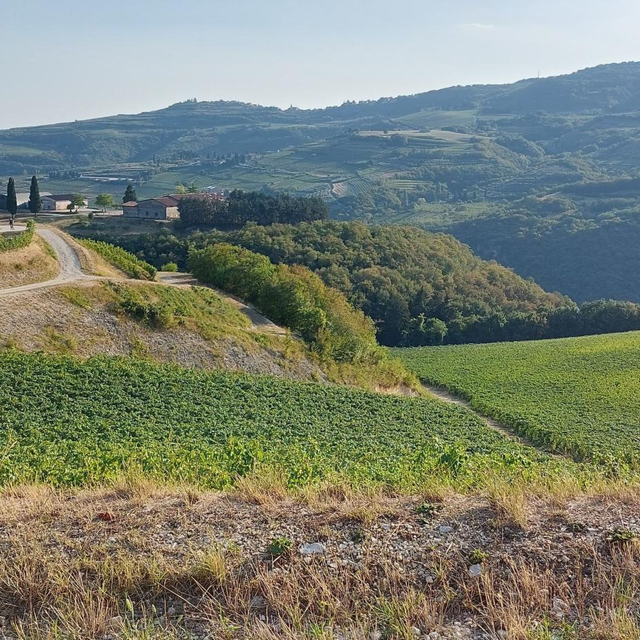
Piccolo Stelvio

하이라이트 • 트레일

Beautiful dirt and winding stretch that can be traveled in gravel without too many problems!

번역자 Google •

에 의해

저장

포르테 존 또는 프레아라

하이라이트 • 역사적 장소

Fort John is a small polygonal fortification built in 1859 by the Austrians on the remains of a Bronze Age village halfway between the Montorio Castle and the Pilotòn, a Roman monolith located in the Marseghina ridge.
Designed by the major, Franz von Neuhauser on direct commission from the Habsburg Empire, it was named after Baron Franz Von John, knight of the Order of Maria Theresa, for his actions in the battles of Goito and Volta Mantovana in 1848.
The fort formed a system with the battery of the nearby Castle and established the final stronghold of the large entrenched camp.
The artillery sector, in the open air, beat the hilly ridge towards the north, also crossing fire with the Maximilian Towers deployed on the opposing ridge of Monte Gaina.
Two pieces, from the southern front, closed the gap towards the Castle.
Finally, from the gorge front, two other artillery pieces pounded the mouth of the Valpantena. It remained in use by the Italian Army until the early 1980s, after which the structure was abandoned.
[source: comunitadelgarda.it/Forte-John-Preara/1103-324-1.html]

번역자 Google •

에 의해

저장

무료로 가입하여 트레냐고 주변의 더 많은 명소를 발견하세요.

무료 회원 가입

이미 komoot 계정이 있나요?

오늘 무료 계정으로 시작하세요

다음 모험이 기다리고 있어요.
로그인 또는 가입하기

트레냐고 주변 인기 장소

트레냐고 MTB 트레일

트레냐고 로드 사이클링 경로

트레냐고 사이클링

트레냐고 하이킹

트레냐고 주변 그래블 라이딩

트레냐고 러닝 트레일

커뮤니티 팁

Luca N.
5월 4, 2026, Piccolo Stelvio

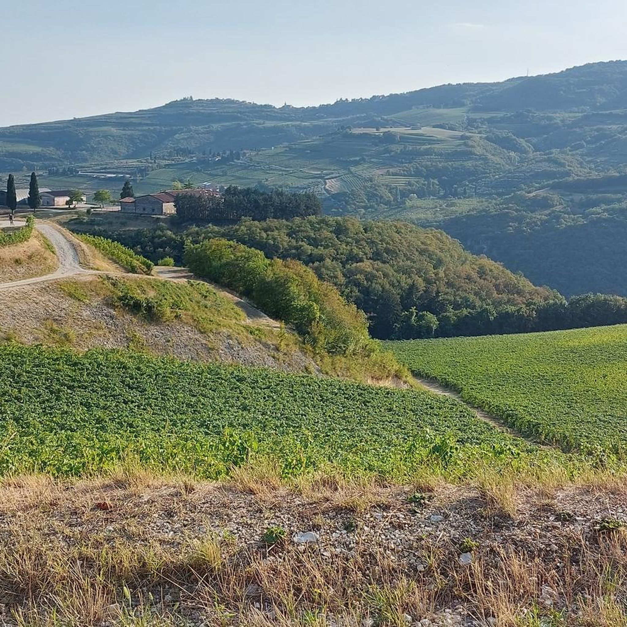
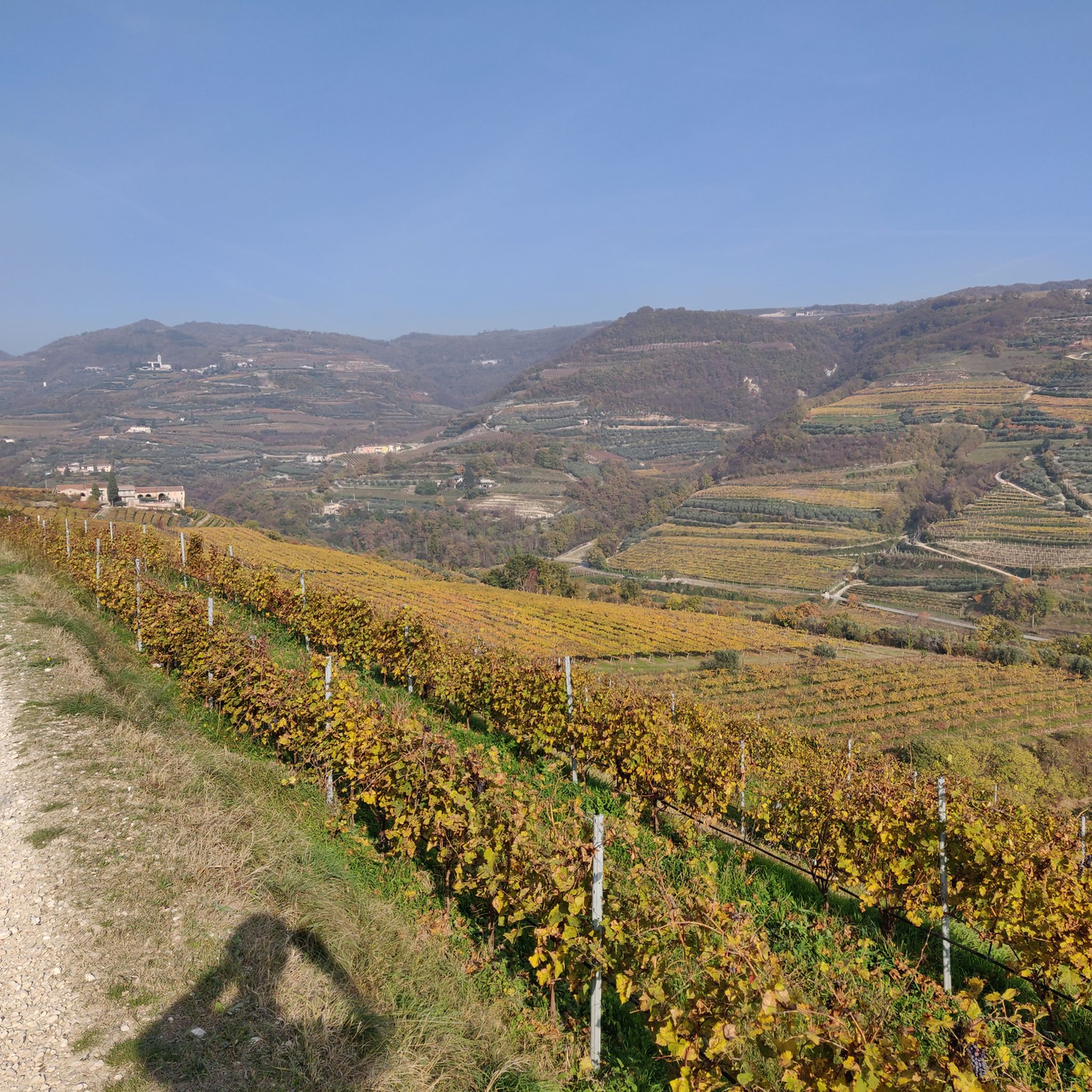
산타 마리아 인 스테레 마을 위의 베로나 언덕에 위치한 피콜로 스텔비오 트레일은 유명한 알파인 고개를 축소판으로 연상시키는 특징적인 헤어핀 커브에서 그 이름을 따왔습니다. 사이클리스트와 러너들에게 특히 사랑받는 이 경로는 발판테나 계곡을 거슬러 올라가는 능선을 따라 뻗어 있으며, 꾸준하지만 보람 있는 오르막을 제공합니다. 발폴리첼라 포도밭과 은빛 올리브 나무 숲 사이에 자리한 이 트랙은 아래쪽 평원에서 베로나 도시의 윤곽까지 펼쳐지는 파노라마 전망을 선사합니다. 스포츠적 가치 외에도, 이 트레일은 지역 역사와 깊이 연결되어 있으며, 산타 마리아 인 스테레의 고대 지하 묘지와의 근접성이 하이킹에 신비로운 매력을 더합니다. 이곳은 이 지역의 시골의 아름다움과 신체적 도전을 완벽하게 응축한 코스입니다.

번역: Google

0

0

산타 마리아 인 스텔레 마을 위의 베로나 언덕에 위치한 피콜로 스텔비오(Piccolo Stelvio) 길은 유명한 알프스 고개의 축소판을 연상시키는 특징적인 헤어핀 커브 덕분에 그 이름을 얻었습니다. 특히 사이클리스트와 러너들이 좋아하는 이 경로는 발판테나(Valpantena) 계곡을 따라 올라가는 능선을 따라 이어지며, 꾸준하지만 보람 있는 오르막길을 제공합니다. 발폴리첼라(Valpolicella) 포도밭과 은빛 올리브 과수원 사이에 자리 잡은 이 트레일은 아래쪽 평원에서 베로나 시의 윤곽까지 펼쳐지는 파노라마 전망을 선사합니다. 스포츠적 가치 외에도 이 길은 지역 역사와 깊이 연관되어 있으며, 산타 마리아 인 스텔레의 고대 지하 묘지(Ipogeo)와의 근접성은 하이킹에 신비로운 매력을 더합니다. 이곳은 스칼리제로(Scaligero) 지역의 시골의 아름다움과 신체적 도전을 완벽하게 응축한 여정입니다.

번역: Google

0

0

A must-see stop at the little church even if you are not a believer, with Gregorian chant music in the background.

번역: Google

0

0

Albe
4월 19, 2025, Piccolo Stelvio

dirt road with good climb and numerous hairpin bends. beautiful views of the Valpantena.

번역: Google

1

0

Monolith and crossroads of various paths

번역: Google

0

0

Beautiful route with hairpin bends that follow one another up to the top of the hill in the Maroni district, the surface is dirt but well maintained with non-challenging slopes

번역: Google

1

0

The Preara fort was built during the second half of the nineteenth century and was part of the defensive system of Verona. It was nicknamed "Fort Werk John", in honor of the Austrian general Franz von John.

번역: Google

2

0

Beautiful dirt and winding stretch that can be traveled in gravel without too many problems!

번역: Google

3

0

트레냐고 주변에서 가장 인기 있는 경로

트레냐고 MTB 트레일

트레냐고 주변에서 가장 인기 있는 명소

Natural Monuments

Store rating

komoot 모바일 앱으로 영감을 받아보세요

무료 komoot 계정로 끝없는 야외 모험을 손쉽게 찾고, 맞춤 설정하며 길안내할 수 있어요.

또는

지금 komoot에 가입하세요

Store rating

더 살펴보기

찾고 있는 하이라이트를 아직 못 찾으셨나요? 다른 지역의 주요 명소 가이드를 확인해보세요:

말세신가르다 호수보스코 키에사누오바브렌조네 술 가르다토리 델 베나코페라라 디 몬테 발도에르베조산 제노 디 몬타냐가르다산타나 달파에도로베레 베로네세바르돌리노셀바 디 프로그노네그라카프리노 베로네세라지세코스테르마노브렌티노 벨루노마라노 디 발폴리첼라세로 베로네세소나페스키에라 델 가르다메잔 디 소토산 마르티노 부온 알베르고빌라프랑카 디 베로나리볼리 베로네세후마네Parco Naturale Regionale della Lessinia카리아노의 산 피에트로카스텔누오보 델 가르다그레자나라바뇨일라시부솔렌고벨로 베로네세솜마캄파냐발레지오 술 민치오제비오페스칸티나산 마우로 디 식염수모짜케인아피산 조반니 루파토토파스트렌고콜로놀라 아이 콜리칼디에로산탐브로조 디 발폴리첼라돌체카스텔 다자노부타피에트라카바이온 ​​베로네세바디아 칼라베나벨피오레베스테나노바오페아노로베레도 디 구아산 조반니 일라리오네카자노 디 트라미냐프레사나론코 알아디제포베글리아노 베로네세비가시오미네르베베빌라쿠아레나고팔루보볼로네알바레도 다디제론카소브몬테포르테 달포네산 보니파시오쾰른 베네타이솔라 델라 스칼라몬테키아 디 크로사라베로넬라아르콜보쉬 산타나보나비고테라조빌라 바르톨로메아노가롤 로카카스타그나로세레아카살레오네로베르키아라가조 베로네세앙기아리이솔라 리자소르가산 피에트로 디 모루비오산귀네토트레벤주올로노가라Concamarise살리졸에르베

근처 어드벤처 가이드

바디아 칼라베나 즐길거리

background

새로운 정복을 위한 준비를 하세요

무료로 가입하기

탐험하기
경로경로 플래너기능바우처 사용하이킹MTB 트레일로드 사이클링 경로바이크패킹사이트맵
앱 다운로드
소셜 미디어에서 팔로우하기

© komoot GmbH

개인 정보 보호 정책