라벤나 최고의 워킹 & 하이킹 경로
4.4
(4897)
35,389
등산객
912
하이킹
라벤나에서 하이킹하며 에밀리아 로마냐 구석 부분까지 살펴볼까요? 라벤나에 있는 모든 하이킹 및 워킹 경로 컬렉션 중 가장 멋진 하이킹 경로를 엄선하여 소개해드릴게요. 다른 하이커가 공유한 실제 팁과 사진을 살펴보고 후기를 읽으며 마음에 드는 라벤나 워킹 경로를 찾아보세요.
마지막 업데이트: 11월 6, 2026
4.7
(104)
385
등산객
6.76km
02:06
230m
230m
This moderate 4.2-mile (6.8 km) loop tour, taking about 2 hours and 6 minutes, offers 761 feet (232 metres) of elevation gain as you explore the Vena del Gesso Romagnola…
4.7
(92)
345
등산객
6.02km
01:54
210m
210m
Embark on the Carnè Loop Trail, a moderate hike that takes you through varied terrain within the Parco Regionale della Vena del Gesso Romagnola. You will cover 3.7 miles (6.0…

4.7
(57)
172
등산객
11.0km
04:10
580m
580m
Embark on the Ring of Brooms Trail, a difficult hiking route that takes you through a unique karstic landscape. This challenging 6.8-mile (11.0 km) journey involves a significant elevation gain…
4.7
(43)
142
등산객
10.9km
04:00
560m
560m
Embark on the Corolla delle Ginestre Trail, a moderate hike spanning 6.8 miles (10.9 km) with an elevation gain of 1840 feet (561 metres). You can expect to complete this…
4.6
(43)
153
등산객
7.43km
02:22
300m
300m
Embark on the Parco Carné e Rontana da Brisighella trail, a moderate hike that takes about 2 hours and 21 minutes to complete. This 4.6-mile (7.4 km) route features a…
4.7
(34)
86
등산객
7.69km
02:41
360m
360m
Embark on the Trail of the Crystals, a moderate hike spanning 4.8 miles (7.7 km) with an elevation gain of 1186 feet (361 metres). You can expect to complete this…
4.5
(59)
175
등산객
7.78km
02:19
240m
240m
Embark on a moderate hike through ancient olive groves on the Olive Grove Trail from Brisighella Train Station. This 4.8-mile (7.8 km) route offers a pleasant journey with 776 feet…
4.6
(51)
159
등산객
6.93km
02:05
220m
220m
The Olive Oil Trail offers a moderate hiking experience, taking you through ancient olive groves and past vibrant broom plants. This 4.3-mile (6.9 km) route involves a climb of 728…
3.7
(35)
103
등산객
13.7km
04:12
370m
370m
The Brisighella and Torre Marino loop tour is a difficult hike through Emilia-Romagna's varied landscapes. You will traverse unique selenite gypsum crystal formations and dramatic "calanchi" badlands, winding through ancient…
4.5
(30)
89
등산객
8.38km
02:39
240m
240m
Embark on the Torre di Ceparano Trail (via Route 503), a moderate hike that spans 5.2 miles (8.4 km) with an elevation gain of 786 feet (240 metres). This route…
더 다양한 경로와 다른 탐험가들의 추천을 살펴보세요.
이미 komoot 계정이 있나요?
투어 추천은 다른 사람들이 komoot에서 완료한 수천 개의 활동을 바탕으로 구성되어 있습니다.



라벤나의 다른 모험


커뮤니티 팁

몬테 마우로 정상에서는 360도 전망과 아름다운 계절의 멋진 풍경을 감상할 수 있습니다. 해발 515m로 로마냐 제소 계곡에서 가장 높은 봉우리이며, 토스카나-로마냐 아펜니노 산맥과 라벤나 평원을 모두 조망할 수 있습니다(운이 좋고 안개가 적은 아름다운 계절에는 바다까지 볼 수 있습니다). 이 봉우리에는 여러 가지 방법으로 오를 수 있습니다: 제소 계곡에서 시작하는 아스팔트 도로의 첫 번째 급커브 구간을 지나 차를 세우고 511번 길을 이용하는 방법입니다. 이 길은 몬테 인치사 산을 숲 속으로 올라간 다음 몬테 마우로 남쪽 경사면에서 고도를 유지하며, 석고가 있는 구간과 상당히 노출된 구간을 걷는 가장 경치 좋은 코스입니다. 또는 리올로 테르메를 지나자마자 왼쪽의 "비아 리오 페라토" 도로를 타고 이솔라 바로 전에 있는 아스팔트 구간 끝까지 가면(주차 공간 있음), 석고가 있는 넓은 비포장 도로를 따라 북쪽 경사면을 올라 에레모 디 몬테 마우로에 도착합니다. 이곳은 정상보다 약 50미터 아래에 있는 교회입니다. 거기서부터는 511번 길과 합류하는 마지막 구간입니다. 카솔라 발세니오 이전에 들어가는 좁은 "비아 라메" 길을 통해 북서쪽에서도 도달할 수 있지만, 도로 상태 때문에 이 방법은 덜 일반적입니다.
0
0


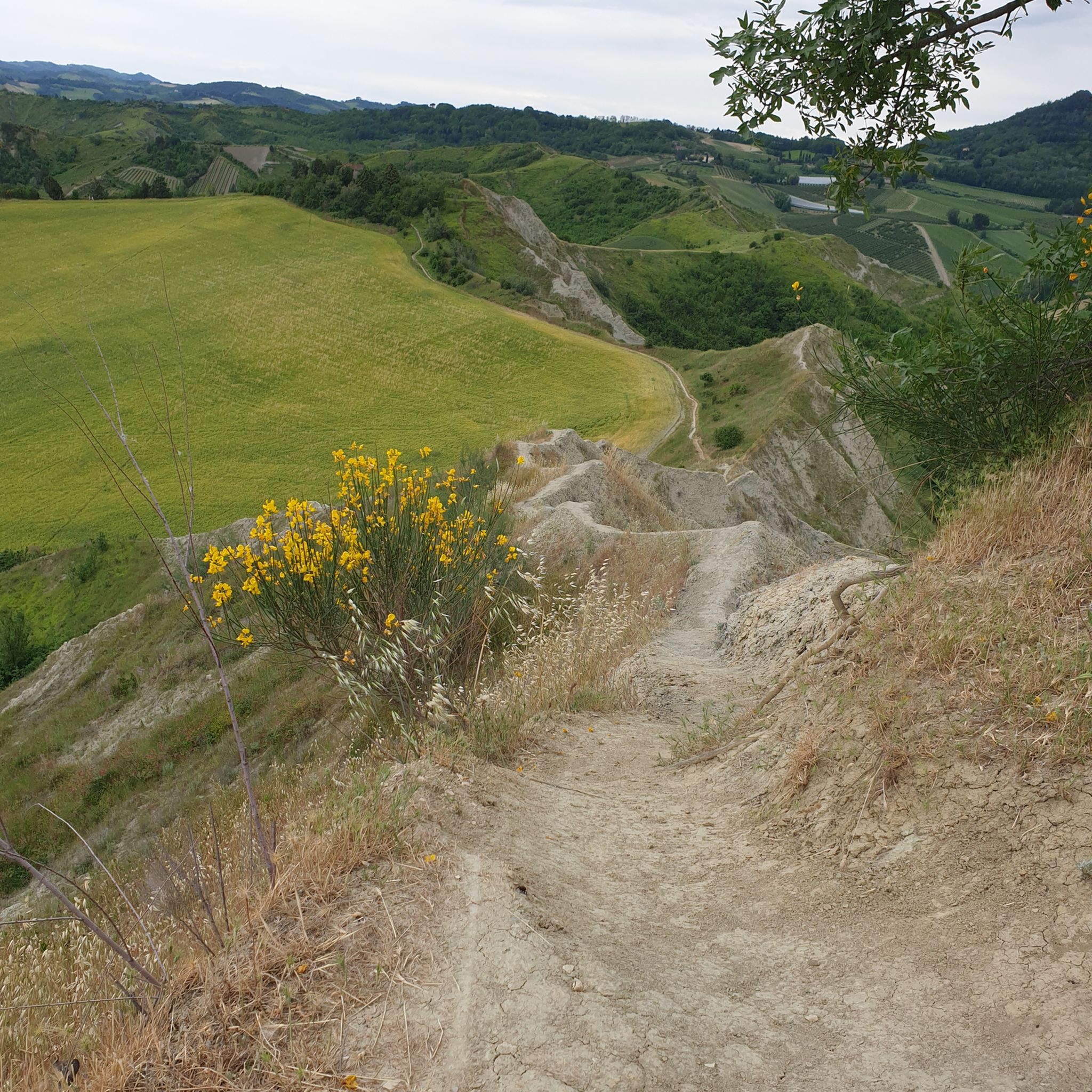
Fantastic landscape where the hills are furrowed by the spectacular silvery grey ridge that abruptly interrupts the gentle Romagna hilly profiles, a true geological monument of at least 6 million years.
0
0

We aborted the hike. The crumbling path wasn't safe enough for us.
2
0


Area with numerous singletracks and well-rideable trails
1
0


찾고 계신 것을 찾지 못하셨나요?
라벤나에서 더 많은 하이킹를 확인하고 목적지에서 완벽한 경로를 찾아보세요.
