굴리오네시 최고의 사이클링 경로
4.4
(82)
622
자전거 타는 사람
64
라이딩
굴리오네시 최고의 사이클링 경로를 따라 지역을 둘러볼까요? 굴리오네시에서 가장 멋진 자전거 라이딩 장소 중에서 가장 마음에 드는 라이딩을 선택해보세요.
마지막 업데이트: 8월 29, 2026
4.0
(2)
35
자전거 타는 사람
초급용 자전거 라이딩. 모든 체력 수준에 적합. 대부분 포장된 지면. 실력과 관계없이 누구나 갈 수 있음.
5.0
(2)
21
자전거 타는 사람
42.9km
02:57
750m
750m
어려운 자전거 타기. 우수한 체력 필요. 대부분 포장된 지면. 실력과 관계없이 누구나 갈 수 있음.

무료 회원 가입
4.0
(2)
22
자전거 타는 사람
보통 자전거 타기. 좋은 체력 필요. 대부분 포장된 지면. 실력과 관계없이 누구나 갈 수 있음.
4.7
(7)
24
자전거 타는 사람
39.9km
02:32
440m
440m
보통 자전거 타기. 좋은 체력 필요. 대부분 포장된 지면. 실력과 관계없이 누구나 갈 수 있음.
5.0
(4)
15
자전거 타는 사람
70.9km
04:41
1,000m
1,000m
어려운 자전거 타기. 우수한 체력 필요. 대부분 포장된 지면. 실력과 관계없이 누구나 갈 수 있음.
더 다양한 경로와 다른 탐험가들의 추천을 살펴보세요.
무료 회원 가입
이미 komoot 계정이 있나요?
투어 추천은 다른 사람들이 komoot에서 완료한 수천 개의 활동을 바탕으로 구성되어 있습니다.
오늘 무료 계정으로 시작하세요
다음 모험이 기다리고 있어요.
로그인 또는 가입하기
굴리오네시 주변 인기 장소
커뮤니티 팁

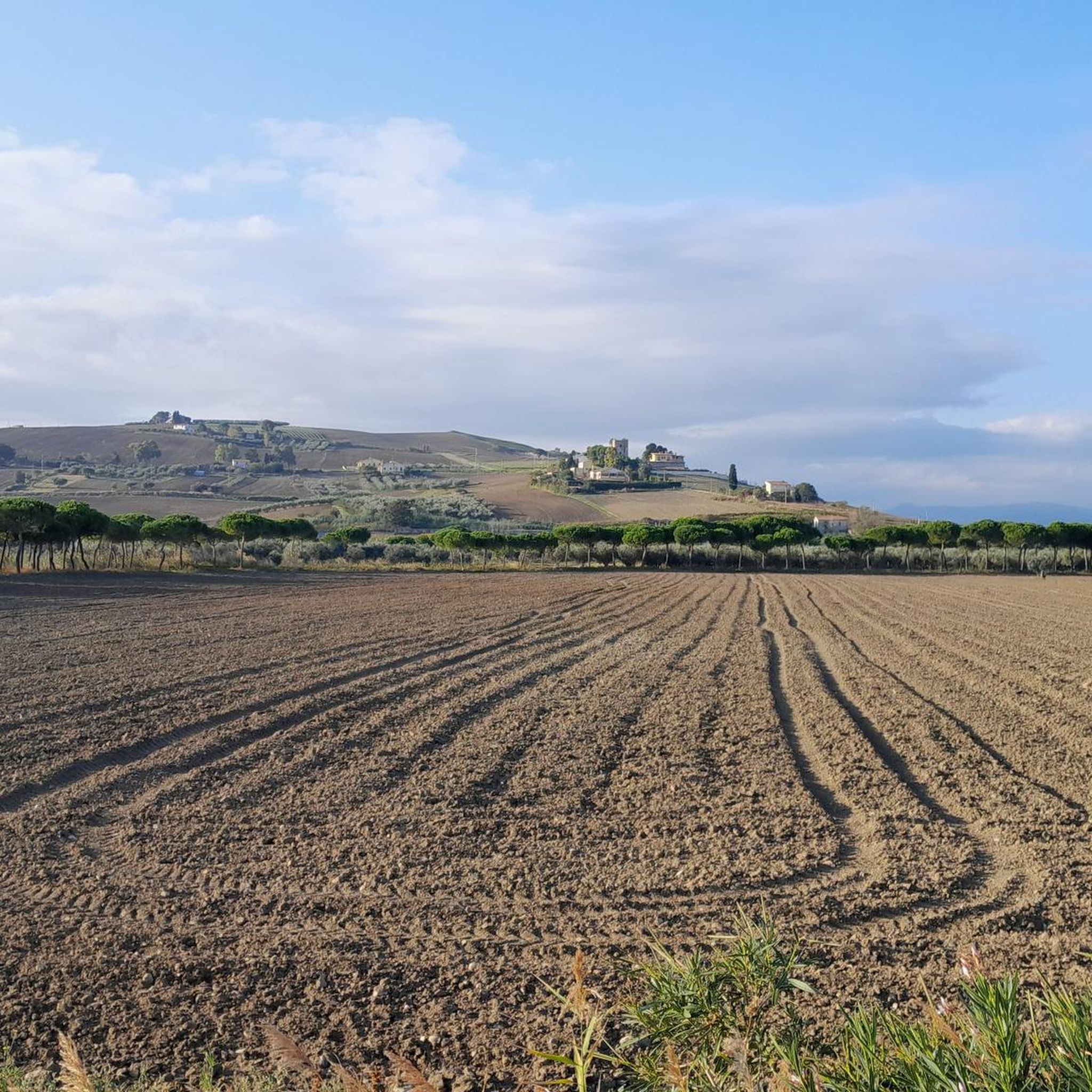
The route through the hinterland is definitely recommended compared to the Strada Statale along the coast
0
0

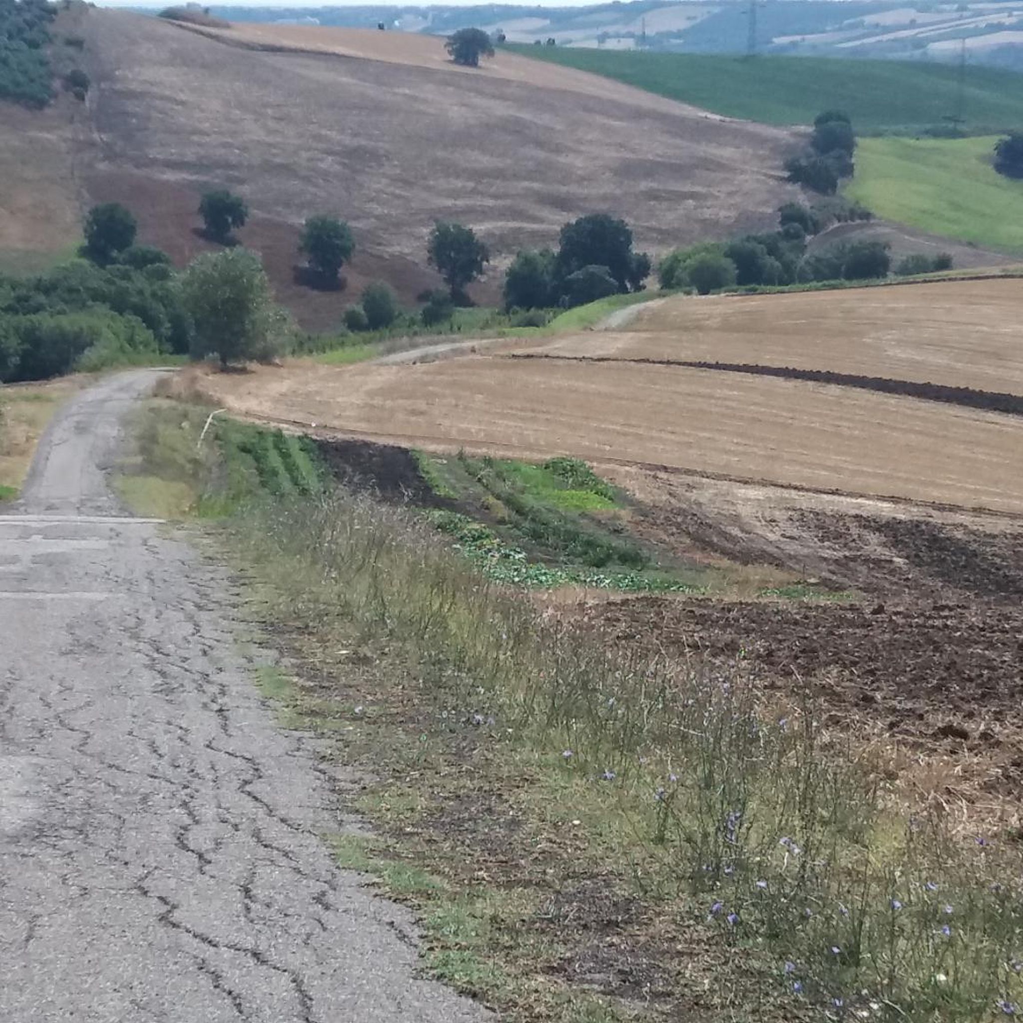
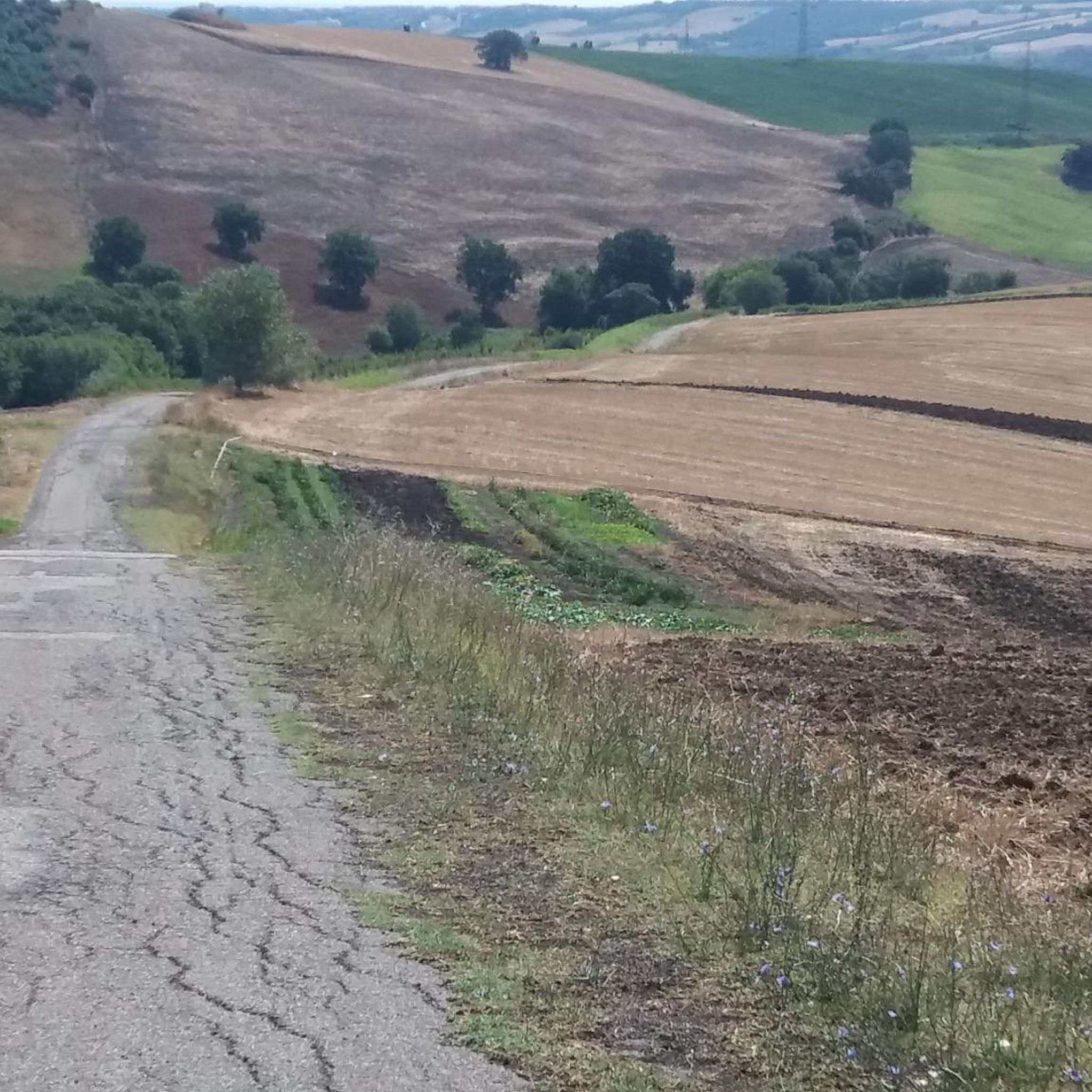
Outside the town centre, there is a nice stretch of mixed dirt and light asphalt which, with not too demanding descents and climbs, makes you lose yourself on the Molise hills, worth trying.
0
0

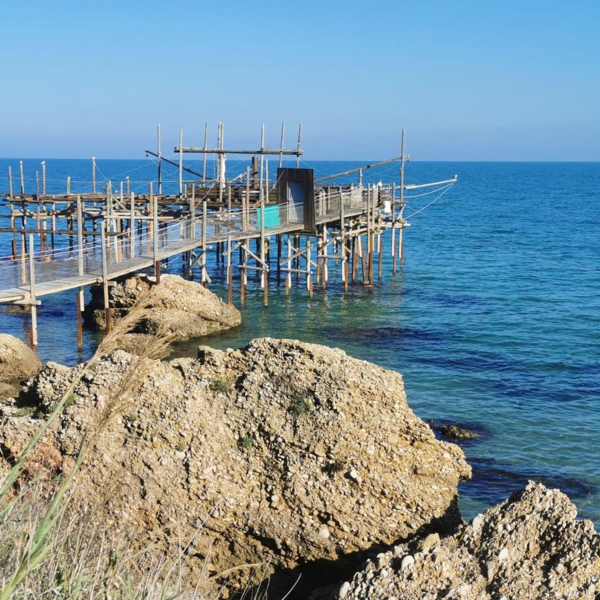
From the mouth of the Sinacra river you can enjoy a beautiful stretch of cycle path
0
0
Breathtaking panorama, the Gargano promontory and the Majella.
0
0
이미 존재하는 구간은 Sinarca 강 하구에서 시작하는 테르몰리 북쪽 해안 산책로 구간입니다.
1
0
Natural areas Behind the beach there is a system of dunes among the most valuable on the Adriatic coast and a vast pine forest subject to environmental protection. On 15 May 2012 Petacciato received the "Blue Flag" for the first time, an award given to the best European beaches for water quality, services and ecosystem protection[5], an award awarded again until 2016
0
0
Monuments and places of interest Norman castle: it is located in the highest part of the old town, and dates back to the 11th century. In 1463 the fiefdom refused to submit to the Vasto authority of Antonio Caldora and was set on fire. Destroyed several times by Saracen and Turkish incursions, in the 16th century, following the last Ottoman attack, the castle was restored as a Renaissance palace, equipped with some neo-Gothic embellishments in the 19th century. The rectangular structure has the shape of a noble palace, whose medieval features are found in the top adorned with corbels and in the access portal, with lateral hinges, since it was in the past connected to a drawbridge. Church of Santa Maria di Petacciato: built in Apulian Romanesque style in the 13th century with the restoration of Frederick II, the church was dedicated to San Rocco until 1967, and has a single nave. Subsequently another one was added, together with the three analyses[unclear]. The bell tower is a sturdy tower that stands out above the town. The very small and intimate façade is a Renaissance reworking of the right side of the church, squeezed between the bell tower and the civilian homes. Torre di Petacciato: coastal tower of the defensive system against the Turks, commissioned by Charles V in the 16th century. The tower today is a ruin, split in two, in need of restoration. Church of San Rocco: built in 1967, inaugurated by Msgr. Giovanni Proni, is located in the modern part of the town, along Viale Pietravalle.
0
0
The history of Petacciato is very ancient, but at the same time of uncertain origin, as there is partially dubious documentation. In pre-Roman times it was occupied by the Frentani, a people of uncertain origin. In fact, according to some historians these descended from the Samnites, for others, however, from the Liburnians, the Sabines or the Etruscans. Its names have also been multiple: Petazio, of Greco-Roman origin, means wide-brimmed hat, Potare, which means "to drink in abundance", probably due to the presence of numerous springs in its territory, as well as Betavium, "Petacciata" , "Pitacciato" etc. The territory of Petacciato has always been disputed by various peoples and bandits. It suffered attacks from the Goths (5th century), the Byzantines (6th century), the Lombards (7th century). The coastal center has been destroyed several times by earthquakes; those that occurred in the years 1117, 1125, 1456 are worth mentioning. The latter, in particular, on the night between 4 and 5 December, caused a terrible destruction of the town with the consequent death of numerous inhabitants. A few years of poverty and abandonment of the country followed. In 1463 Petacciato was again razed to the ground by the Angevins, in battle against the Aragonese who Petacciato, together with Guglionesi, a neighboring town, had strenuously defended. Only towards the middle of the 16th century did Petacciato experience moments of prosperity again. In fact, there were settlements of Slavic people who guaranteed the repopulation of the territory. It was annexed to the University of Guglionesi, but in 1618 the Feudo di Petacciato was sold and taken over by the Duke of Celenza (Abruzzo) Giulio Cesare Caracciolo in 1619. These contributed to strengthening that phase of repopulation and economic recovery of the country. Towards the end of the 16th century Petacciato was invaded by the Turks, becoming a refuge for bandits. In its long and troubled history, Petacciato also experienced the dominion of the D'Avalos, a noble Neapolitan family who contributed significantly to restoring economic, social, cultural and religious development to the town. Petacciato, despite its thousand-year history, only became an independent municipality on 30 December 1923, breaking away from Guglionesi.
0
0
굴리오네시 주변에서 가장 인기 있는 경로
굴리오네시 주변에서 가장 인기 있는 명소


더 살펴보기
다른 지역의 최고의 자전거 경로를 살펴보세요.
