14의 치비타캄포마라노가지 명소 & 주요 장소
치비타캄포마라노에는 둘러볼 만한 장소가 많답니다. 하이킹 또는 사이클링을 좋아한다면 치비타캄포마라노에 숨겨진 14
가지 보석을 만날 수 있을 거예요. 이 지역의 주요 명소를 살펴보면서 다음 모험을 계획해보세요.
마지막 업데이트: 10월 18, 2026
산탄젤로 리모사노 역사 마을
하이라이트 • 정착지
번역자 Google •
팁에 의해

산 니콜라 계단과 트리벤토 대성당
하이라이트 • 역사적 장소
팁에 의해

이런 장소를 발견하려면 지금 가입하세요
최고의 싱글 트랙, 봉우리 및 다양한 흥미로운 야외 장소에 대한 추천을 받아보세요.

로카비바라 시내 중심가
하이라이트 • 정착지
번역자 Google •
팁에 의해
산타 마리아 델 칸네토 성지
하이라이트 • 종교적 장소
번역자 Google •
팁에 의해

무료로 가입하여 치비타캄포마라노 주변의 더 많은 명소를 발견하세요.
이미 komoot 계정이 있나요?
오늘 무료 계정으로 시작하세요
다음 모험이 기다리고 있어요.
치비타캄포마라노 주변 인기 장소

커뮤니티 팁

The Torre della Fara is located in Torre della Fara in the municipality of Celenza sul Trigno in the province of Chieti. The tower is located near the Trigno river and the Ateleta-Biferno sheep track and was in visual connection with neighboring towns and with the monastery of Santa Maria del Canneto of Roccavivara (Molise). (Source Wikipedia.)
1
0

The church that has survived today dates back to the 11th-12th centuries, has a Latin cross plan, with three apses. The facade has no relevant decorative elements, except for a bas-relief on the lunette of the portal. In the external walls of the church are inserted tombstones and various inscriptions from the Roman and medieval times, while, on the right, stands a mighty bell tower, completed in 1329 by the Abbot Nicola, consisting of a crenellated Gothic tower with three-light windows on the arches . The interior of the church is austere and has three naves, each ending in a semicircular apse. Along the central nave there is a valuable ambo, finely decorated, built in 1223, partly with older reused materials. The ambo is supported by three unequal arches and, under the parapet, there are seven small aedicules: the central one must have supported an eagle which, with its outstretched wings, served as a lectern. The others are occupied by six monks in high relief, intent on the activities that represent the monastic rule of the ora et labora. Behind the high altar is the statue of the Madonna di Canneto, dating back to the 14th century, in Gothic style, and also known as the Virgin of the Smile. In the area adjacent to the church, there are archaeological excavations which have brought to light the remains of a Roman villa from the 1st century AD.
0
0
The Torre della Fara is located in Torre della Fara in the municipality of Celenza sul Trigno in the province of Chieti. The tower is located near the Trigno river and the Ateleta-Biferno tratturo and was in visual connection with neighboring towns and with the monastery of Santa Maria del Canneto in Roccavivara (Molise). The tower dates back to the 12th century.[1] Even if the toponym recalls the Longobard fara, it is, however, difficult to identify the period of construction of the site.[ The tower has a cylindrical structure and is made of stone[1], but stone fragments are also used to frame the openings and loopholes[2]. The tower is 15 meters high and 6 meters in diameter. The tower has no scarp walls and, at a third of the height there is an opening which, probably, is a raised entrance. Furthermore, inside there are the holes where the beams used to support the various levels. The roof inside is vaulted with a lowered cap. The use of mortar in the Torre della Fara decreases with height[1] just as the thickness of the walls decreases with increasing height
0
0

Small village in the province of Campobasso, it boasts medieval ramparts and a medieval church (XIII) with a chapel dedicated to Pietro da Morrone (later Pope Celestino V)
1
0

There are two hypotheses on the origins of its name, the first has it that it derives from Rocca Bonnarii, referring to its founder, a certain Bonnario; the second that it comes from Rocca di Vivara, referring to the district of Vivara still existing and bordering the municipality of Roccavivara. The lower part of the Roccavivara countryside offers ample evidence of the presence of inhabited centers at the time of republican and imperial Rome. Historical information tells us that in 1268 Gualtiero di Vollers was feudal lord of Roccavivara; he was followed by Bertrando Cantelmo, whose descendants held the dominion until 1442. Subsequently the power passed to the Sangro, the Carafa and the Coppola until the abolition of feudalism. A very interesting site was found in San Fabiano: a Roman villa certainly built on a ground floor supported by a megalithic construction.
0
0
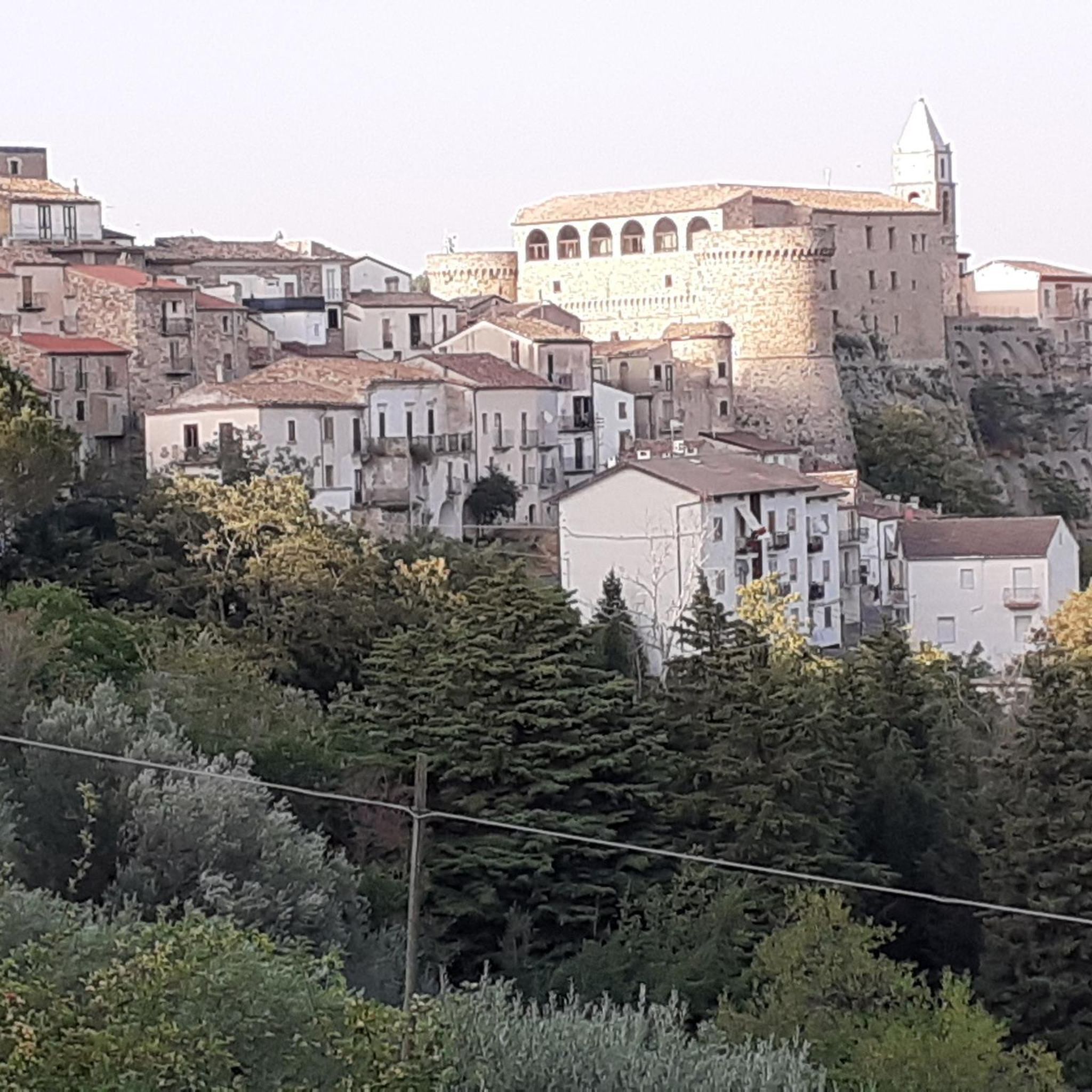
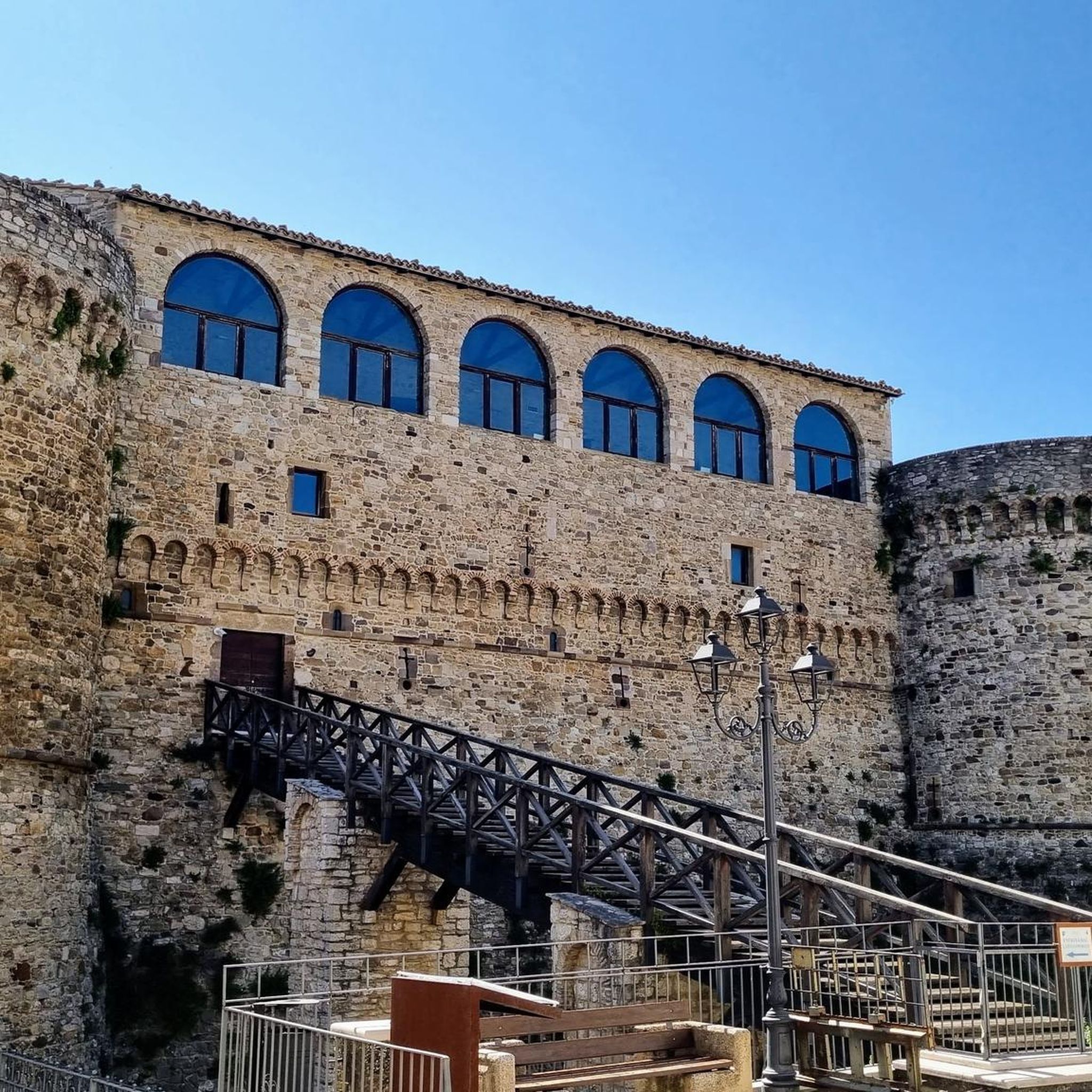
The town is located at 900 m a.s.l. and, from some points of the place, you can see the Tremiti islands and the tops of the Maiella. On the hill there is a castle, albeit in advanced ruins. There is no certain information about the birth of Sant’Angelo Limosano for sure, however, it is known that in the past it was the fortress of the nearby town of Limosano. The last feudal lords were the de Attellis who ruled the territory from 1650 until the abolition of feudalism. The conditions of the town improved when, in the seventeenth century, the baron moved from the top of the castle to the inhabited center and when Cardinal Vincenzo Maria Orsini took important initiatives during his numerous pastoral visits. Sant’Angelo Limosano claims the Sant Angiolese citizenship of Pope San Pier Celestino (Celestino V), who has not yet been recognized as the dispute with Isernia is still underway. It is also the birthplace of the self-taught inventor Alessio Marone to whom the Corso that winds under the great Vittorio Emanuele III ramp, the main access road to the town, is named. Il Marone is remembered for the invention of the electromagnetic-chemical telegraph and the Maltese cross tubular bridges. The parish church of Santa Maria Assunta in Cielo, restored over the past centuries, is a harmonious building to visit. Another place to admire is the ancient church of San Pier Celestino which in 1695 was transformed by Cardinal Orsini into a granary because it had not been restored according to his orders. Going along via del Municipio, you arrive at Rua and Contrada di San Pietro. Places linked to the name of Pope Angelico are the "hill" and the "Fonte di San Pietro" from which water begins to flow after the winter, a few days before the feast of the Saint, on 19 May. Worth visiting is the sanctuary of the Madonna delle Stelle, built two kilometers from the town, to the west, following the discovery of a statue of the Madonna on January 3, 1926.
0
0
Arte e storia del territorio molisano caratterizzano anche il paese di Trivento, in provincia di Campobasso, cosi chiamato perché ancora oggi è esposto ai venti dell’est, del sud e del nord. Vi si accede tramite una salita che porta in cima al colle e proietta il visitatore in un’altra dimensione, dove a trionfare è la pietra. Ovunque tutto intorno è fatto di pietra, ad incominciare dalla fontana monumentale fino alla magnifica scalinata a tre corsie, formata da quella centrale molto ampia e da due laterali più piccole. E’ la scalinata di San Nicola, dove sfilano uno dopo l’altro ben 365 gradini, che si dice siano uno per ogni giorno dell’anno. Conduce alla parte alta del borgo collegando la piazza al centro storico: ai suoi lati si ergono gli edifici più importanti del paese e da sempre è il simbolo di accoglienza di Trivento, rappresentando una delle più belle gradinate di tutto il Molise. Scalino dopo scalino si arriva davanti alla Chiesa di San Nicola, davanti alla quale si può ammirare una bella statua marmorea del Cuore Immacolato di Maria. A quota 150 scalini ci si può fermare su Largo di Porta Maggiore dove la visuale spazia sulla Trivento moderna e si perde sulla montagna circostante. A quota 175 una poderosa costruzione la costringe a diramarsi e dare luogo a Via Roma, una strada fatta di scale. Al 234esimo scalino si apre invece la grande piazza che ospita la Cattedrale, il Campanile, la chiesa della SS Trinità e la Curia. La Cattedrale è l’altro simbolo cittadino, eretta su una preesistente basilica dedicata a San Casto. Ha subito nei secoli vari restauri ma custodisce tutt’ora preziosi tesori artistici tra cui la Cripta, situata a qualche metro di profondità sotto il transetto e il presbiterio, che segna il passaggio dal Tempio pagano, dedicato a Diana, al primo Cristianesimo. Della sua fase più antica la Cattedrale conserva oltre ad un' iscrizione del 1076 con la dedica ai Santi Nazario e Casto, una serie di archetti pensili che a tratti la coronano esternamente. Sull'altare c'è una lunetta in pietra, risalente al XIII secolo, con bassorilievo raffigurante la Trinità fiancheggiata da due angeli e due delfini. Tra le tre sculture lignee spicca una Madonna in trono del Duecento. A sinistra della Cattedrale un portale con arco a ogiva introduce nel Giardino dell’Episcopio da cui si può osservare la fiancata romanica della chiesa e, nelle aiuole, frammenti di cippi funerari romane. Quando poi si arriva in cima la vista ripaga della salita, con la panoramica a 360° che spazia dai profili frastagliati dei monti ai paesini dirimpettai come Schiavi d’Abruzzo, Vastogirardi e Pietrabbondante.
0
0
치비타캄포마라노 주변에서 가장 인기 있는 경로


더 살펴보기
찾고 있는 하이라이트를 아직 못 찾으셨나요? 다른 지역의 주요 명소 가이드를 확인해보세요:
