폰도르프 최고의 워킹 & 하이킹 경로
4.4
(939)
5,570
등산객
332
하이킹
Komoot에 등록된 폰도르프 내 트레일 및 경로 컬렉션 중에서 하이킹과 워킹을 가장 멋지게 즐길 수 있는 곳을 알려드릴게요. 아래에서 각 경로의 상세 정보를 모두 확인한 후, 폰도르프 속 자연에서 즐거운 시간을 누려보세요.
마지막 업데이트: 7월 15, 2026
4.7
(6)
27
등산객
7.21km
02:01
140m
140m
보통 하이킹. 좋은 체력 필요. 실력과 관계없이 누구나 쉽게 갈 수 있는 길.
9
등산객
11.6km
03:13
200m
200m
보통 하이킹. 좋은 체력 필요. 실력과 관계없이 누구나 쉽게 갈 수 있는 길.

무료 회원 가입
5.0
(2)
12
등산객
5.11km
01:24
90m
90m
초급용 하이킹. 모든 체력 수준에 적합. 실력과 관계없이 누구나 쉽게 갈 수 있는 길.
4.7
(3)
11
등산객
8.35km
02:18
140m
150m
보통 하이킹. 좋은 체력 필요. 실력과 관계없이 누구나 쉽게 갈 수 있는 길.
6
등산객
12.0km
03:19
210m
210m
보통 하이킹. 좋은 체력 필요. 실력과 관계없이 누구나 쉽게 갈 수 있는 길.
더 다양한 경로와 다른 탐험가들의 추천을 살펴보세요.
무료 회원 가입
이미 komoot 계정이 있나요?
투어 추천은 다른 사람들이 komoot에서 완료한 수천 개의 활동을 바탕으로 구성되어 있습니다.
오늘 무료 계정으로 시작하세요
다음 모험이 기다리고 있어요.
로그인 또는 가입하기
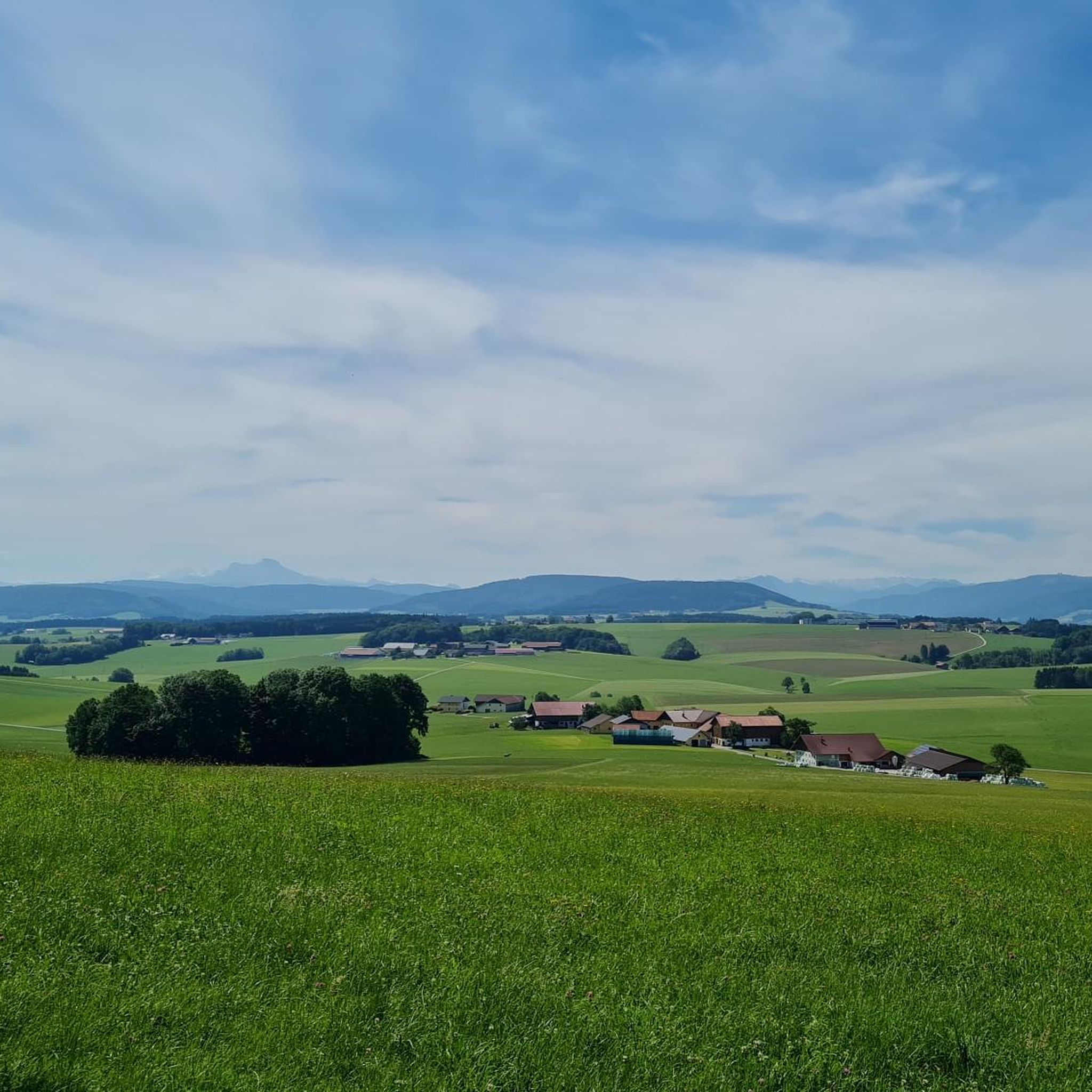
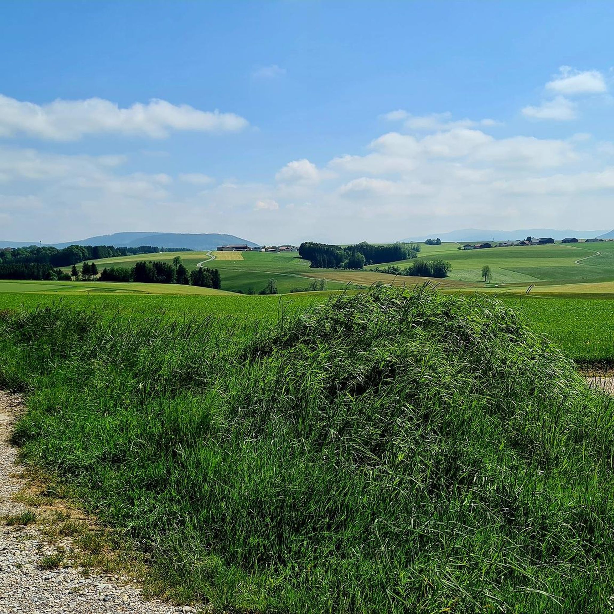
커뮤니티 팁

Here, the tailor from Forstern lost and found his scissors while walking to the cold ice in the Stör. Hence the name "Schneida Schaa"
1
0

You can get up there by bike, on foot, or other means.
0
0

This is a great tour that will show you the natural beauty and history of the region. 😊 The tour is 51.6 km long and has a vertical drop of 713 m. It is classified as moderate and requires a good level of fitness and an off-road bike. The tour starts at the train station in Mauerkirchen and first takes you through the Kobernauerwald, the largest contiguous forest in Austria. On the way you will pass the Schachl Chapel, a small 18th-century church surrounded by an idyllic cemetery. You continue through the forest and pass the historic border between Bavaria and Austria, which is marked by a stone. You then reach the Turmwirt Kobernauserwald, a cozy inn with a lookout tower from which you have a wonderful view over the Innviertel. After a well-deserved break, you drive back through the Mattig Valley, through which the Mattig River flows. You follow the bike path along the river and enjoy the landscape of meadows, fields and villages. You will pass a beautiful vantage point in Seppenroith from which you can see the mountains. You continue through the towns of Uttendorf, Lengau and Friedburg, where you can discover many sights such as churches, castles and museums. You finally reach the train station in Mauerkirchen again, where your tour ends.
6
1
It is a 734 meter high mountain in the Hausruck and Kobernausserwald range in the Hausruckviertel. The summit is in the municipality of Pöndorf. To the northwest, the Rabenbachtal leads to the Hochecker Schwemmbachtal and thus to Mattig and Inn, to the west is the Fornacher Redltal, which drains with the Bruckwiesenbach to the Vöckla and via the Ager to the Traun. The mountain is mostly counted towards the Kobernausserwald, partly also towards the Hausruck – the demarcation of which is seen somewhere in the room. The name is likely to be of Slavic origin, -eis is a typical Windian educational syllable. In the Franciscan cadastre of the 1830s, a small hilltop settlement of Branauer is listed here, as well as an important border tree. There is said to have been an inn here. A single hut still stands today. A chapel is said to have stood nearby even earlier, according to Carl Schütz in 1787, in the south towards Meisterholz there is a St. Wolfgang. It must have fallen into disrepair by the 1830s. The mountain can be reached from all sides on numerous forest roads, through the valleys as well as along the ridges. A forest road also runs along the ridge itself. This makes the area good for hiking and mountain biking
2
0

a great route, lots of nature no traffic and great views and surroundings
0
0
폰도르프 주변에서 가장 인기 있는 명소


더 살펴보기
다른 지역의 최고의 하이킹를 살펴보세요.
