퀘이라스에서 가장 멋진 20개의 산 정상
퀘이라스의 산 정상에 오르면 이 지역의 아름다운 모습을 제대로 구경할 수 있어요. 다만, 20
곳이나 되는 산 정상 중에서 어떤 곳을 가야 할 지 고민된다는 게 문제죠. 퀘이라스에서 가장 멋진 산 정상을 살펴본 후에 마음에 드는 산 정상을 다음 모험 계획에 추가해보세요.
마지막 업데이트: 8월 31, 2026
팽 드 쉬크르 정상
하이라이트 • 정상
번역자 Google •
팁에 의해

콜 블랑셰 (2997m)
하이라이트 • 산악 고개
팁에 의해

이런 장소를 발견하려면 지금 가입하세요
최고의 싱글 트랙, 봉우리 및 다양한 흥미로운 야외 장소에 대한 추천을 받아보세요.
무료 회원 가입
라 콜레트 드 질리
하이라이트 • 정상
번역자 Google •
팁에 의해
콜레 델라녤로 - 콜 아녤
하이라이트 • 산악 고개
번역자 Google •
팁에 의해

플랑 뒤 발롱 오두막
하이라이트 • 정상
번역자 Google •
팁에 의해

무료로 가입하여 퀘이라스의 더 많은 봉우리를 발견하세요.
무료 회원 가입
이미 komoot 계정이 있나요?
오늘 무료 계정으로 시작하세요
다음 모험이 기다리고 있어요.
로그인 또는 가입하기
퀘이라스 주변 인기 장소
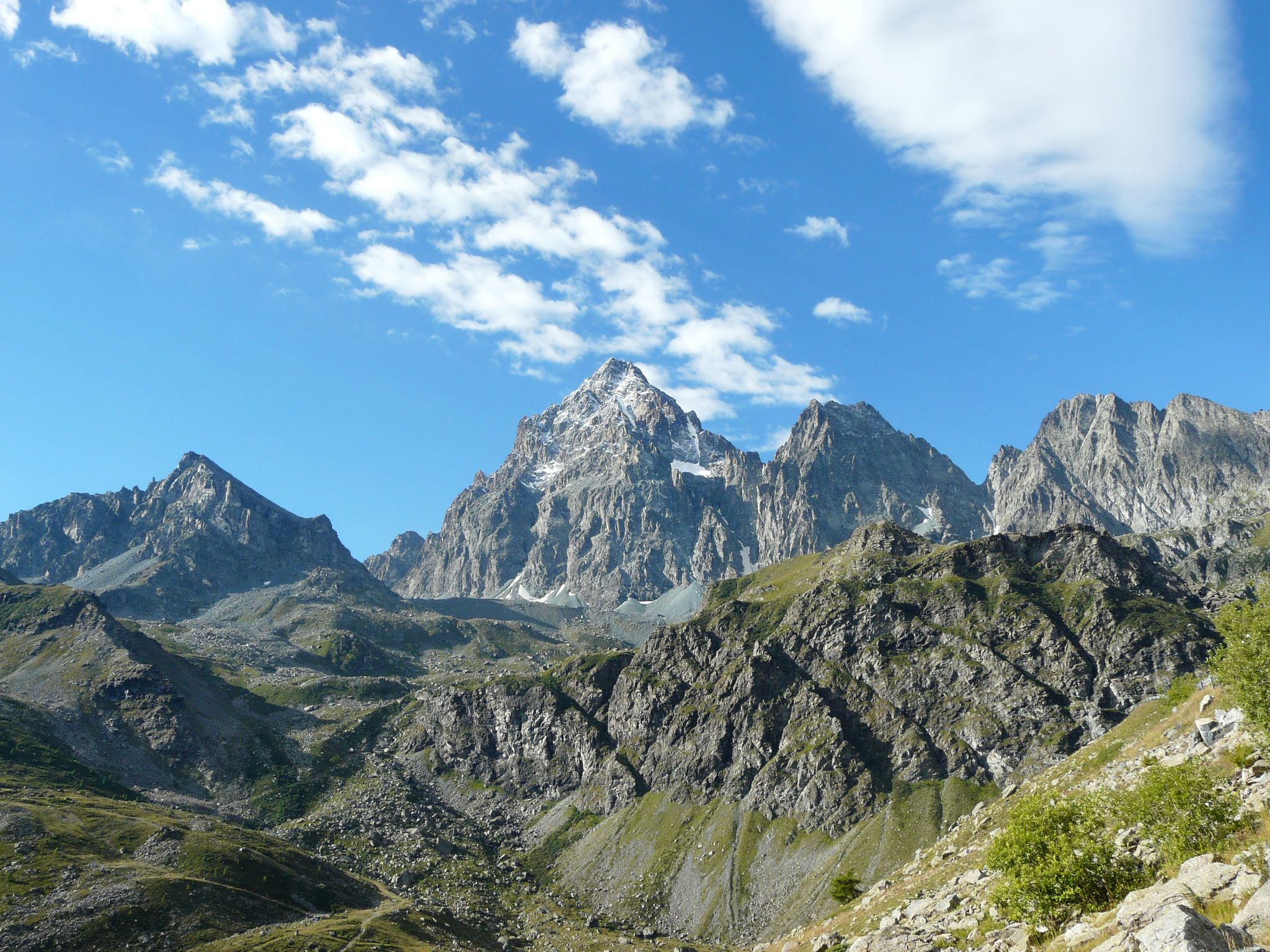
Quattro giorni intorno al Re di Pietra – Giro di Viso in quattro giorni da Castello
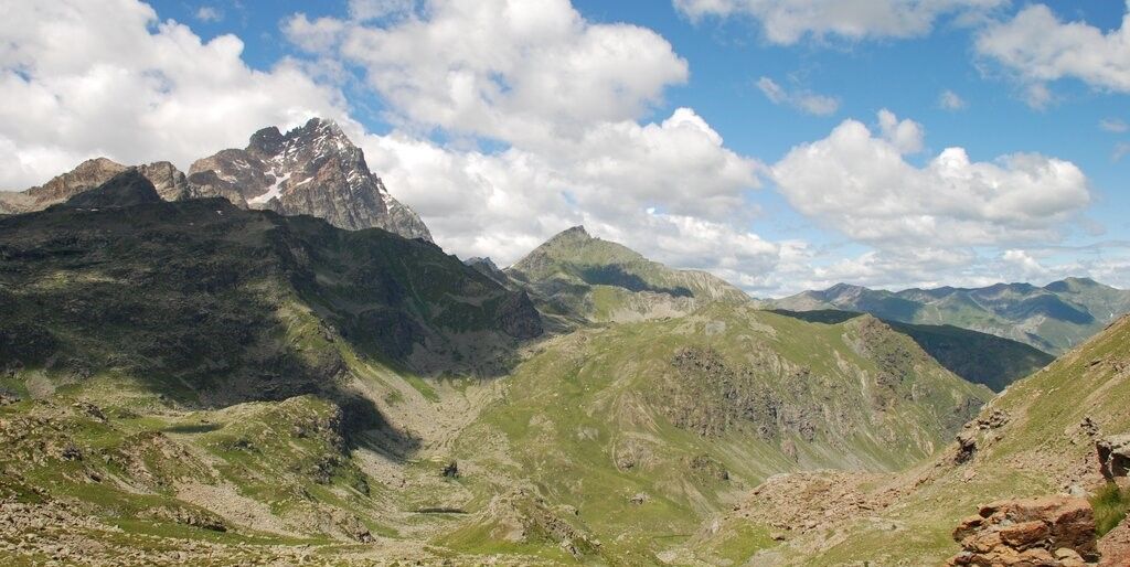
Quattro giorni intorno al Re di Pietra – Giro di Viso in quattro giorni da Meire Dacant

샤모니에서 중해까지 - Transalps MTB
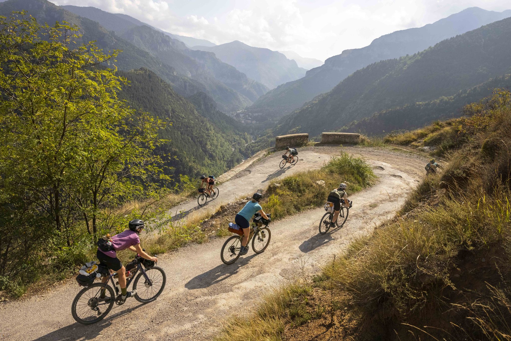
코무트 레일의 2021년 라엘 토리노 니스 여자 랠리

코무트 투리노-니체 랠리
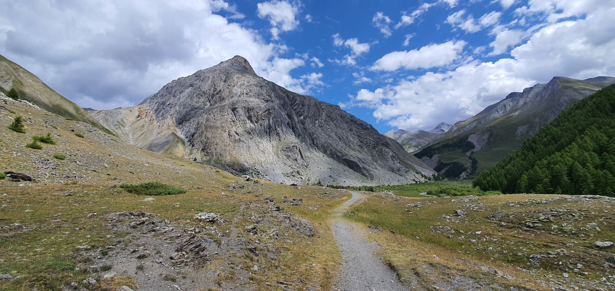
서부 트랜스알프스 교차 - 마운틴 바이크로 순수한 모험
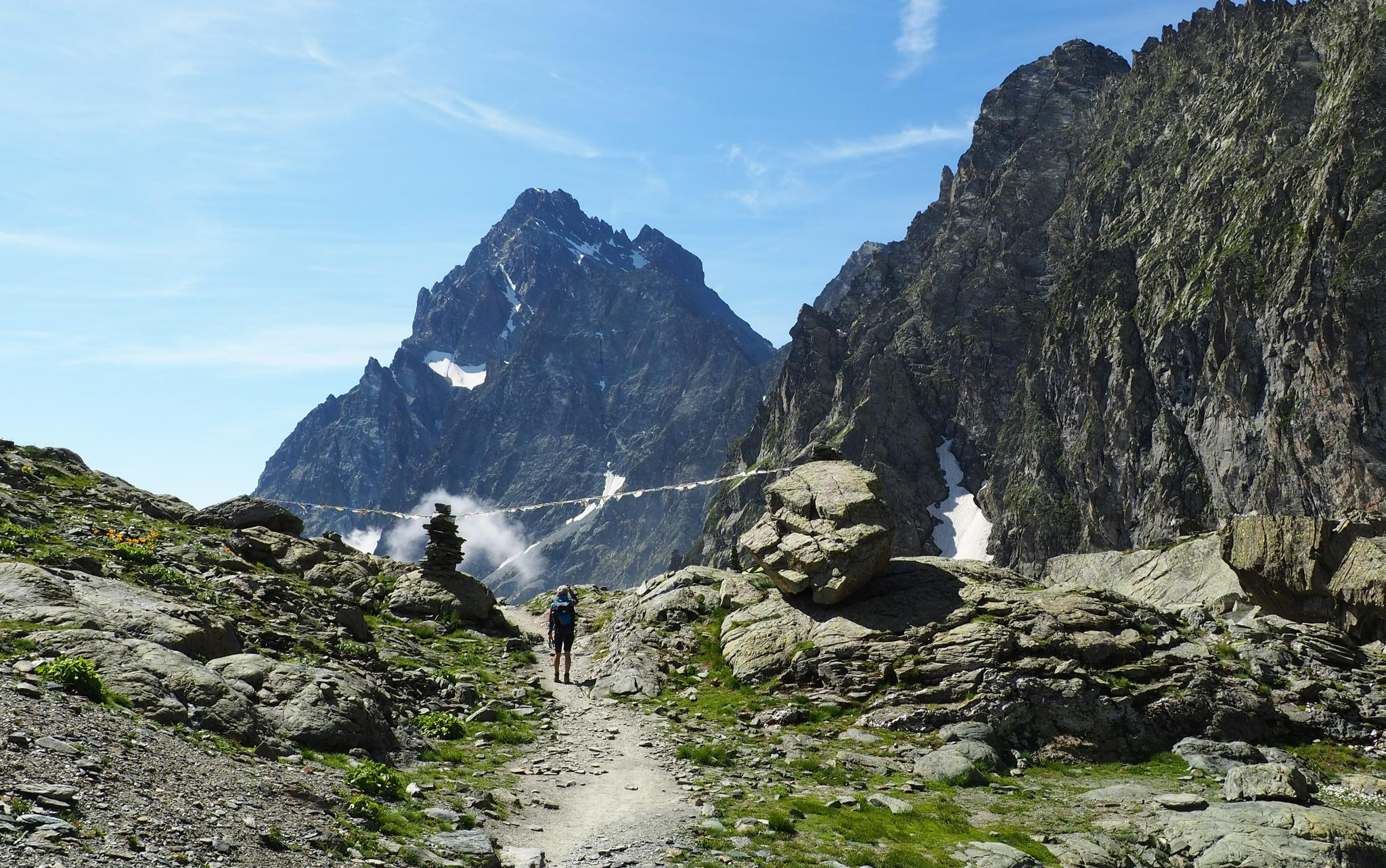
On the trails of the Stone King – trekking among the huts of Monviso
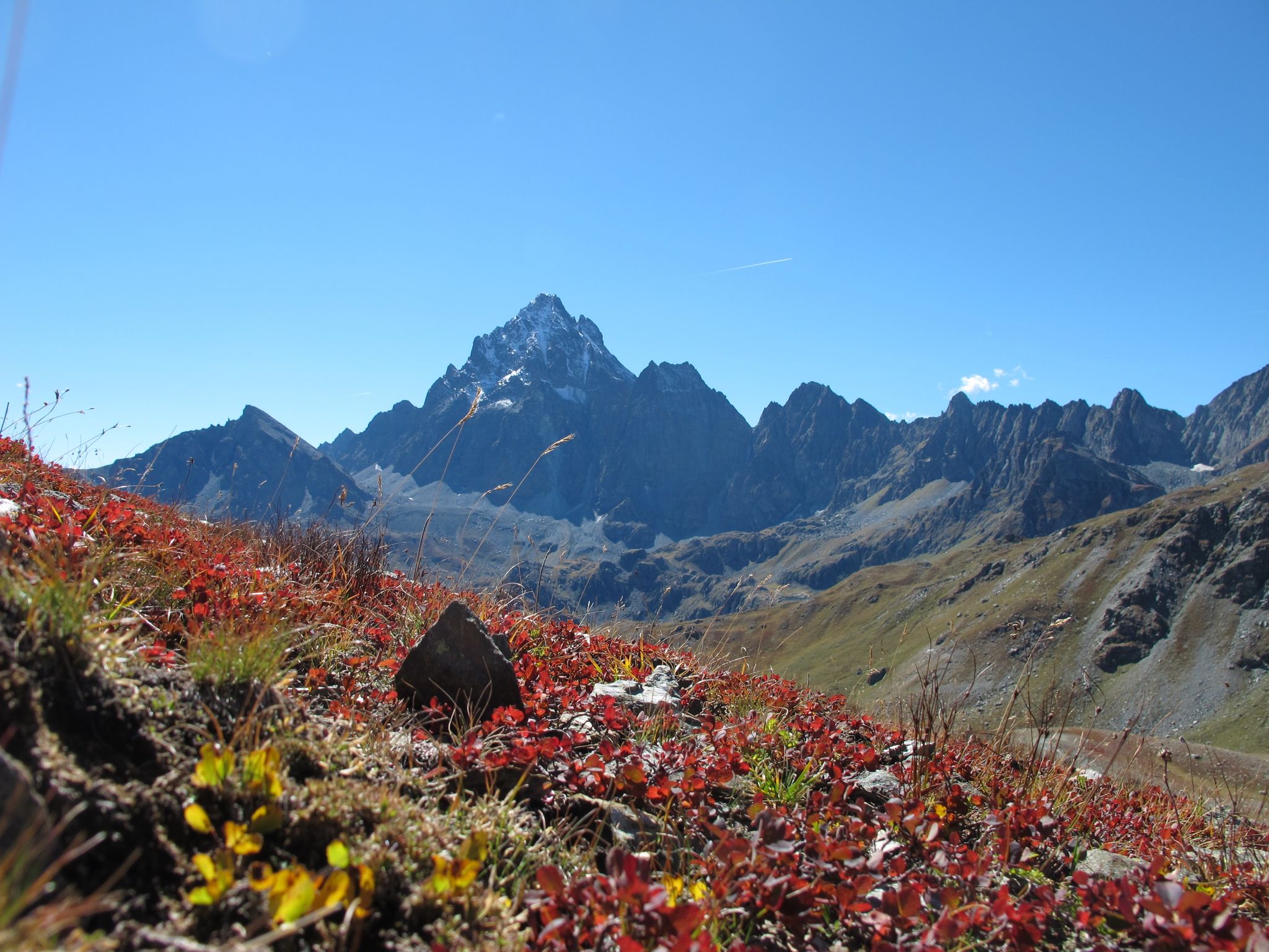
레 디 피에트라 주변 삼일 - 카스텔로에서 비조 일주

8 hikes in the Hautes-Alpes — mountain passes and high-altitude lakes

Seven MTB routes in the Southern Alps – nature, passes and valleys
퀘이라스의 다른 모험


커뮤니티 팁

https://youtu.be/JFu9Uf70ECw?si=5jd76ATJkKHsYo-D Pushing up a manageable, sustainable steep section from the lake. Then it's like a high plateau, and from here you can roll down towards the Ubaye Valley via Longet without much difficulty. I initially planned to reach the Ubaye Valley via the Noir, but it was so steep to push that I quickly switched to the Blanchet/Longet route. The two passes start more or less 100 meters from the lake. I can't imagine that going down to the lake would be any fun on the Noir either.
0
0

The altitude of Col Blanchet needs to be corrected, it is 2897 metres
0
0

This Colle dell'Agnello is one of the most classic climbs in the Western Alps, and has often been the scene of stages of the Giro d'Italia. Very challenging both for its length and the difference in altitude, and for its altitude (it starts from 1,800 meters in Chianale and reaches almost 2,750 meters on the hill). The views, however, are stunning and worth the effort. The French side is less steep, so those who tackle it during trips lasting several days can plan the climb from France, which is less challenging, and enjoy the descent and the views.
1
0

An endless climb, it really puts you to the test but the views are incredible.
17
0

I recommend going up from La Monta and going down towards Ristolas; you can enjoy the views even better from this direction. In summer, there are buses that stop at each village in the early morning and again in the late afternoon. But the complete tour on foot is not that difficult.
1
0
An endless climb with wonderful views.
11
0

The summit is located at 3209 meters above sea level on the border of France and Italy. You get beautiful 360 degree views, with Monte Viso (paramount logo) and Mont Blanc filling the view. In my experience the climb was challenging. The paths were not always clear, so we took the wrong path twice and had to climb instead of walking. I recommend staying in group to avoid doubt and follow the gravel path. Despite the brief fear, it was definitely worth it!! Top experience
0
0

Magnificent hike between Abries and La Monta, which offers beautiful views of the mountain pastures, the Viso and many peaks. The ridges are easy to access and rounded, the biggest difficulty must be the encounter with patous in high season.
3
0
퀘이라스에서 가장 인기 있는 명소


더 살펴보기
이 가이드를 통해 퀘이라스의 더 놀라운 정상들을 확인해보세요:
