플로웬 최고의 워킹 & 하이킹 경로
4.6
(92)
382
등산객
26
하이킹
Komoot에 등록된 플로웬 내 트레일 및 경로 컬렉션 중에서 하이킹과 워킹을 가장 멋지게 즐길 수 있는 곳을 알려드릴게요. 아래에서 각 경로의 상세 정보를 모두 확인한 후, 플로웬 속 자연에서 즐거운 시간을 누려보세요.
마지막 업데이트: 10월 14, 2026
4.6
(49)
185
등산객
5.34km
01:22
20m
20m
초급용 하이킹. 모든 체력 수준에 적합. 실력과 관계없이 누구나 쉽게 갈 수 있는 길.
3.8
(5)
6
등산객
9.13km
02:21
50m
50m
보통 하이킹. 좋은 체력 필요. 실력과 관계없이 누구나 쉽게 갈 수 있는 길.

4.7
(3)
5
등산객
17.4km
04:26
60m
60m
보통 하이킹. 좋은 체력 필요. 실력과 관계없이 누구나 쉽게 갈 수 있는 길.
5
등산객
5.48km
01:24
10m
10m
초급용 하이킹. 모든 체력 수준에 적합. 실력과 관계없이 누구나 쉽게 갈 수 있는 길.
3
등산객
9.50km
02:27
50m
50m
보통 하이킹. 좋은 체력 필요. 실력과 관계없이 누구나 쉽게 갈 수 있는 길.
더 다양한 경로와 다른 탐험가들의 추천을 살펴보세요.
이미 komoot 계정이 있나요?
투어 추천은 다른 사람들이 komoot에서 완료한 수천 개의 활동을 바탕으로 구성되어 있습니다.
오늘 무료 계정으로 시작하세요
다음 모험이 기다리고 있어요.
커뮤니티 팁

이 지역 자체는 직접적인 전투 피해를 입지 않았습니다. 약 2,400명(1918년 기준)의 주민 중 남성 1,176명이 징집되었습니다. 전쟁이 끝날 때까지 79명의 병사가 전사하고 36명이 중상을 입었습니다.
0
0
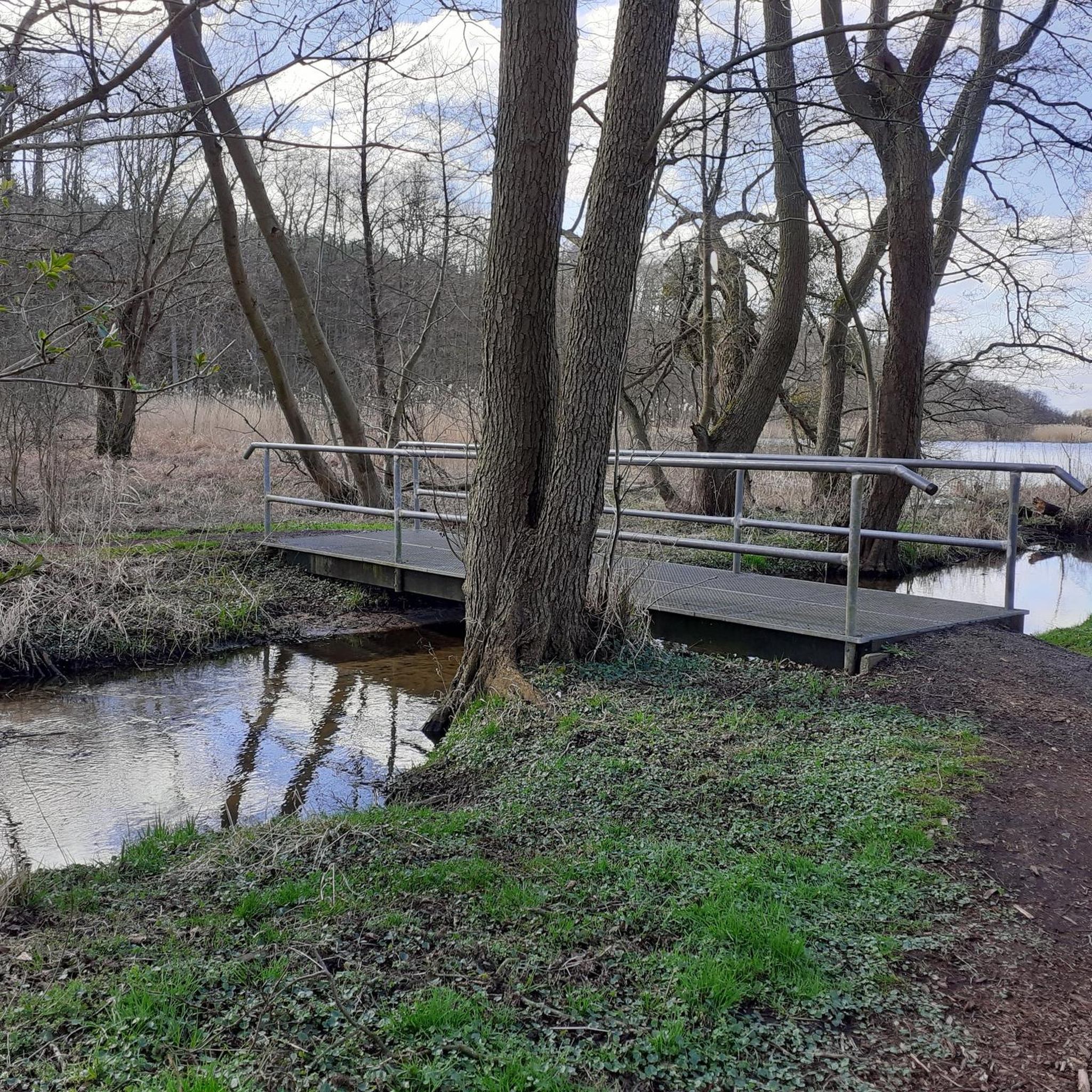
Gellin(Ramin 지자체)에서 남쪽으로 약 500m 떨어진 곳에서 발원하여 Löcknitz에서 남동쪽으로 약 2km 떨어진 Löcknitzer See로 흘러 들어갑니다.
0
0
이 장소와 호수는 슬라브어 뿌리를 가지고 있습니다(이름은 대략 '구덩이 저지대/늪 구멍'을 의미합니다). 석기 시대부터 사람이 거주했으며, 나중에 이 지역에 성과 전투가 있었습니다. 30년 전쟁 동안 심하게 파괴되었습니다. 오늘날 호숫가의 조용한 오아시스입니다. 이 호수는 자연, 수영, 하이킹, 약간의 역사를 좋아하는 모든 사람들에게 진정한 숨겨진 보석입니다. 붐비지 않고 풍경이 매우 매력적입니다. 당일 여행에 이상적입니다!
0
0
야외 수영장, 보트 대여, 다이빙 타워가 있는 정말 아름다운 수영 호수입니다. 여름에는 붐비는 발트해 해변을 원하지 않는 모든 사람들에게 핫플레이스입니다. 바로 옆에는 „Haus am See“ 호텔이 있습니다. 저녁에 베란다에 앉아 맥주를 마시며 모기가 물어뜯는 것을 구경하기에 완벽합니다.
0
0


Here in front of the Löcknitz-Penkun office there is a bronze statue of the former night watchman Bartel, who was on duty here with his cat over 100 years ago. In my opinion, the area around the statues could have been designed a little more beautifully. As it is, they are standing more or less directly at the crossroads!
2
0

Monument to the soldiers from Locknitz who died in World War I. The four-sided obelisk lists the names of all 79 soldiers, and on each side of the obelisk there is the inscription "They died for their homeland."
2
0
플로웬 주변에서 가장 인기 있는 명소


더 살펴보기
다른 지역의 최고의 하이킹를 살펴보세요.
