아펜니노 루카노 - 발 다그리 - 라고네그레스 국립공원 최고의 라이딩 경로
4.7
(177)
3,568
자전거 타는 사람
37
라이딩
아펜니노 루카노 - 발 다그리 - 라고네그레스 국립공원 최고의 로드 사이클링 경로를 찾으시나요? 그렇다면 아름다운 포텐자 자연공원 주변의 라이딩 컬렉션을 아래에서 살펴본 후, 아펜니노 루카노 - 발 다그리 - 라고네그레스 국립공원의 여러 가지 모습을 직접 만나보세요.
마지막 업데이트: 10월 25, 2026
4
자전거 타는 사람
54.8km
02:49
810m
810m
보통 도로 자전거 타기. 좋은 체력 필요. 지면 대부분이 잘 포장되어 있고 라이딩하기 쉬움.
5.0
(1)
30
자전거 타는 사람
62.0km
02:51
640m
630m
보통 도로 자전거 타기. 좋은 체력 필요. 지면 대부분이 잘 포장되어 있고 라이딩하기 쉬움.

25
자전거 타는 사람
78.4km
03:49
1,090m
1,090m
어려운 도로 자전거 타기. 우수한 체력 필요. 지면 대부분이 잘 포장되어 있고 라이딩하기 쉬움.
4.5
(2)
24
자전거 타는 사람
81.9km
04:37
1,410m
1,410m
어려운 도로 자전거 타기. 우수한 체력 필요. 투어 중 라이딩하기 어려운 비포장 구간이 있을 수 있음.
23
자전거 타는 사람
57.7km
02:45
660m
660m
보통 도로 자전거 타기. 좋은 체력 필요. 지면 대부분이 잘 포장되어 있고 라이딩하기 쉬움.
더 다양한 경로와 다른 탐험가들의 추천을 살펴보세요.
이미 komoot 계정이 있나요?
투어 추천은 다른 사람들이 komoot에서 완료한 수천 개의 활동을 바탕으로 구성되어 있습니다.
오늘 무료 계정으로 시작하세요
다음 모험이 기다리고 있어요.
아펜니노 루카노 - 발 다그리 - 라고네그레스 국립공원 주변 인기 장소
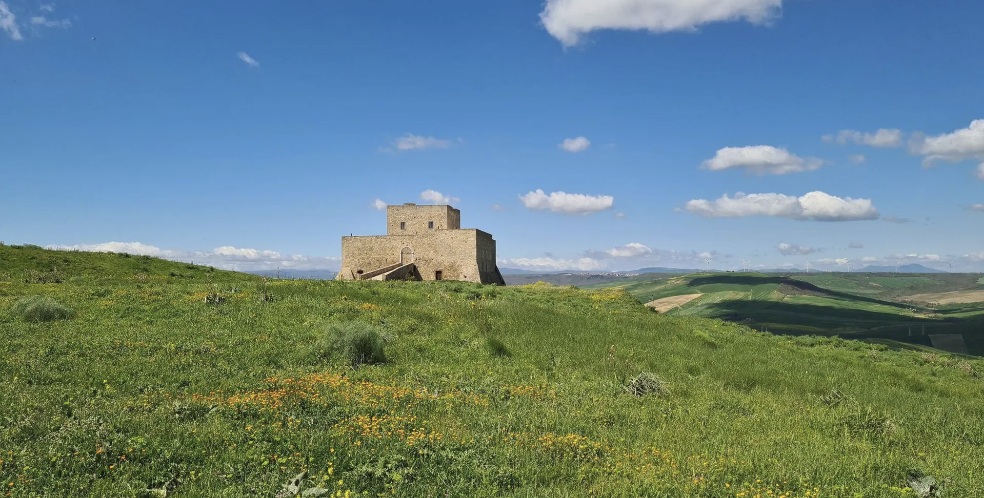
Basilicata by bike – discover itineraries in this unique land
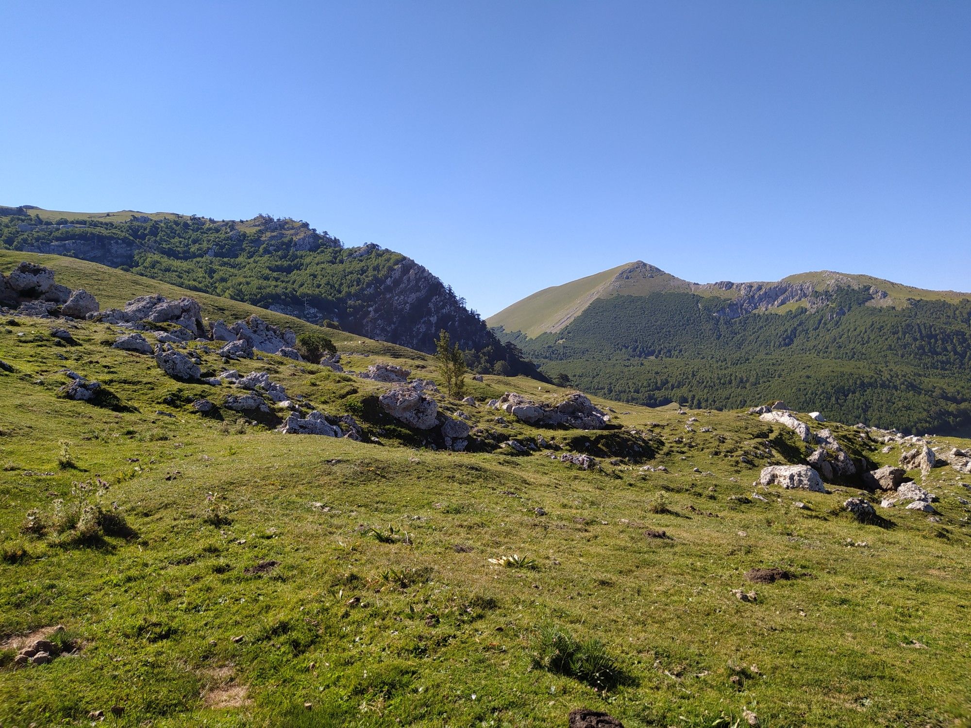
오래된 마을과 풍부한 숲 사이에서 – Sentiero Italia
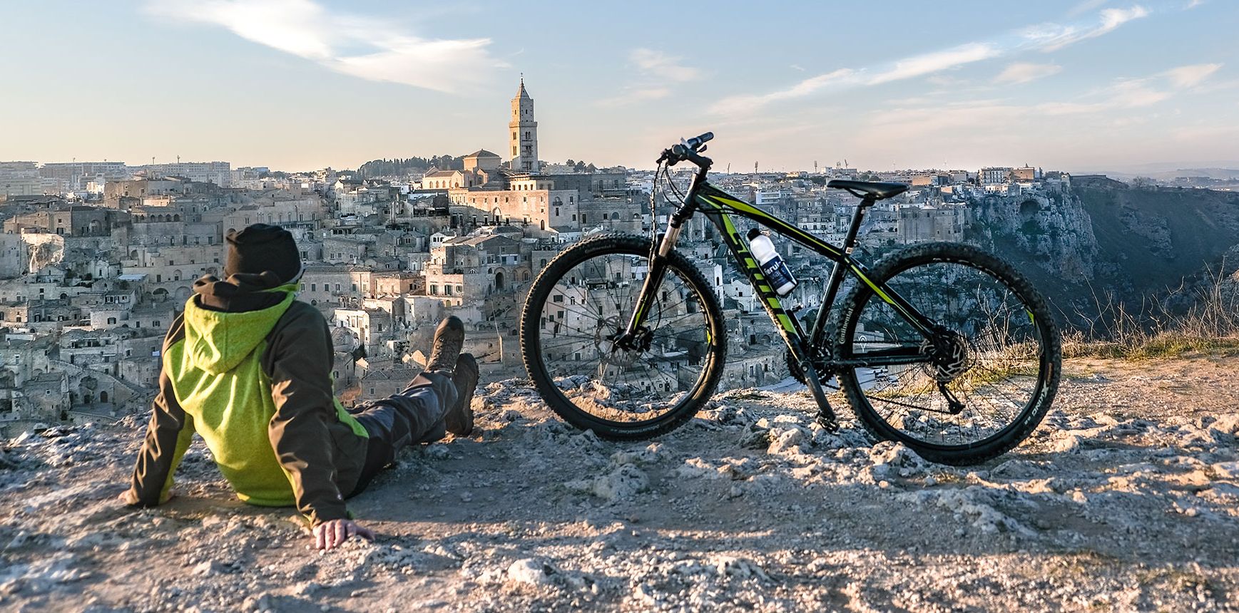
Between unspoilt nature and millenary history — Italy’s Basilicata by bike

아펜니노 루카노 - 발 다그리 - 라고네그레스 국립공원 하이킹
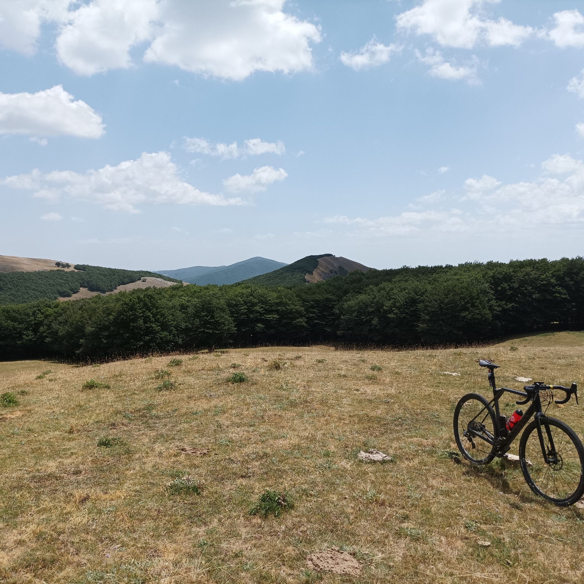
아펜니노 루카노 - 발 다그리 - 라고네그레스 국립공원 MTB 트레일
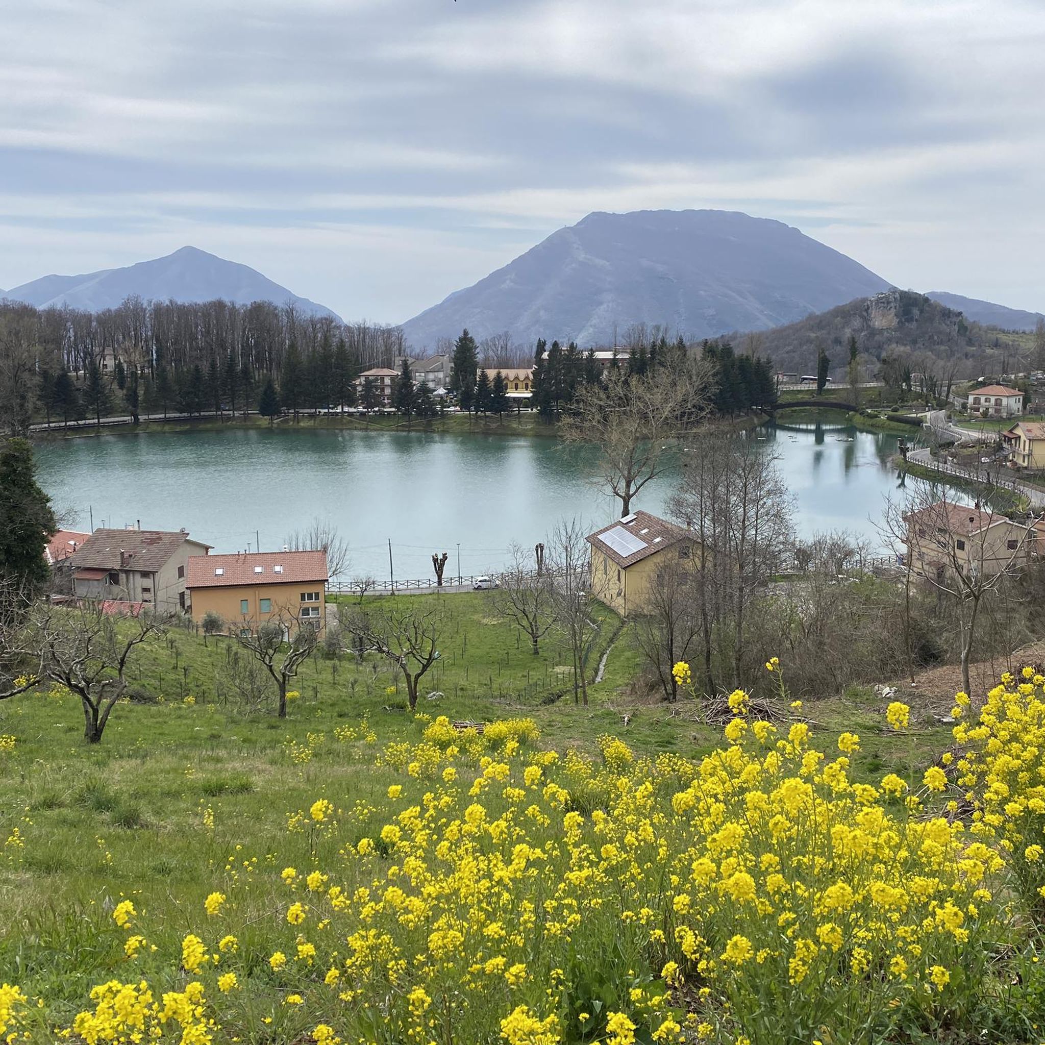
아펜니노 루카노 - 발 다그리 - 라고네그레스 국립공원 사이클링
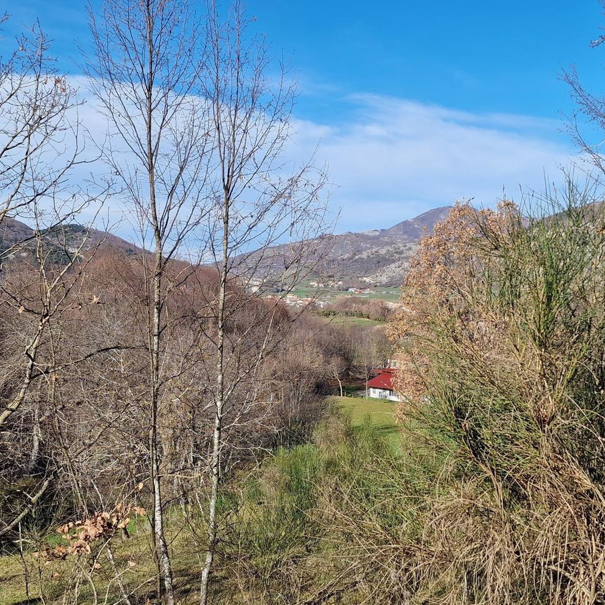
아펜니노 루카노 - 발 다그리 - 라고네그레스 국립공원 러닝 트레일

아펜니노 루카노 - 발 다그리 - 라고네그레스 국립공원 주변 그래블 라이딩


커뮤니티 팁

The Grumentum Archaeological Park preserves, within an exceptionally suggestive landscape, the remains of one of the major Roman cities of Regio III: Lucania et Bruttii. Initially a small Lucanian center allied with Rome, settled since the beginning of the 3rd century BC, it was crossed by Hannibal during the Second Punic War, when he took the side of the Carthaginians, and was the scene of a battle narrated by Livy. Following a slow process of Romanization, which provided for land assignments to the Romans through the centuriation system, the center was monumentalized starting from the middle of the 1st century BC, when it was refounded as a Roman colony. From this period onwards, it was equipped with all the typical monuments of Roman cities, in imitation of the Urbe. Today the site, a unique example in Basilicata of a Roman urban plan that is clearly legible as a whole, allows a visit through the public and private spaces of the Roman city, still delineated by the regularity of the ancient road axes. From the theater you can reach the Italic temple, the domus with mosaics and, along the paving of the main plateia, the area of the Forum with public, civil and religious buildings (Capitolium, Augusteo, Porticus, Curia, Basilica, Forensic Baths). The route then continues to the Terme Maggiori, an extraordinarily preserved thermal complex, rich in luxurious decorative apparatus (mosaics, imported marbles...), to the Basilica of Santa Maria Assunta, which represents the first cathedral when the center became the seat of a bishop. The route ends near the monumental amphitheater, one of the oldest masonry amphitheaters known to us. Strategically positioned on the eastern edge of the hill, it is located overlooking the Pietra del Pertusillo Lake, in the heart of the Appennino Lucano National Park. A visit to Grumentum allows you to fully appreciate the close relationship between archaeology and nature, between landscape and culture. Source Ministry of Culture Discover all our routes on www.viaggiatorelento.com
0
0

Archaeological area of the ancient Roman Grumentum.
0
0
Beautiful little village perched on the mountain slope.
0
0
An interesting little lake to reach by Mtb, a stop on its banks is highly recommended.
0
0
At this point you can find a small bench where you can take a break next to the river, always remembering respect for nature.
1
0
In Agumentum it is possible to find an archaeological park of ancient Roman origin, this is the theatre.
2
0

It is a beautiful village located in the Aappennino Llucano national park and located more than 1000 meters above sea level. Fun fact: it is the second municipality in the region, after Pietrapertosa, by altitude.
1
0
Village perched at 600 m a.s.l. which has less than a thousand inhabitants located between the sites of community interest of Lake Pertusillo and Monte Raparo.
1
0
아펜니노 루카노 - 발 다그리 - 라고네그레스 국립공원 주변에서 가장 인기 있는 경로
아펜니노 루카노 - 발 다그리 - 라고네그레스 국립공원 주변에서 가장 인기 있는 명소


더 살펴보기
다른 지역의 최고의 로드 사이클링 경로를 살펴보세요.
