포멜스브룬 최고의 MTB 라이딩 경로
4.8
(91)
375
자전거 타는 사람
61
라이딩
포멜스브룬에 있는 멋진 산악자전거 라이딩 경로를 따라 어디로 가 볼까요? 포멜스브룬에 있는 MTB 경로 컬렉션 중에서 가장 멋진 장소를 아래에서 살펴보세요.
마지막 업데이트: 10월 14, 2026
4.8
(5)
45
자전거 타는 사람
111km
07:55
1,350m
1,360m
어려운 산악 자전거 타기. 우수한 체력 필요. 뛰어난 라이딩 실력이 필요함.
4.0
(1)
8
자전거 타는 사람
26.6km
02:58
890m
890m
보통 산악 자전거 타기. 좋은 체력 필요. 뛰어난 라이딩 실력이 필요함.

5.0
(5)
13
자전거 타는 사람
27.6km
02:54
780m
780m
보통 산악 자전거 타기. 좋은 체력 필요. 뛰어난 라이딩 실력이 필요함.
5.0
(3)
14
자전거 타는 사람
43.9km
03:37
770m
770m
어려운 산악 자전거 타기. 좋은 체력 필요. 뛰어난 라이딩 실력이 필요함. 투어 중 자전거를 끌고 가야 하는 구간이 있을 수 있음.
4.4
(9)
19
자전거 타는 사람
19.2km
01:24
210m
200m
초급용 산악자전거 라이딩. 모든 체력 수준에 적합. 실력과 관계없이 누구나 갈 수 있음.
더 다양한 경로와 다른 탐험가들의 추천을 살펴보세요.
이미 komoot 계정이 있나요?
투어 추천은 다른 사람들이 komoot에서 완료한 수천 개의 활동을 바탕으로 구성되어 있습니다.
오늘 무료 계정으로 시작하세요
다음 모험이 기다리고 있어요.
포멜스브룬 주변 인기 장소
Silent forests & lonely paths — Franconian Jura Panorama Trail in Germany
Discover a hiker’s paradise – hiking loops in the Nuremberg region
Cycling to the Hop Weeks in the Nuremberg Region
High up on the SevenSummits in the Nuremberg region
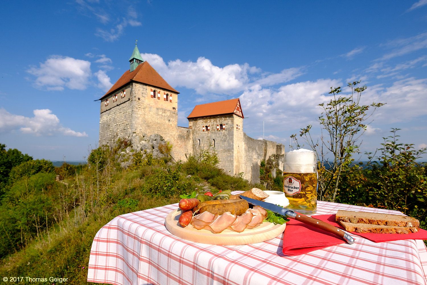
Culinary cycling Tours in the heart of the Franconian Alb mountains
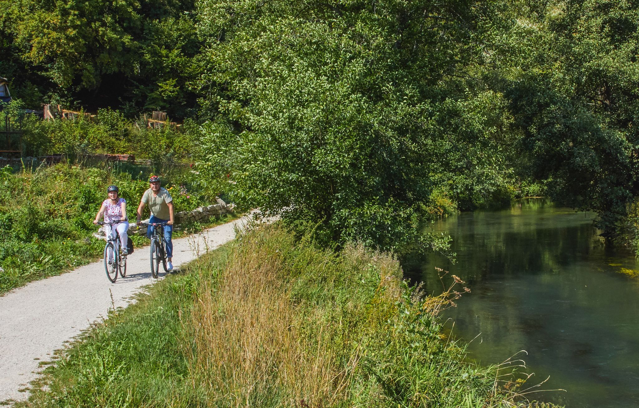
Rivers, forests, ancient castles - cycling in Nürnberger Land
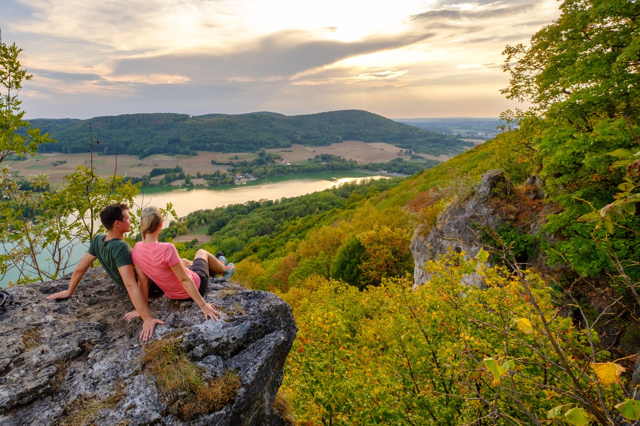
Hiking in the Nürnberger Land
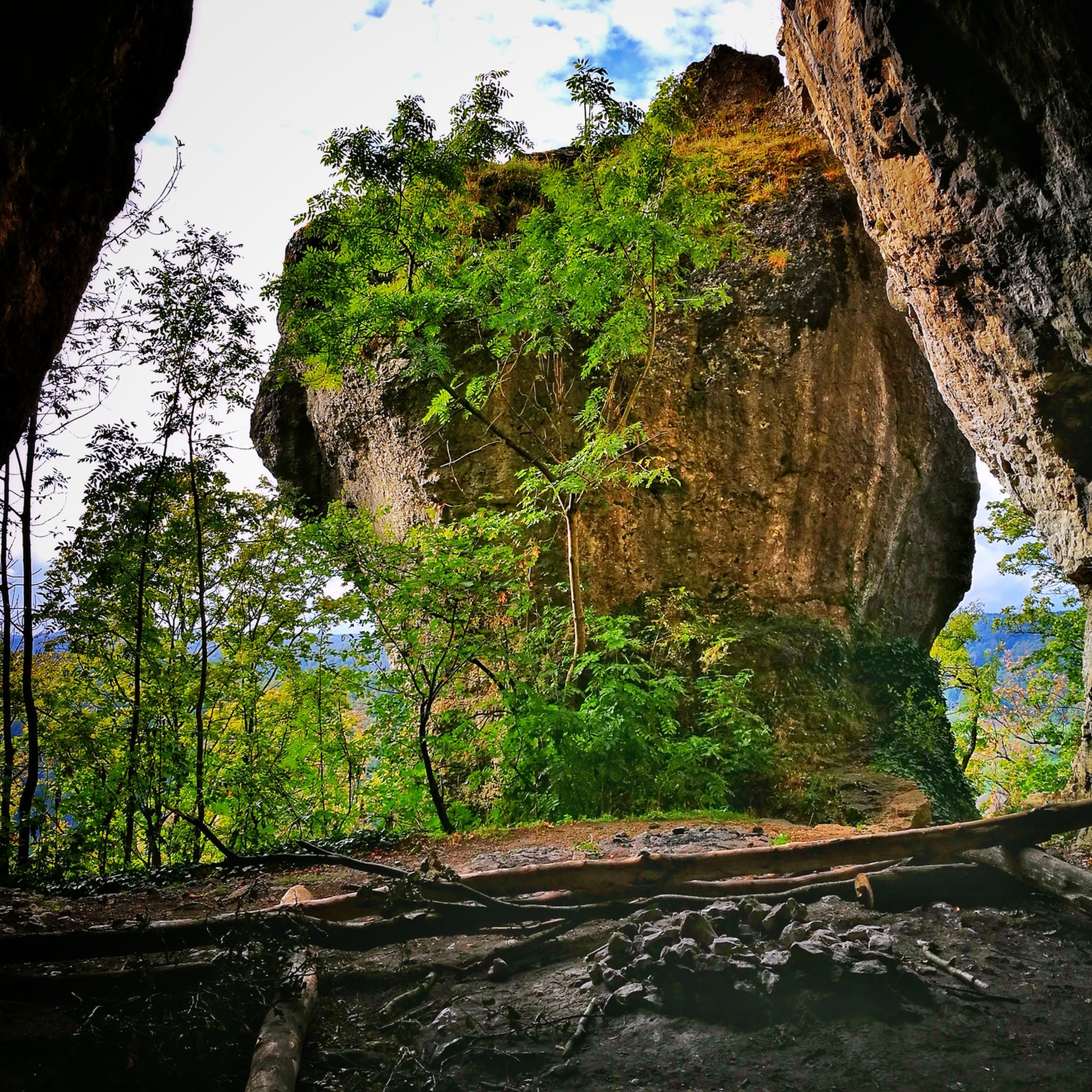
포멜스브룬 하이킹
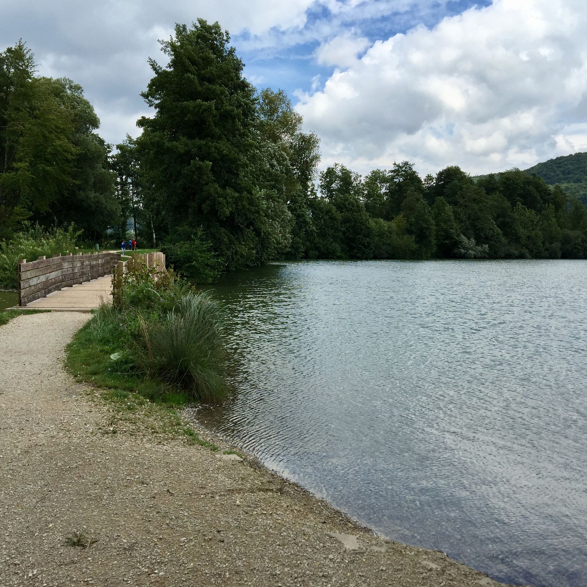
포멜스브룬 사이클링
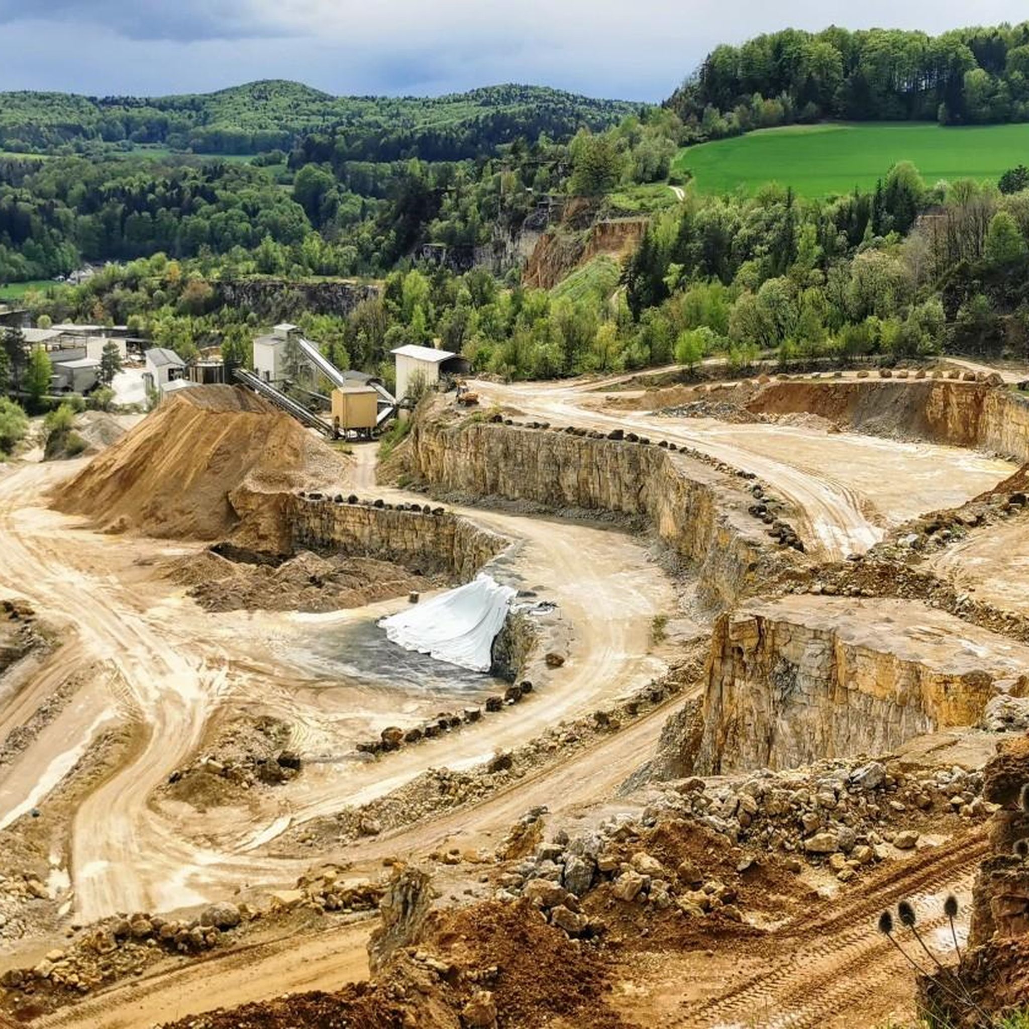
포멜스브룬 러닝 트레일

커뮤니티 팁

Very beautiful, varied and easy route with little elevation gain.
0
0

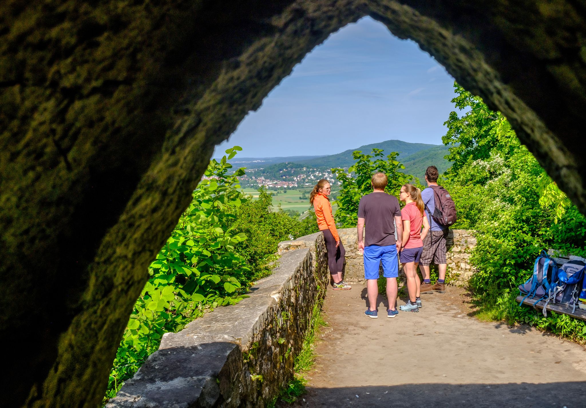
Beautiful "tree gate" that leads directly into the beautiful Pegnitz valley
0
0

Very interesting formations, small rock stands on large
0
0

Poppberg Castle Ruins It is difficult to determine from the sources when the castle was built. It is particularly unclear whether the mentioned castles and lords of the "Puchberg," "Puckberg," or "Pocksberg" are identical with the Poppbergs. A coat of arms of the "Pocksberg" appears in the Kastl monastery church in the row of founders' coats of arms on the south side of the nave. It can be assumed that the castle was founded to control the "high road" from Prague to Nuremberg, perhaps even under the Counts of Sulzbach, who ruled until 1188. In any case, the village of Poppberg is mentioned as belonging to the Fürnried parish as early as 1139. However, the castle's existing buildings show no signs of such an early foundation; they are more consistent with the period after 1300, when tower-like residential buildings became fashionable. The first truly confirmed reference to the castle appears in 1373, when the so-called New Bohemian Lands of Emperor Charles IV passed into the hands of the Bavarian duke. Poppberg was part of this Bohemian territory on Upper Palatinate soil, founded by Charles in 1353, but dissolved after his death. The Bavarian dukes pawned the castle to their Palatinate relatives in 1395, but redeemed the pledge in 1451. What seems odd is that two years later the castle is described as "deserted and desolate," meaning it was already abandoned. In 1505, after the Landshut War of Succession, Poppberg passed to the Duchy of Palatinate-Sulzbach, and in 1791 to Bavaria, but remained abandoned and fell into disrepair until the present day. The entrance to the castle is protected by a narrow tower on a pointed rock formation that forms the highest point of the castle. The upper part of the tower is occupied by a recently built, concreted shelter, which served as an air observation post during World War II. A circular wall adjoins the rock formation, forming a clearly visible edge of the terrain and extending extensively around the entire area. Traces of soil near the entrance suggest several utility buildings. The most impressive part of Poppberg is the residential building, a typical late medieval mixture of residential tower and palace dating from after 1300. The lower floor of the building probably served as a pantry and kitchen. The second floor is much more residential, with larger windows and two large entrances leading to the former battlements on either side. A third floor is suspected. Source: www.burgenseite.de
5
0
Reservoir is always good, best to avoid in good weather, unfortunately it is completely overcrowded
1
0

From Happurg train station via Hersbruck to Lauf and back to the Happurg bathing lake (reservoir). With a coffee break in Lauf and a beer at the bathing lake restaurant. Highly recommended. Have fun.
0
0

Beautiful stretches in a truly idyllic landscape
1
0
Always a great experience
0
0


더 살펴보기
다른 지역의 최고의 MTB 트레일를 살펴보세요.
