경로플래너기능업데이트
App
로그인 또는 가입
앱 다운로드
로그인 또는 가입
경로
Places to see
색슨 엘블랜드

브레트뮐렌타이히

6의 브레트뮐렌타이히가지 명소 & 주요 장소


브레트뮐렌타이히에는 둘러볼 만한 장소가 많답니다. 하이킹 또는 사이클링을 좋아한다면 브레트뮐렌타이히에 숨겨진 6
가지 보석을 만날 수 있을 거예요. 이 지역의 주요 명소를 살펴보면서 다음 모험을 계획해보세요.

마지막 업데이트: 10월 16, 2026

브렛뮐렌타이히

하이라이트 • 호수

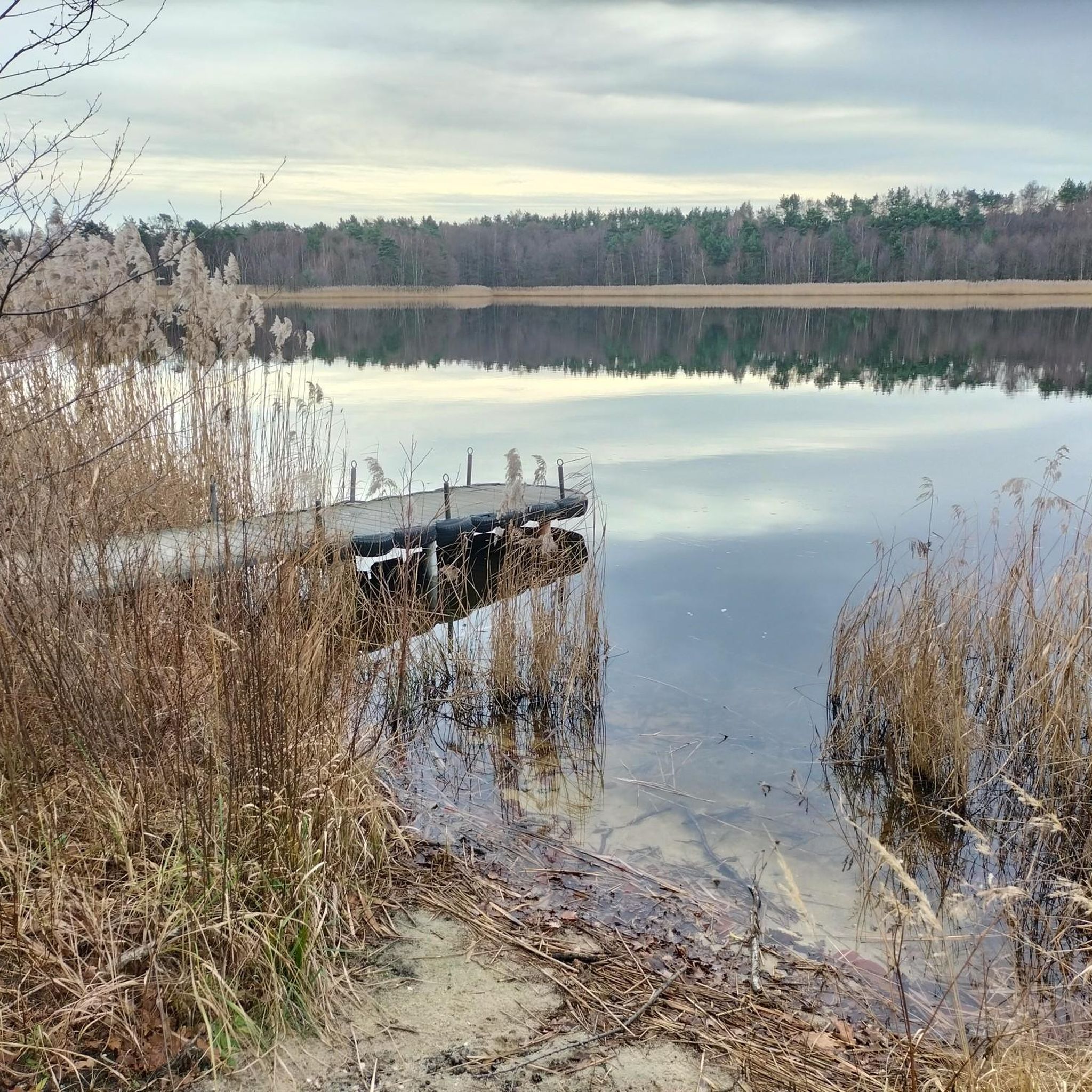
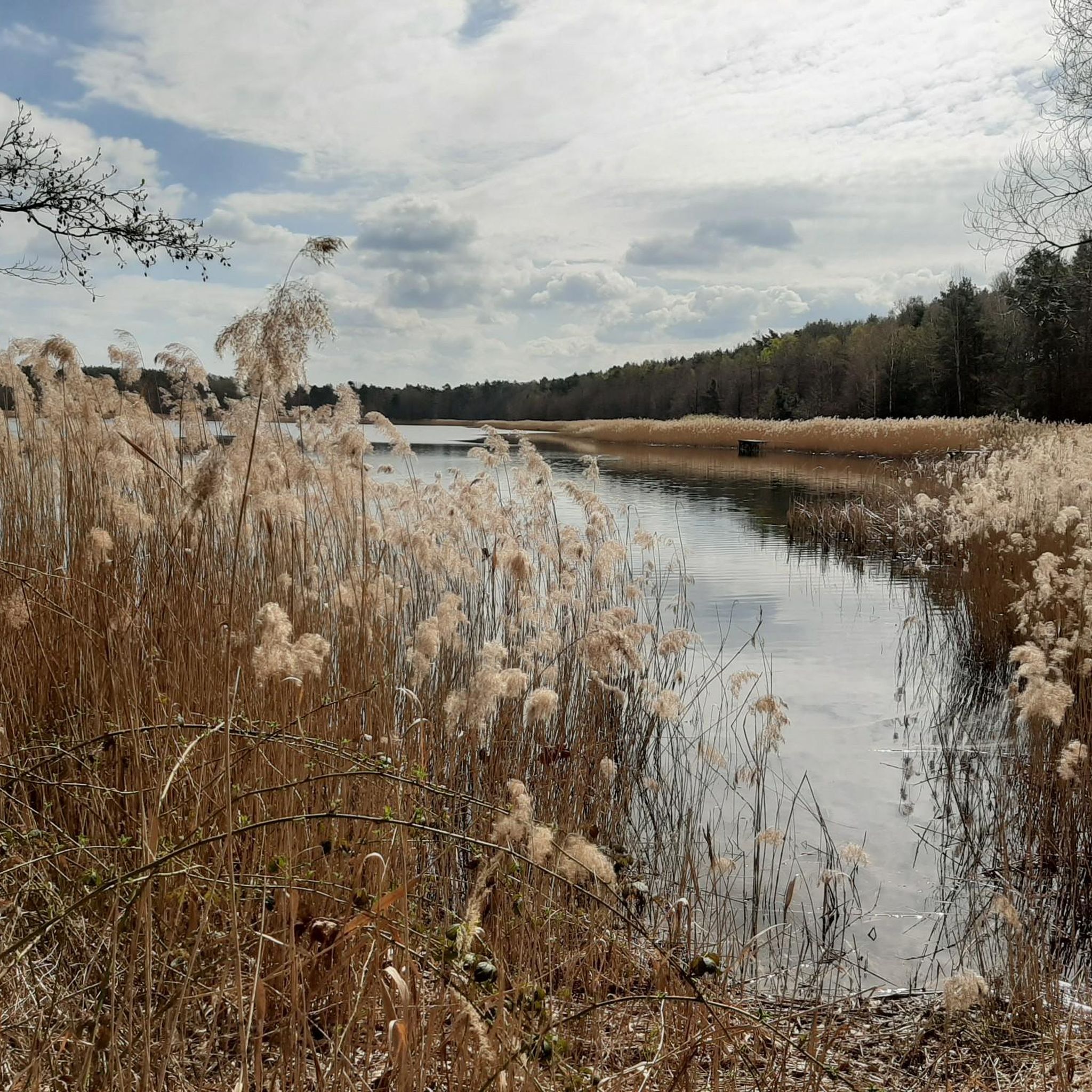
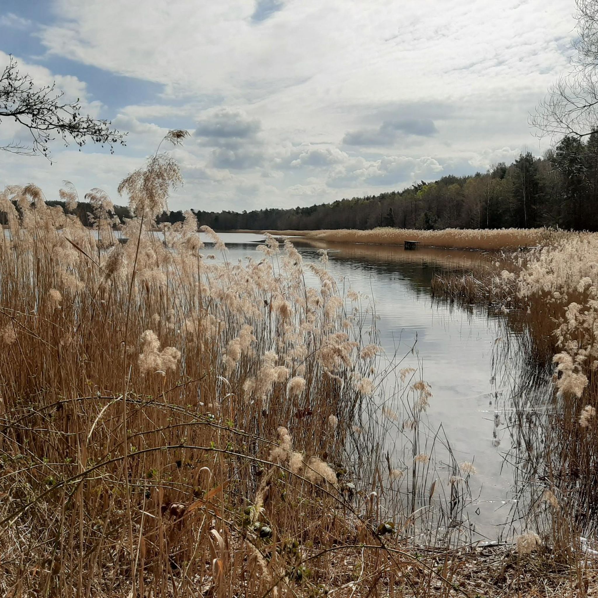
"The Brettmühlenteich (also Brettmühlenteich Dobra, Brettmühlenteich Zschorna or Brettmühlenteich Tauscha) is a forest pond southeast of Zschorna in Saxony.

A 4.40 m high and 380 m long dam dams the …

번역자 Google •

팁에 의해

라이딩 보기휴대폰으로 전송
저장

비버 서식지

하이라이트 • 자연

Along the way you can often see trees that have been eaten and the occasional beaver migration.

번역자 Google •

팁에 의해

저장

이런 장소를 발견하려면 지금 가입하세요

최고의 싱글 트랙, 봉우리 및 다양한 흥미로운 야외 장소에 대한 추천을 받아보세요.

무료 회원 가입

다리와 함께하는 뿌리길

하이라이트 (구간) • 트레일

Nice root path to drive

번역자 Google •

팁에 의해

저장

개울 위 좁은 다리

하이라이트 • 다리

because you cannot swing over it but have to bend 90 degrees directly in front of it: be careful of wet feet

번역자 Google •

팁에 의해

저장

Brettmühlenteich의 수영장 전망

하이라이트 • 전망대

From this jetty you can see the bathing area with sandy beach on the other side of the Brettmühlenteich.

번역자 Google •

팁에 의해

저장

무료로 가입하여 브레트뮐렌타이히 주변의 더 많은 명소를 발견하세요.

무료 회원 가입

이미 komoot 계정이 있나요?

오늘 무료 계정으로 시작하세요

다음 모험이 기다리고 있어요.
로그인 또는 가입하기

브레트뮐렌타이히 주변 인기 장소

브레트뮐렌타이히 하이킹

브레트뮐렌타이히 사이클링

브레트뮐렌타이히 로드 사이클링 경로

브레트뮐렌타이히 러닝 트레일

브레트뮐렌타이히 MTB 트레일

브레트뮐렌타이히 주변 그래블 라이딩

커뮤니티 팁

Uli & Berli 🐕 sind unterwegs
9월 15, 2025, Beaver Habitat

Natural path - the beaver tracks are impossible to miss.

번역: Google•

0

0

Robsn
6월 17, 2025, Beaver Habitat

Along the way you can often see trees that have been eaten and the occasional beaver migration.

번역: Google•

1

0

Unfortunately, there are a lot of trees in the way at the moment, but I'm sure they will be removed soon.

번역: Google•

0

0

Unfortunately there are few single trails in this area. So you should definitely take this one. It is easy to ride in both directions. The greatest difficulty is crossing the two footbridges.

번역: Google•

0

0

From this jetty you can see the bathing area with sandy beach on the other side of the Brettmühlenteich.

번역: Google•

1

0

In the bosom of nature

번역: Google•

0

0

Gorgeous route

번역: Google•

0

0

Torsten
12월 22, 2022, Brettmühlenteich

"The Brettmühlenteich (also Brettmühlenteich Dobra, Brettmühlenteich Zschorna or Brettmühlenteich Tauscha) is a forest pond southeast of Zschorna in Saxony. A 4.40 m high and 380 m long dam dams the 14.5 hectare Brettmühlenteich, fed by the Grundbach and Springbach streams, in the catchment area of the Radeburg II reservoir. The local recreation center "Brettmühlenteich" is located on the banks of this forest pond. The fenced complex with its campsite and a very popular sandy beach, boat rental and dining facilities were managed by the Thiendorf municipality until 2016 and have been in private hands since then." - https://de.wikipedia.org/wiki/Brettm%C3% BChlenteich_Dobra

번역: Google•

0

0

브레트뮐렌타이히 주변에서 가장 인기 있는 경로

브레트뮐렌타이히 가족 하이킹

브레트뮐렌타이히 주변에서 가장 인기 있는 명소

Lakes

Store rating

komoot 모바일 앱으로 영감을 받아보세요

무료 komoot 계정로 끝없는 야외 모험을 손쉽게 찾고, 맞춤 설정하며 길안내할 수 있어요.

또는

지금 komoot에 가입하세요
Store rating

더 살펴보기

찾고 있는 하이라이트를 아직 못 찾으셨나요? 다른 지역의 주요 명소 가이드를 확인해보세요:

라데블모리츠부르크라데부르크클립파우젠니데라우바인볼라코스위그마이센에베르스바흐캅슈츠탈롬마츠프리에스테비츠티엔도르프디에라-제렌노센Historische Weinberglandschaft Radebeul그로센하인람페르츠발데뉘크리츠허쉬슈타인리에사글라우비츠슈타우치츠자이타인뢰데라우에그뢰디츠Wülknitz스트렐라프리드발트Zschornaer TeichgebietLandschaftsschutzgebiet NassauGohrischheide und Elbniederterrasse ZeithainFrauenteich Moritzburg디펠스도르퍼 타이히

근처 어드벤처 가이드

Zschornaer Teichgebiet 즐길거리

background

새로운 정복을 위한 준비를 하세요

무료로 가입하기
탐험하기
경로경로 플래너기능바우처 사용하이킹MTB 트레일로드 사이클링 경로바이크패킹사이트맵
앱 다운로드
소셜 미디어에서 팔로우하기

© komoot GmbH

개인 정보 보호 정책