메켄하임 최고의 워킹 & 하이킹 경로
4.5
(29739)
124,300
등산객
191
하이킹
Komoot에 등록된 메켄하임 내 트레일 및 경로 컬렉션 중에서 하이킹과 워킹을 가장 멋지게 즐길 수 있는 곳을 알려드릴게요. 아래에서 각 경로의 상세 정보를 모두 확인한 후, 메켄하임 속 자연에서 즐거운 시간을 누려보세요.
마지막 업데이트: 9월 30, 2026
4.3
(43)
145
등산객
4.43km
01:08
20m
20m
초급용 하이킹. 모든 체력 수준에 적합. 실력과 관계없이 누구나 쉽게 갈 수 있는 길.
4.6
(17)
149
등산객
5.06km
01:19
30m
30m
초급용 하이킹. 모든 체력 수준에 적합. 실력과 관계없이 누구나 쉽게 갈 수 있는 길.

4.9
(19)
68
등산객
14.5km
03:56
190m
190m
보통 하이킹. 좋은 체력 필요. 실력과 관계없이 누구나 쉽게 갈 수 있는 길.
4.6
(12)
54
등산객
4.54km
01:12
40m
40m
초급용 하이킹. 모든 체력 수준에 적합. 실력과 관계없이 누구나 쉽게 갈 수 있는 길.
4.7
(9)
57
등산객
보통 하이킹. 좋은 체력 필요. 실력과 관계없이 누구나 쉽게 갈 수 있는 길.
더 다양한 경로와 다른 탐험가들의 추천을 살펴보세요.
이미 komoot 계정이 있나요?
투어 추천은 다른 사람들이 komoot에서 완료한 수천 개의 활동을 바탕으로 구성되어 있습니다.


커뮤니티 팁

„모든 것은 얻어져야 한다, 걷거나 다른 곳에서나 마찬가지인 것 같다. (…) 풍경이 나쁜 책처럼 중간 페이지를 건너뛰어도 결말을 이해할 수 있는 것이 아니기 때문이기도 하다. 아니, 그 조용한 전환을 함께 해야 한다. 풍경도 모든 것을 용납하지 않기 때문이다. 사람처럼 그들은 누구나 볼 수 있는 얼굴, 외적이고 무관심한 얼굴을 가지고 있으며, 그들과 대화할 때 비로소 따뜻하고 내면적인 삶, 아름다운 비밀인 그 얼굴이 드러난다.“ (Max Frisch: „Vom Wandern“)
0
0
멀리서도 길 교차로에 홀로 서 있는 이 나무는 다가오는 (자전거) 여행객의 시선을 사로잡습니다. 수양버들의 늘어진 가지의 그늘 아래에는 휴식을 취하도록 유도하는 매력적인 벤치 또는 의자가 있습니다. 또한 이곳에는 길 교차로도 있습니다.
1
0

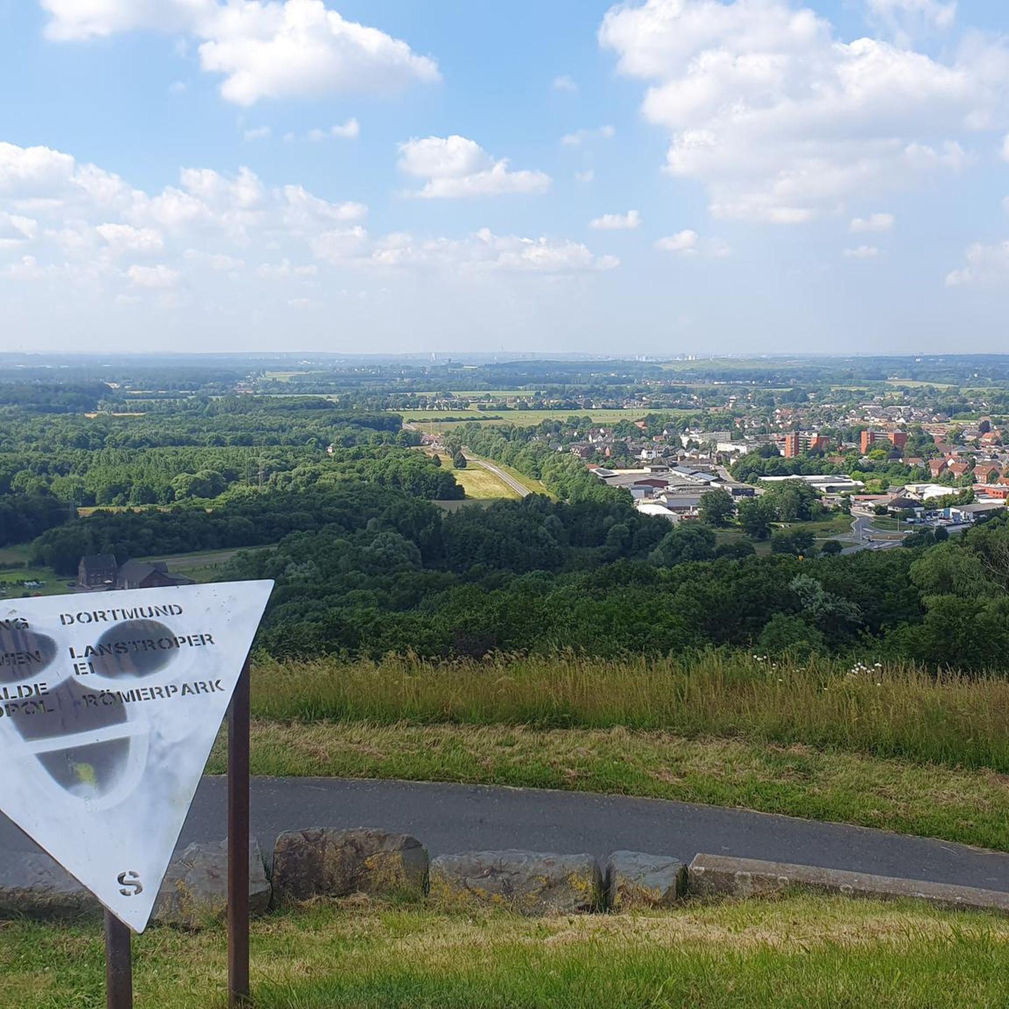
From and around the Tomburg: a magnificent view of a diverse settlement, culture, and landscape area, from the Ville and Börden landscape in the west, across the 'Middle Rhine Gate', where the Rhine Valley widens, to the Siebengebirge on the horizon, and further into the Wachtberg region with Landskron Castle in the south. 😎👌
0
0

Sit comfortably and enjoy the wonderful view.
0
0

This striking tree is a feast for the eyes
1
0
"The stream originates as the Gräbbach on the eastern outskirts of Todenfeld in the Voreifel region at an elevation of 357 m above sea level. From here, it flows predominantly northward. Shortly below the parking lot at the forest chapel, the stream divides into an eastern branch (Eulenbach) and a western branch (Gräbbach). The Cistercian monks of Himmerod probably had the branch dug in the 13th century to power mills with this water. After crossing the Rheinbach urban area, the two stream branches merge again in the northeastern section of the bypass road (Bundesstraße 266). From here, the stream is called Eulenbach. Before this, the western branch (Gräbbach) takes in the Stiefelsbach, which also flows northward, on the left bank of the city park on the southern outskirts of Rheinbach. After crossing under the Bundesstraße 266 and the Bundesautobahn 61, the stream flows The Eulenbach continues north and passes Ramershoven. A few hundred meters before its own confluence, the Eulenbach joins the Hochbach. The stream then flows into the Swist on the left bank at the southern edge of Morenhoven at 146 m above sea level. Before its confluence, the Eulenbach used to flow parallel to the Swist for about a kilometer further west, flowing only shortly before the Wallbach. The original course can be traced along the largely still existing streambed. As part of the implementation of the EU Water Framework Directive, numerous measures are to be taken with the aim of achieving a more natural design and natural development, especially along its course north of Rheinbach. South of Rheinbach, above and below the Waldkapelle (forest chapel), the stream feeds several ponds, such as the Alten Weiher (Old Ponds) and the Pilgerpfadsweiher (pilgrim's path ponds), which are of great importance for local recreation. However, the latter have been in poor condition for some time. This is due not only to dilapidated dams but also, above all, to the droughts of recent years and their associated droughts. Water shortages, silting, and silting up. However, remediation is proving difficult because, in addition to the remediation costs, the special protection status of the Rheinbach municipal forest as a Natura 2000 area under the European Fauna-Flora-Habitat (FFH) Directive must be taken into account. https://de.wikipedia.org/wiki/Eulenbach_(Swist)
4
0

메켄하임 주변에서 가장 인기 있는 명소


더 살펴보기
다른 지역의 최고의 하이킹를 살펴보세요.
