묀스하임 최고의 워킹 & 하이킹 경로
4.7
(250)
989
등산객
46
하이킹
정확한 경로를 찾는 것이 때로는 어렵지만 묀스하임에서 하이킹을 하면 다양한 경치를 마음껏 감상할 수 있답니다. 묀스하임에서 가장 멋진 하이킹과 워킹 중에서 마음에 드는 활동을 시작해보세요.
마지막 업데이트: 10월 7, 2026
4.8
(69)
257
등산객
11.4km
03:18
290m
280m
보통 하이킹. 좋은 체력 필요. 실력과 관계없이 누구나 쉽게 갈 수 있는 길.
4.5
(25)
120
등산객
5.46km
01:31
100m
100m
초급용 하이킹. 모든 체력 수준에 적합. 실력과 관계없이 누구나 쉽게 갈 수 있는 길.

4.6
(21)
86
등산객
8.20km
02:16
140m
140m
보통 하이킹. 좋은 체력 필요. 실력과 관계없이 누구나 쉽게 갈 수 있는 길.
4.6
(13)
59
등산객
7.92km
02:10
120m
120m
보통 하이킹. 좋은 체력 필요. 실력과 관계없이 누구나 쉽게 갈 수 있는 길.
5.0
(31)
36
등산객
4.85km
01:19
70m
70m
초급용 하이킹. 모든 체력 수준에 적합. 실력과 관계없이 누구나 쉽게 갈 수 있는 길.
더 다양한 경로와 다른 탐험가들의 추천을 살펴보세요.
이미 komoot 계정이 있나요?
투어 추천은 다른 사람들이 komoot에서 완료한 수천 개의 활동을 바탕으로 구성되어 있습니다.
오늘 무료 계정으로 시작하세요
다음 모험이 기다리고 있어요.
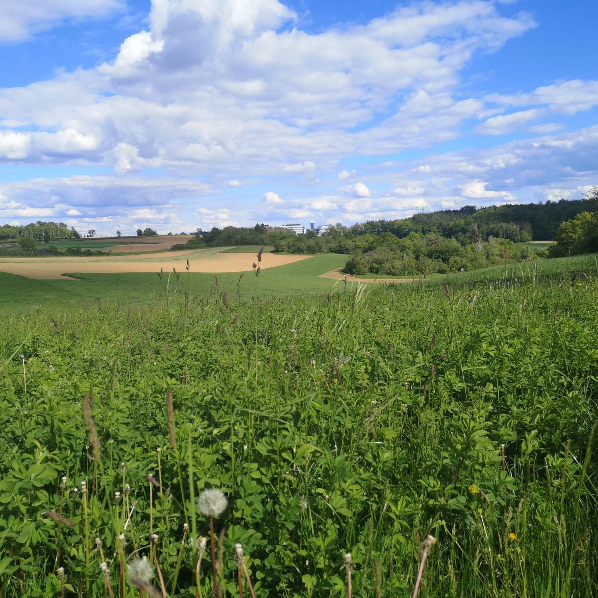
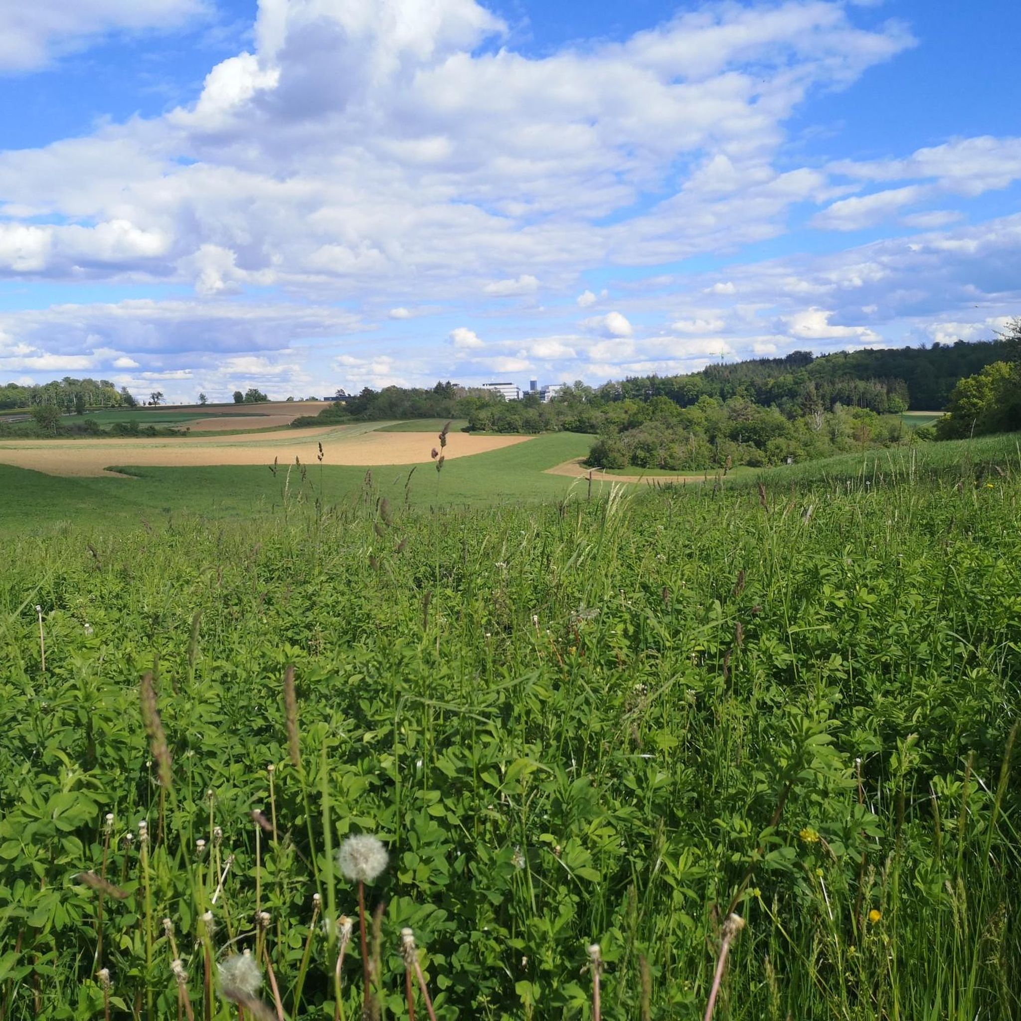
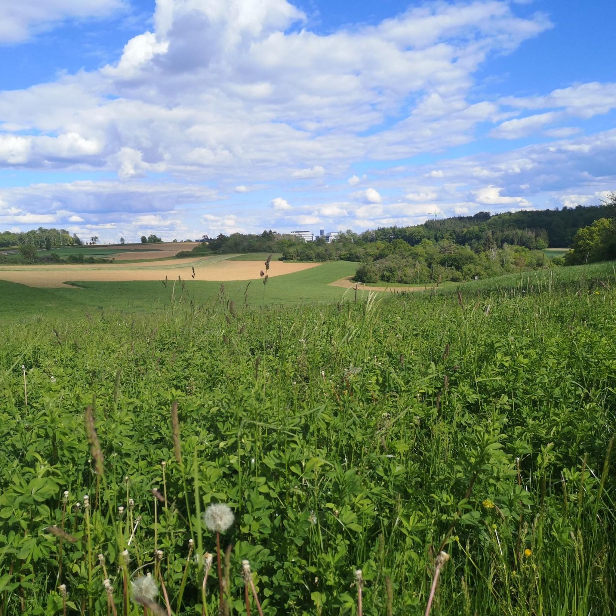
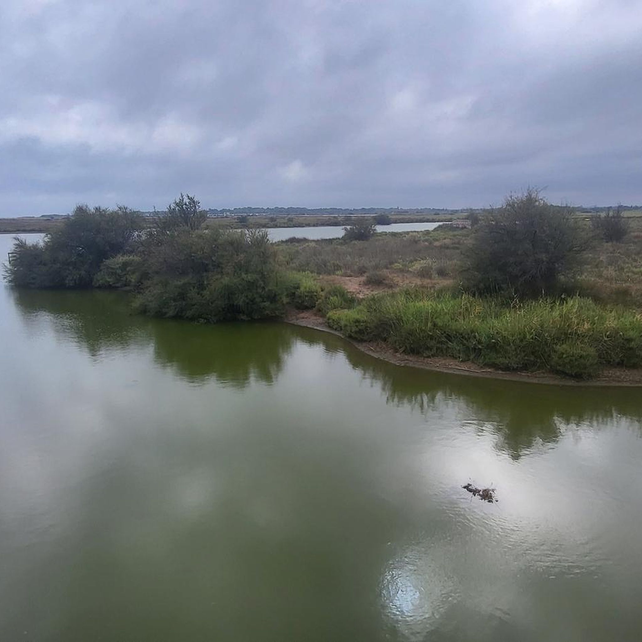
커뮤니티 팁

A sign here explains the Schanzgraben complex, which dates back to the 14th and 15th centuries and is the last remnant of the Württemberg border fortifications against the Margraviate of Baden.
6
0
Station 11 of the Wurmberg community's Gugg-a-mol Trail: Many years ago, the Wurmberg community created its first biotope on the municipal border of Mönshem and Wimsheim. Although the pond occasionally silts up, it still provides a natural habitat for various animals.
8
0
The Seeweg (Lake Trail) is a wide forest path that runs parallel to the Grenzbach stream and leads to Lake Paulinensee. A much more scenic alternative is the small forest path that runs on the other side of the Grenzbach stream.
6
0
A pleasant, narrow path that serves as a direct connection between Iptingen and Mönsheim. It passes former terraces and also includes a small steep section on the way to the Grenzbach stream.
6
0
Wide forest path that runs parallel to the Grenzbach stream and offers some beautiful views of the valley.
6
0

From what it looks like, the entire pool was covered with stainless steel
7
1
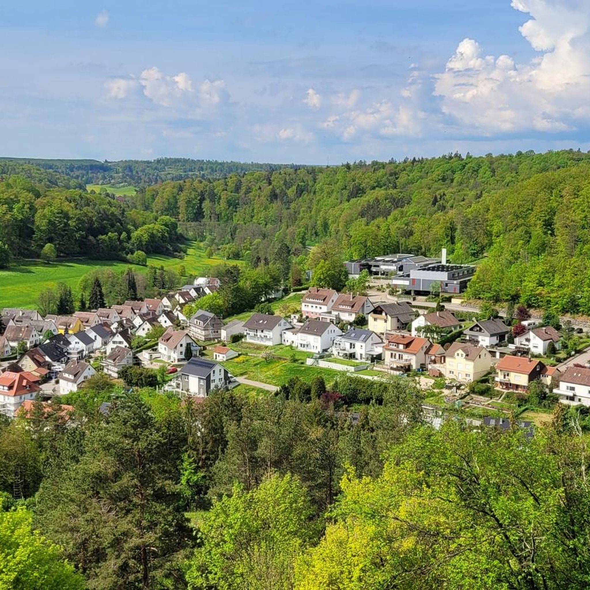
Beautiful view of Mönsheim from Buigen, including a seating area, summit book, and cross. The viewpoint is part of the Mönsheim Summit Tour.
7
0
The castle and the farm on the steep slope above the Grenzbach valley is probably a successor settlement to the village of Ütingen, which was only mentioned in 1379 and then abandoned. Until the late 15th century, there is evidence of a local lower nobility family "von Mönsheim" who were in the service of the Margraves of Baden, who themselves owned Untermönsheim as a fief of the Weissenburg monastery and the Diepoldsburg, named after its former owner Diepold von Bernhausen, which was destroyed during the Thirty Years' War in 1645. From the 14th century onwards, the County of Württemberg also acquired property, eventually owning most of the village, although it temporarily transferred it to Maulbronn monastery. Around 1500, Württemberg, which had since risen to the status of a duchy, was the sole local ruler and introduced the Reformation in the 16th century. Nevertheless, the Duke gave the Diepoldsburg castle to the community and in 1640 gave it as a fief to the Rüppurr family, who had been the fiefholders of Obermönsheim since 1584. Their heirs, the Phull von Rüppurr family (from 1781), retained local rights over Obermönsheim, which was part of the Wimsheim parish, until the mediatization at the beginning of the 19th century under Baden sovereignty. In 1806, the fiefdom passed from Baden to Württemberg. Mönsheim belonged to the Württemberg Amt, later Oberamt, and from 1938 to 1972 to the Leonberg district.
9
0


더 살펴보기
다른 지역의 최고의 하이킹를 살펴보세요.
