바덴뷔르템베르크 최고의 워킹 & 하이킹 경로
4.5
(5107)
23,985
등산객
128,044
하이킹
바덴뷔르템베르크에서 하이킹하며 독일 구석 부분까지 살펴볼까요? 바덴뷔르템베르크에 있는 모든 하이킹 및 워킹 경로 컬렉션 중 가장 멋진 하이킹 경로를 엄선하여 소개해드릴게요. 다른 하이커가 공유한 실제 팁과 사진을 살펴보고 후기를 읽으며 마음에 드는 바덴뷔르템베르크 워킹 경로를 찾아보세요.
마지막 업데이트: 10월 28, 2026
4.8
(3809)
13,293
등산객
12.5km
04:06
480m
480m
Moderate mountain hike. Solid fitness needed. Well-maintained trails. Steady footing essential. Starting location reachable via public transit.
4.8
(3941)
13,702
등산객
13.3km
04:19
500m
500m
보통 하이킹. 좋은 체력 필요. 대부분 걸을 수 있는 길. 안정적인 보행이 필요함.

4.8
(3904)
11,335
등산객
9.83km
03:01
210m
210m
어려운 하이킹. 좋은 체력 필요. 튼튼한 신발을 신고 미끄러지지 않게 조심해야 하며, 높은 산을 오른 경험이 있어야 함.
4.8
(2541)
8,919
등산객
12.8km
04:23
640m
640m
어려운 하이킹. 좋은 체력 필요. 튼튼한 신발을 신고 미끄러지지 않게 조심해야 하며, 높은 산을 오른 경험이 있어야 함.
4.8
(2390)
8,497
등산객
12.4km
04:24
620m
620m
어려운 하이킹. 좋은 체력 필요. 튼튼한 신발을 신고 미끄러지지 않게 조심해야 하며, 높은 산을 오른 경험이 있어야 함.
4.7
(2558)
8,569
등산객
13.2km
03:42
270m
280m
보통 하이킹. 좋은 체력 필요. 대부분 걸을 수 있는 길. 안정적인 보행이 필요함.
4.7
(2551)
8,559
등산객
13.0km
03:38
250m
250m
보통 하이킹. 좋은 체력 필요. 대부분 걸을 수 있는 길. 안정적인 보행이 필요함.
4.8
(2360)
7,899
등산객
9.95km
03:10
370m
370m
보통 하이킹. 좋은 체력 필요. 대부분 걸을 수 있는 길. 안정적인 보행이 필요함.
4.8
(1114)
3,481
등산객
10.4km
03:16
370m
370m
보통 하이킹. 좋은 체력 필요. 대부분 걸을 수 있는 길. 안정적인 보행이 필요함.
4.8
(1075)
3,808
등산객
16.1km
04:29
300m
300m
보통 하이킹. 좋은 체력 필요. 쉽게 걸을 수 있는 길.
더 다양한 경로와 다른 탐험가들의 추천을 살펴보세요.
이미 komoot 계정이 있나요?
투어 추천은 다른 사람들이 komoot에서 완료한 수천 개의 활동을 바탕으로 구성되어 있습니다.
오늘 무료 계정으로 시작하세요
다음 모험이 기다리고 있어요.


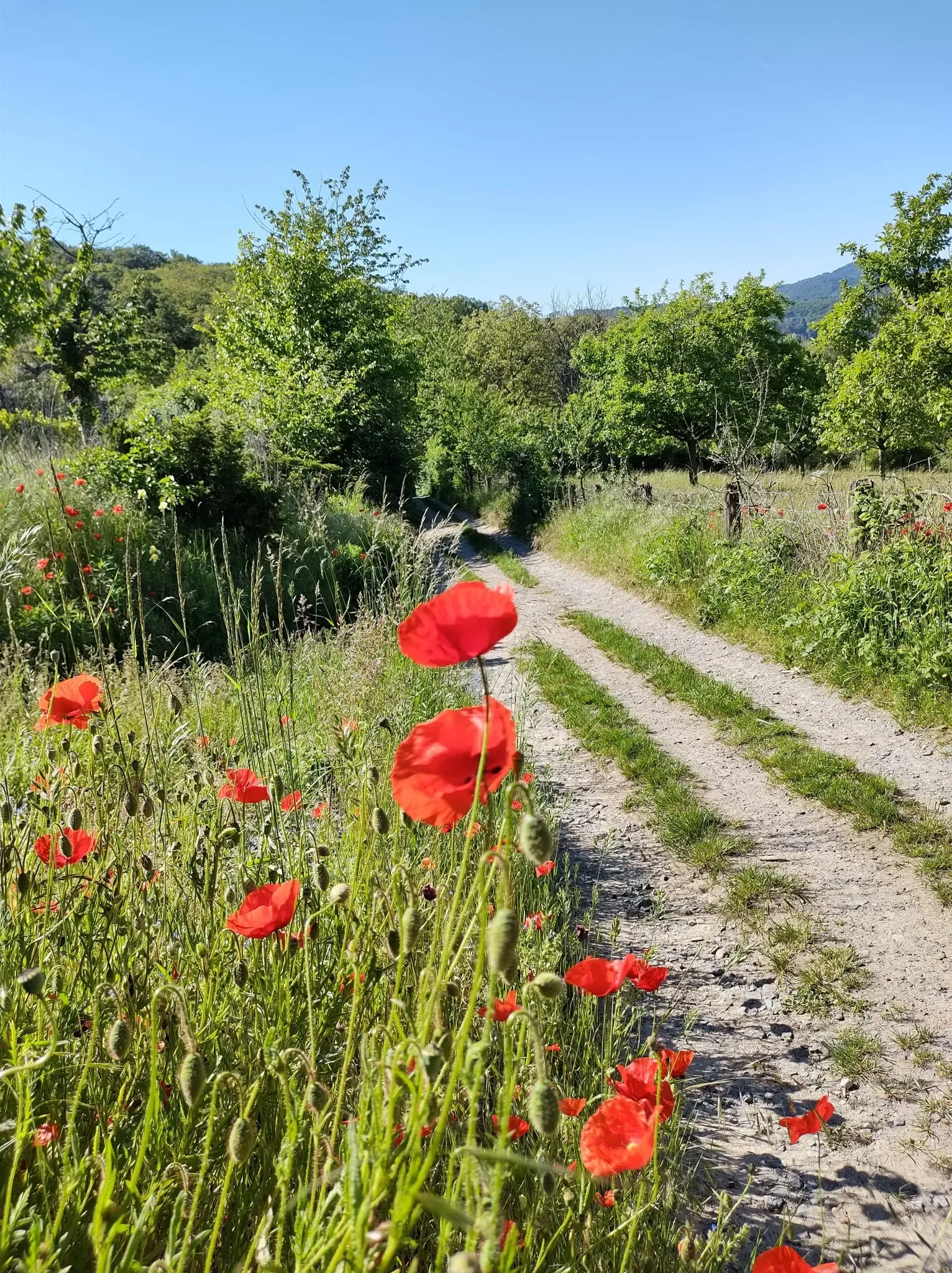
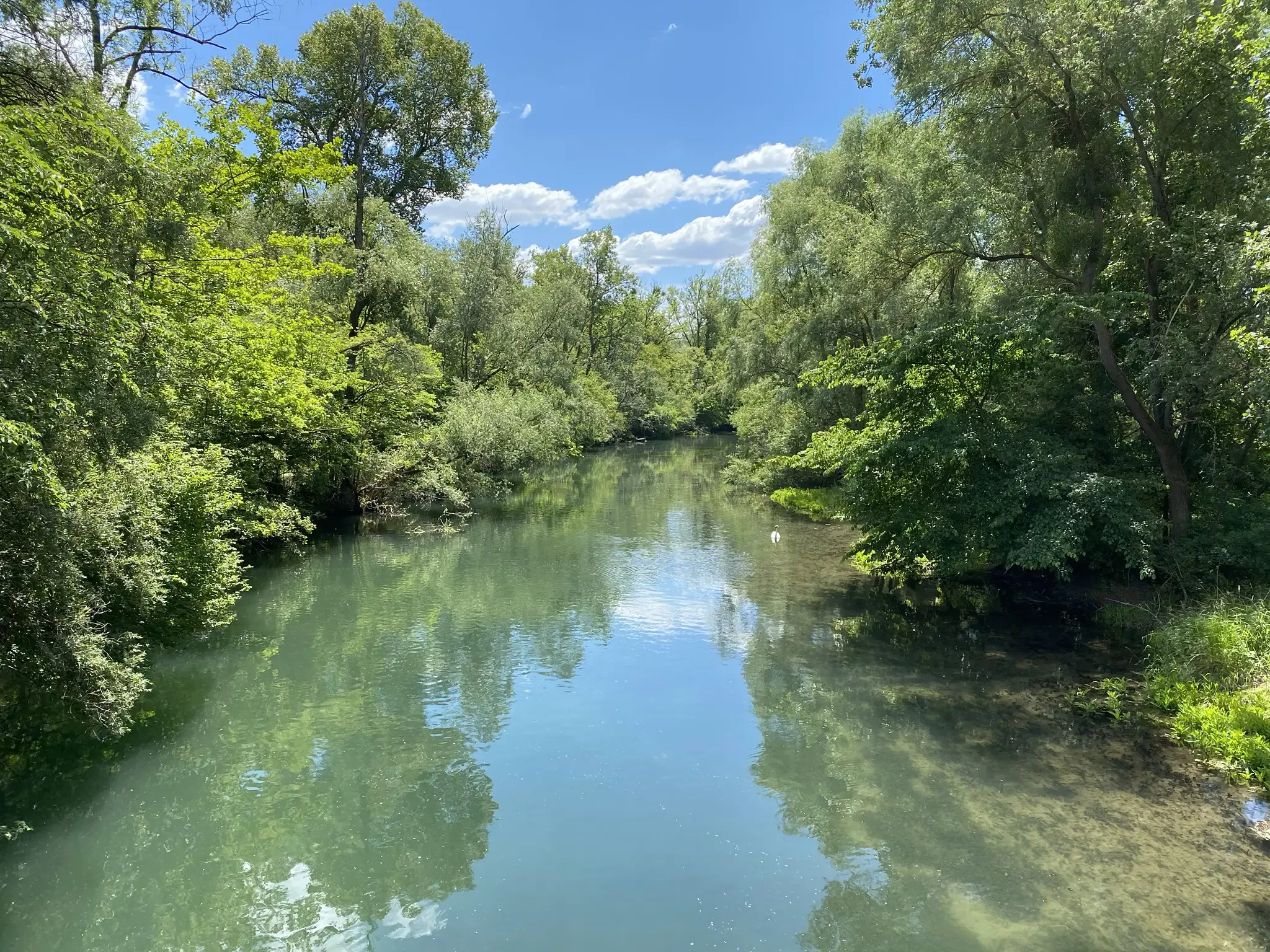
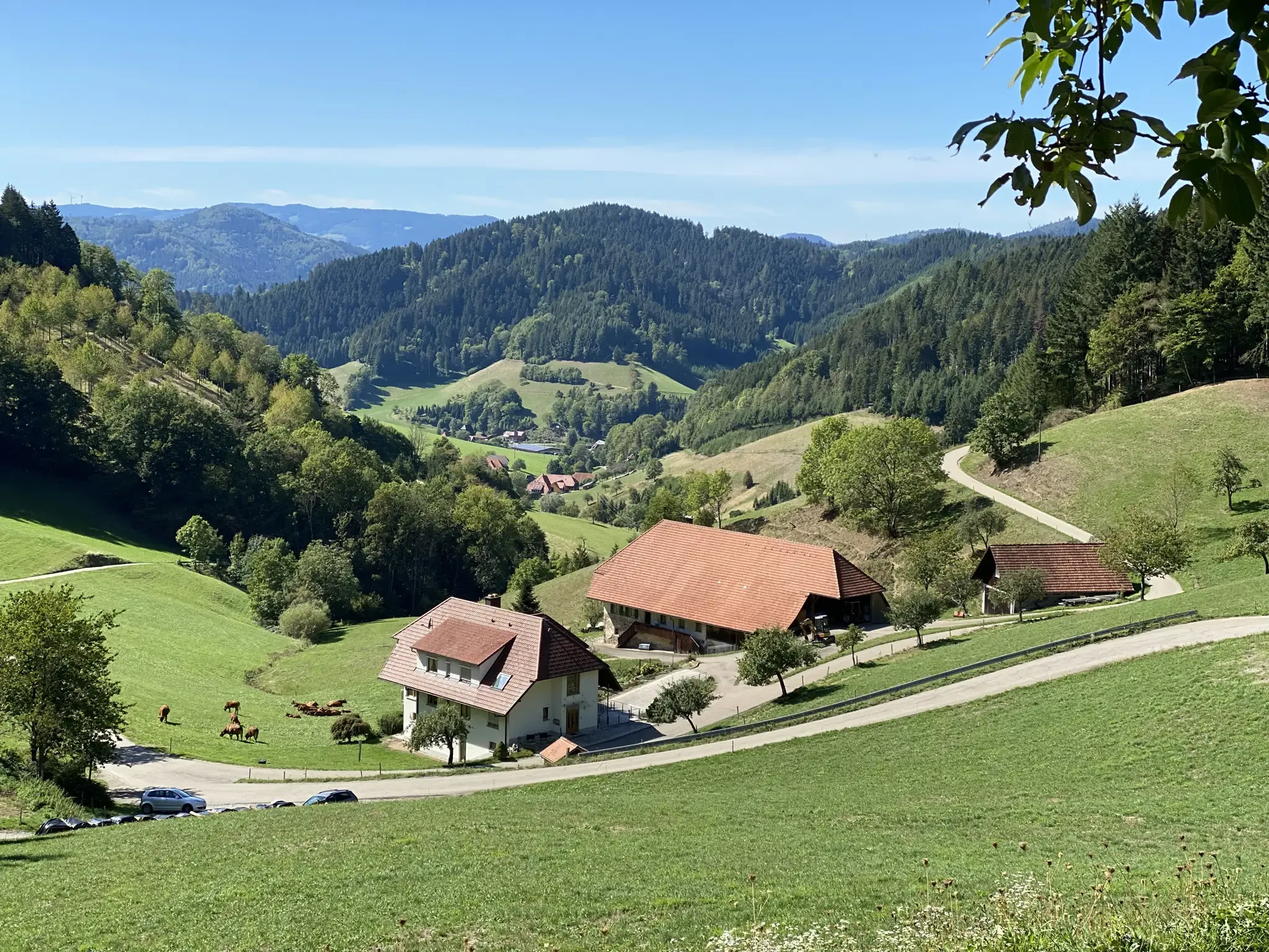
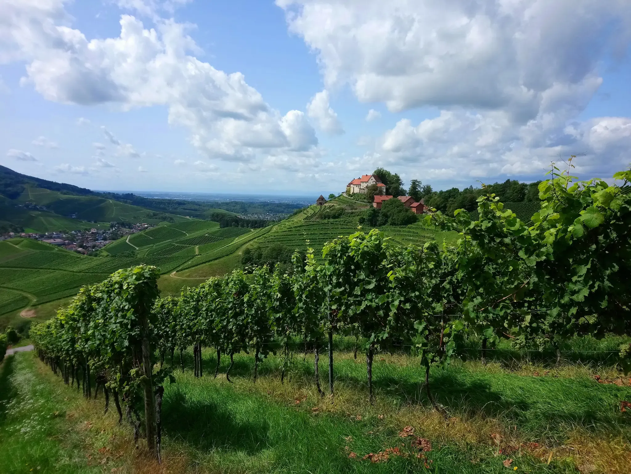
바덴뷔르템베르크의 다른 모험


커뮤니티 팁

슐루흐제 리도(Freibad)는 호수 바로 옆에 있으며 여름에 개장합니다. 슐루흐제까지의 등반 후 스스로에게 보상하고 싶을 때 상쾌한 수영을 즐기기에 좋은 장소입니다. 시즌별 운영 시간을 확인하세요.
0
0

A geological peculiarity is included in the tour.
8
0


The Kohlwinkel Rock near Albstadt-Onstmettingen is a popular vantage point on the Zollernburg Panorama Trail. From here, a sweeping view opens up over the Killer Valley all the way to Jungingen. On clear days, you can even make out the Salmendingen Chapel on the horizon. The rock is nestled in a diverse landscape and is ideal for a rest with a panoramic view. A small symbol shows hikers the way to this special spot along the ridge.
1
0
The Hohenzollern Graben is a geological fault line that stretches from southwest Germany to Austria. It was created by tensions in the Earth's crust that led to shifts millions of years ago. The rift is particularly striking along the Swabian Alb, where it clearly shapes the landscape. Rock layers are exposed here that would otherwise remain hidden. The area is of great interest to geologists because it provides deeper insights into the development of Central Europe.
3
0

Exit point of previously seeped water from the Wutach
4
0
So every now and then you have to take oncoming traffic into consideration
7
1

Beautiful path away from the hustle and bustle
0
0


찾고 계신 것을 찾지 못하셨나요?
바덴뷔르템베르크에서 더 많은 하이킹를 확인하고 목적지에서 완벽한 경로를 찾아보세요.
더 살펴보기
다른 지역의 최고의 하이킹를 살펴보세요.
