라우프 최고의 워킹 & 하이킹 경로
4.6
(38697)
144,528
등산객
71
하이킹
Komoot에 등록된 라우프 내 트레일 및 경로 컬렉션 중에서 하이킹과 워킹을 가장 멋지게 즐길 수 있는 곳을 알려드릴게요. 아래에서 각 경로의 상세 정보를 모두 확인한 후, 라우프 속 자연에서 즐거운 시간을 누려보세요.
마지막 업데이트: 10월 8, 2026
4.7
(120)
357
등산객
13.9km
04:27
540m
540m
보통 하이킹. 좋은 체력 필요. 대부분 갈 수 있는 길. 미끄러지지 않게 조심해야 함.
4.4
(55)
193
등산객
7.10km
01:59
140m
140m
초급용 하이킹. 모든 체력 수준에 적합. 실력과 관계없이 누구나 쉽게 갈 수 있는 길.

4.8
(40)
122
등산객
10.3km
03:05
300m
300m
보통 하이킹. 좋은 체력 필요. 실력과 관계없이 누구나 쉽게 갈 수 있는 길.
4.9
(41)
158
등산객
10.6km
03:24
400m
410m
보통 하이킹. 좋은 체력 필요. 대부분 갈 수 있는 길. 미끄러지지 않게 조심해야 함.
4.5
(28)
106
등산객
10.4km
02:56
220m
220m
보통 하이킹. 좋은 체력 필요. 실력과 관계없이 누구나 쉽게 갈 수 있는 길.
더 다양한 경로와 다른 탐험가들의 추천을 살펴보세요.
이미 komoot 계정이 있나요?
투어 추천은 다른 사람들이 komoot에서 완료한 수천 개의 활동을 바탕으로 구성되어 있습니다.
오늘 무료 계정으로 시작하세요
다음 모험이 기다리고 있어요.

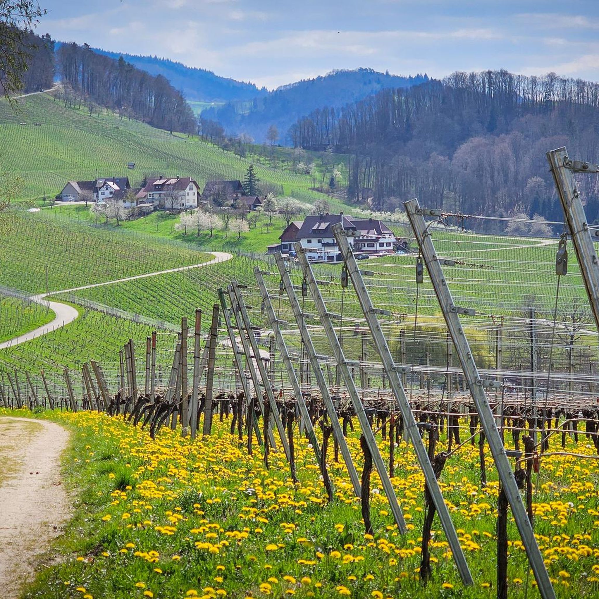
커뮤니티 팁

Hornisgrinde에서 내려오면 Mummelsee의 이런 풍경을 볼 수 있습니다.
3
0

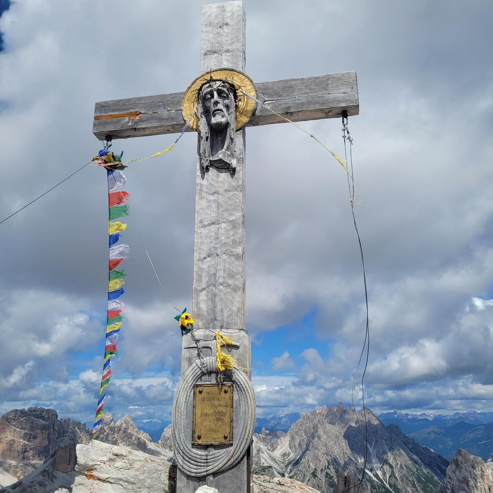
30년 전쟁이 끝났을 때, 슈바르츠발트의 다른 지역들과 마찬가지로 사스바흐발덴 주변의 마을들과 주변 들판은 폐허와 재더미가 되었습니다. 약탈하고 방화하는 군대의 통과로 인해 인구는 거의 전멸했습니다. 사람의 흔적을 만나기 위해 종종 몇 시간씩 걸어야 했습니다. 그리고 사스바흐발덴 근처 북부 슈바르츠발트의 고지대에 있는 이 장소에서 어느 날 한 젊은이가 생존자를 찾다가 한 여인을 만났습니다. 기쁨과 놀라움으로 그는 하늘을 향해 "de alde Gott lebt also noch" (오래된 신은 아직 살아있군)이라고 외쳤습니다. 두 사람은 함께 살게 되었고, 결혼하여 계곡에 정착했습니다. 많은 세월이 흐른 뒤, 두 사람이 만났던 장소에 이 성상이 세워졌습니다. 길을 따라 조금 가면 사스바흐발덴과 라인 계곡의 아름다운 전망을 감상할 수 있으며, 벤치가 있어 쉬어가기 좋습니다.
4
0
일반적으로 “Laufer Schloss”라고도 불리는 노이빈데크 성은 1300년경 뷔흘 근처의 언덕에 이미 알트빈데크 성을 세웠던 빈데크 가문의 영주들에 의해 지어졌습니다. 1300년경 빈데크 가문은 알트빈데크와 노이빈데크 가문으로 나뉘었습니다. 노이빈데크 가문의 마지막 남성 후손은 1592년 베네치아에서 사망했습니다. 유산은 그의 두 여동생인 우르술라와 엘리자베스에게 넘어갔습니다. 한때 번성했던 이 기사 가문은 그렇게 멸문되었고, 성은 1585년 이후로 사람이 살지 않았습니다. 빈데크 기사들이 부유하고 존경받는 기사 가문이었다는 사실은 수많은 발굴을 통해 증명됩니다. 현존하는 기록들은 성이 어떻게 보였고 어떻게 꾸며져 있었는지에 대한 개요를 제공합니다.
6
0

브란트바흐의 물이 이곳에서 가이쇠레(Gaishölle)라고 불리는 좁은 협곡으로 쏟아져 내립니다. 수 세기에 걸쳐 물의 큰 낙차로 인해 계곡 바닥에 있던 거대한 바위와 둥근 돌들이 씻겨 나왔습니다. 이렇게 하여 수많은 폭포가 있는 야생의 낭만적인 숲 협곡이 생겨났습니다. 이전에는 이 계곡을 정상적으로 걸을 수 없었습니다. 협곡을 통과하고 싶다면 "가이센(geißen)"해야 했습니다. 즉, 산양(염소)처럼 기어 다니며 이동해야 했습니다. "회레(Hölle)"는 바위와 돌이 많은 좁고 거친 지역을 일컫는 옛 이름입니다. 1880년에 처음으로 야생의 낭만적인 가이쇠레를 통과하는 하이킹 코스가 만들어졌습니다. 이 길의 유지 보수는 1882년에 "고향 및 교통 협회 사스바흐발덴(Heimat- und Verkehrsvereines Sasbachwalden)"의 전신인 특별 미화 협회의 설립으로 이어졌습니다. 몇 가지 흥미로운 정보: 길이: 약 800m 계단: 225개 다리: 13개 고도차: 154m 무어베르크 거리 접근: 해발 338m
1
0
브란트바흐의 물이 가이쇠르라고 불리는 좁은 협곡으로 이곳에서 떨어집니다. 수세기에 걸쳐 물의 큰 낙차로 인해 계곡 바닥에 있는 거대한 바위와 빙하 퇴적물이 씻겨 나갔습니다. 이렇게 하여 많은 폭포가 있는 야생적이고 낭만적인 숲 협곡이 만들어졌습니다. 예전에는 계곡을 정상적으로 걸을 수 없었습니다. 협곡을 통과하고 싶다면 "가이젠" 즉, 산양(염소)처럼 기어 다녀야 했습니다. "회르"는 바위와 돌이 많은 좁고 거친 지역을 일컫는 옛 이름입니다. 1880년에 처음으로 야생적이고 낭만적인 가이쇠르를 통과하는 하이킹 코스가 만들어졌습니다. 이 길의 유지 보수 및 관리는 1882년에 특별 미화 협회인 오늘날의 "사스바흐발덴 지역 및 교통 협회"의 설립으로 이어졌습니다. 몇 가지 흥미로운 데이터: 코스 길이: 약 800m 계단: 225개 다리: 13개 고도차: 154m 무르베르크 거리 접근: 해발 338m
1
0
브란트바흐의 물이 가이쇠르라고 불리는 좁은 협곡으로 떨어집니다. 수 세기에 걸쳐 물의 큰 낙차로 인해 계곡 바닥에 있는 거대한 바위와 너덜이 씻겨 나갔습니다. 이렇게 해서 많은 폭포가 있는 야생적이고 낭만적인 숲 협곡이 생겨났습니다. 예전에는 이 계곡을 정상적으로 걸을 수 없었습니다. 협곡을 통과하고 싶다면 "가이센" 즉, 산양(염소)처럼 기어 올라가야 했습니다. "회르레"는 많은 바위와 돌이 있는 좁고 거친 지역을 일컫는 오래된 이름입니다. 1880년에 처음으로 야생적이고 낭만적인 가이쇠르를 통과하는 하이킹 코스가 만들어졌습니다. 이 길의 유지 보수와 관리는 1882년에 현재의 "Heimat- und Verkehrsvereines Sasbachwalden"인 특별 "미화 협회"의 설립으로 이어졌습니다. 몇 가지 흥미로운 데이터: 코스 길이: 약 800m 계단: 225개 다리: 13개 고도차: 154m 무르베르크 거리 접근: 해발 338m
2
0

Very slippery terrain, poles strongly recommended.
1
0

The path to the waterfalls is very beautiful and varied. You repeatedly cross the waterfall on small wooden bridges.
3
0


더 살펴보기
다른 지역의 최고의 하이킹를 살펴보세요.
