사스바흐발덴 최고의 워킹 & 하이킹 경로
4.6
(45308)
169,827
등산객
164
하이킹
하이킹은 검은 숲의 서쪽 경사면에 있는 다양한 풍경을 제공합니다. 이 지역은 울창한 숲, 광활한 포도밭, 매력적인 초원 과수원이 특징입니다. 하이커들은 완만한 산기슭부터 호른스그린데의 높은 황무지까지 다양한 지형을 탐험할 수 있으며, 라인 평원 너머로 펼쳐지는 전망을 감상할 수 있습니다. 자연 명소로는 로맨틱한 협곡에 자리한 가이숄 폭포가 있습니다.
사스바흐발덴 주변 최고의 하이킹 코스
- 가장 인기 있는 하이킹 루트는 사스바흐발덴 근처 프리미엄 트레일 - 알데 고트 파노라마 트레일로, 6.2마일(10.0km)의 중간 난이도 코스로 3시간 7분이 소요되며 포도밭, 숲, 폭포를 감상할 수 있습니다.
- 현지…
마지막 업데이트: 10월 6, 2026
4.8
(1172)
4,042
등산객
10.0km
03:07
380m
380m
보통 하이킹. 좋은 체력 필요. 실력과 관계없이 누구나 쉽게 갈 수 있는 길.
4.7
(235)
858
등산객
5.97km
01:57
260m
260m
초급용 하이킹. 모든 체력 수준에 적합. 실력과 관계없이 누구나 쉽게 갈 수 있는 길.

4.7
(165)
581
등산객
10.7km
03:29
500m
500m
보통 하이킹. 좋은 체력 필요. 대부분 갈 수 있는 길. 미끄러지지 않게 조심해야 함.
4.7
(593)
2,202
등산객
8.35km
02:36
300m
300m
보통 하이킹. 좋은 체력 필요. 실력과 관계없이 누구나 쉽게 갈 수 있는 길.
4.6
(31)
113
등산객
1.95km
00:41
120m
110m
초급용 하이킹. 모든 체력 수준에 적합. 실력과 관계없이 누구나 쉽게 갈 수 있는 길.
더 다양한 경로와 다른 탐험가들의 추천을 살펴보세요.
이미 komoot 계정이 있나요?
투어 추천은 다른 사람들이 komoot에서 완료한 수천 개의 활동을 바탕으로 구성되어 있습니다.
오늘 무료 계정으로 시작하세요
다음 모험이 기다리고 있어요.
사스바흐발덴 주변 인기 장소
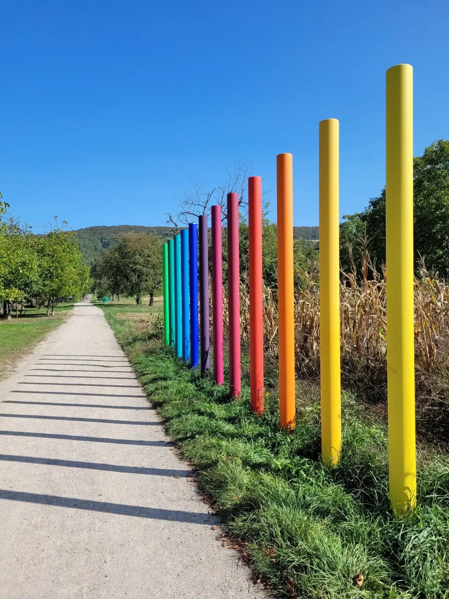
Outdoor Art – art trails in the Black Forest
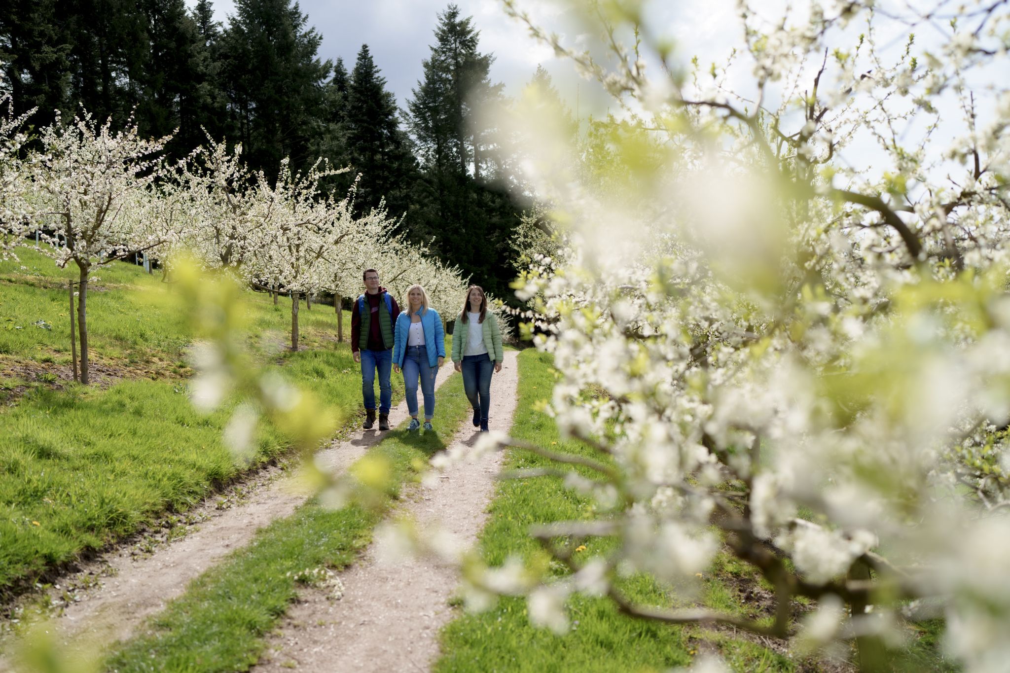
Hiking between Baden's vineyards, wildflowers & green lizards
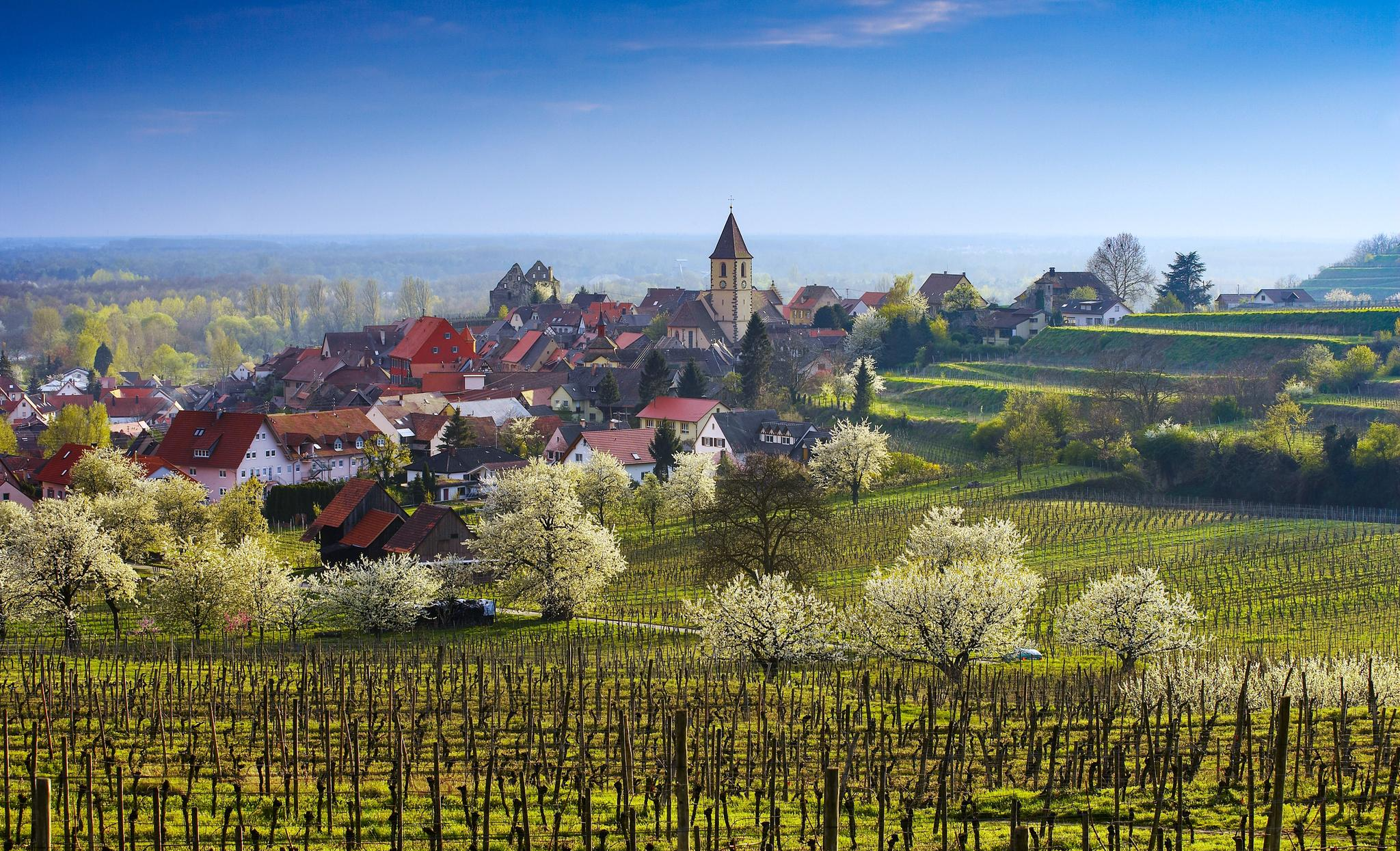
Dreaming in the valley – low-lying spring trails in the Black Forest

Coolcation in the Black Forest – hiking and cooling off in summer
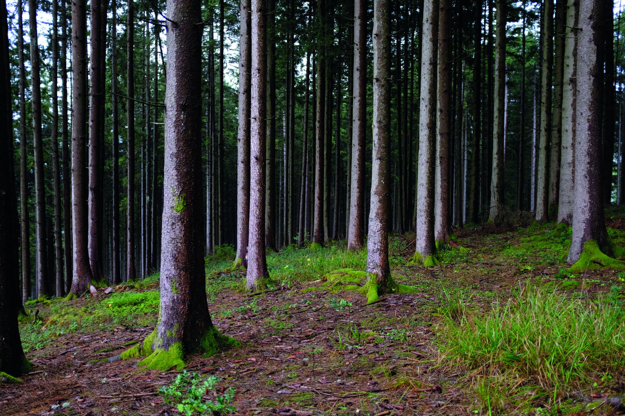
블랙 포레스트 깊숙이 - 웨스트웨이를 통한 통과

Hikes to seasonal taverns along the Baden Wine Route in Germany
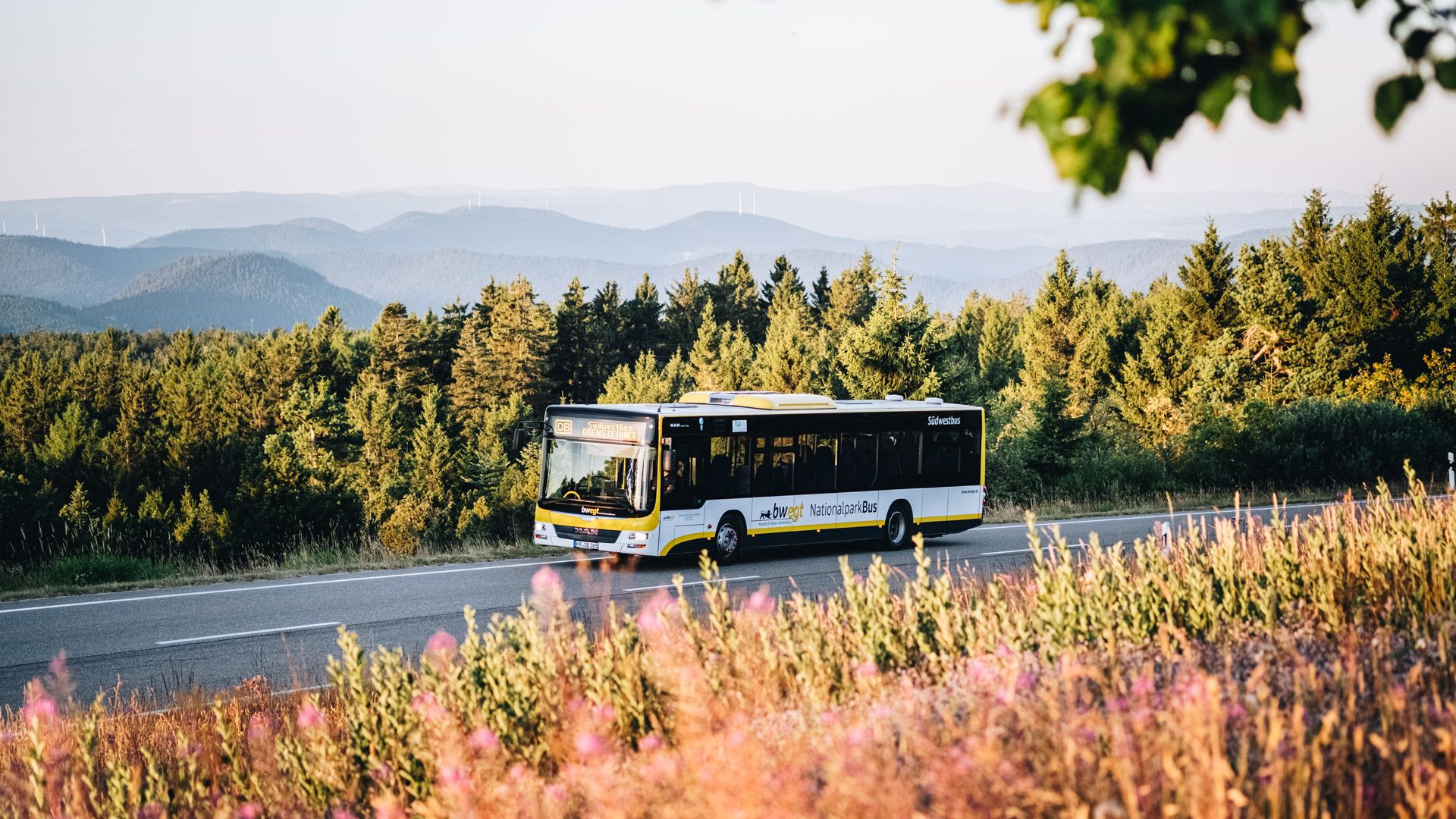
Pure nature: discover the Black Forest by bus and train
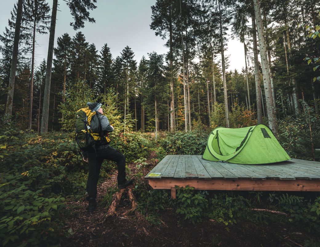
Special overnight stays and trekking camps in the Black Forest
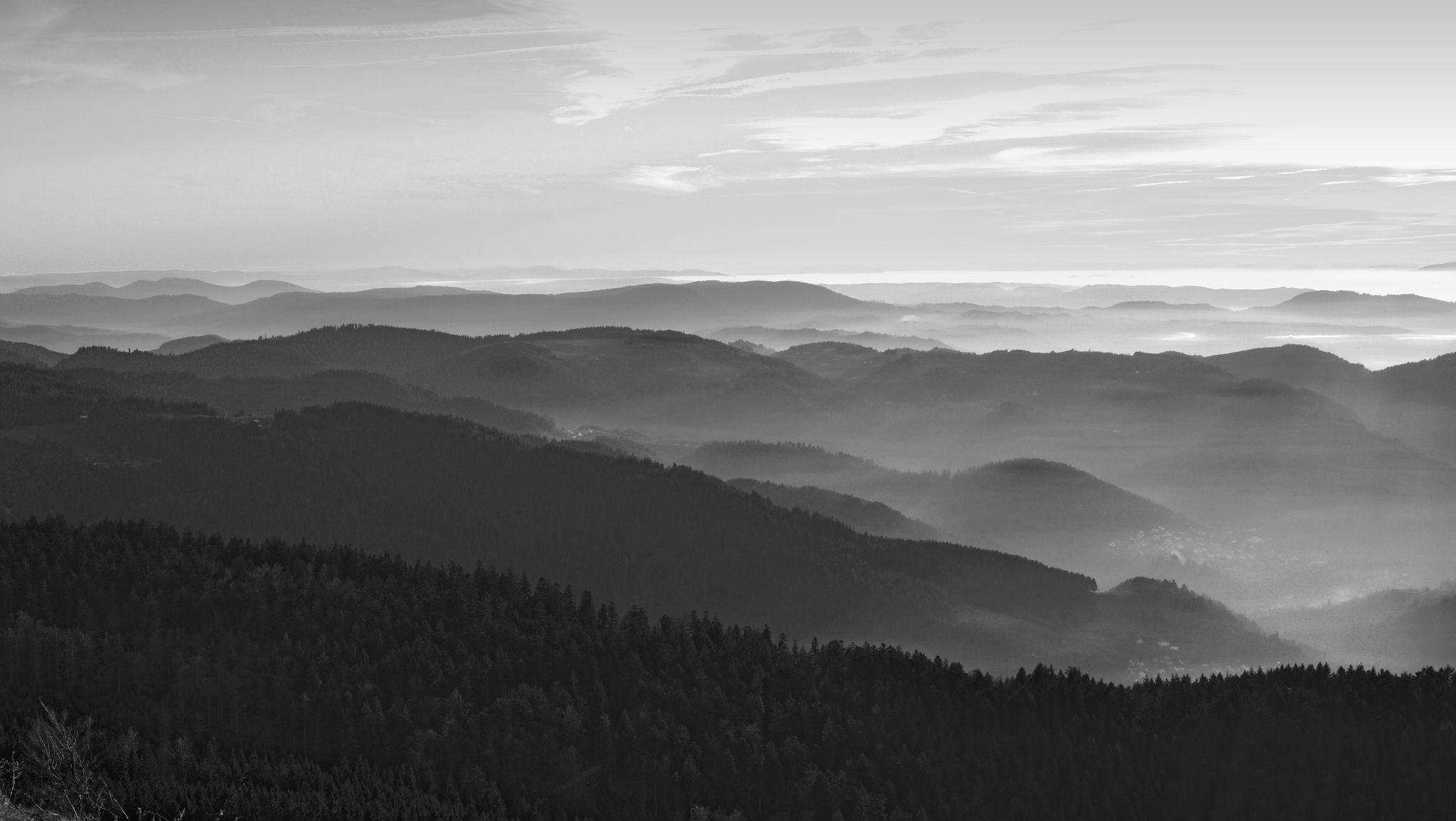
Let yourself be enchanted — hiking in the mystical Black Forest
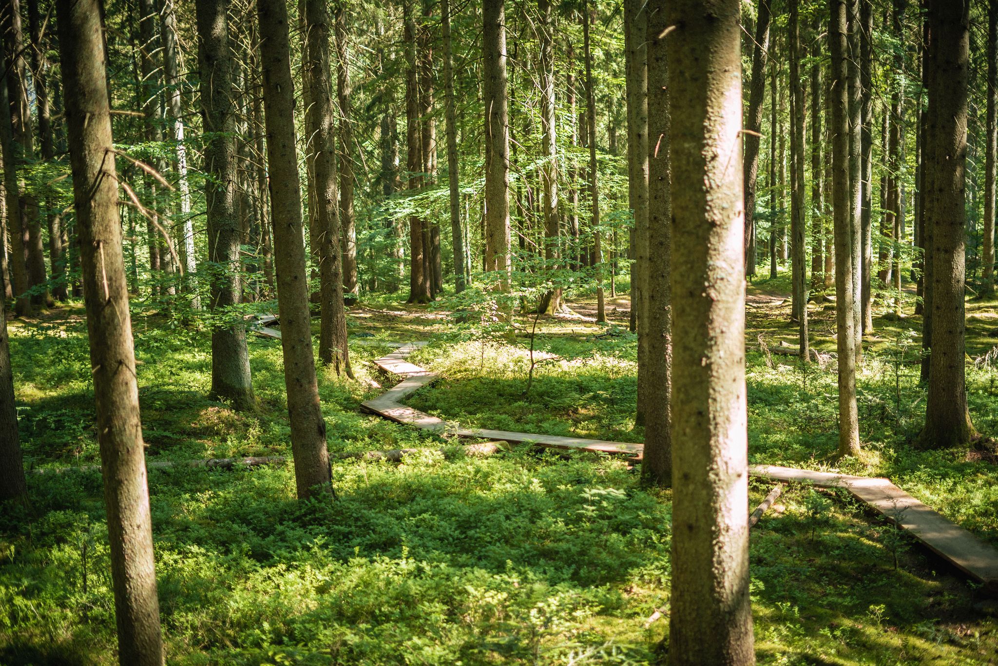
Adventure trails in the Black Forest for young and old alike
사스바흐발덴 주변의 다른 모험


커뮤니티 팁


Sasbachwalden 주변의 포도밭과 계곡에 위치한 마을의 멋진 전망입니다. 날씨가 좋으면 서쪽으로 라인강 평원 깊숙한 곳까지 보주 산맥까지 보입니다.
3
0

브란트바흐의 물이 이곳에서 가이쇠레(Gaishölle)라고 불리는 좁은 협곡으로 쏟아져 내립니다. 수 세기에 걸쳐 물의 큰 낙차로 인해 계곡 바닥에 있던 거대한 바위와 둥근 돌들이 씻겨 나왔습니다. 이렇게 하여 수많은 폭포가 있는 야생의 낭만적인 숲 협곡이 생겨났습니다. 이전에는 이 계곡을 정상적으로 걸을 수 없었습니다. 협곡을 통과하고 싶다면 "가이센(geißen)"해야 했습니다. 즉, 산양(염소)처럼 기어 다니며 이동해야 했습니다. "회레(Hölle)"는 바위와 돌이 많은 좁고 거친 지역을 일컫는 옛 이름입니다. 1880년에 처음으로 야생의 낭만적인 가이쇠레를 통과하는 하이킹 코스가 만들어졌습니다. 이 길의 유지 보수는 1882년에 "고향 및 교통 협회 사스바흐발덴(Heimat- und Verkehrsvereines Sasbachwalden)"의 전신인 특별 미화 협회의 설립으로 이어졌습니다. 몇 가지 흥미로운 정보: 길이: 약 800m 계단: 225개 다리: 13개 고도차: 154m 무어베르크 거리 접근: 해발 338m
1
0
Fuchsschroffen" 이 바위와 그 주변에는 과거에 많은 여우들이 살았으며, 훔친 닭들을 이곳에 숨기기도 했습니다. Fuchsschroffen은 화강암으로 이루어져 있으며, 이는 도로 건설 및 석재로 사용되는 등 매우 단단하고 견고한 암석입니다. 화강암은 매우 넓은 틈새 네트워크를 가지고 있어 침식 작용을 통해 큰 정육면체 블록으로 분해됩니다. 화강암의 나이 약 3억 1500만 년.
0
0
브란트바흐의 물이 가이쇠르라고 불리는 좁은 협곡으로 떨어집니다. 수 세기에 걸쳐 물의 큰 낙차로 인해 계곡 바닥에 있는 거대한 바위와 너덜이 씻겨 나갔습니다. 이렇게 해서 많은 폭포가 있는 야생적이고 낭만적인 숲 협곡이 생겨났습니다. 예전에는 이 계곡을 정상적으로 걸을 수 없었습니다. 협곡을 통과하고 싶다면 "가이센" 즉, 산양(염소)처럼 기어 올라가야 했습니다. "회르레"는 많은 바위와 돌이 있는 좁고 거친 지역을 일컫는 오래된 이름입니다. 1880년에 처음으로 야생적이고 낭만적인 가이쇠르를 통과하는 하이킹 코스가 만들어졌습니다. 이 길의 유지 보수와 관리는 1882년에 현재의 "Heimat- und Verkehrsvereines Sasbachwalden"인 특별 "미화 협회"의 설립으로 이어졌습니다. 몇 가지 흥미로운 데이터: 코스 길이: 약 800m 계단: 225개 다리: 13개 고도차: 154m 무르베르크 거리 접근: 해발 338m
2
0

A very beautiful panoramic hotspot. From here you can see the entire valley.
3
0
The path to the waterfalls is very beautiful and varied. You repeatedly cross the waterfall on small wooden bridges.
3
0

First stop at the Spinnerhof and then enjoy the best view
3
1


더 살펴보기
다른 지역의 최고의 하이킹를 살펴보세요.
