세르다냐 주변 최고의 교통량 없는 자전거 라이딩 코스
4.5
(16)
805
자전거 타는 사람
16
라이딩
자전거 도로가 없는 그라벨 자전거 코스는 세르다냐 주변의 탁 트인 계곡, 울창한 숲, 피레네 산맥의 산악 고개를 가로지르는 다양한 풍경을 선사합니다. 이 지역은 카디-모이셰루 자연공원과 같은 중요한 자연 지역을 특징으로 하며, 빙하 호수와 함께 푸이그페드로스(Puigpedrós)와 토사 달프(Tosa d'Alp)와 같은 봉우리들이 있습니다. 그라벨 코스는 잘 정비된 트랙, 매력적인 길, 보조 도로를 혼합하여 사용하며 비포장 구간도 포함됩니다. 이러한 다양성은 조용한 오프로드 사이클링을 추구하는 라이더들에게 흥미로운 경험을 제공합니다.
세르다냐 주변 최고의 자전거 도로 없는 그라벨 자전거 코스
- 가장 인기 있는 자전거 도로 없는…
마지막 업데이트: 8월 30, 2026
5.0
(2)
38
자전거 타는 사람
50.6km
04:23
1,400m
1,400m
어려운 자갈길 타기. 우수한 체력 필요. 대부분 포장된 지면. 실력과 관계없이 누구나 갈 수 있음.
5.0
(2)
84
자전거 타는 사람
58.6km
04:28
1,350m
1,350m
어려운 자갈길 타기. 우수한 체력 필요. 대부분 포장된 지면. 실력과 관계없이 누구나 갈 수 있음.

5.0
(1)
29
자전거 타는 사람
52.3km
03:22
560m
560m
어려운 자갈길 타기. 우수한 체력 필요. 대부분 포장된 지면. 실력과 관계없이 누구나 갈 수 있음.
13
자전거 타는 사람
38.7km
04:13
1,290m
1,290m
어려운 자갈길 타기. 우수한 체력 필요. 대부분 포장된 지면. 실력과 관계없이 누구나 갈 수 있음.
15
자전거 타는 사람
40.8km
03:36
1,000m
1,000m
어려운 자갈길 타기. 우수한 체력 필요. 대부분 포장된 지면. 실력과 관계없이 누구나 갈 수 있음.
더 다양한 경로와 다른 탐험가들의 추천을 살펴보세요.
이미 komoot 계정이 있나요?
투어 추천은 다른 사람들이 komoot에서 완료한 수천 개의 활동을 바탕으로 구성되어 있습니다.
오늘 무료 계정으로 시작하세요
다음 모험이 기다리고 있어요.
세르다냐 주변 인기 장소




커뮤니티 팁

Martinet에서 Cap del Rec까지의 오르막은 진정한 도전입니다. 단 16.5km의 코스에 거의 1,000미터의 상승 고도가 있습니다!
0
0

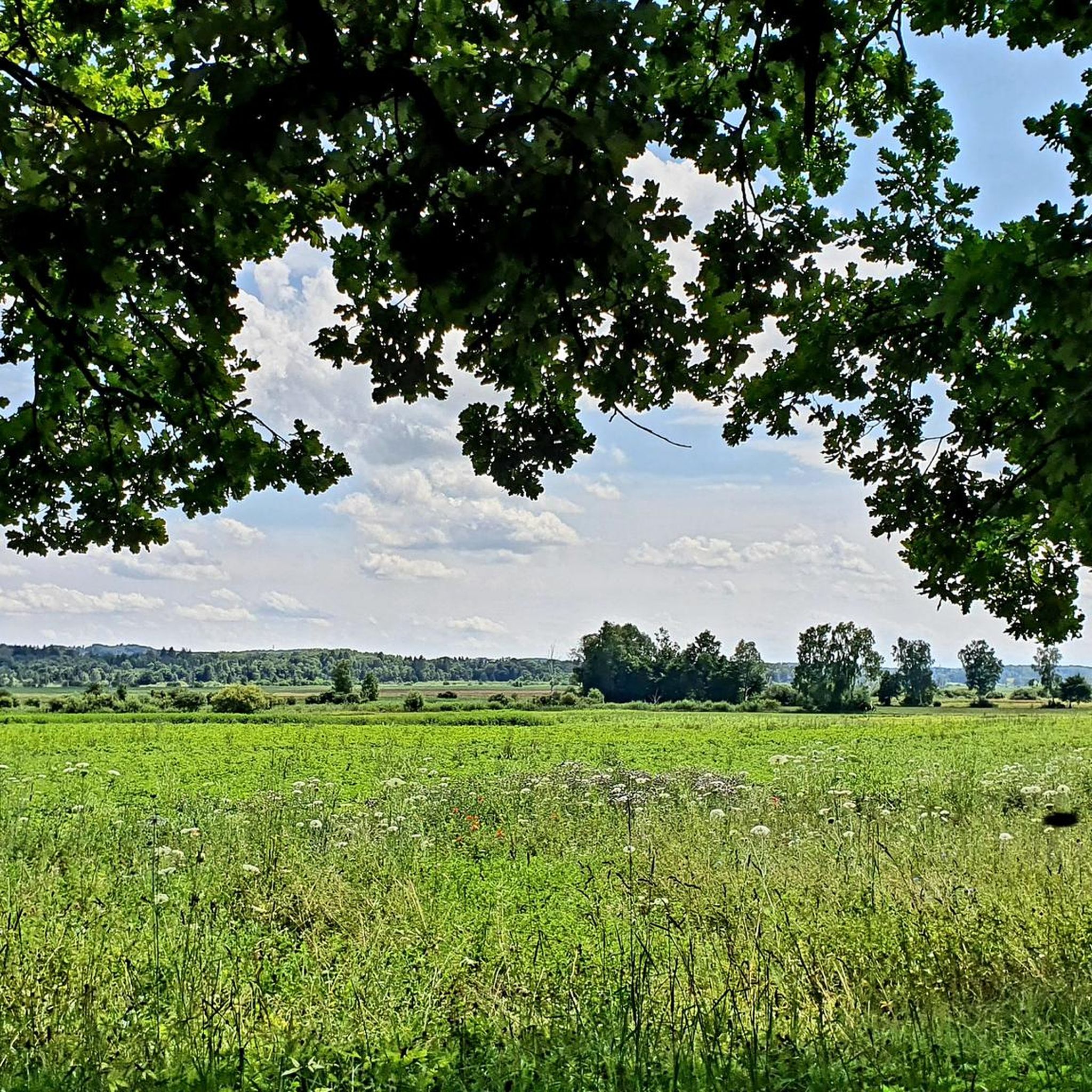
Small Romanesque church located on a plateau with open views of the Cadí and the Segre valley. It retains its original structure and exudes a beautiful simplicity, surrounded by meadows and silence. It is a perfect place to take a break and feel the calm of the mountain. By mountain bike, access is by track with some rocky sections but without excessive difficulty. Tip: take the opportunity to have a drink or take a photo before facing the next climb; the morning light here is especially beautiful.
0
0
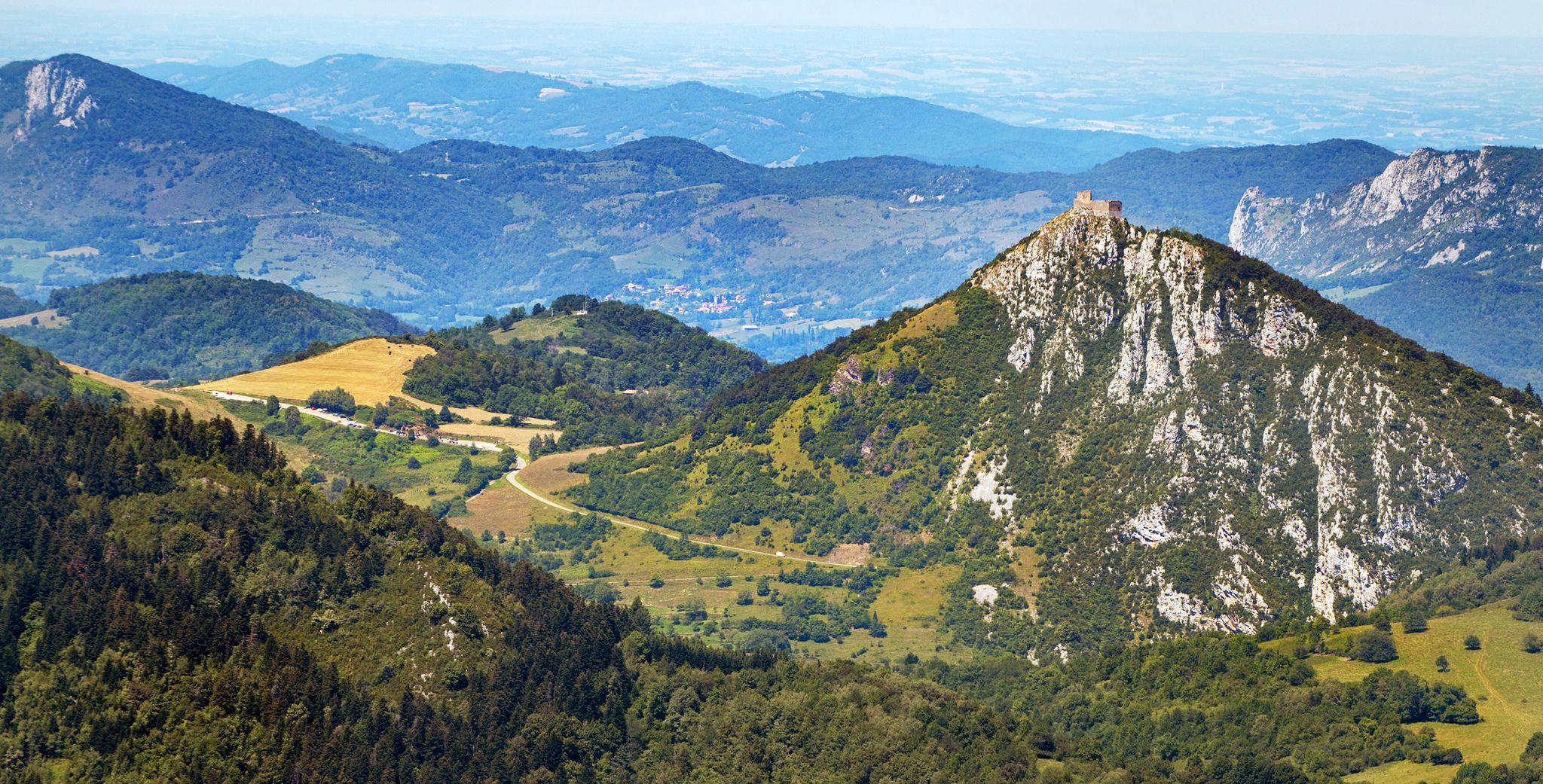
A magnificent example of rural Romanesque architecture from the Cerdà region, surrounded by fields and with the Cadí River as a backdrop. The building retains the original apse and a sober charm that conveys calm and authenticity. It is an ideal place to stop for a few minutes and breathe in the silence. By mountain bike, you can reach it by a smooth, well-marked track from Bellver; the final stretch may have some loose gravel, but it is easily cycled. Tip: if you go there in the afternoon, the golden light illuminates the stone and turns the visit into a small Pyrenean postcard.
0
0
Aransa Station Parking (Lles de Cerdanya). The perfect starting point for mountain biking and hiking routes through the Cadí-Moixeró Natural Park. Located at approximately 1,550 meters, the parking area offers ample space, nearby water fountains, and open views of the valley. In summer, it's quiet and ideal for starting climbs towards the Pradell Refuge or the Estanys de la Pera lakes. For mountain biking, the start is direct and somewhat demanding: a wide track with a continuous incline. Tip: warm up well before leaving the pavement, pace yourself, and conserve energy, as the initial climbs can be punishing if you start too fast.
0
0
Located at an altitude of 1,960 meters, this refuge is a key point for cyclists and hikers heading towards the Tossa Plana de Lles or the Nordic ski slopes. The refuge combines a mountain atmosphere with comfortable amenities: a bar, a dining room, and a terrace with open views of the Cadí mountain range. It's a good place to stop, have a hot meal, or adjust your bike before continuing the climb. For mountain biking, the track from Lles has an uneven surface and rocky sections; tires with good grip are recommended, as is maintaining a constant cadence, especially on the final bends where the gradient is noticeable.
0
0
Font de Viliella (Lles de Cerdanya). A small hidden gem in the heart of the village, under a stone porch with a tiled roof, so typical of the Cerdanya region. Fresh water flows between ancient walls, with a half-erased inscription that hints at its history. Ideal for filling your water bottle and taking a breath of fresh air before continuing your ride up the slopes of the Pyrenees. If you're on a mountain bike, be careful on the uphill section from Prullans: it's short but steep and has loose stones; it's best to take it easy and at a leisurely pace, as the spring deserves to be enjoyed when you arrive with plenty of breath.
0
0


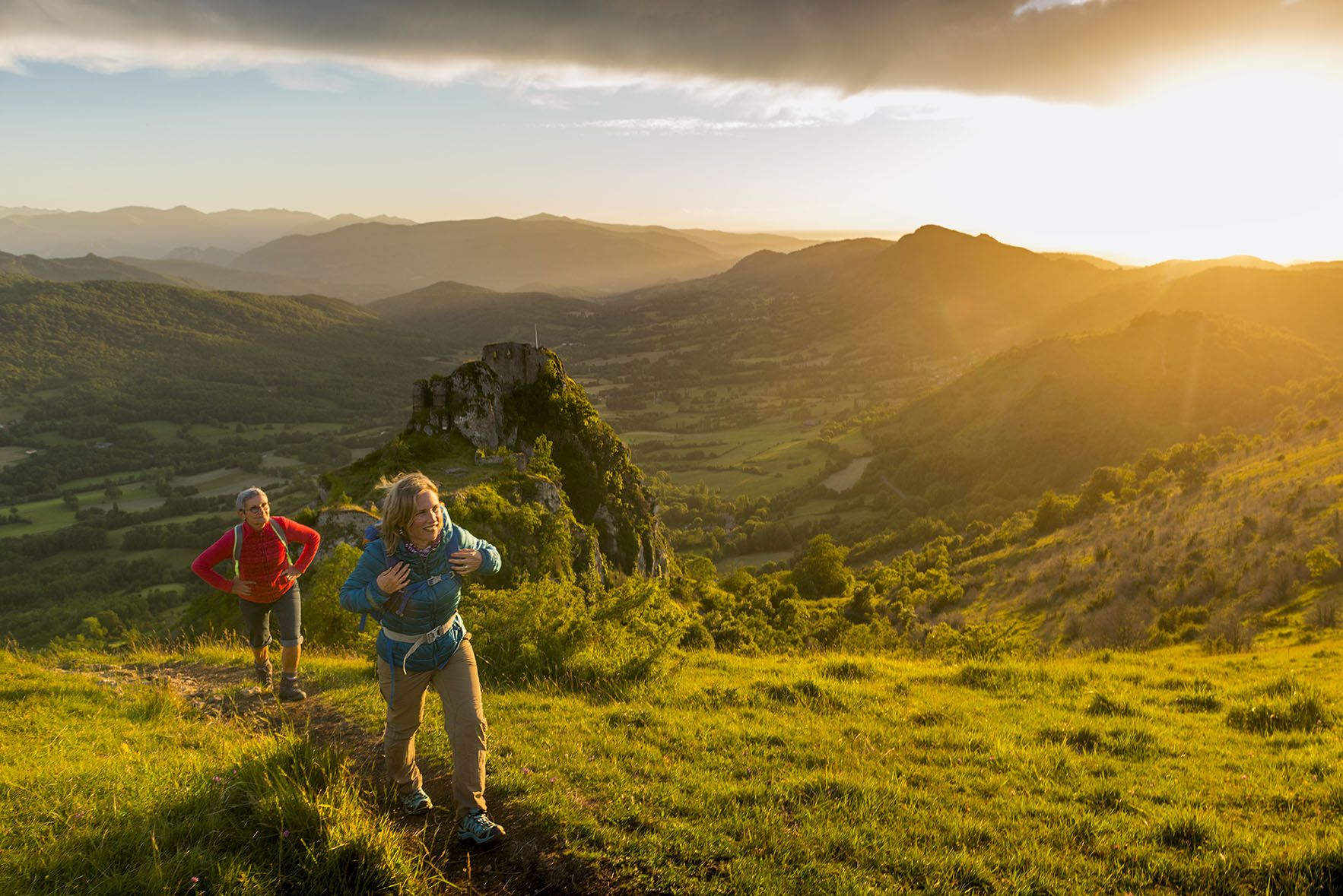
The small and cosy Feixa refuge is located in the Catalan region of Cerdanya, at an altitude of 2,160 metres. It has just 12 places to stay overnight, but it has a shower service, meals and a bar.
0
0
자주 묻는 질문
세르다냐에는 교통량이 적은 그래블 바이크 코스가 몇 개나 있나요?
세르다냐는 조용한 그래블 바이크 코스를 다양하게 제공합니다. 저희 가이드에는 교통량을 피해 라이딩할 수 있도록 특별히 설계된 35개 이상의 코스가 있으며, 난이도는 쉬움부터 어려움까지 다양합니다.
세르다냐의 교통량이 적은 그래블 코스에서는 어떤 지형과 고도를 예상할 수 있나요?
세르다냐의 교통량이 적은 그래블 코스는 울창한 숲을 통과하는 잘 정비된 길부터 매력적인 오솔길과 비포장된 2차 도로까지 다양한 지형을 가로지릅니다. 1,000미터 이상의 오르막이 있는 코스가 많아 상당한 고도 변화를 예상할 수 있습니다. 예를 들어, 이소볼에서 출발하는 스키장 전망대 – 레푸지 데 라 페이샤 루프는 거의 60km에 달하며 1,350미터 이상의 상승 고도를 제공하여 도전적인 경험을 선사합니다.
세르다냐에는 초보자에게 적합한 가족 친화적인 교통량이 적은 그래블 코스가 있나요?
네, 세르다냐에는 가족이나 초보자에게 완벽한 쉬운 교통량이 적은 그래블 코스가 여러 개 있습니다. 많은 코스가 보통에서 어려움 수준이지만, 저희 가이드에는 쉬움으로 분류된 코스가 최소 4개 있어 이 지역의 아름다운 풍경 속에서 그래블 바이크를 더 부드럽게 즐길 수 있습니다.
이 조용한 그래블 코스를 따라 어떤 자연 명소나 랜드마크를 발견할 수 있나요?
세르다냐의 교통량이 적은 그래블 코스는 종종 멋진 자연 명소로 이어집니다. 오리 호수나 그림 같은 에스타니스 데 라 페라와 같은 빙하 호수를 지나칠 수도 있습니다. 많은 코스가 카디 초원(1,880m)과 같은 높은 지점에서 탁 트인 전망을 제공하거나, 토사 플라나 데 르예스(2,916m)와 같은 인상적인 봉우리 근처까지 이어지기도 합니다. 이 지역은 또한 광활한 카디-모이셰루 자연공원이 있어 고요한 자연의 아름다움을 선사합니다.
세르다냐에서 교통량이 적은 그래블 바이크를 즐기기에 가장 좋은 시기는 언제인가요?
세르다냐는 연중 야외 활동 애호가들에게 매력적인 곳으로 유명합니다. 이 지역은 햇볕이 잘 드는 기후를 자랑하므로 봄, 여름, 가을이 그래블 바이크를 타기에 이상적입니다. 겨울에는 독특한 눈 덮인 풍경을 즐길 수 있지만, 일부 고지대 코스는 접근이 어려울 수 있습니다. 가장 많은 코스가 개방되고 날씨가 쾌적한 시기는 일반적으로 늦은 봄부터 초가을까지입니다.
세르다냐에서 순환형 교통량이 적은 그래블 바이크 코스를 찾을 수 있나요?
물론입니다. 세르다냐의 교통량이 적은 그래블 코스 중 상당수는 순환 루프로 설계되어 같은 지점에서 시작하고 끝낼 수 있습니다. 예를 들어, 벨베르 데 세르다냐에서 출발하는 리비아에서 우르까지 가는 길 루프는 50km가 넘는 상당한 길이의 순환 라이딩을 제공하여 되돌아가지 않고 하루 동안 모험을 즐기기에 완벽합니다.
세르다냐에서 더 긴 교통량이 적은 그래블 바이크 모험을 위한 옵션이 있나요?
네, 세르다냐는 긴 그래블 바이크 모험에 매우 적합합니다. 개별적인 당일 코스 외에도 이 지역은 212km에서 285km에 이르는 맞춤형 국경 간 코스를 제공하는 '트랙스 데 세르다냐 그래블'과 같은 광범위한 네트워크로 유명합니다. 저희 가이드에는 거의 60km 길이의 스키장 전망대 – 레푸지 데 라 페이샤 루프와 같은 더 긴 개별 코스도 포함되어 있습니다.
다른 그래블 라이더들이 세르다냐에서의 그래블 바이크를 가장 좋아하는 점은 무엇인가요?
komoot 커뮤니티는 세르다냐에서의 그래블 바이크에 대해 별점 5점 만점에 평균 4.9점을 줄 정도로 높이 평가하고 있습니다. 리뷰어들은 이 지역의 멋진 파노라마 전망, 교통량을 피할 수 있는 조용하고 다양한 지형, 그리고 피레네 산맥 전역의 숨 막히는 풍경으로 이어지는 보람 있는 오르막을 자주 칭찬합니다.
세르다냐의 교통량이 적은 그래블 트레일에 주차하거나 접근할 수 있는 곳은 어디인가요?
세르다냐의 교통량이 적은 그래블 트레일 중 상당수는 계곡 전역의 매력적인 마을에서 접근할 수 있습니다. 푸이세르다, 벨베르 데 세르다냐, 리비아와 같은 마을은 훌륭한 출발점이 되며, 종종 대중 주차 시설을 제공합니다. 벨베르 데 세르다냐에서 출발하는 아란사 – 푸르얀스까지 가는 산길 루프와 같은 코스는 이러한 중심지에서 쉽게 접근할 수 있습니다.
세르다냐의 교통량이 적은 그래블 코스를 따라 산악 대피소나 오두막이 있나요?
네, 세르다냐의 산악 지형 덕분에 더 긴 라이딩에서 관심 지점이나 휴식 장소 역할을 할 수 있는 여러 대피소와 오두막을 찾을 수 있습니다. 주목할 만한 예로는 프라트 다길로 대피소, 카프 델 레크 대피소, 에스타니스 데 라 페라 대피소 등이 있으며, 고산 환경을 경험할 기회를 제공합니다.
그래블 바이크와 세르다냐의 현지 마을 탐험을 결합할 수 있나요?
물론입니다. 세르다냐의 교통량이 적은 그래블 코스는 종종 매력적인 마을들을 연결하거나 근처를 지나갑니다. 문화적 풍요로움, 역사적인 건축물, 그리고 현지 매력으로 유명한 푸이세르다, 벨베르 데 세르다냐, 리비아와 같은 장소에 들르는 라이딩을 쉽게 계획할 수 있습니다. 이를 통해 야외 모험과 문화 탐험을 결합할 수 있습니다.
세르다냐 주변에서 가장 인기 있는 명소


찾고 계신 것을 찾지 못하셨나요?
세르다냐에서 더 많은 그래블 라이딩를 확인하고 목적지에서 완벽한 경로를 찾아보세요.
더 살펴보기
다른 지역의 최고의 그래블 라이딩를 살펴보세요.
