경로

플래너

기능

업데이트

App

로그인 또는 가입

앱 다운로드

로그인 또는 가입

경로
Places to see
Mountain passes
스페인
카탈루냐
예이다

세르다냐

세르다냐‬에서 가장 멋진 ‪9‬개의 산길

세르다냐에서 가장 멋진 산길을 아래에서 살펴보세요. 풍경을 감상하기에도 좋고, 오르막길/내리막길을 따라 걷기에도 좋은 곳이랍니다. 커뮤니티가 특별 도움을 통해 공유한 콘텐츠인 만큼 믿을 수 있는 정보이니 마음에 드는 산길이 있다면 바로 다음 모험 계획에 추가해서 바로 방문해보세요.

마지막 업데이트: 8월 30, 2026

파스 델스 고솔란스

하이라이트 • 산악 고개

A magical place on the well-known Cavalls del Vent route, rising from the Prat d'aguilo refuge in the Sierra del Casi

번역자 Google •

에 의해

하이킹 보기

휴대폰으로 전송

저장

포르테야 블랑카

하이라이트 • 산악 고개

Portella Blanca is a mountain pass located 2,514 meters high. It is located between the peaks of Negre d'Envalira and Tosseta de l'Esquella, right on the border with Andorra and …

번역자 Google •

에 의해

저장

이런 장소를 발견하려면 지금 가입하세요

최고의 싱글 트랙, 봉우리 및 다양한 흥미로운 야외 장소에 대한 추천을 받아보세요.

무료 회원 가입

Collado de Pendís

하이라이트 • 산악 고개

The Pendís pass is the focal point between Cadí and Moixeró.

번역자 Google •

에 의해

저장

Coll de Tancalaporta

하이라이트 • 산악 고개

Collado at 2,343 meters of altitude. Point where the Sierra del Cadí and Moixa mountains meet.

번역자 Google •

에 의해

저장

프루얀스로 가는 산길

하이라이트 (구간) • 산악 고개

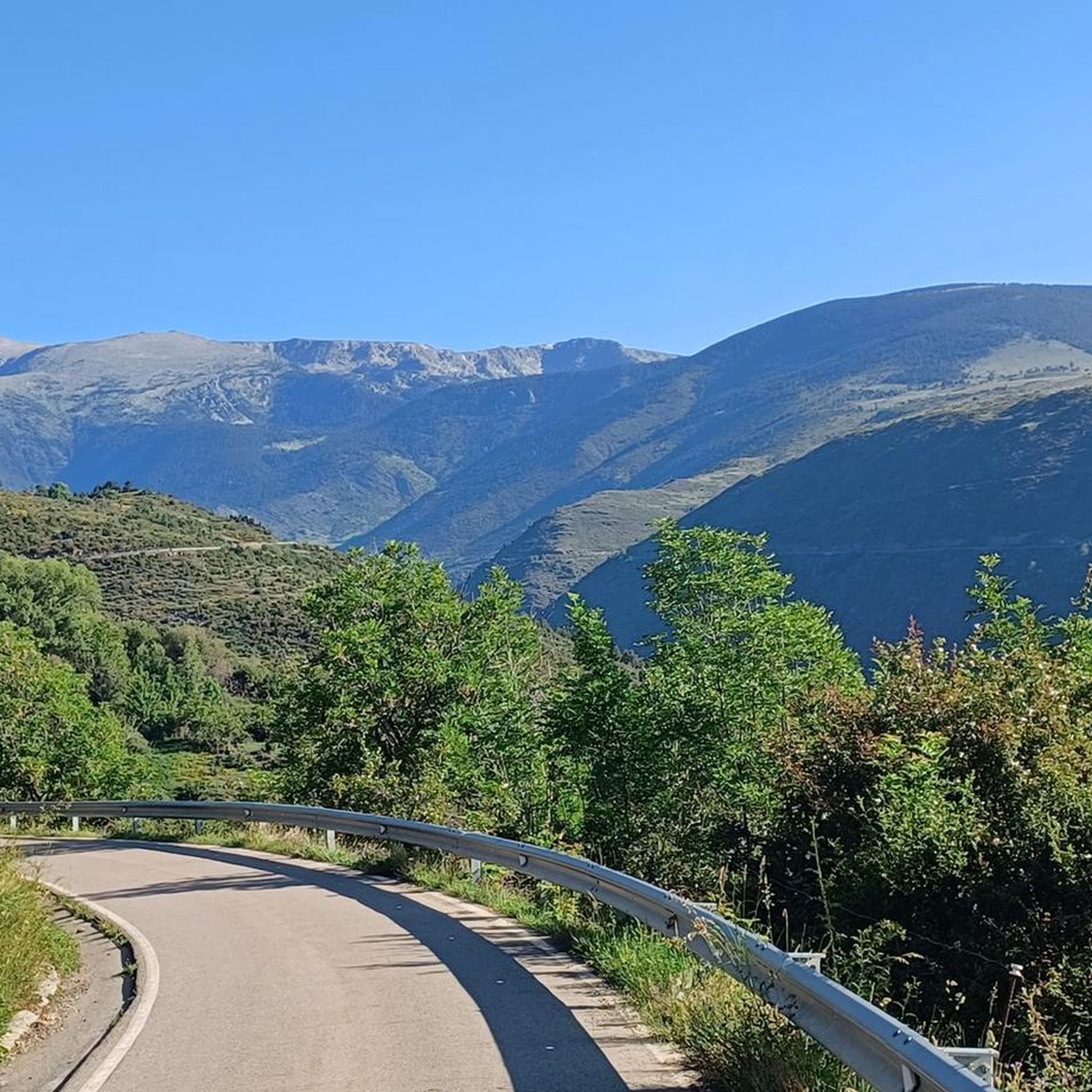
Descent from Lles de Cerdanya to Prullans, by a small mountain road very well asphalted: a pure happiness for the legs and the eyes!

번역자 Google •

에 의해

저장

콜라도 데 팔레르스

하이라이트 • 산악 고개

Starting point/information of the route to Prado del Cadí.

번역자 Google •

에 의해

저장

Portella de Calm Colomer

하이라이트 • 산악 고개

Portella de Calm Colomer, also known as Portella d'Engorgs, is a mountain pass located at an altitude of 2676 meters. On one side is the Madriu-Perafita-Claror valley and on the other, the Estanys dels Minyons lakes.

번역자 Google •

에 의해

저장

토살 보비나르 (2,842m)

하이라이트 • 정상

The Tossal Bovinar is one of the peaks we find on the ridge section that, presided over by the Tossa Plana de Lles, separates Cerdanya from the Riu Madriu valley, …

번역자 Google •

에 의해

저장

보니 델 마니에르 (해발 2,809m)

하이라이트 • 정상

Bony del Manyer is a mountain of 2,809 meters in the Tossa Plana de Lles-Puigpedrós, in the region of Baixa Cerdanya.

번역자 Google •

에 의해

저장

콜레트 데 산트 비센스

하이라이트 • 산악 고개

We are in the Collet de Sant Vicenç near the Port of Perafita and the Lagos de la Pera. It is located at 2573 meters of altitude and has views that will not leave us indifferent.

번역자 Google •

에 의해

저장

오늘 무료 계정으로 시작하세요

다음 모험이 기다리고 있어요.

로그인 또는 가입하기

세르다냐 주변 인기 장소

카탈로니아에서 프랑스까지의 카타르 경로 - 봉옴 길 (GR 107)

피레네 산맥의 네팔 상징 - Cavalls del Vent

Le chemin des Bonshommes — Voyage de la France à l'Espagne

세르다냐 하이킹

세르다냐 MTB 트레일

세르다냐 로드 사이클링 경로

세르다냐 러닝 트레일

세르다냐 사이클링

세르다냐 주변 그래블 라이딩

세르다냐 등산

세르다냐 주변의 다른 모험

카탈로니아에서 프랑스까지의 카타르 경로 - 봉옴 길 (GR 107)

하이킹 컬렉션 에 의해

Sofía_Ibáñez

커뮤니티 팁

BiciNómadas
7월 18, 2026, Collado de Pendís

아름다운 전망을 갖춘 고개입니다. Cortals de l'Ingla 산장에서 산악자전거 또는 그래블 자전거로 접근할 수 있습니다. 이 고개에서 Cadí 산맥의 양쪽 경사면을 연결하는 Gosolans 고개로도 갈 수 있습니다.

번역: Google

0

0

3km 길이와 약 400m의 고도 차이가 나는 길을 통해 프라트 데 카디(Prat de Cadí)로 올라갈 수 있는 고개.

번역: Google

0

0

A modest but characterful summit, nestled between high meadows and pine forests overlooking Tossa Plana and the Segre Valley. From the top, the views reward the effort with a sweeping panorama of Cerdanya and Alt Urgell. Ideal for a moment's rest, a bite to eat, and enjoying the peace and quiet. On a mountain bike, the climb is technical: an uneven track with sections of loose stones and some steep sections that require pushing if you're carrying a load. Tip: tackle the ascent with a low gear and avoid sudden movements; the final stretch is narrow and best done with balance and composure.

번역: Google

0

0

Juan
9월 19, 2025, Collado de Pendís

Departure from Riu de Cerdanya. The climb to the Les Esposes refuge is steady, with gradients of around 8-9%. The route is fairly smooth for a mountain bike, although there are many rocks. The view from the top is superb, offering a view of the Cerdanya region on the Spanish side.

번역: Google

1

0

Gorgeous scenery

0

0

Easy to get here, choose your direction wisely...

번역: Google

1

0

Summit without technical complexities beyond the accumulated difference in altitude and the long walk.

번역: Google

0

0

This section of road is part of the climb that can be made to Lles from Prullans. The road is very quiet and narrow, and in some sections the asphalt is in poor condition, but it is cyclable. I usually use it as a descent from Lles to Prullans to avoid a stretch of national road from Martinet to Prullans.

번역: Google

0

0

세르다냐 주변에서 가장 인기 있는 경로

세르다냐 하이킹

세르다냐 주변에서 가장 인기 있는 명소

Places to see

Store rating

komoot 모바일 앱으로 영감을 받아보세요

무료 komoot 계정로 끝없는 야외 모험을 손쉽게 찾고, 맞춤 설정하며 길안내할 수 있어요.

또는

지금 komoot에 가입하세요

Store rating

찾고 계신 것을 찾지 못하셨나요?

세르다냐 주변의 더 놀라운 산악 통과를 지역별로 찾아보세요:

레 드 세르다냐벨베르 드 세르다냐프랫 I 산소르프룰란스몬텔라 I 마르티네

더 살펴보기

이 가이드를 통해 더 많은 장대한 산악 통과를 확인해보세요 세르다냐 주변:

근처 어드벤처 가이드

프룰란스 즐길거리

background

새로운 정복을 위한 준비를 하세요

무료로 가입하기

탐험하기
경로경로 플래너기능바우처 사용하이킹MTB 트레일로드 사이클링 경로바이크패킹사이트맵
앱 다운로드
소셜 미디어에서 팔로우하기

© komoot GmbH

개인 정보 보호 정책