베르게다 주변 최고의 교통량 없는 자전거 라이딩 코스
4.0
(2)
102
자전거 타는 사람
6
라이딩
자갈길 자전거 코스는 베르게다(레이다) 주변의 다양한 풍경을 가로지르며, 험준한 피레네 산맥과 프리피레네 산맥부터 완만한 카탈루냐 중앙 분지까지 이어집니다. 이 지역은 소나무와 너도밤나무 숲, 고산 초원, 그리고 카디-모이셰루 자연공원 및 세라 데 엔시야와 같은 극적인 산맥을 포함한 다양한 지형이 특징입니다. 요브레가트 강과 라 바엘스 저수지는 계곡과 수역을 따라 펼쳐지는 경치 좋은 코스를 제공하는 두드러진 자연 지형을 형성합니다. 이 지역은 북쪽의 도전적인 오르막과 남쪽의 더 부드럽고 구불구불한 표면을 혼합하여 제공하여 다양한 자갈길 자전거 선호도에 적합합니다.
베르게다(레이다) 주변 최고의 자갈길 자전거 코스 (교통량…
마지막 업데이트: 10월 24, 2026
11
자전거 타는 사람
23.9km
02:06
760m
760m
어려운 자갈길 타기. 우수한 체력 필요. 대부분 포장된 노면.
4
자전거 타는 사람
26.7km
02:29
910m
910m
어려운 자갈길 타기. 우수한 체력 필요. 대부분 포장된 노면.

4
자전거 타는 사람
34.7km
02:49
970m
980m
어려운 자갈길 타기. 우수한 체력 필요. 대부분 포장된 노면.
5
자전거 타는 사람
101km
08:00
3,100m
3,100m
어려운 자갈길 타기. 우수한 체력 필요. 대부분 포장된 노면.
3
자전거 타는 사람
22.3km
01:58
620m
620m
어려운 자갈길 타기. 우수한 체력 필요. 대부분 포장된 노면.
투어 추천은 다른 사람들이 komoot에서 완료한 수천 개의 활동을 바탕으로 구성되어 있습니다.


커뮤니티 팁

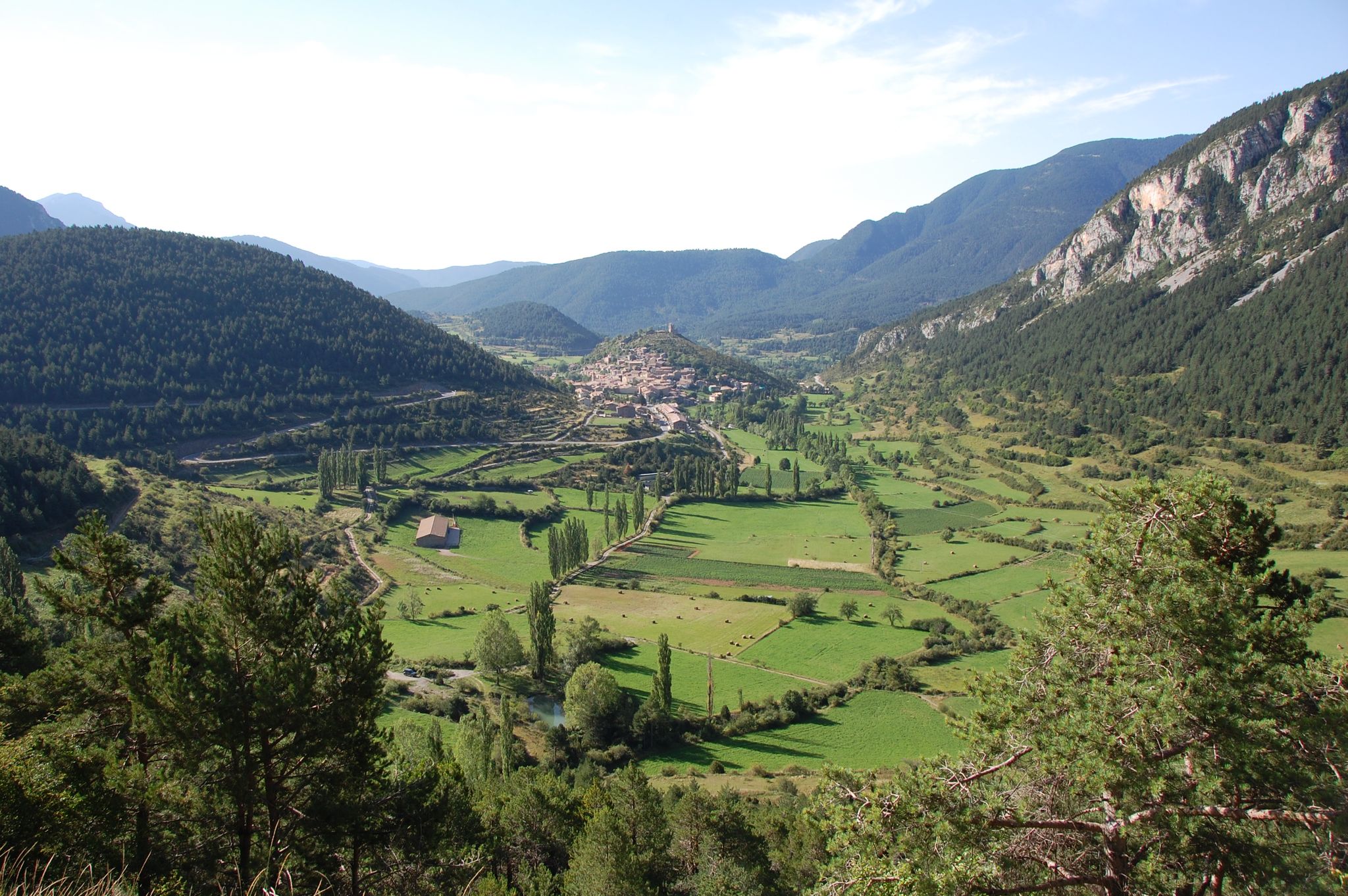
발세브레는 카디로 들어가는 관문 중 하나입니다. 매력적인 구시가지 외에도 이 마을은 아름다운 전망을 자랑합니다. 이곳이 수많은 하이킹 및 사이클링 루트의 출발점이라는 것은 놀라운 일이 아닙니다.
0
0
Coll de Pradell은 Berguedà에서 가장 힘들고 장엄한 오르막길 중 하나입니다. 이 도로는 숲, 초원, 그리고 한 세기 이상 이 지역의 역사를 새긴 강렬한 석탄 채굴 활동의 증거인 옛 광산 풍경 사이로 구불구불 이어집니다. 현재는 광산의 소음 대신 침묵이 자리 잡았지만, 그 풍경은 산업화된 과거의 흔적을 간직한 채 Pre-Pirineu 산맥의 멋진 전망으로 그 노력을 보상합니다.
0
0

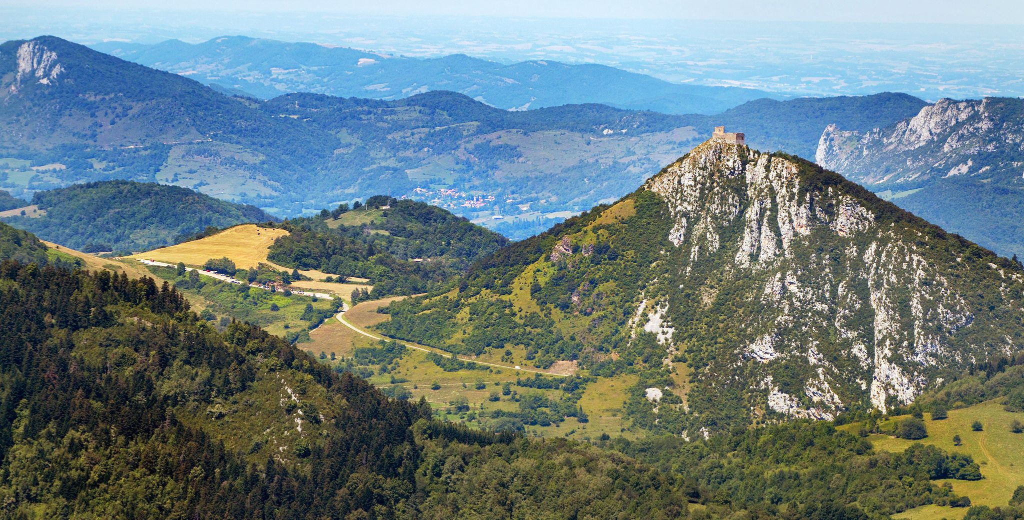
Stone town perched above the Cadí valley, with narrow streets, slate roofs and impressive views of Pedraforca. It maintains an authentic charm, far from mass tourism, and invites you to stroll around without rushing. By mountain bike, access from Gósol or Tuixent is demanding but spectacular, with tracks that wind through forests and ravines. Tip: stop at the viewpoint before entering the town — the views of Cadí are postcard-perfect — and secure your brakes well for the descent, which is fast and technical.
0
0
Sant Llorenç de Morunys is a town in the Solsonès region located at 925 metres above sea level, surrounded by the Port del Comte, Busa and Verd mountain ranges. It has a well-preserved medieval centre, with walls, cobbled streets and the 11th-century Romanesque church of Sant Llorenç, as the centre of the complex. It is a key point of passage and stop for mountain routes, cycle tours and crossings through the Pre-Pyrenees. The entrance and exit of the town can be done via roads with demanding slopes or forest tracks depending on the itinerary, but it is always worth stopping there to recover energy, fill up water bottles or take a quality break. A good place to charge batteries, both physical and e-bike.
1
0
Prat de Bacies is a grassy plateau located in the Port del Comte massif, between the municipalities of Odèn and La Coma i la Pedra, in Solsonès. With altitudes exceeding 2,000 meters, it is an open space, surrounded by black pine forests and reliefs of glacial origin such as sinkholes and depressions. The landscape is open, silent and with a feeling of spaciousness that is unusual in the Pre-Pyrenees. Access is via forest tracks that may have stony or eroded sections, especially during the rainy season. It is a good point to stop, observe and rest in an authentic mountain environment, away from crowded routes. If you do it with an e-bike, it is advisable to bring a full battery, as there are no services or assistance points in the area.
0
0

Stopping at the Hotel Fonts del Cardener for a coffee, a snack, or a chat is always a pleasure. The surroundings of the Vall de Lord are well worth the time.
0
0

Fresh water source in the town of Vallcebre, gateway to Cadí and start or passage of the peaks of Fumanya, Pradell or Peguera. Important for resupplying and filling water bottles. There are two bar-restaurants next to it.
0
0
New sculpture and tribute to the bike that has been promoted by the Regional Council, to give visibility to the importance of cycling in Berguedà. Now we have a new milestone to frame the challenge of crowning the Coll de Pradell, brutal!!
0
0
자주 묻는 질문
Berguedà(Lleida) 지역에는 교통량이 적은 그래블 바이크 트레일이 몇 개 있나요?
이 가이드에는 Berguedà(Lleida) 지역을 위한 교통량이 적은 그래블 바이크 트레일 4개가 자세히 설명되어 있습니다. 이 루트는 차량 통행이 없는 곳에서 도전적이고 몰입감 있는 경험을 제공하도록 설계되었습니다.
Berguedà의 교통량이 적은 그래블 루트에서는 어떤 종류의 지형을 예상할 수 있나요?
Berguedà(Lleida)의 교통량이 적은 그래블 루트는 주로 고도 상승과 기술적인 구간이 많은 거친 Alt Berguedà 지역을 통과합니다. 소나무와 너도밤나무 숲부터 고산 초원과 험준한 산까지 다양한 풍경을 만나게 되며, 끊임없이 변화하는 배경을 제공합니다. 이 지역은 다양한 지형으로 유명하며 그래블 라이더에게 진정한 도전을 선사합니다.
Berguedà(Lleida)에 교통량이 적은 순환형 그래블 루트가 있나요?
네, 이 가이드에 소개된 모든 교통량이 적은 그래블 루트는 순환형입니다. 예를 들어, la Coma i la Pedra에서 출발하는 Coll de Jou의 샘 – Coll de Jou 추로 가게 루프를 탐험할 수 있으며, 이는 아름다운 풍경을 가로지르는 보람 있는 루프 경험을 제공합니다.
Berguedà(Lleida)에서 그래블 바이크를 타기 가장 좋은 시기는 언제인가요?
Berguedà(Lleida)에서 그래블 바이크를 타기 가장 좋은 시기는 일반적으로 봄부터 가을까지입니다. 이 계절에는 날씨가 더 안정적이며 산길에는 보통 눈이 없습니다. Berguedà 남부(Baix Berguedà)는 연중 더 부드러운 그래블을 제공할 수 있지만, 이 교통량이 적은 트레일이 있는 Alt Berguedà의 도전적인 루트는 건조하고 온화한 조건에서 가장 잘 즐길 수 있습니다.
경험이 풍부한 라이더를 위한 도전적인 교통량이 적은 그래블 루트가 있나요?
물론입니다. 이 가이드의 모든 교통량이 적은 그래블 루트는 어렵다고 평가되어 상당한 도전을 추구하는 경험이 풍부한 라이더에게 적합합니다. 예를 들어, Sant Llorenç de Morunys에서 출발하는 Coll de Port – Coll de Jou 추로 가게 루프는 3,000미터 이상의 고도 상승을 가진 100km의 힘든 루트로, 고급 그래블 라이더에게 완벽합니다.
이 교통량이 적은 그래블 트레일을 따라 어떤 자연 명소를 볼 수 있나요?
Berguedà(Lleida)의 교통량이 적은 그래블 트레일은 멋진 자연 명소로 이어집니다. Pedraforca 스크램블과 장엄한 Pedraforca의 Pollegó Superior (2,506m)와 같은 상징적인 랜드마크를 만날 수 있습니다. 다른 하이라이트로는 고요한 Terrers 샘과 Coll de Josa (1620m) 및 La Mola 고개와 같은 다양한 산길이 있으며, 숨 막히는 경치를 제공합니다.
이 루트에는 특별한 관심 지점이나 전망대가 있나요?
네, 이 루트 중 다수는 놀라운 전망대와 관심 지점을 제공합니다. 예를 들어, Tuixent에서 출발하는 Josa de Cadí 전망 – Cornellana 루프는 Josa de Cadí 전망을 포함한 멋진 풍경을 제공합니다. 이 지역 자체는 Cadí-Moixeró 자연 공원 내의 극적인 풍경으로 유명하며, 수많은 파노라마 명소를 제공합니다.
이 가이드에서 가장 긴 교통량이 적은 그래블 루트는 무엇인가요?
이 가이드에서 가장 긴 교통량이 적은 그래블 루트는 100km가 넘는 Coll de Port – Coll de Jou 추로 가게 루프 (Sant Llorenç de Morunys 출발)입니다. 이 루트는 그래블 바이크로 긴 시간 동안 도전적인 라이딩을 원하는 사람들에게 이상적입니다.
더 짧지만 여전히 도전적인 교통량이 적은 그래블 옵션이 있나요?
네, 좀 더 짧지만 도전적인 라이딩을 원하신다면 Vallcebre에서 출발하는 Coll de la Trapa – Coll de Pradell 루프를 고려해 보세요. 이 루트는 약 26.6km의 상당한 고도 상승을 포함하며, 하루 종일의 긴 여정 없이도 힘든 경험을 제공합니다.
Berguedà(Lleida)가 교통량이 적은 그래블 바이크에 좋은 지역인 이유는 무엇인가요?
Berguedà(Lleida)는 특히 Alt Berguedà 지역의 광범위한 조용한 트랙 네트워크와 다양한 지형 덕분에 교통량이 적은 그래블 바이크에 탁월한 지역입니다. Cadí-Moixeró와 같은 자연 공원에 중점을 두고 있으며 인구가 적고 거친 풍경 덕분에 도로에서 벗어나 자연 속으로 들어가는 루트를 찾을 수 있으며, 평화롭고 도전적인 라이딩을 제공합니다.
이 트레일에서 예상되는 고도 변화는 어떤 종류인가요?
Berguedà(Lleida)의 교통량이 적은 그래블 트레일은 모두 어렵다고 평가되었기 때문에 상당한 고도 변화가 특징입니다. 700미터 이상의 고도 상승부터 3,000미터 이상의 고도 상승까지 다양한 루트에서 상당한 오르막과 내리막을 예상할 수 있으며, 힘든 운동과 보람 있는 경치를 제공합니다.
베르게다 주변에서 가장 인기 있는 명소


더 살펴보기
다른 지역의 최고의 그래블 라이딩를 살펴보세요.
