발베르데 데 알칼라 주변 최고의 교통량 없는 자전거 라이딩 코스
4.5
(95)
10,232
자전거 타는 사람
6
라이딩
Velilla De San Antonio 주변의 교통량이 적은 로드 사이클링 코스는 Vega del Jarama에 위치하며, 동남부 지역 공원의 일부로 사이클리스트에게 다양한 풍경을 제공합니다. 이 지역은 Jarama 강과 그 절벽, Velilla 호수, 그리고 로드 사이클링에 적합한 대부분 포장된 노면이 특징입니다. 이 코스들은 전용 도로와 자전거 차선을 활용하여 차량과의 접촉을 최소화하고 집중적인 사이클링 경험을 제공합니다.
Velilla De San Antonio 주변 최고의 교통량 적은 로드 사이클링 코스
- 가장 인기 있는 교통량이 적은 로드 사이클링 코스는 La Poveda에서 출발하는 Tajuña 그린웨이 루프로, 23.7마일(38.2km) 길이이며…
마지막 업데이트: 10월 5, 2026
4.8
(5)
170
자전거 타는 사람
54.4km
03:21
420m
420m
보통 도로 자전거 타기. 좋은 체력 필요. 투어 중 라이딩하기 어려운 비포장 구간이 있을 수 있음.
30
자전거 타는 사람
111km
05:30
1,270m
1,270m
어려운 도로 자전거 타기. 우수한 체력 필요. 지면 대부분이 잘 포장되어 있고 라이딩하기 쉬움.

15
자전거 타는 사람
48.7km
02:04
370m
370m
보통 도로 자전거 타기. 좋은 체력 필요. 지면 대부분이 잘 포장되어 있고 라이딩하기 쉬움.
6
자전거 타는 사람
27.2km
01:36
230m
230m
보통 도로 자전거 타기. 모든 체력 수준에 적합. 투어 중 라이딩하기 어려운 비포장 구간이 있을 수 있음.
4
자전거 타는 사람
26.2km
01:20
260m
260m
보통 도로 자전거 타기. 모든 체력 수준에 적합. 투어 중 라이딩하기 어려운 비포장 구간이 있을 수 있음.
투어 추천은 다른 사람들이 komoot에서 완료한 수천 개의 활동을 바탕으로 구성되어 있습니다.
오늘 무료 계정으로 시작하세요
다음 모험이 기다리고 있어요.
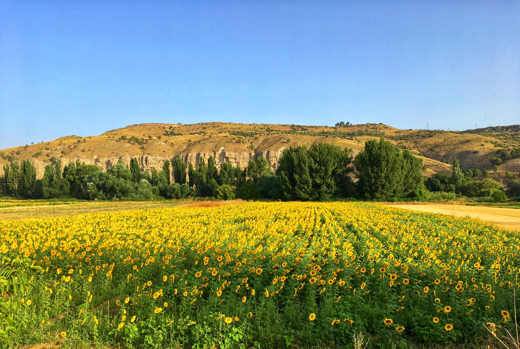
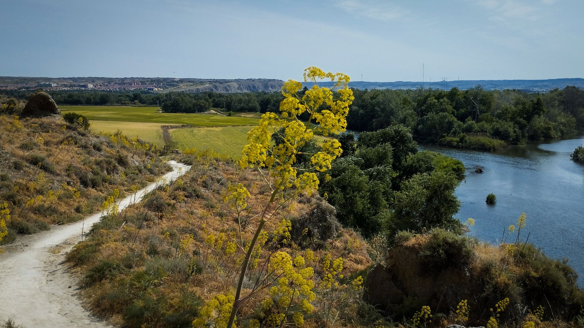



커뮤니티 팁

경로가 매우 아름다웠고 마음에 들었지만, 다리를 건너기 전 회사 때문에 약간 악취가 났습니다. 또한 길의 일부가 통나무와 자갈로 인해 손상되거나 막힌 것을 발견했습니다. 돌아오는 길을 끝내는 데 어려움을 겪었습니다. 하지만 전반적으로는 경로에 만족했습니다.
0
0

The Campillo Lagoon is located in Rivas Vaciamadrid, within the Southeast Regional Park, about 20 km from Madrid. It is a protected natural area, ideal for peaceful walks and outdoor activities. Origin: Artificial, formed in the 1960s and 70s after the extraction of aggregates in the Jarama River basin. Water from the aquifer filled the excavations and over time became a wetland with great biodiversity.
6
0

The Campillo Lagoon is located in the Southeast Regional Park, in the Spanish municipality of Rivas-Vaciamadrid, in the Community of Madrid. Its origin lies in the former gravel quarrying that took place in the Jarama River basin during the 1960s and 70s. Excavation went below the water table, and when quarrying ceased and the surrounding area was restored, this lagoon emerged, measuring approximately 4 kilometers in diameter and covering 35 hectares. After El Porcal Lagoon, it is the largest lagoon in the Southeast Regional Park. A peaceful place to relax, with numerous benches.
2
1

Longing for times past and the living history of the steam railway.
0
0

Loeches has been the residence of nobles and influential houses of the Spanish bourgeoisie for the last five hundred years. In the 16th century it was named a town by order of Charles I and in 1633 it became the domain of the Count-Duke of Olivares, favourite of Philip IV, providing the town with an important historical, cultural and monumental heritage also linked to the House of Alba. The Monastery of the Immaculate Conception, known as the “Convento Grande”, houses the Pantheon of the House of Alba, built in Carrara marble. In the same square is the Monastery of San Ignacio Mártir, the “Convento Chico”, a 17th-century Carmelite convent of Baroque architecture famous for the artisanal jams made by the nuns. A good example of a Renaissance construction is the 16th-century church of the Assumption. The Plaza de la Villa is the meeting point and social centre of Loeches. Surrounding it is the historic centre, declared a Site of Cultural Interest, with cobbled streets and traditional houses. The Tourist Office is located in the Monastery of the Immaculate Conception, which offers a guide service, tourist information and is the starting point for hiking routes.
0
0
The unique urban style of Nuevo Baztán maintains the original Baroque model from the beginning of the 18th century, designed by José de Churriguera by order of Juan de Goyeneche, who had permission from Charles II to build glass, paper and textile factories on Spanish territory. The Navarrese businessman was originally from Arizkun, in the Baztán Valley, but spent time in Madrid because he had other properties and professional relations with the Court. He chose the site of Madrid's Alcarria to found an industrial and rural centre in honour of his homeland and commissioned the Madrid architect to build a glass factory, a farming village of half a thousand inhabitants, a palace, a monumental church and gardens with centuries-old pines and elms. The town preserves cobbled streets, stone squares, rural buildings from the time of its foundation, between 1709 and 1713, and palace gardens, a beautiful heritage complex declared a Historic-Artistic Monument in 1941 and a Site of Cultural Interest in 2000.
0
0
This lagoon is artificial in origin, created from the extraction of aggregates in the Jarama River basin during the 1960s and 1970s. It is an ideal place to enjoy nature, go hiking or cycling. The lagoon is approximately 5.5 km long and its average depth is 6 metres, although in some areas it can reach 20 metres. In addition, it has a natural resources interpretation centre that organises workshops and educational activities.
4
0
Rest area and fountain to quench your thirst.
0
0
자주 묻는 질문
벨리야 데 산 안토니오 주변에 교통량이 적은 로드 사이클링 코스는 몇 개나 있나요?
벨리야 데 산 안토니오는 전용 교통량 없는 로드 사이클링 코스를 제공하며, 이 가이드에는 신중하게 선택된 4가지 옵션이 포함되어 있습니다. 동남부 지역 공원의 일부인 더 넓은 지역에는 최소 148개의 사이클링 코스가 있으며, 그중 상당수는 차량과의 접촉을 최소화하도록 설계되어 사이클리스트에게 다양한 선택지를 제공합니다.
초보자나 쉬운 라이딩을 원하는 사람에게 적합한 코스가 있나요?
네, 이 가이드에는 교통량이 없는 쉬운 로드 사이클링 코스가 최소 하나 이상 포함되어 있습니다. 예를 들어, 리바스 우르바니사시오네스 출발 로드바이크 루프는 약 25킬로미터의 짧은 거리와 최소한의 고도 상승으로 편안한 라이딩에 완벽한 훌륭한 옵션입니다.
이 교통량 없는 로드 사이클링 코스에서 어떤 종류의 지형을 예상할 수 있나요?
벨리야 데 산 안토니오 주변의 교통량 없는 로드 사이클링 코스는 주로 포장된 노면을 특징으로 하며 로드 바이크에 이상적입니다. 이 지역은 강바닥을 따라 이어지는 평지 구간부터 완만한 오르막까지 다양한 지형을 제공하여 동남부 지역 공원 내에서 다양한 사이클링 선호도에 맞는 좋은 조합을 제공합니다.
이 코스를 따라 어떤 자연 경관이나 랜드마크를 볼 수 있나요?
코스는 종종 경치 좋은 베가 델 하라마와 동남부 지역 공원을 통과합니다. 독특한 지질학적 볼거리를 제공하는 하라마 절벽과 리바스 절벽과 같은 중요한 자연 경관을 만날 수 있습니다. 이 지역은 또한 캄피요 석호 및 미랄리오 석호와 같은 습지로 유명하며, 조류 관찰과 강변 숲을 즐기기에 좋습니다.
교통량이 없는 순환형 로드 사이클링 코스가 있나요?
네, 벨리야 데 산 안토니오 주변의 교통량 없는 로드 사이클링 코스 중 상당수는 순환형으로, 같은 지점에서 시작하고 끝낼 수 있습니다. 한 예로 라 포베다 출발 타후냐 그린웨이 루프가 있으며, 다양한 풍경을 가로지르는 38킬로미터의 적당한 라이딩을 제공합니다.
벨리야 데 산 안토니오에서 사이클링하기 가장 좋은 시기는 언제인가요?
봄과 가을은 일반적으로 벨리야 데 산 안토니오에서 로드 사이클링하기에 가장 좋은 시기입니다. 날씨가 온화하고 동남부 지역 공원의 자연 풍경이 특히 생기 넘칩니다. 여름은 더울 수 있으므로, 해당 월에 사이클링하는 경우 이른 아침이나 늦은 오후 라이딩을 권장합니다.
농경지나 들판을 통과하는 코스가 있나요?
네, 일부 코스는 베가 델 하라마의 특징인 농경지를 통과합니다. 리바스 우르바니사시오네스 출발 카사 에울로히오 밀밭 – 세로 데 라 카바냐 루프는 지역 밀밭과 시골 풍경을 감상할 수 있는 훌륭한 예입니다.
다른 사이클리스트들은 벨리야 데 산 안토니오에서 로드 사이클링하는 것에 대해 무엇을 가장 즐기나요?
komoot 커뮤니티는 이 지역의 사이클링 경험을 높이 평가하며, 150개 이상의 리뷰에서 평균 5점 만점에 4.39점을 받았습니다. 사이클리스트들은 종종 코스의 조용하고 교통이 없는 특성, 동남부 지역 공원의 아름다운 자연 환경, 그리고 즐거운 라이딩을 가능하게 하는 잘 관리된 길을 칭찬합니다.
근처 마을과 연결되는 코스를 찾을 수 있나요?
물론입니다. 이 지역의 코스 네트워크는 벨리야 데 산 안토니오를 근처 마을과 연결하는 라이딩을 가능하게 합니다. 예를 들어, 토레스 데 라 알라메다 출발 토레스 데 라 알라메다 교회 – 코르파 대형 분수 루프는 토레스 데 라 알라메다 주변 지역을 탐험하는 적당한 코스로, 지역 마을과 그 주변을 엿볼 수 있습니다.
이 교통량 없는 로드 사이클링 코스를 위한 주차 공간은 어디에서 찾을 수 있나요?
많은 코스가 리바스 우르바니사시오네스 또는 라 포베다와 같은 마을 및 주거 단지에서 시작하거나 통과하며, 일반적으로 공공 주차 공간이 있습니다. 라이딩 전에 가장 편리한 주차 옵션을 위해 특정 출발 지점을 확인하는 것이 좋습니다.
교통량 없는 로드 사이클링 코스를 따라 전망대가 있나요?
네, 하라마 절벽을 포함한 이 지역의 다양한 지형은 여러 경치 좋은 전망 기회를 제공합니다. 리바스 절벽에서 바라본 하라마 강과 만사나레스 강 합류 지점 전망과 같은 하이라이트를 찾을 수 있으며, 광활한 풍경을 감상할 수 있습니다.
발베르데 데 알칼라 주변에서 가장 인기 있는 명소


더 살펴보기
다른 지역의 최고의 로드 사이클링 경로를 살펴보세요.
