3의 세느강 자연 보호 구역가지 명소 & 주요 장소
세느강 자연 보호 구역에는 둘러볼 만한 장소가 많답니다. 하이킹 또는 사이클링을 좋아한다면 세느강 자연 보호 구역에 숨겨진 3
가지 보석을 만날 수 있을 거예요. 이 지역의 주요 명소를 살펴보면서 다음 모험을 계획해보세요.
마지막 업데이트: 9월 13, 2026

퐁 드 노르망디는 856미터 길이의 사장교입니다.
하이라이트 • 기타
번역자 Google •
팁에 의해

이런 장소를 발견하려면 지금 가입하세요
최고의 싱글 트랙, 봉우리 및 다양한 흥미로운 야외 장소에 대한 추천을 받아보세요.
자연 보호구역 안내소
하이라이트 • 전망대
Here you indeed have a beautiful view of …
번역자 Google •
팁에 의해

Pont de Normandie 자전거 도로
하이라이트 (구간) • 자전거 도로
번역자 Google •
팁에 의해

하구 자연 보호구역 트레일
하이라이트 • 트레일
You can take it by bike (gravel or mountain bike recommended) or on foot (good waterproof shoes recommended).
번역자 Google •
팁에 의해

무료로 가입하여 세느강 자연 보호 구역 주변의 더 많은 명소를 발견하세요.
이미 komoot 계정이 있나요?
오늘 무료 계정으로 시작하세요
다음 모험이 기다리고 있어요.

커뮤니티 팁

약 1km 동안 일정한 6%의 오르막이 있고, 반대편에는 약 1km 동안 6%의 내리막이 있습니다. 그리고 다리의 건축은 인상적이며, 날씨가 좋을 때의 전망은 훌륭합니다. 자전거 도로가 있다는 사실에 매우 놀랐습니다. 왜냐하면 자전거 도로는 폭이 약 1~1.2m에 불과하고, 시속 80~90km로 쌩쌩 달리는 자동차 및 트럭 교통과 아스팔트 위의 흰색 선으로만 분리되어 있기 때문입니다. 절대 자전거 타는 즐거움이 아닙니다. 그리고 때로는 휘청거리게 만들 수 있는 상당히 강한 바람 때문에 완전히 안전하지도 않습니다. 자전거 도로는 정말 위험합니다. 그 옆에는 거의 같은 폭의 보행자 도로도 있지만, (적어도) 연석으로 차도와 분리되어 있습니다. 다리를 건너는 것은 (틀림없이) 모든 자전거 여행의 하이라이트가 될 것이지만, 빠르게 흐르는 교통량 옆의 믿을 수 없을 정도로 좁은 공간은 진정한 즐거움을 주지 못합니다.
1
1

The cycle path leads over the bridge and is free for bicycles, but with trucks and cars rushing past, some of which drive very close to you, it takes some getting used to.
2
0


Faced with the rapid increase in road traffic, the idea of a second bridge connecting the two banks of the Seine was born in 1972. The Normandy Bridge, which was opened on 26 January 1995, is a true engineering feat: 2141.25 m long, 23.60 m wide, pylons 214 m high, 7 years of work... and 10 million hours of work.
2
0


Bike path well away from road traffic that crosses the industrial and port area. The Normandy bridge deserves the same thing but unfortunately it is not yet the case
0
0

The Pont de Normandie (English: Normandy Bridge) is a cable-stayed bridge that has the longest span in Europe at 856 m. It crosses the Seine estuary and connects Le Havre (then Upper Normandy) on the right bank to the north with Honfleur (then Lower Normandy) on the left bank to the south. The bridge was built between 1988 and 1994 and was inaugurated on January 20, 1995. The 23.60 m wide bridge has a total length of 2141.25 m. It consists of the southern approach bridges with twelve spans and spans of 96.00 m + 9×43.50 m + 32.5 m + 3×70 m + 27.75 m (= 547.75 m), the northern approach bridges with 16 spans and spans of 96.00 m + 14×43.50 m + 32.50 m (= 737.50 m) and the 856 m large one main opening. The 3 m high superstructure of the main opening consists of a 624 m long central steel section, which is followed on both sides by 116 m long prestressed concrete sections. The pylons of the cable-stayed bridge are 203 m high and each carry 2×23 cables. The passage height for ships is 52 m at the highest known water level. Source: de.wikipedia.org/wiki/Pont_de_Normandie
3
0

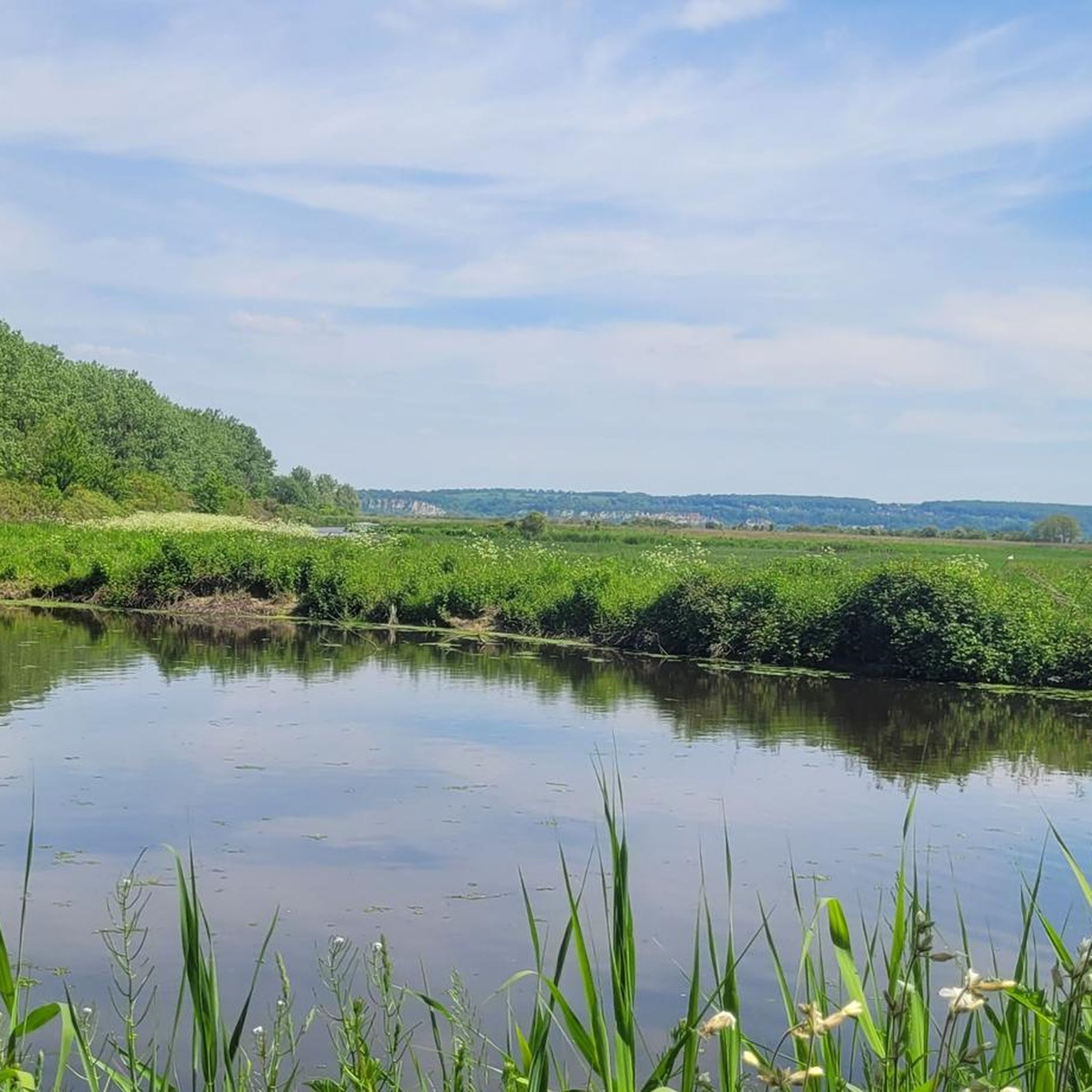
This path allows you to enter the heart of the natural reserve of the estuary, between marshes and reedbeds. You can take it by bike (gravel or mountain bike recommended) or on foot (good waterproof shoes recommended).
2
0
세느강 자연 보호 구역 주변에서 가장 인기 있는 경로


더 살펴보기
찾고 있는 하이라이트를 아직 못 찾으셨나요? 다른 지역의 주요 명소 가이드를 확인해보세요:
