발세레스에서 가장 멋진 3개의 산길
발세레스에서 가장 멋진 산길을 아래에서 살펴보세요. 풍경을 감상하기에도 좋고, 오르막길/내리막길을 따라 걷기에도 좋은 곳이랍니다. 커뮤니티가 특별 도움을 통해 공유한 콘텐츠인 만큼 믿을 수 있는 정보이니 마음에 드는 산길이 있다면 바로 다음 모험 계획에 추가해서 바로 방문해보세요.
마지막 업데이트: 10월 27, 2026


이런 장소를 발견하려면 지금 가입하세요
최고의 싱글 트랙, 봉우리 및 다양한 흥미로운 야외 장소에 대한 추천을 받아보세요.

Col du Villard
하이라이트 • 산악 고개
번역자 Google •
팁에 의해

오늘 무료 계정으로 시작하세요
다음 모험이 기다리고 있어요.

커뮤니티 팁


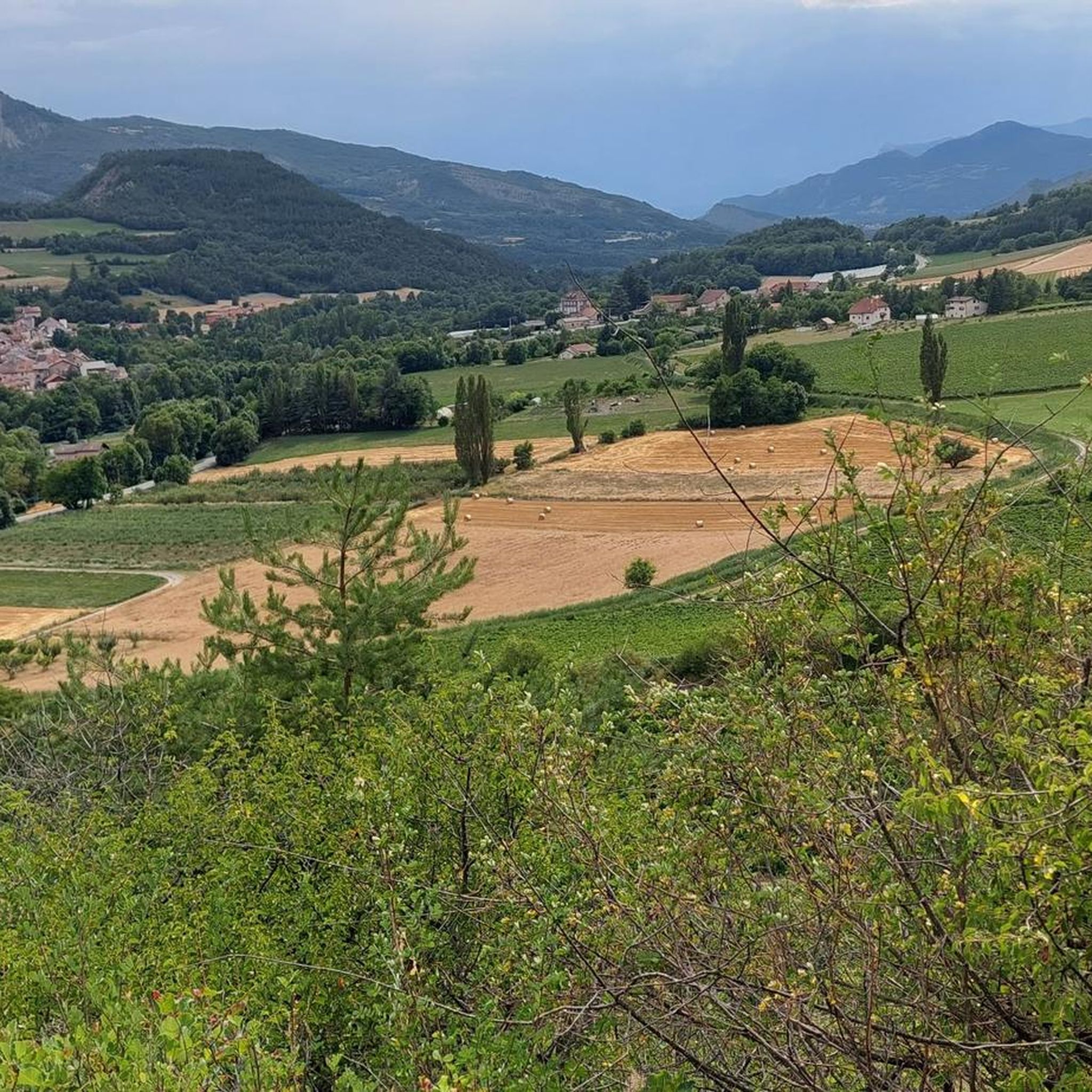
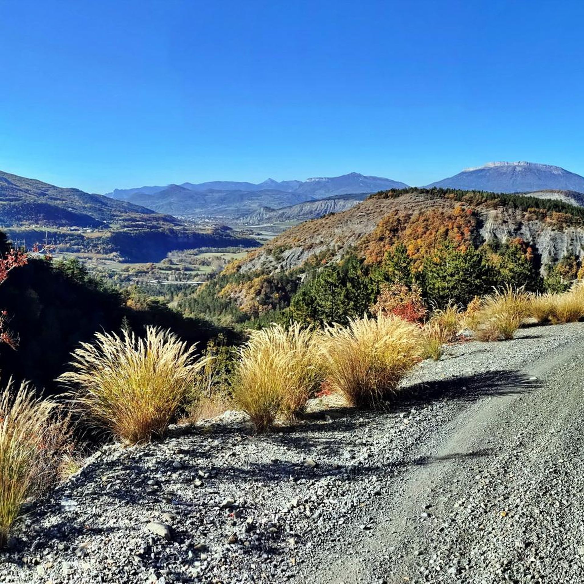
The shorter and less difficult part of the pass, watch out for the gravel on the descent, magnificent shaded landscape towards Notre Dame du Laus
0
0

Connecting the Gapençais and the Durance valley, the Lebraut pass is a magnificent viewpoint over the Serre-Ponçon lake. Small roads that are as discreet as they are panoramic provide access to the heart of resplendent nature.
0
0

Col du Villard, at 1039 meters above sea level, which delimits the municipalities of Sigoyer and Pelleautier. At the foot of the Céuse mountains.
1
0

The Col du Tourrond from Jarjayes is 3.5 km long with an average gradient of 4.5%, however there is a downhill part in the middle. The last section of this climb has inclines of 8-9%.
1
0
A pleasant climb that offers a breathtaking view of the Lac de Serre-Ponçon below. The climb is in two parts with a short one kilometer descent in the middle which reduces the average gradient. The climb is ten kilometers long with an average gradient of 5%.
2
1

발세레스 주변에서 가장 인기 있는 명소


더 살펴보기
이 가이드를 통해 더 많은 장대한 산악 통과를 확인해보세요 발세레스 주변:
