바라티에에서 가장 멋진 8개의 산길
바라티에에서 가장 멋진 산길을 아래에서 살펴보세요. 풍경을 감상하기에도 좋고, 오르막길/내리막길을 따라 걷기에도 좋은 곳이랍니다. 커뮤니티가 특별 도움을 통해 공유한 콘텐츠인 만큼 믿을 수 있는 정보이니 마음에 드는 산길이 있다면 바로 다음 모험 계획에 추가해서 바로 방문해보세요.
마지막 업데이트: 8월 27, 2026


이런 장소를 발견하려면 지금 가입하세요
최고의 싱글 트랙, 봉우리 및 다양한 흥미로운 야외 장소에 대한 추천을 받아보세요.
무료 회원 가입
파르파용 터널 자갈길 내리막길
하이라이트 (구간) • 트레일
번역자 Google •
팁에 의해

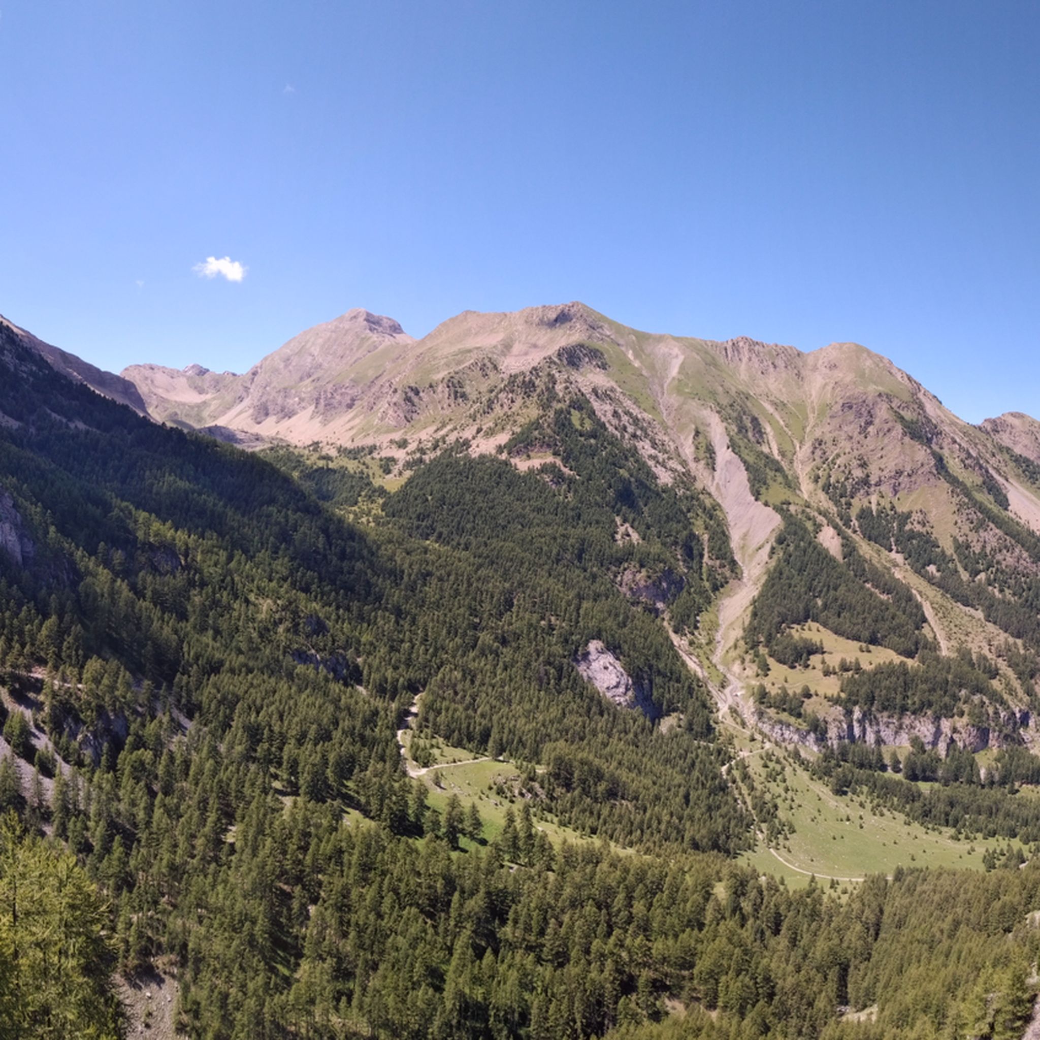
픽 드 로피용, 콜 드 소플리치, 그리고 로셰 데 카이
하이라이트 • 정상
번역자 Google •
팁에 의해

프랑스 알프스의 구불구불한 자갈 오르막길
하이라이트 • 등반
팁에 의해

오늘 무료 계정으로 시작하세요
다음 모험이 기다리고 있어요.
로그인 또는 가입하기




커뮤니티 팁

주의!!! 파르파이용 터널은 심각한 손상, 부분 붕괴 및 산사태로 인해 모든 통행에 공식적으로 폐쇄되었습니다. 정상 터널은 입구에 영구적으로 콘크리트 블록으로 막혀 있어, 콜 뒤 파르파이용을 통과하는 경로는 양방향 모두 막다른 길이 되었습니다.
5
0

Here the asphalt road ends and you can no longer continue on the BDC.
18
0

The 6 km approach by car does not pass for all vehicles, which is also a great “filter” in the middle of the summer season where we only encountered 2 people on the Ubaye side (and 2 on the Les Orres side). The view at the top of the Peak is incredible. On the other hand, the descent is endless. VisoRando classifies it as difficult.
0
0
Tunnel is at the moment not passable. It collapsed in the middle and the portale on the side of les pras is has a lot of rocks in front of it. Wait till or if the maintance will be done.
8
0

Very rolling track to climb or descend the Parpaillon tunnel. I recommend going up via Condamine and down via Crévoux because it is less rocky on the Crévoux side to go down. Either way, the views are breathtaking and you'll want to stop and enjoy the scenery.
0
0

Beautiful finish with an average of more than 8% over 2.5 km
0
0

Col du Parpaillon from Crevoux is a climb in the Serre Ponçon region. It has a length of 12 kilometers and an ascent of 989 vertical meters with an average gradient of 8.2%, which implies a difficulty level of 1,210. The top of the ascent is located at 2,628 meters above sea level.
1
1

Very cool ascent. Hard for gravel at some points, the path is wide but it's not well mantained so it has loose rocks and big bumps. Under 42 tires might not be enough.
1
0
바라티에 주변에서 가장 인기 있는 명소


더 살펴보기
이 가이드를 통해 더 많은 장대한 산악 통과를 확인해보세요 바라티에 주변:
