크롯트에서 가장 멋진 4개의 산길
크롯트에서 가장 멋진 산길을 아래에서 살펴보세요. 풍경을 감상하기에도 좋고, 오르막길/내리막길을 따라 걷기에도 좋은 곳이랍니다. 커뮤니티가 특별 도움을 통해 공유한 콘텐츠인 만큼 믿을 수 있는 정보이니 마음에 드는 산길이 있다면 바로 다음 모험 계획에 추가해서 바로 방문해보세요.
마지막 업데이트: 10월 27, 2026


이런 장소를 발견하려면 지금 가입하세요
최고의 싱글 트랙, 봉우리 및 다양한 흥미로운 야외 장소에 대한 추천을 받아보세요.

콜 생 장 (1332m)
하이라이트 • 산악 고개
번역자 Google •
팁에 의해
브레슈 드 샤브리에르
하이라이트 • 산악 고개
번역자 Google •
팁에 의해

무료로 가입하여 크롯트 주변의 더 많은 산악 고개를 발견하세요.
이미 komoot 계정이 있나요?
오늘 무료 계정으로 시작하세요
다음 모험이 기다리고 있어요.




커뮤니티 팁

Completely false description, probably a mistake in location. We are here in the Alpes de Haute Provence. Larches and stone pines, but no umbrella pines. But above all, it is strictly forbidden to swim in the Col Bas lakes (see Prefectural Biotope Protection Order) and also prohibited from leaving mountain bike trails or marked trails.
1
0

The climb is very demanding, you have to pay attention to the asphalt which is not in good condition on both sides. The view of the lake is magnificent.
18
0

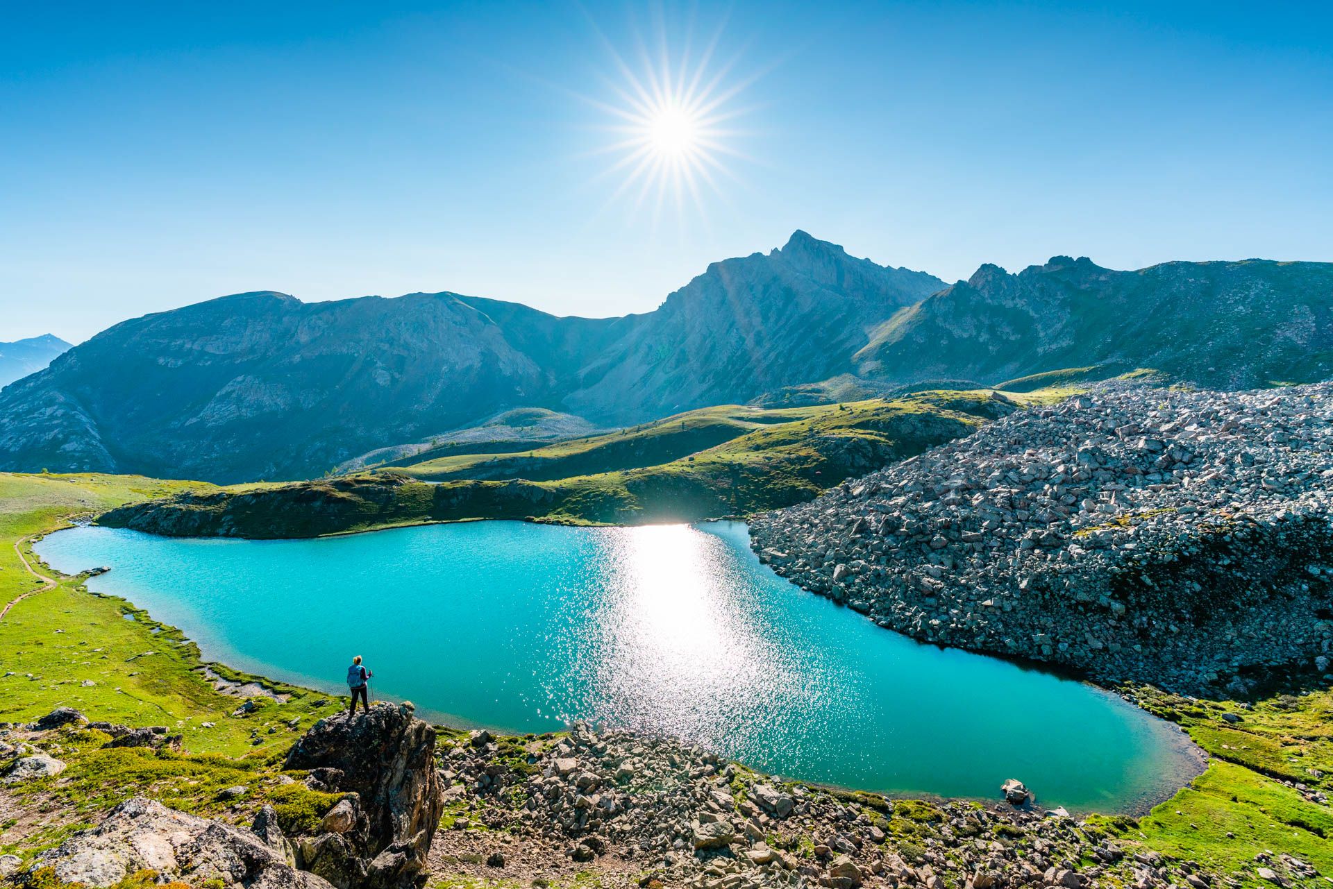
Nestled between the Tête du Vallon du Loup and the Savernes peak, the Col Bas culminates at an altitude of 2,115 meters. It opens the way to the lakes of the same name located a little further below.
1
0
Connecting the Gapençais and the Durance valley, the Lebraut pass is a magnificent viewpoint over the Serre-Ponçon lake. Small roads that are as discreet as they are panoramic provide access to the heart of resplendent nature.
0
0

Culminating at 2,280 meters above sea level, the Chabrières breche offers a striking perspective on the surrounding mountains as well as the Serre-Ponçon lake. This technical part requires having your feet on.
0
0

La Ferrière에서 출발하는 El Col Bas는 Alpes de la Haute Provence 지역의 오르막길입니다. 길이는 1.7킬로미터이고 수직 고도 상승은 124미터이며 평균 경사는 7.2%로 난이도 110에 해당합니다. 오르막길 정상은 해발 1199미터에 위치해 있습니다. 아름다운 낙엽송과 소나무 숲을 통과하는 El Col Bas까지의 멋지고 힘든 오르막길입니다. 풍경은 놀랍고, 더 높은 곳에 있는 호수를 감상하기 위해 올라갈 시간이 있을 것입니다. 오르막길은 다소 가파를 수 있지만, 식물과 동물이 풍부한 뛰어난 풍경을 위해 그럴 만한 가치가 있습니다.
1
0
크롯트 주변에서 가장 인기 있는 명소


더 살펴보기
이 가이드를 통해 더 많은 장대한 산악 통과를 확인해보세요 크롯트 주변:
