오버탈에서 가장 멋진 20개의 천연기념물
천연기념물을 방문하여 오버탈의 아름다운 풍경을 만나보세요. 오버탈에 있는 20
개의 천연기념물과 상세 정보를 살펴본 후에 방문하고 싶은 천연기념물을 다음 모험 계획에 추가해보세요!
마지막 업데이트: 9월 14, 2026


이런 장소를 발견하려면 지금 가입하세요
최고의 싱글 트랙, 봉우리 및 다양한 흥미로운 야외 장소에 대한 추천을 받아보세요.
보스탈제 호수 조각의 길에 있는 리베스트론
하이라이트 • 기념물
번역자 Google •
팁에 의해





커뮤니티 팁

The Love Throne is an impressive yellow sandstone sculpture located on the Sculpture Road from St. Wendel to Bostalsee. Children love to climb onto the throne and enjoy the view.
7
0


𝐃𝐞𝐫 𝐁𝐞𝐫𝐠𝐦𝐚𝐧𝐧𝐬𝐛𝐫𝐮𝐧𝐧𝐞𝐧 The first evidence of coal mining in this area comes from 1780. The coal was close to the surface and could be extracted in open-cast mining. From 1820, four pits (called Prinzengrube) in the Tiefenbachtal were also mined in tunnels. The concession holders were the brothers Karl and Philipp Cetto from Langenfelderhof, today Wendelinushof. During this period there are talk of 136 employees who extracted almost 14,000 quintals of hard coal. In 1860 the operation was stopped because larger coal seams had meanwhile been discovered on the Saar and Blies. The miners reached the tunnel via the “miners' path”, which is now part of the Tiefenbach path. On their way they passed the source in the Tiefenbachtal and filled up their drinking water here. This spring is still known today as the miner's well. Source: Text information board
9
0
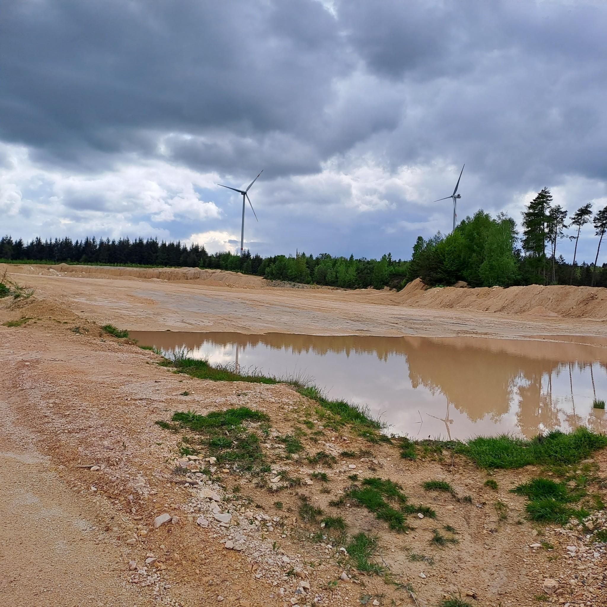
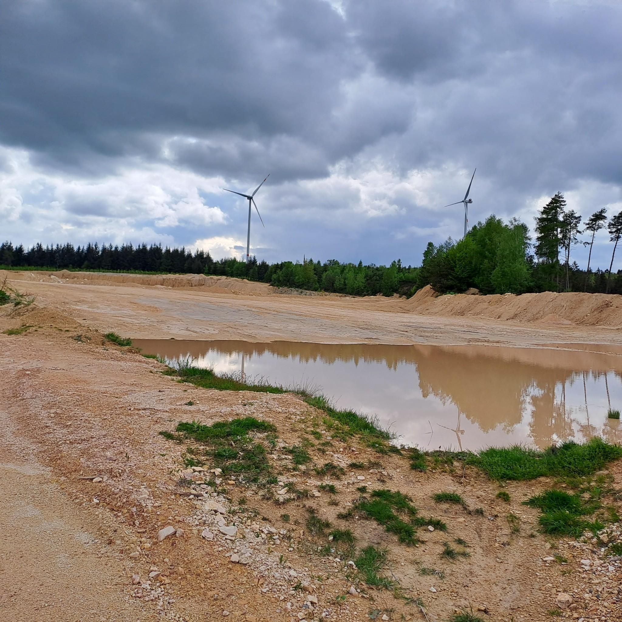
보센베르크의 이 부분은 여러 단단한 돌 채석장이 있었기 때문에 브루흐발트(Bruchwald)라고 불립니다. 티펜바흐파드(Tiefenbachpfad)가 지나가는 채석장은 현재의 삼림 소유지인 "우어바일러 에르벤(Urweiler Erben)"에 속해 있었습니다. 최초의 알려진 임대 계약은 19세기 중반에 이루어졌습니다. 이곳에서는 1975년까지 돌을 채석했습니다. 암석층에서 돌을 분리하는 작업은 석공의 임무였습니다. 20세기까지 이것은 쐐기, 망치, 흑색 화약을 사용하여 수행되는 극도로 힘들고 위험한 작업이었습니다. 우어바일러(Urweiler)의 일용직 노동자와 농부들이 보조 작업자로 고용되었으며, 이들은 봄부터 가을까지 운송 작업을 통해 수입을 보충했습니다. 겨울에는 눈, 얼음, 미끄러짐 위험 때문에 채석장에서 일하는 것이 불가능했습니다. 출처: 정보판 텍스트
7
0
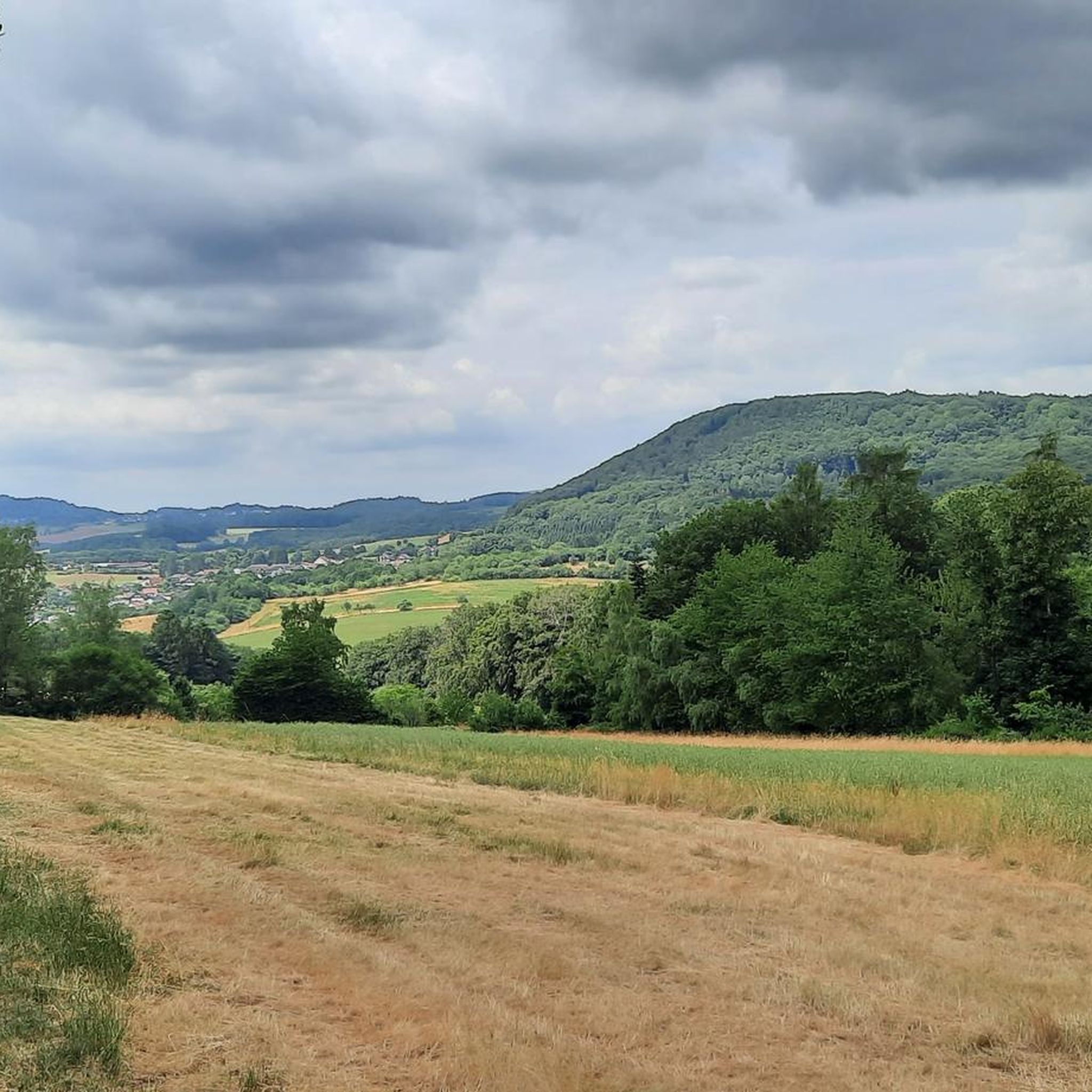
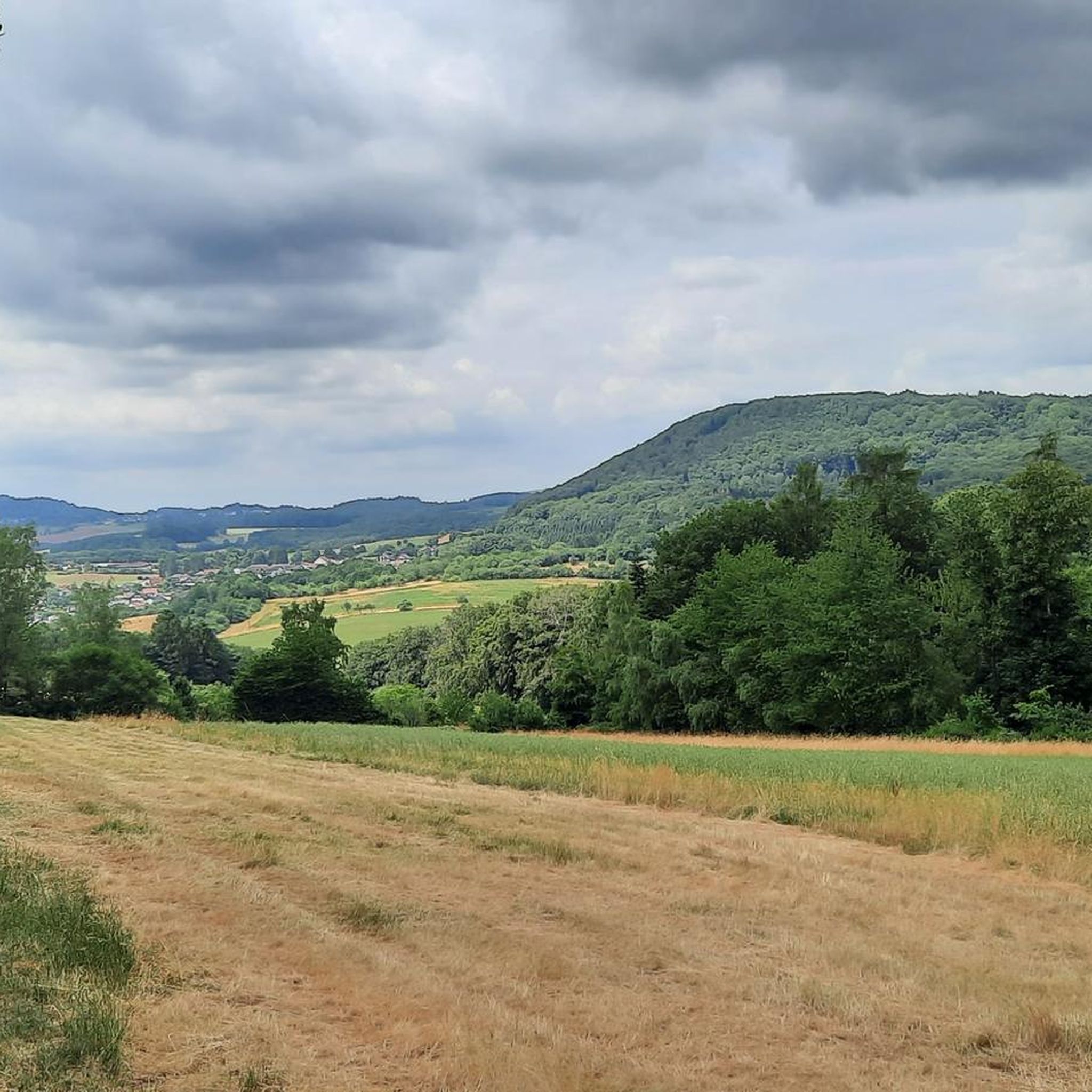
𝐊𝐮𝐫𝐳𝐛𝐞𝐬𝐜𝐡𝐫𝐞𝐢𝐛𝐮𝐧𝐠 𝐓𝐢𝐞𝐟𝐞𝐧𝐛𝐚𝐜𝐡-𝐏𝐟𝐚𝐝 The Tiefenbach path is around 15 km long and leads around the Bosenberg in St Wendel. It is characterized by many small valleys that are crossed by rustic footbridges. At the starting point is the Wendelinushof, the former farm of the Steyler missionaries, which is still managed today. Here products from the region are offered in the local goods market and in the restaurant. The Leitersweiler beeches, about 250 to 300 years old giant trees, are a very special natural monument. They line the path into the Tiefenbachtal and offer a great view of Leitersweiler and the surrounding Hunsrück heights. Clear water still bubbles in the miner's fountain today. At the Fledermauskopf you can enjoy wonderful views of the surroundings of the Sankt Wendel region. In the distance, the 568 m high Schaumberg stands out, one of the highest peaks in the region. The view also wanders over the mountain tops of the eastern Saarland and opens up into the Ostertal. After the hike, the medieval old town of St Wendel invites you to linger. It is also worth visiting the late Gothic basilica from the 14th century, in which the bones of St. Wendelinus are buried in a high grave at the altar. Source: Text information board Starting point: Wendelinushof forest car park Route length: 15.3 km Elevation gain: 542 m Difficulty level: medium Walking time: 4 - 5 hours Recommended walking direction: clockwise 𝐖𝐞𝐠𝐛𝐞𝐬𝐜𝐡𝐫𝐞𝐢𝐛𝐮𝐧𝐠 https://www.urlaub.saarland/Media/Touren/Tiefenbach-Pfad
9
0

At this point / I would like to quickly / say something about the source: And to quote the incomparable humorist Heinz Erhardt (1909 - 1979), who was known to a wide audience for his wit and "Another poem", with a short four-line verse: "There is certainly a lot of beauty in the element, the wet. Because you can drink the water. But you can also - not." (H.Erhardt)
8
0

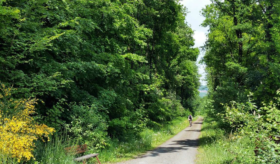
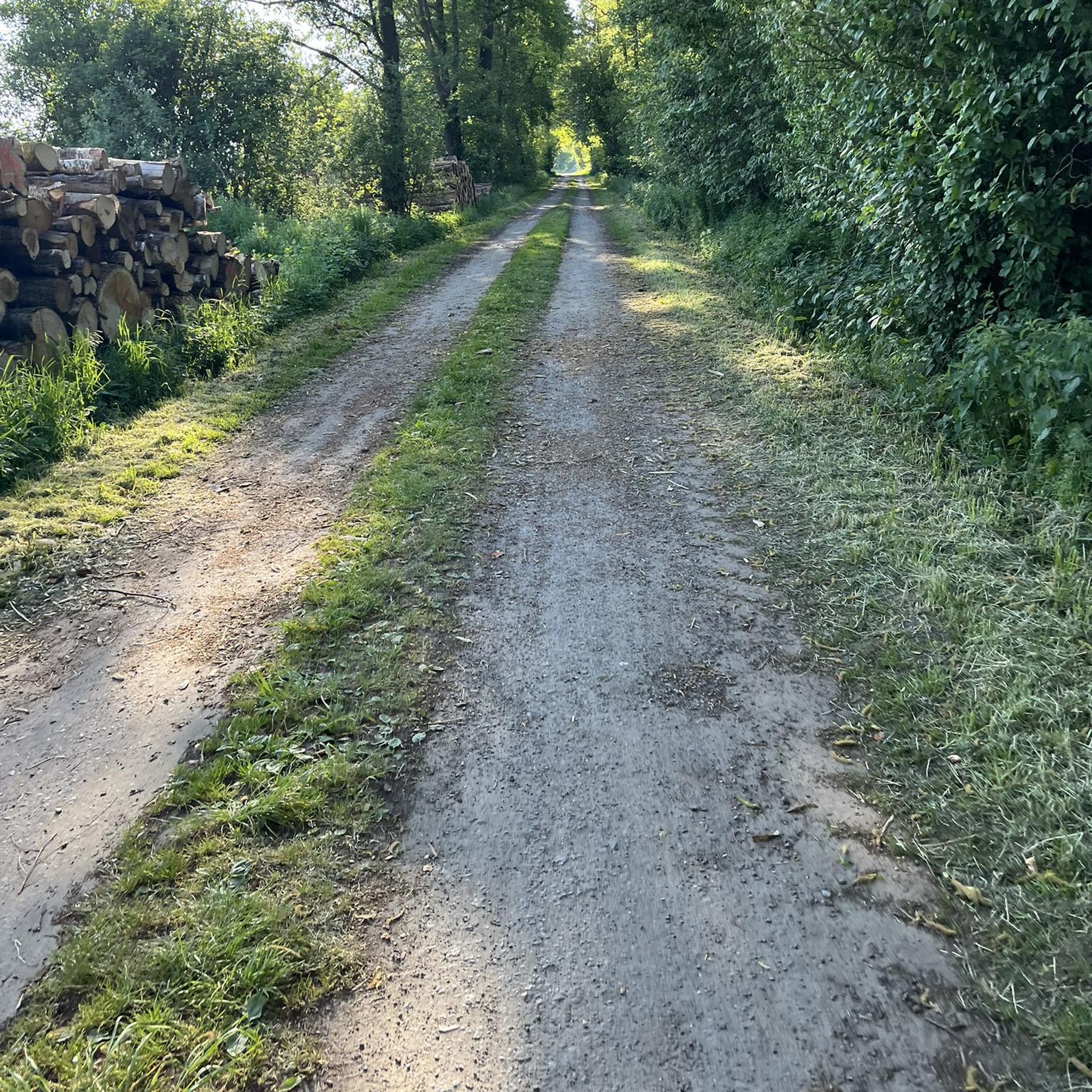
As a biker, you should behave calmly and carefully! The animals will thank you.
3
0

Stones were broken here until 1975. This part of the Bosenberg is called Bruchwald because there were several hard stone quarries here.
2
0


