논바일러에서 가장 멋진 20개의 천연기념물
천연기념물을 방문하여 논바일러의 아름다운 풍경을 만나보세요. 논바일러에 있는 20
개의 천연기념물과 상세 정보를 살펴본 후에 방문하고 싶은 천연기념물을 다음 모험 계획에 추가해보세요!
마지막 업데이트: 8월 4, 2026
돌베르크 — 자르란트에서 가장 높은 지점
하이라이트 • 정상
The incredible 'silence' of nature and the fairytale character of the immediate surroundings make this summit - which …
번역자 Google •
팁에 의해

켈트족 환상벽(훈넨링) 오첸하우젠
하이라이트 (구간) • 역사적 장소
Even today the following …
번역자 Google •
팁에 의해
이런 장소를 발견하려면 지금 가입하세요
최고의 싱글 트랙, 봉우리 및 다양한 흥미로운 야외 장소에 대한 추천을 받아보세요.
무료 회원 가입


무료로 가입하여 논바일러 주변의 더 많은 자연 기념물을 발견하세요.
무료 회원 가입
이미 komoot 계정이 있나요?
오늘 무료 계정으로 시작하세요
다음 모험이 기다리고 있어요.
로그인 또는 가입하기


논바일러 주변의 다른 모험


커뮤니티 팁

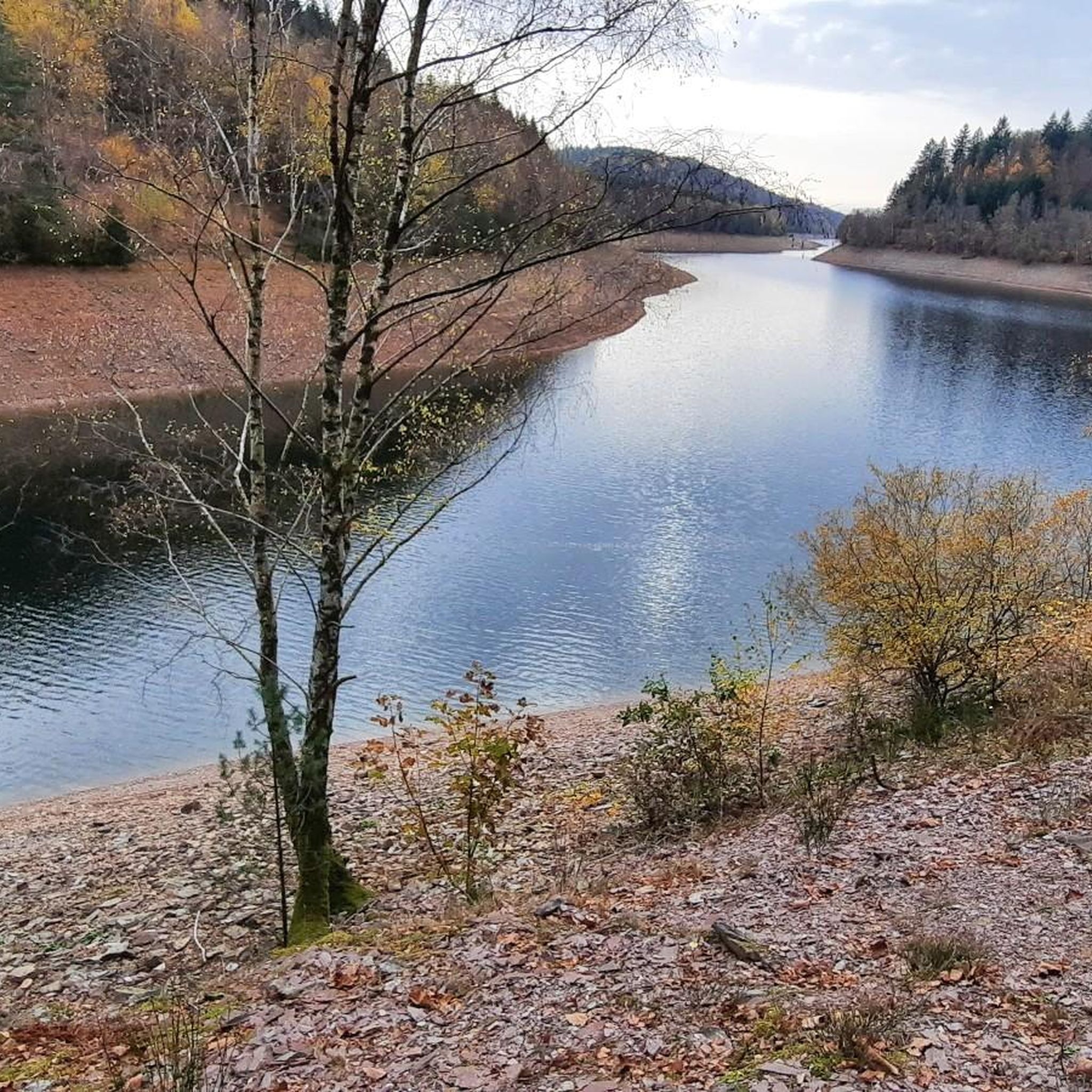
Reservoir, which can be comfortably walked around on wide paths (also suitable for strollers), beautiful views along the route included as well as the opportunity to stop off at Hau's am See (it is particularly nice on the terrace directly on the lake) and pedal boat rental included.
1
0

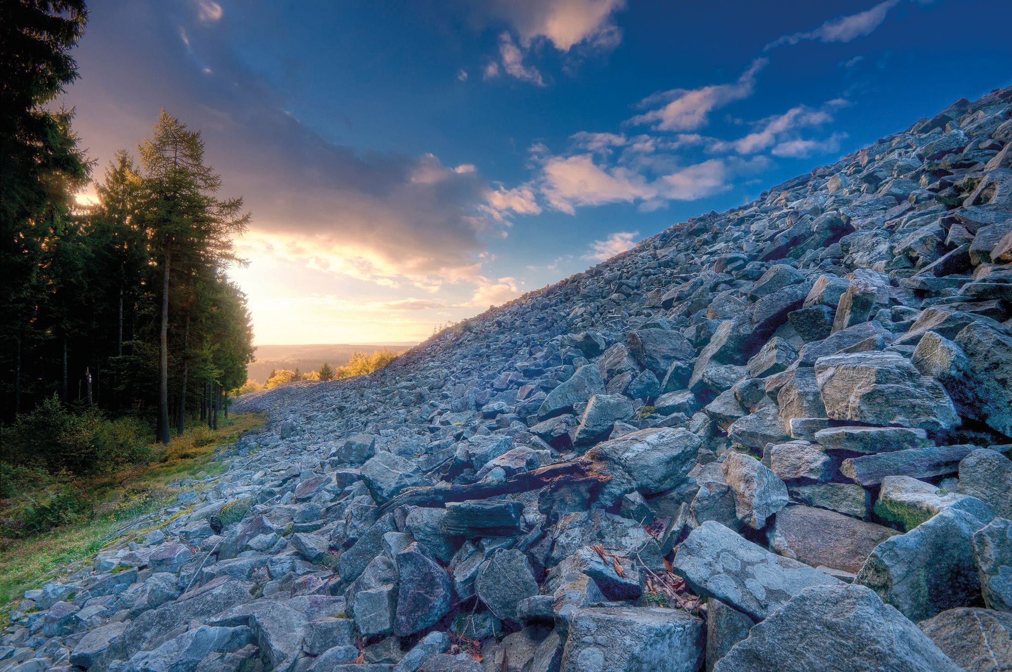
There is still a Celtic ring wall in Otzenhausen today, which is considered the best-preserved Celtic monument in Germany. The complex, also known as the “Hunnenring”, is 40 m thick and still reaches a height of 12 m today. Archaeological excavations are still active here. In the Celtic Park, at the foot of the Otzenhausen ring wall, a “real” Celtic village is currently being built, just as it might have looked 2,000 years ago within the huge fortress at the top of the Dollberg. The reconstruction of an authentic Celtic settlement is an essential part of the emerging Celtic park. When completed, the settlement will consist of a total of 10 residential, craft and storage buildings, the architecture and construction of which are based on historical findings and models. Preparatory work for the construction of the fourth and final construction group, consisting of a residential and a craftsman's house, recently began. (https://www.urlaub.saarland/Media/Attractions/Keltische-Ringwall-Otzenhausen#/article/4ccd7ea8-a3f4-4c69-b4ea-78c2475e7077)
6
0

The Dollberg is 695 m above sea level. NN is the highest mountain in Saarland and belongs to one of the prominent mountain ranges in the high forest. These stretch as ridges running from southwest to northeast from the Saar to the Rhine. The ridges consist of quartzite, which in turn has its origin in sandstone. This was finally transformed into quartzite by pressure and high temperatures during the folding of the mountains in the Devonian. Due to its hardness, it is comparatively weather-resistant. As the surrounding, softer rock was eroded, the quartzite deposits were preserved as ridges. A beautiful hiking destination and, as the highest "mountain" in Saarland, of course also a highlight here in the region. https://www.naturpark.org/natur-und-kultur/natur/geologie/geopunkte-devon-permokarbon-nonnweiler-und-zuesch/dollberg
8
0

Traveling to all 16 peaks in the federal states, it is very interesting to see how differently the states deal with their highest peaks. Perhaps the term "natural" fits quite well here
10
0

A quiet place early in the morning with a lot of waterfowl.
1
0


𝐆𝐞𝐬𝐜𝐡𝐢𝐜𝐡𝐭𝐞 𝐍𝐨𝐬𝐰𝐞𝐧𝐝𝐞𝐥𝐞𝐫 𝐒𝐞𝐞 The lake has a size of 6.6 ha. It was dammed in 1979 and is fed by the water of the Wahnbach. The Wahnbach, which rises near the Pascalhütte on the state border of Saarland and Rhineland-Palatinate near Steinberg, flows north of Büschfeld into the Prims. The reservoir is the heart of the 20-hectare leisure center of the same name. Due to the strong commitment of the local associations, which are organized in the local history and tourist association, catering by the lake and a well-filled calendar of events are guaranteed in the summer season. Source: text information board
12
1
Dam Nonnweiler The Nonnweiler dam with a capacity of around 20 million cubic meters is a water protection area and drinking water reservoir. The dam was built in two phases from 1973 to 1975 and from 1977 to 1982. Overburden from the construction of the A1 was used for the dam. With a volume of 20 million m³ and a surface area of approx. 1km², the dam is the largest Water reservoirs in Saarland and Rhineland-Palatinate. https://www.nonnweiler.de/Tourism/sightseeing/talsperre-nonnweiler/
12
1


