경로

플래너

기능

업데이트

App

로그인 또는 가입

앱 다운로드

로그인 또는 가입

경로
Places to see
Natural Monuments
독일
바이에른
스와비아
아우크스부르크

비베르바흐

비베르바흐‬에서 가장 멋진 ‪20‬개의 천연기념물


천연기념물을 방문하여 비베르바흐의 아름다운 풍경을 만나보세요. 비베르바흐에 있는 20
개의 천연기념물과 상세 정보를 살펴본 후에 방문하고 싶은 천연기념물을 다음 모험 계획에 추가해보세요!

마지막 업데이트: 7월 21, 2026

에글레제

하이라이트 • 호수

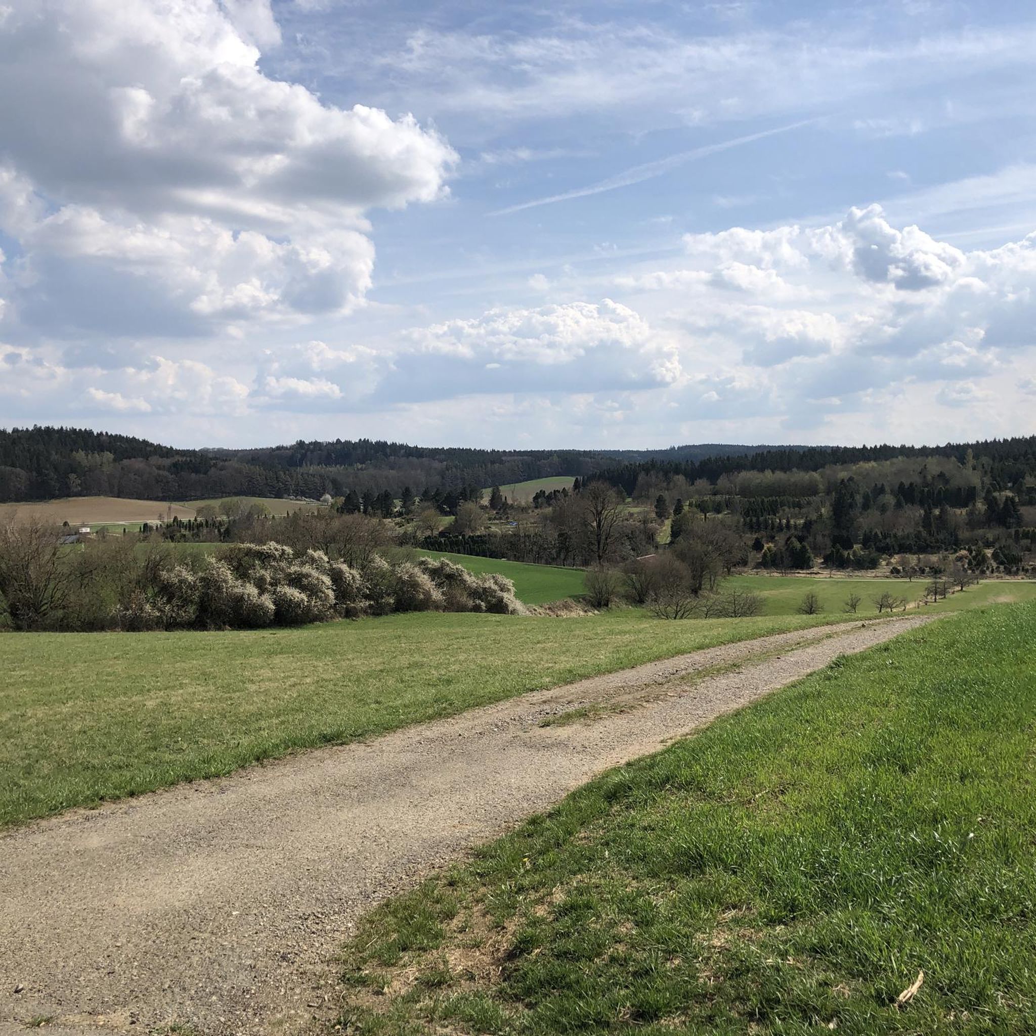
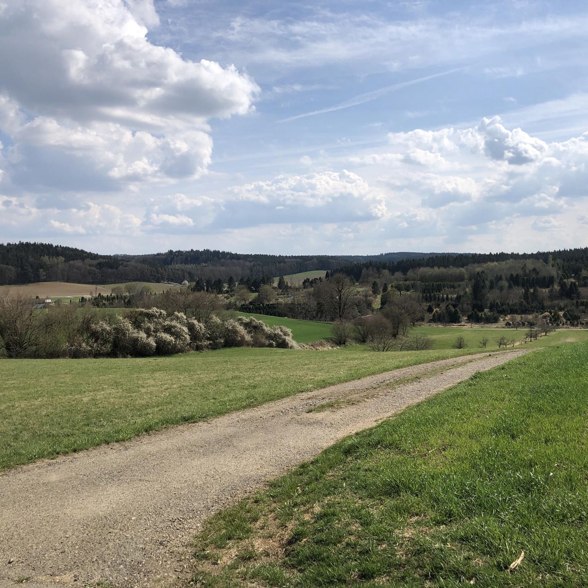
A great lake in the forest 😊

번역자 Google •

에 의해

라이딩 보기

휴대폰으로 전송

저장

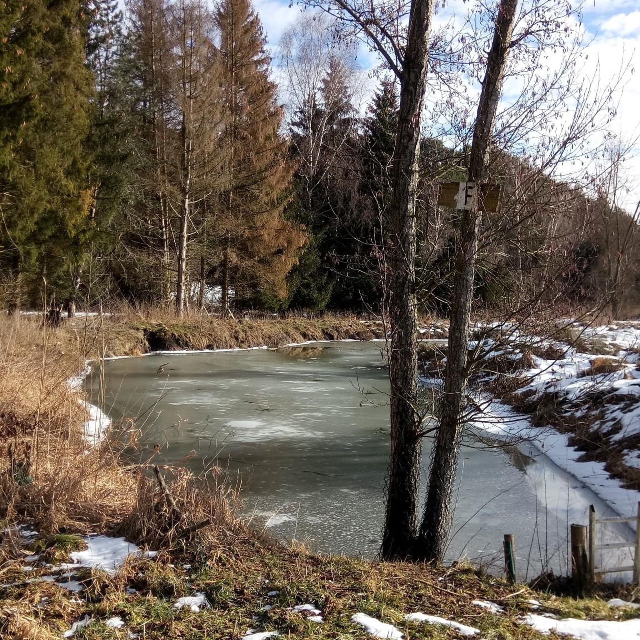
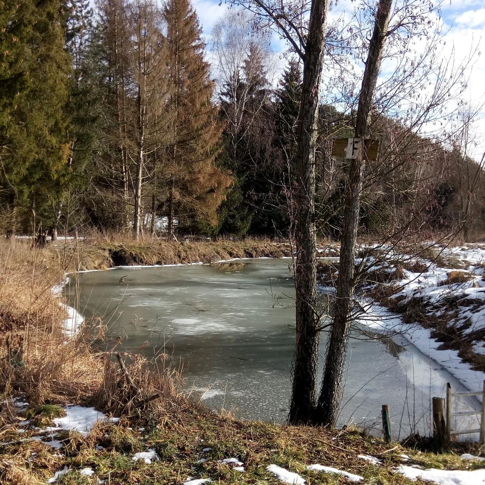
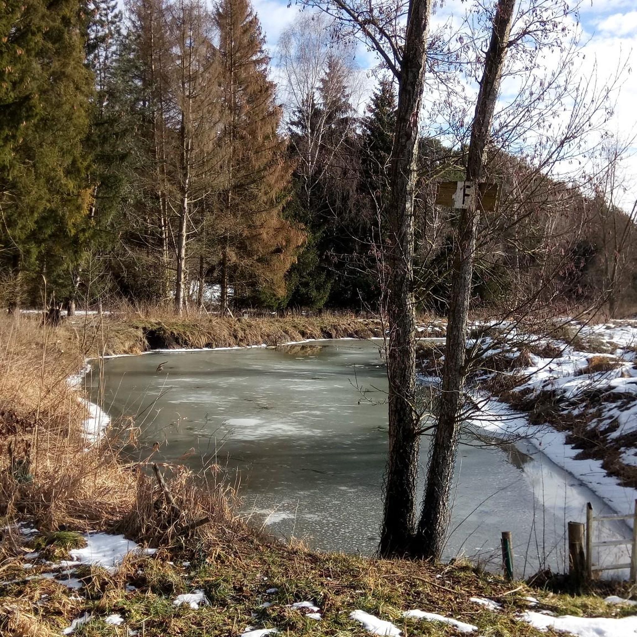
얼음 연못

하이라이트 • 호수

A resting bench with a very deep seat is located between the ice and cheese pond and invites you to linger and reflect.
The ice pond got its name because …

번역자 Google •

에 의해

저장

이런 장소를 발견하려면 지금 가입하세요

최고의 싱글 트랙, 봉우리 및 다양한 흥미로운 야외 장소에 대한 추천을 받아보세요.

무료 회원 가입

랜드아트 트레일 본슈텐

하이라이트 (구간) • 트레일

This path follows the listening tour bayerisch-schwaben.de/a-lauschtour-landart-bonstetten. The path is well signposted, and the listening tour leads and accompanies you in an entertaining and interesting way from station to station.

번역자 Google •

에 의해

저장

샤르도네바흐

하이라이트 • 강

The 8 km long Branntweinbach had its source in what is now the Hammerschmiede area. It ran in a northerly direction through fields and flowed into the Lech opposite Stettenhofen.

번역자 Google •

에 의해

저장

눈의 성 성벽

하이라이트 (구간) • 역사적 장소

The ringfort of Schneeburg is not the remains of a castle, but rather an archaeological monument that only reveals itself upon closer inspection. There were never any towers or stone …

번역자 Google •

에 의해

저장

무료로 가입하여 비베르바흐 주변의 더 많은 자연 기념물을 발견하세요.

무료 회원 가입

이미 komoot 계정이 있나요?

오늘 무료 계정으로 시작하세요

다음 모험이 기다리고 있어요.

로그인 또는 가입하기

비베르바흐 주변 인기 장소

이리스타일 이미지 화를 생성을

비베르바흐 로드 사이클링 경로

비베르바흐 사이클링

비베르바흐 하이킹

비베르바흐 러닝 트레일

비베르바흐 주변 그래블 라이딩

비베르바흐 MTB 트레일

비베르바흐 주변의 다른 모험

이리스타일 이미지 화를 생성을

하이킹 컬렉션 에 의해

Angelina Kuhlmann

커뮤니티 팁

Joschi
6월 16, 2026, Ringwall Schneeburg

웰덴(아우크스부르크 군, 바이에른)의 슈네부르크는 9세기에서 10세기에 헝가리 침입에 대항하기 위한 피난처로 사용되었던 초기 중세 시대의 고리 모양 성채입니다. 이 유적지는 웰덴에서 남쪽으로 약 1.5km 떨어진 라우겐탈 계곡이 내려다보이는 돌출된 지형 위에 위치해 있습니다. 이곳은 주민들을 보호하고 군대를 집결시키는 중요한 방어 시설이었습니다. 성벽은 나무와 흙으로 만들어진 구조물과 해자로 구성되었으며, 동쪽 면은 마자르 기마병에 대항하기 위한 전형적인 계단식 방어 구조를 특징으로 했습니다. 오늘날에는 흙으로 된 구조물과 해자가 지상 유적으로 보존되어 있으며, 루트비히 강호퍼 순환 하이킹 코스가 이 지역을 통과합니다.

번역: Google

0

0

The ringfort of Schneeburg is not the remains of a castle, but rather an archaeological monument that only reveals itself upon closer inspection. There were never any towers or stone walls here – the fortification consisted of earthworks, wooden palisades, and timber structures. Today, primarily ditches, ramparts, and the shape of the site are visible in the landscape. Historians assume that the oldest traces of Schneeburg date back to the Bronze Age. In the Middle Ages, it offered the local population protection from Hungarian invasions.

번역: Google

1

0

LandArt: Nature as an art space LandArt uses natural materials from the environment that are left to the forces of nature and transience. In this way, works of art merge with their surroundings, become part of nature and ultimately return to it. The internationally active artist Hama Lohrmann created nine works of art in the Augsburg - Western Forests Nature Park, near 86456 Bonstetten. These works are connected via the LandArt Bonstetten Art Trail, a 6 km long circular tour through hilly terrain. The trail begins and ends in the town of Bonstetten. LandArt Bonstetten Art Trail https://www.augsburg-tourismus.de/de/landart/landart-kunstpfad-bonstetten There is an audio tour of the LandArt Bonstetten Art Trail in a free app called "Bayerisch-Schwaben-Lauschtour". The route and objects are discussed there. Information about the app and various listening tours; Link: https://www.bayerisch-schwaben.de/region-highlights/lauschtouren Sustainable excursion: On the LandArt art trail in Bonstetten https://lifeguide-augsburg.de/de/magazin/nachhaltiger-ausflug-dem-landart-kunstpfad-bonstetten

번역: Google

0

0

Heiko
11월 3, 2024, Chardonnaybach

The Chardonnaybach is an artificially created stream in the "Lechauen Nord" landscape conservation area near Gersthofen, north of Augsburg. It was created in 1996 to re-irrigate the Lech floodplains east of the Lech and thus revitalize valuable wetland habitats. Origin and course: As there was no natural water available on the east side of the Lech, a pipeline (culvert) was laid under the Lech to take water from the Lech side canal to the west. The water pressure now allows one cubic meter of water per second to reach the east bank. There it emerges in an artificial spring and initially feeds the newly created Chardonnaybach, which flows into the Branntweinbach after 850 meters. Ecological significance: The re-irrigation allowed wetland habitats to develop again in the previously dried-up Lech floodplains. The presence of the beaver in particular has contributed to the return of amphibians, dragonflies, reptiles and typical marsh plants. However, the activities of the beaver also mean that pedestrian paths are permanently flooded and the water no longer follows the planned course. Nature conservation is currently trying to specifically direct the activities of the beaver so that the water flows through again. Leisure and recreation: The Chardonnaybach and its surroundings are popular destinations for hikers and nature lovers. A nature trail, known as the “Jungle Trail in the Lechauen Nord”, leads through parts of the biotope and offers informative panels on the flora and fauna of the region. Guided tours are offered by the Augsburg Environmental Station. Getting there: The source of the Chardonnaybach is located east of the Lech near the Gersthofen tennis club. The stream runs directly under the high-voltage power line in the “Lechauen Nord” landscape conservation area. The Chardonnaybach is a successful example of renaturation measures that bring both ecological benefits and create recreational opportunities for the population.

번역: Google

1

0

labyrinth of life

번역: Google

0

0

LandArt Station

0

0

A beautiful landscape and now and then a nature-related art object.

번역: Google

0

0

Marcus
10월 31, 2022, Eisweiher

Very nice pond and super nice for a rest. Greetings Marcus

번역: Google

2

0

비베르바흐 주변에서 가장 인기 있는 경로

비베르바흐 로드 사이클링 경로

비베르바흐 주변에서 가장 인기 있는 명소

Places to see

Store rating

komoot 모바일 앱으로 영감을 받아보세요

무료 komoot 계정로 끝없는 야외 모험을 손쉽게 찾고, 맞춤 설정하며 길안내할 수 있어요.

또는

지금 komoot에 가입하세요

Store rating

더 살펴보기

비베르바흐 주변의 최고의 동굴을 찾기 위해 이 가이드를 확인해보세요:

쾨니히스브룬보빙겐베링겐그로사이팅겐오베로트마르하우젠쿠첸하우젠게서르트하우젠슈타트베르겐호르가우클라이나이팅겐디도르프노이사스게르스토펜아이스테텐슈바브뮌헨랑게링겐그라벤딩켈셰르벤미정피샤흐우스터스바흐가블링겐힐텐핑겐아델스리드랑바이드 암 레흐믹하우젠Stadtwald Augsburg셰르슈테텐주스마르하우젠미텔노이프나흐클로스터레흐펠트Trinkwasserschutzgebiet Augsburger Stadtwald랑엔네프나흐에머자커알텐뮌스터헤레츠리드웰든Haunstetter Wald라우허 숲워커트쇼펜슈멜러포스트마이팅겐퀼렌탈알만쇼펜베스텐도르프엘가우노르덴도르프티에하우텐지벤티슈발트

근처 어드벤처 가이드

랑바이드 암 레흐 즐길거리

background

새로운 정복을 위한 준비를 하세요

무료로 가입하기

탐험하기
경로경로 플래너기능하이킹MTB 트레일로드 사이클링 경로바이크패킹사이트맵
앱 다운로드
소셜 미디어에서 팔로우하기

© komoot GmbH

개인 정보 보호 정책