비스바움에서 가장 멋진 20개의 천연기념물
천연기념물을 방문하여 비스바움의 아름다운 풍경을 만나보세요. 비스바움에 있는 20
개의 천연기념물과 상세 정보를 살펴본 후에 방문하고 싶은 천연기념물을 다음 모험 계획에 추가해보세요!
마지막 업데이트: 10월 11, 2026

Nohner Mühle의 암벽
하이라이트 • 자연 기념물
번역자 Google •
팁에 의해

이런 장소를 발견하려면 지금 가입하세요
최고의 싱글 트랙, 봉우리 및 다양한 흥미로운 야외 장소에 대한 추천을 받아보세요.
칼바리엔베르크 트레일 (알렌도르프)
하이라이트 • 트레일
번역자 Google •
팁에 의해

칼바리엔베르크에서 바라본 알렌도르프와 람퍼트스탈 전망
하이라이트 • 전망대
번역자 Google •
팁에 의해


오늘 무료 계정으로 시작하세요
다음 모험이 기다리고 있어요.



커뮤니티 팁


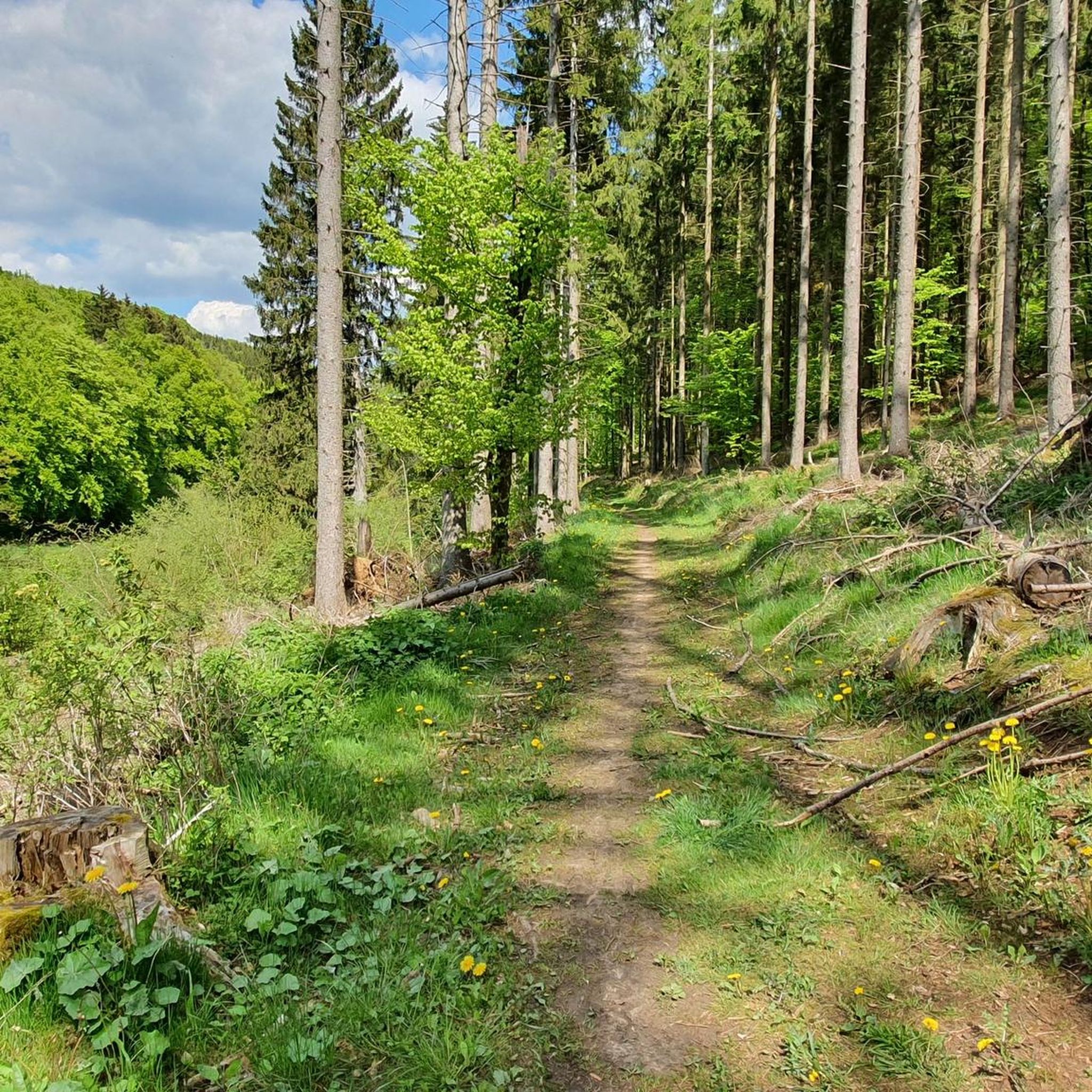
화산 아이펠 지역 너머로도 알려진 인기 있는 관광지인 드라이뮐렌 폭포로 가는 길에, 등산객은 물 위에 솟아 있는 석회암 바위 지형을 조금 미리 보게 됩니다. 오늘 길에서 누군가 말했듯이, 그것은 슈바벤 알프를 조금 닮았습니다.
2
0

The karstified limestone cliffs are the first highlight on the path from the parking lot to the waterfall. Here, the stream has carved its way through the limestone, creating the rock face. The limestone originated as a deposit of dead marine organisms on the seabed of a shallow ocean that covered this area millions of years ago. Later, the ground was uplifted by tectonic processes. Limestone reacts with acid and is therefore dissolved by rainwater and surface water, which is slightly carbonated due to the CO2 in the air. This process creates weathered formations and caves. The formation of the Dreimühlen Waterfall is also related to this process.
5
0


For information about the limestone cliffs, see e.g. https://kreis-ahrweiler.de/kvar/VT/hjb1960/hjb1960.54.htm
3
0

Imposing limestone wall behind the Nohner Mill
2
0

The so-called Dreimühlen waterfall is also known as the Nohn waterfall. The name Nohn waterfall comes from the waterfall's proximity to the town of Nohn. The houses on the outskirts of Nohn are only a few hundred meters above the waterfall. Most people talk about the Dreimühlen waterfall, however. The name Dreimühlen comes from a former castle called Dreimühlen. Today, however, only the remains of the walls are said to remain. We looked for the former castle on our trip, but couldn't find anything of it. The waterfall in the Eifel is located between the towns of Üxheim, Kerpen and Nohn. Although the other large towns in the Eifel are not located here, many visitors come here. Some of them travel especially to visit the waterfall. The Dreimühlen waterfall is one of the most visited Eifel attractions. Almost every holidaymaker in the area comes to the waterfall at least once during their Eifel vacation. In addition, many day tourists travel from outside, making it the most visited waterfall in the Eifel. They all want to see the unique natural wonder.
18
1

Nice entrance to hiking tours to the waterfall
2
0
비스바움 주변에서 가장 인기 있는 명소


더 살펴보기
비스바움 주변의 최고의 동굴을 찾기 위해 이 가이드를 확인해보세요:
