글로터탈에서 가장 멋진 20개의 천연기념물
천연기념물을 방문하여 글로터탈의 아름다운 풍경을 만나보세요. 글로터탈에 있는 20
개의 천연기념물과 상세 정보를 살펴본 후에 방문하고 싶은 천연기념물을 다음 모험 계획에 추가해보세요!
마지막 업데이트: 10월 24, 2026

칸델 정상 및 전망대
하이라이트 • 정상
번역문 보기
팁에 의해

이런 장소를 발견하려면 지금 가입하세요
최고의 싱글 트랙, 봉우리 및 다양한 흥미로운 야외 장소에 대한 추천을 받아보세요.


Kybfelsen에서의 전망
하이라이트 • 전망대
번역자 Google •
팁에 의해

무료로 가입하여 글로터탈 주변의 더 많은 자연 기념물을 발견하세요.
이미 komoot 계정이 있나요?
오늘 무료 계정으로 시작하세요
다음 모험이 기다리고 있어요.
글로터탈 주변 인기 장소
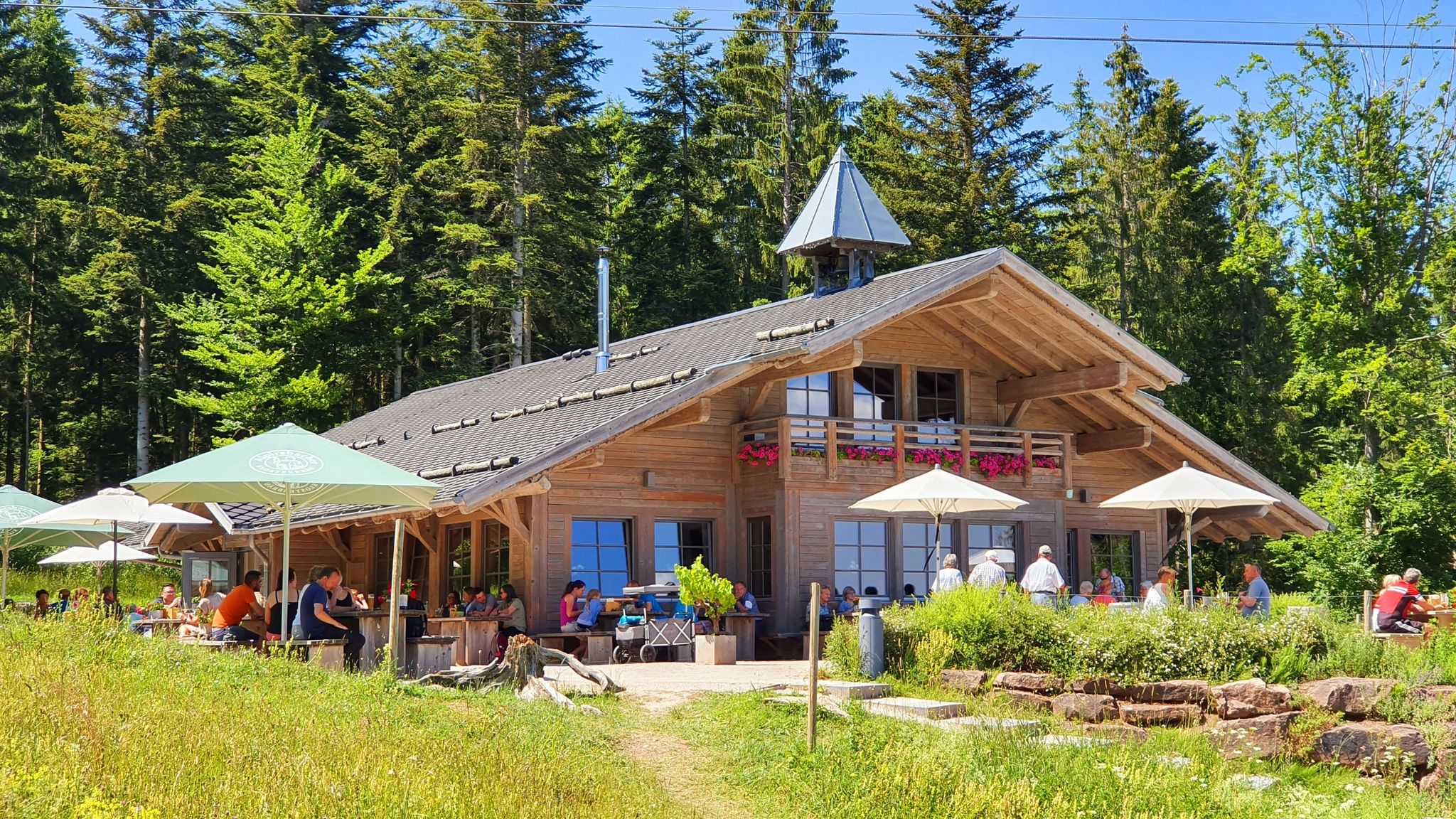
The Black Forest’s huts – moments of enjoyment & relaxation in the forest
Trails Where The Right Warmth Matters – Alpine Adventures with icebreaker
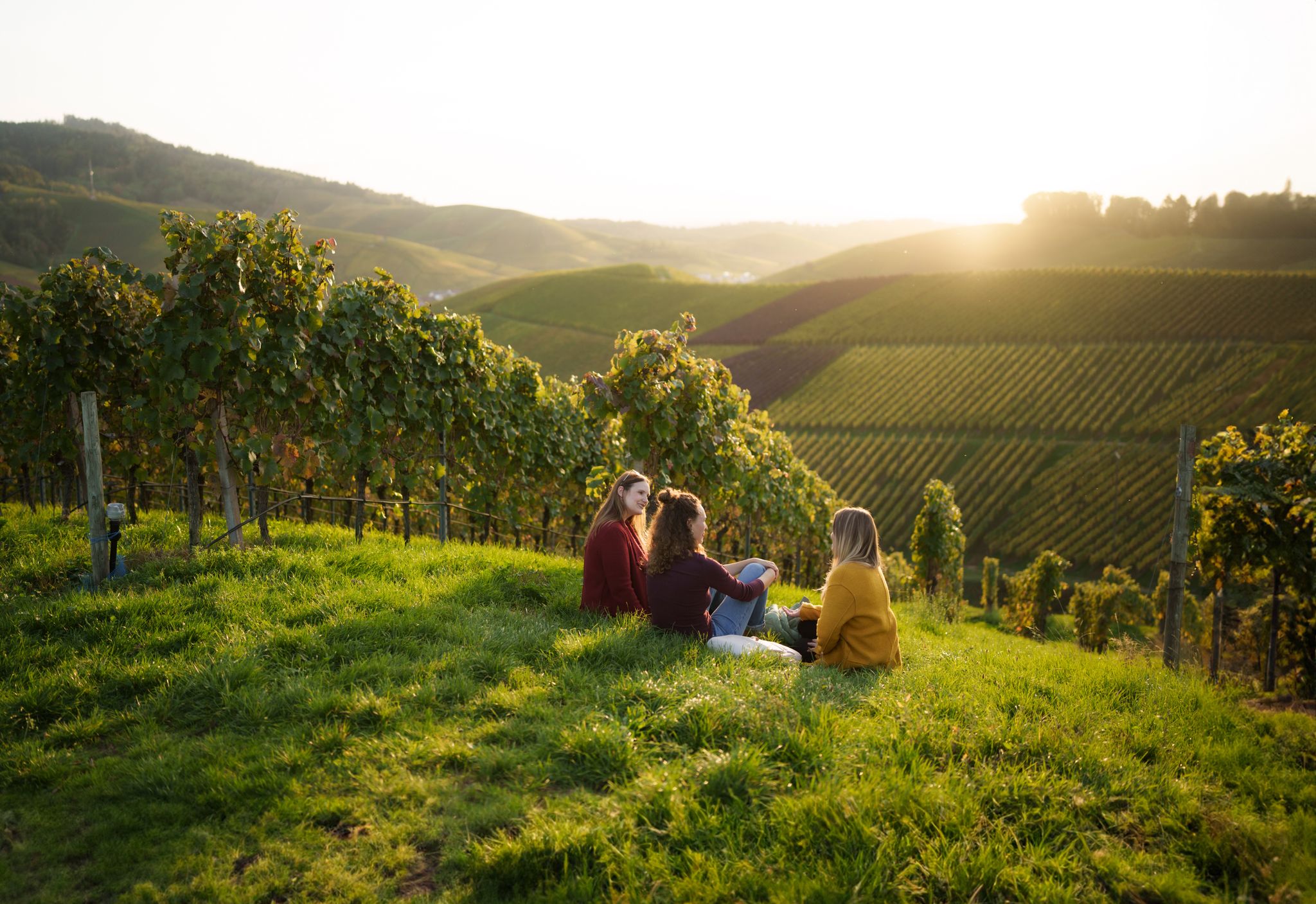
Picnics, wine and wide views – along the Baden Wine Route
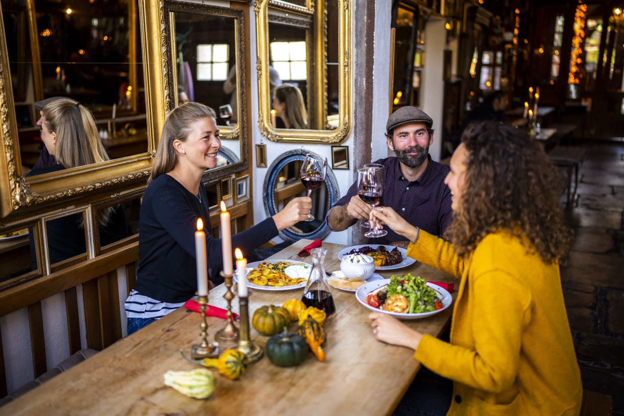
Hikes to seasonal taverns along the Baden Wine Route in Germany
글로터탈 하이킹
글로터탈 로드 사이클링 경로
글로터탈 사이클링
글로터탈 MTB 트레일
글로터탈 러닝 트레일
글로터탈 주변 그래블 라이딩
글로터탈 주변의 다른 모험


커뮤니티 팁

대부분의 난이도에 해당하는 수많은 루트가 있는 인기 있는 등반 지역입니다. 암질은 매우 좋습니다. 루트는 대부분 잘 확보되어 있습니다. 출발점으로 돌아가는 것은 2 x 20m 또는 1 x 30m 하강으로 이루어집니다. "맞은편 통행" 시에는 배려하여 하강해 주십시오. 큰 칸델펠젠(Kandelfelsen)은 칸델 정상(Kandelgipfel)을 통해 갈 수 있습니다. 그곳에는 충분한 주차 공간이 있습니다. 또한, 장크트페터(St. Peter)에서 칸델까지 버스가 운행됩니다. 정상에서부터 약 20분 정도 걸으며, 좋은 신발을 착용해 주십시오. 다멘베그(Damenweg, 파란색 마름모)를 통해 등반 지역으로 이동합니다.
7
0

The Black Forest is known for its abundance of waterfalls. The reason for this lies in the large differences in altitude over a short distance, which applies in particular to the topographical situation in the Simonswald valley. In the 300-700 meter sloping western side of the valley, the strong Ice Age glaciations have created cirque walls. The neighboring streams Hirschbach and Zweribach, coming from gently undulating hanging valleys, plunge down into the largest of these cirques, more than 300 meters deep, with several waterfalls, of which only the Zweribach waterfalls are known nationwide. The cirque is protected as a protective forest and as a Zweribach nature reserve.
9
0

An unexpected alpine highlight that should not be missed on the way to or from the Kandel. For experienced climbers, the crags can be climbed without equipment, the climber takes the steep wall on the valley side.
5
0

Should not be missing on any kandel tour! On top of the rock you have a fantastic view. If you are brave and sure-footed, climb up and enjoy an isotonic cold drink ;-)
6
0

맑은 날에는 탁 트인 칸델(Kandel) 산이 라인강 계곡, 보주 산맥 또는 슈바르츠발트까지 이어지는 환상적인 전망을 자랑하는 최고의 전망대입니다.
6
0

Kybfelsen Castle or Kyburg is the name given to the minimal remains of an earlier castle or defense system that was located south of the Kybfelsen mountain peak on a rock massif of the same name. The remote location at around 820 meters above sea level on this rock massif between Günterstal and Kappel is now a popular excursion destination, with a great view of the Breisgau Bay and Günterstal. Almost nothing is known about the origins of the castle and its end. A written mention comes from the chronicle of Matthias von Neuchâtel from the 14th century, where it is already shown as a ruin. A district plan from the 18th century still shows considerable rubble. The first excavations took place in the 1920s, where finds from the 12th and 13th centuries were discovered. It is concluded that the castle was probably abandoned at the end of the 13th century. Possible residents include relatives of the Counts of Kyburg, a noble family whose main power was in what is now northern and eastern Switzerland. However, it is more likely that it is a coincidental similarity of names. Source: https://www.alemannische-seiten.de/deutschland/freiburg_burg-kybfelsen.php
19
1


칸델의 유명하고 인기 있는 바위입니다. 젊은이부터 노인까지 많은 등반가들이 이 바위에서 활동하는 것을 볼 수 있습니다. 바위 위에서는 라인 계곡 방향으로 멋진 전망을 볼 수 있습니다.
6
0


더 살펴보기
글로터탈 주변의 최고의 동굴을 찾기 위해 이 가이드를 확인해보세요:
