펠드버그에서 가장 멋진 20개의 천연기념물
천연기념물을 방문하여 펠드버그의 아름다운 풍경을 만나보세요. 펠드버그에 있는 20
개의 천연기념물과 상세 정보를 살펴본 후에 방문하고 싶은 천연기념물을 다음 모험 계획에 추가해보세요!
마지막 업데이트: 10월 11, 2026


이런 장소를 발견하려면 지금 가입하세요
최고의 싱글 트랙, 봉우리 및 다양한 흥미로운 야외 장소에 대한 추천을 받아보세요.


세북(Seebuck) 정상의 비스마르크 기념비
하이라이트 • 기념물
번역자 Google •
팁에 의해

무료로 가입하여 펠드버그 주변의 더 많은 자연 기념물을 발견하세요.
이미 komoot 계정이 있나요?
오늘 무료 계정으로 시작하세요
다음 모험이 기다리고 있어요.
펠드버그 주변 인기 장소
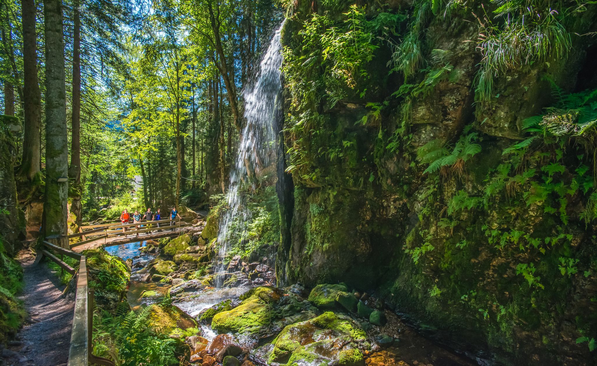
River Alb를 따라 독일의 Black Forest에서 HIKE하세요
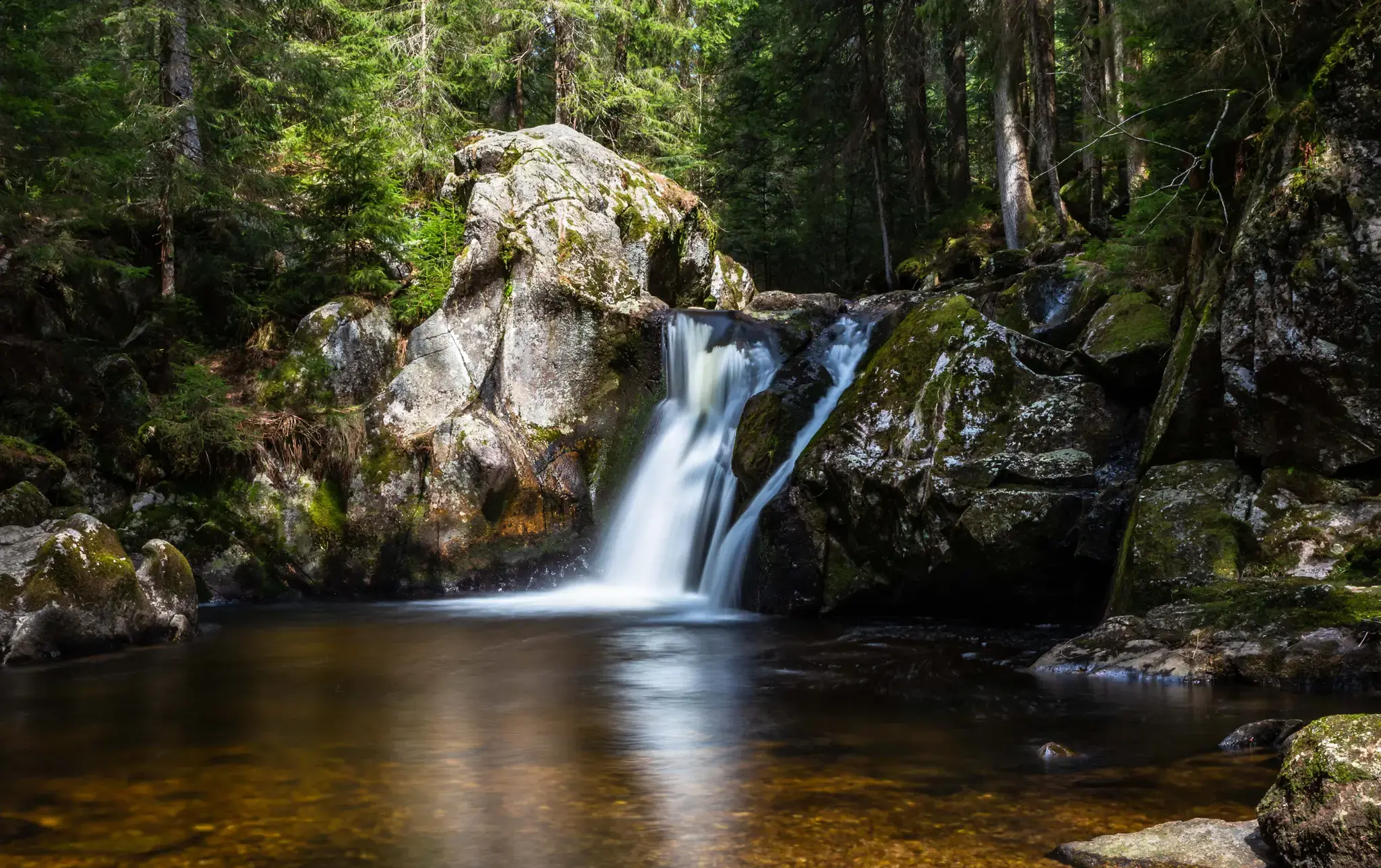
Hiking, ponds & waterfalls – superb Black Forest swimming spots
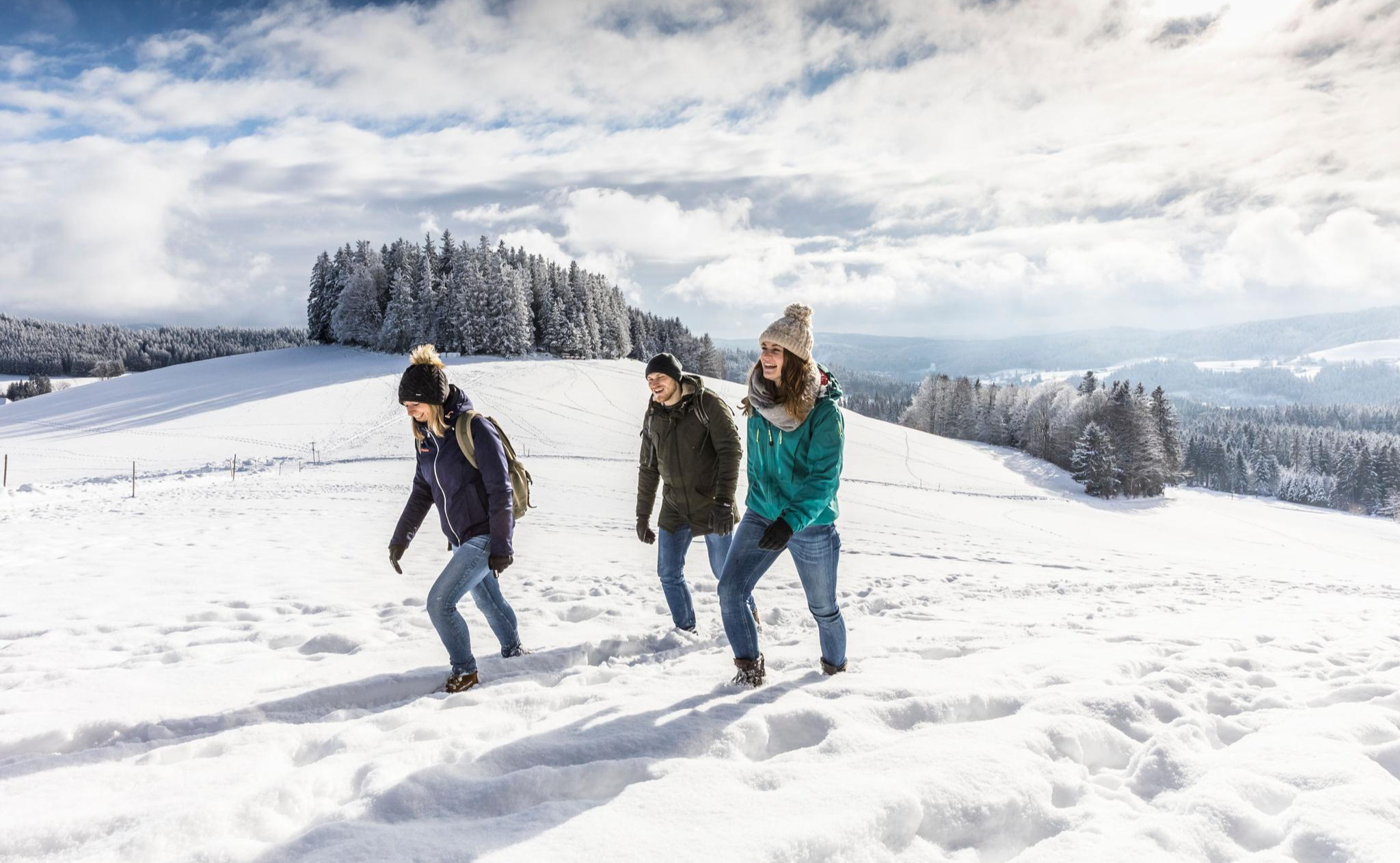
Black Forest Highlands – Winter Hiking with Snow, Silence and Vast Views
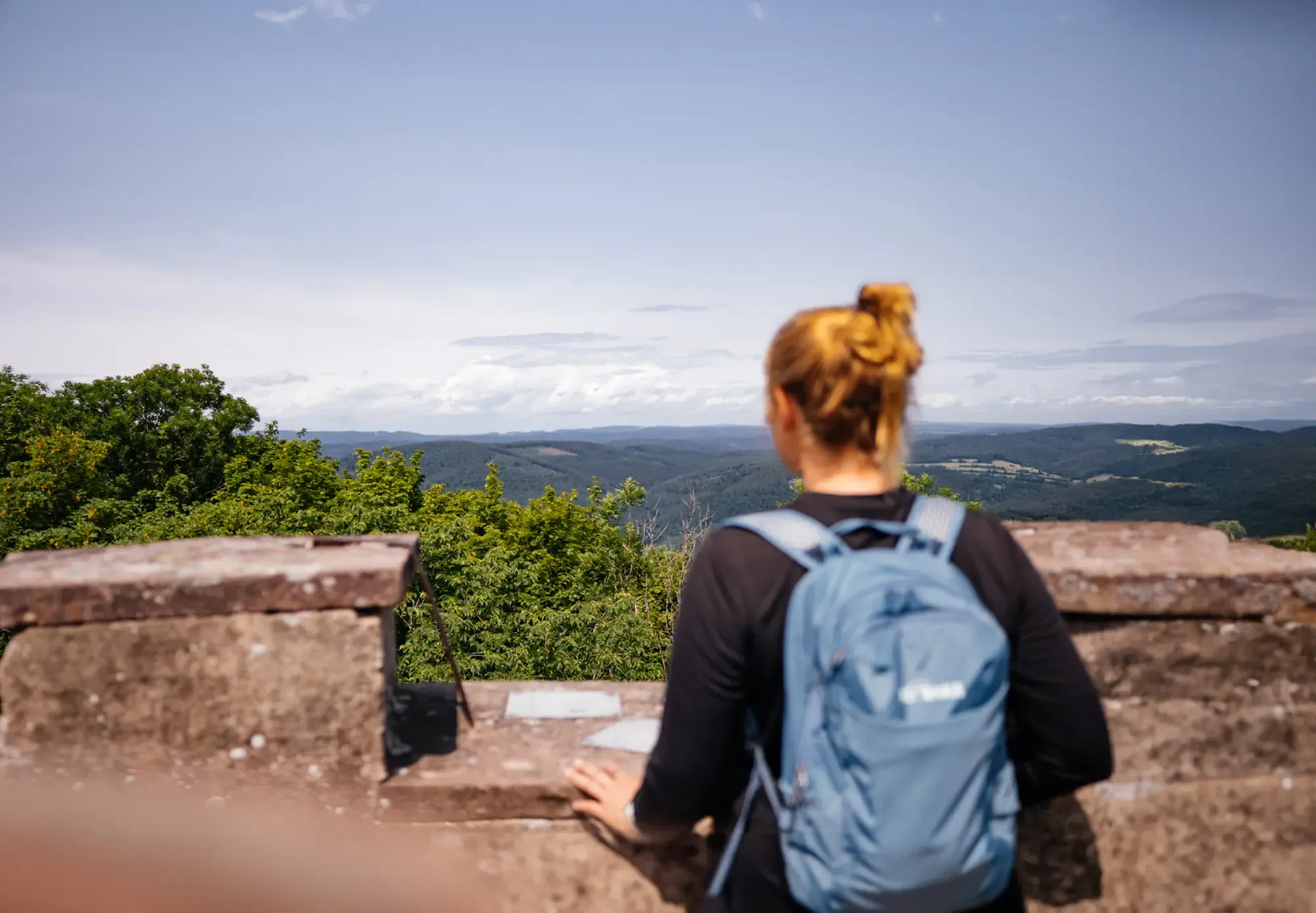
The state from above: 7 Summits of Baden-Württemberg
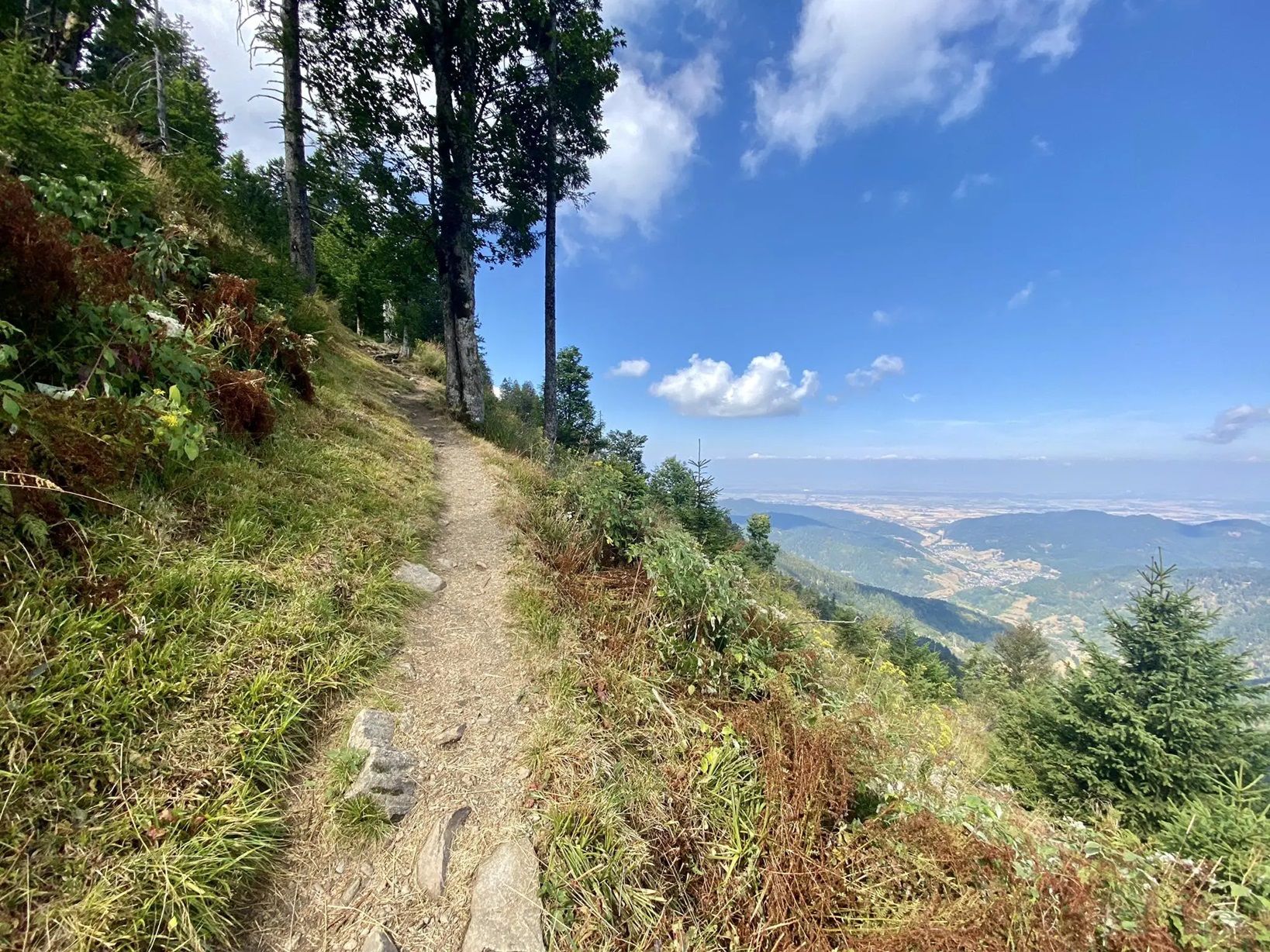
Westweg에서 이틀 동안 Trekking
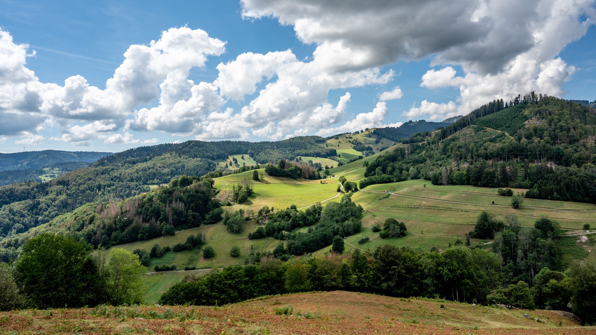
바덴-뷔르템베르크의 국가 자연 풍경
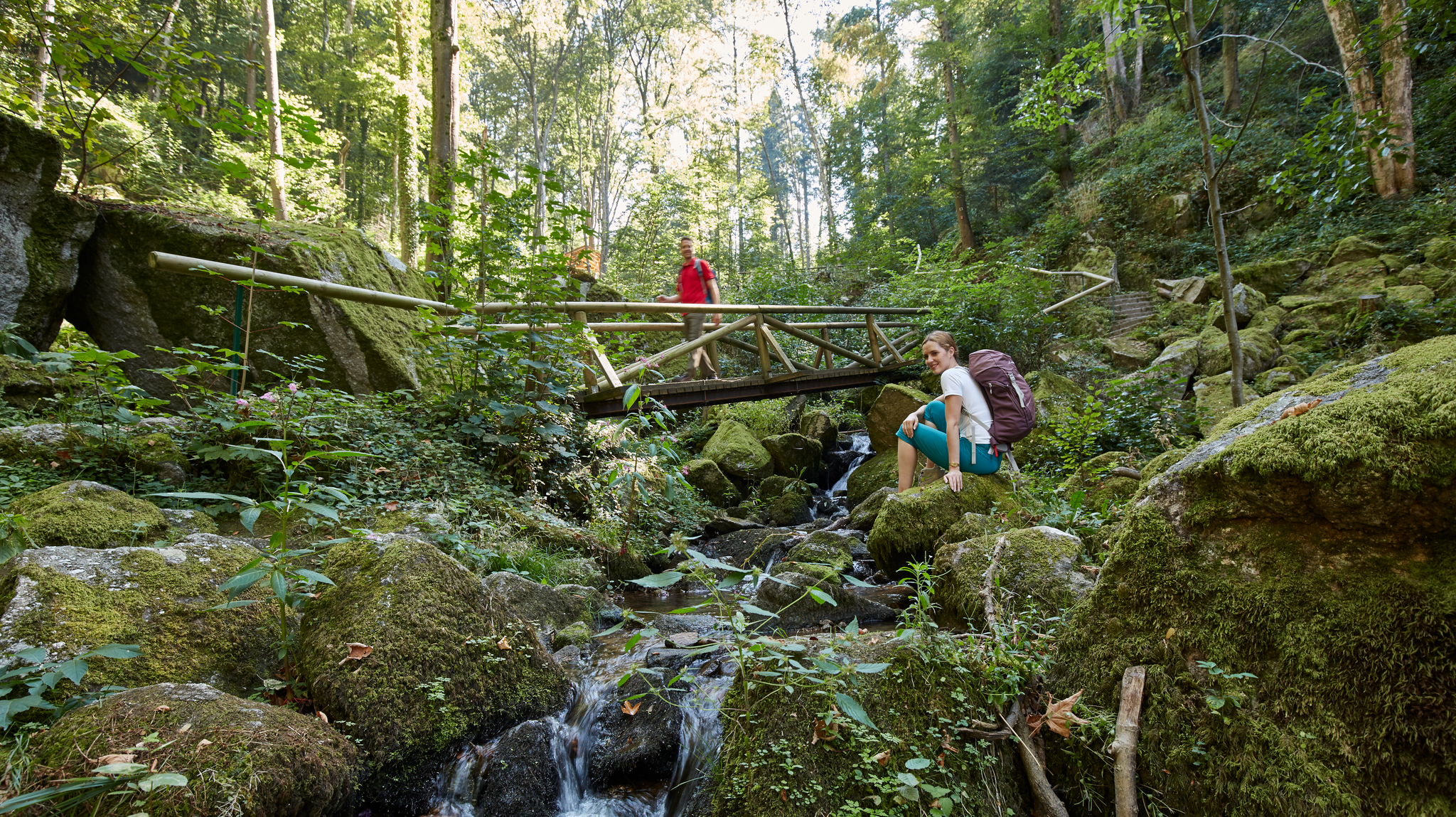
Waterfalls, gorges and cliffs – cooling off in Baden-Württemberg
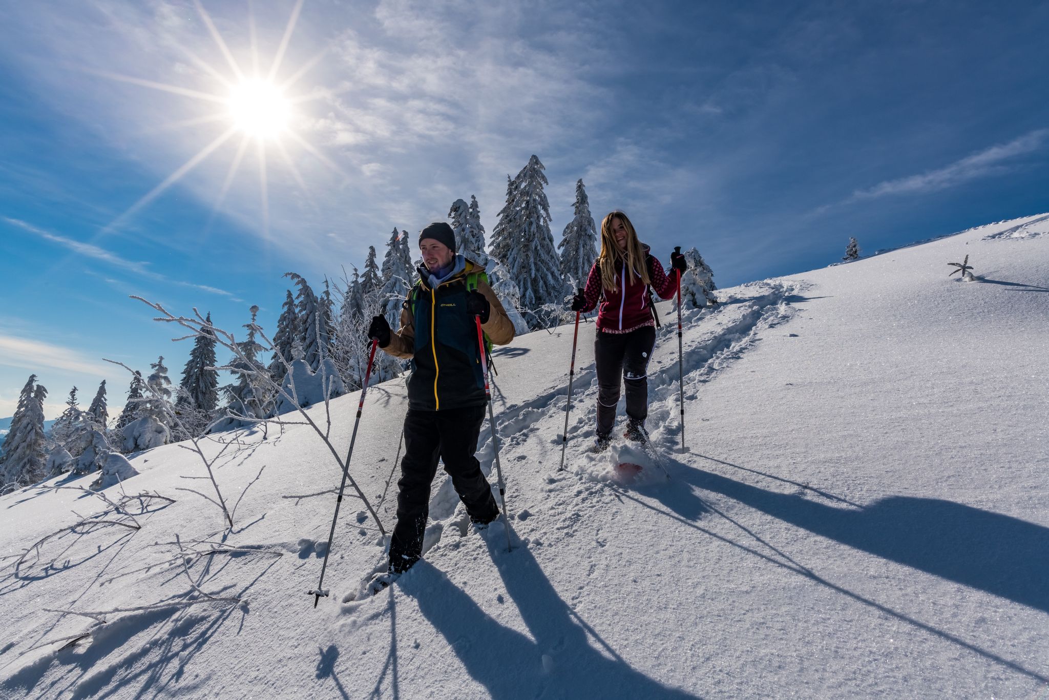
The Forest in its white dress – snowshoe Tours in the Black Forest
Wide views and wild valleys – the Black Forest and the Swabian Alb
Nature and thrills – adventurous hiking in the Black Forest
펠드버그 주변의 다른 모험


커뮤니티 팁

Impressive gorge that is especially good for hiking in summer, as there is always a pleasant coolness there. Not recommended in the winter months due to snow and black ice.
8
0

Wonderful view of the Feldbergsee. Behind it you can see the Raimartihof, which invites you to rest after the long descent. Hinterzarten is further away.
13
0

The tower, named after the Baden Grand Duke Friedrich I and his wife Luise, was built in 1913 and is now used by the German Weather Service as a weather radar system, which is housed in the radome above.
19
1

The weather station is near the Feldberg summit. Since this is often confused with the Seebuck, on which the Bismark monument stands, the weather station can provide a good waypoint here.
14
0

From https://www.schwarzwald-aktuell.eu/gschichtle/g-schichtle-die-wetterstation-auf-dem-feldberg summit: A weather observation station of the German Weather Service is located on the Feldberg summit. There are around 100 such stations in Germany. Every change is registered here every hour: air pressure, humidity, temperature, sunshine duration, cloud height, wind speed and much more. A weather radar system is located next to the weather station. It belongs to the radar network of the German Weather Service. It is used to determine the amount of precipitation. The radar sphere has a range of around 200 km and scans the sky 360° horizontally and 90° vertically.
20
1

"...The source area of the Stübenbach is on the 1,386 meter high Stübenwasen. From there it meanders through the high valley of Todtnauberg, where other clear mountain streams join it. These then plunge together with a loud roar in two stages over a huge granite massif into the valley. The completely natural waterfall has been a listed monument since June 1987 and is one of the ten most beautiful natural monuments in Germany. ..." https://www.feldbergbahn.de/Attraktionen/Todtnauer-Wasserfall
17
1

A beautiful place also nicely prepared with the climbs to the left and right of the waterfall. I also think the loungers below the waterfall are very well made.
23
2

More information under the following link: https://www.hochschwarzwald.de/Attraktionen/Bismarckdenkmal-auf-dem-Seebuck
18
1
펠드버그 주변에서 가장 인기 있는 명소


더 살펴보기
펠드버그 주변의 최고의 동굴을 찾기 위해 이 가이드를 확인해보세요:
