경로플래너기능업데이트
App
로그인 또는 가입
앱 다운로드
로그인 또는 가입
경로
Places to see
Natural Monuments
독일
튀링겐

술‬에서 가장 멋진 ‪20‬개의 천연기념물


천연기념물을 방문하여 술의 아름다운 풍경을 만나보세요. 술에 있는 20
개의 천연기념물과 상세 정보를 살펴본 후에 방문하고 싶은 천연기념물을 다음 모험 계획에 추가해보세요!

마지막 업데이트: 9월 13, 2026

렌슈타이크의 최고점

하이라이트 • 정상

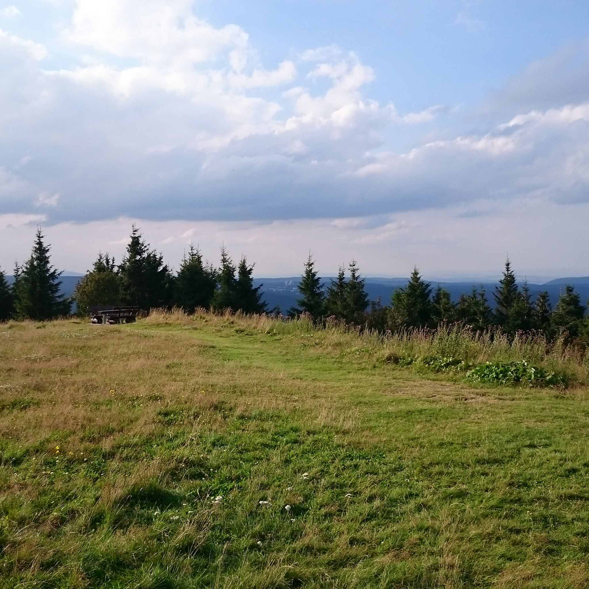
The highest point is a must when you are in the vicinity. An even better view is only a few meters further along the path along the viewing platform.

번역자 Google •

에 의해

라이딩 보기휴대폰으로 전송
저장
Did you know that there were volcanoes in the Thuringian Forest? There was! The Great Beerberg was once one. These are the remnants of it and at 982.9 meters they …

번역자 Google •

에 의해

저장

이런 장소를 발견하려면 지금 가입하세요

최고의 싱글 트랙, 봉우리 및 다양한 흥미로운 야외 장소에 대한 추천을 받아보세요.

무료 회원 가입

로젠코프(938m) – 렌슈타이크의 경계석

하이라이트 • 역사적 장소

Here you can find a lot of information about the history of the boundary stones and thus also about the origins of the Rennsteig.

번역자 Google •

에 의해

저장

열 개의 연못

하이라이트 • 호수

The ponds to the left of the hiking trail are terraced. There is a shelter next to it, so you can take a refreshing footbath. There is a drainpipe at …

번역자 Google •

에 의해

저장

페서 샘

하이라이트 • 자연 기념물

The source of the Vesser river is located at an altitude of 790 metres below the Wegscheide hiking car park, southwest of the Grosser Eisenberg (907 m) near Schmiedefeld am Rennsteig.

번역자 Google •

에 의해

저장

드라이스바흐테이히

하이라이트 • 호수

Beautiful idyllic pond within walking distance and by bike 🍀

번역자 Google •

에 의해

저장

베어베르크 습지

하이라이트 • 자연

The Beerbergmoor lies on the northern slope of the Great Beerberg. Not only is the atmosphere here very special – the Beerbergmoor is even the highest in the Thuringian Forest nature reserve.

번역자 Google •

에 의해

저장

Fichtenkopf 정상 (944 m)

하이라이트 • 정상

One of the 7,900 m peaks in the Thuringian Forest. Not so busy. Therefore a little insider tip.

번역자 Google •

에 의해

저장
The memorial stone was unveiled on May 18, 1996, on the 70th birthday of Thuringian composer Herbert Roth. His most famous song is the Rennsteig Song, which is considered the unofficial anthem of Thuringia.

번역자 Google •

에 의해

저장

우르발트파트 페서탈

하이라이트 (구간) • 트레일

Beautiful, untouched nature, with many great hiking opportunities.

번역자 Google •

에 의해

저장

무료로 가입하여 술 주변의 더 많은 자연 기념물을 발견하세요.

무료 회원 가입

이미 komoot 계정이 있나요?

오늘 무료 계정으로 시작하세요

다음 모험이 기다리고 있어요.

로그인 또는 가입하기

술 주변 인기 장소

Forest, vastness and water – day trips in the Thuringian Forest

Long distance hiking trails in the Thuringian Forest

독일 교차: 트리어에서 거르리츠까지 8일

Rennsteig에서 Unstrut까지 - Gera CYCLE PATH 2단계로

술 하이킹

술 사이클링

술 러닝 트레일

술 MTB 트레일

술 로드 사이클링 경로

술 주변 그래블 라이딩

술 주변의 다른 모험

Forest, vastness and water – day trips in the Thuringian Forest

하이킹 컬렉션 에 의해

Thüringer Wald

커뮤니티 팁

Kristian
7월 21, 2026, Beerberg Moor

Beerbergmoor는 해발 983미터의 Großer Beerberg 북쪽 경사면에 위치한 약 12.5헥타르 규모의 약 3,000년 된 고층 습지입니다. 이곳은 투링기아 숲의 중심부에 있으며, 유명한 Rennsteig(Schmücke와 Oberhof 사이) 바로 옆에 위치하고 있으며 엄격하게 보호되는 핵심 구역으로 자연 보호 구역으로 지정되어 있습니다.

번역: Google

3

0

Historical boundary stone and information board about the boundary stones on the Rennsteig and Rosenkopf at 938 m.

번역: Google

8

0

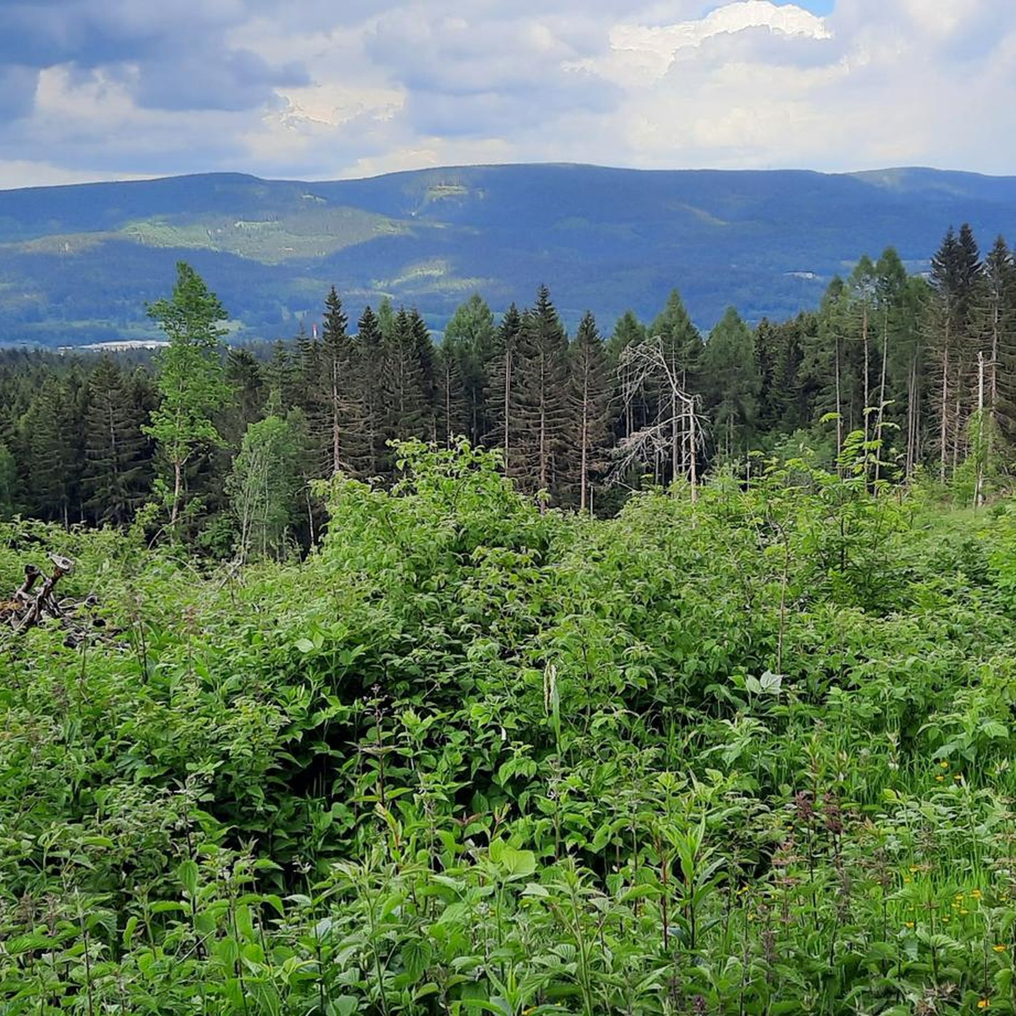
The Thuringian Forest is simply stunningly beautiful 😊.

번역: Google

1

0

With a summit book, Easter, and Christmas tree all at once. Depending on the event, you just look at the one suitable tree.

번역: Google

2

0

A beautiful piece of earth

번역: Google

1

0

Beautiful raised moor on the Rennsteigweg

번역: Google

1

0

Beautiful raised rain moor on the highest mountain in Thuringia.

번역: Google

6

0

At 982.9 m above sea level, the Großer Beerberg is the highest elevation in the Thuringian Forest and Thuringia. It is located between the three Suhl districts of Heidersbach, Goldlauter, and Gehlberg. The mountain is composed of Rotliegend rock from the Oberhof Formation, a volcanically formed rhyolite (quartz porphyry) that emerged from the surrounding sediments approximately 280 to 295 million years ago. After uplift, it was exposed as a hard rock from the surrounding sediments. (Source: Wikipedia)

번역: Google

4

0

술 주변에서 가장 인기 있는 경로

술 가족 하이킹

술 주변에서 가장 인기 있는 명소

Places to see

Store rating

komoot 모바일 앱으로 영감을 받아보세요

무료 komoot 계정로 끝없는 야외 모험을 손쉽게 찾고, 맞춤 설정하며 길안내할 수 있어요.

또는

지금 komoot에 가입하세요
Store rating

찾고 계신 것을 찾지 못하셨나요?

지역별 최고의 하이라이트를 확인하여 술 주변의 더 놀라운 자연 기념물을 찾아보세요:

Suhler Stadtwald

근처 어드벤처 가이드

젤라멜리스 즐길거리

background

새로운 정복을 위한 준비를 하세요

무료로 가입하기
탐험하기
경로경로 플래너기능바우처 사용하이킹MTB 트레일로드 사이클링 경로바이크패킹사이트맵
앱 다운로드
소셜 미디어에서 팔로우하기

© komoot GmbH

개인 정보 보호 정책