칼크로이트에서 가장 멋진 20개의 천연기념물
천연기념물을 방문하여 칼크로이트의 아름다운 풍경을 만나보세요. 칼크로이트에 있는 20
개의 천연기념물과 상세 정보를 살펴본 후에 방문하고 싶은 천연기념물을 다음 모험 계획에 추가해보세요!
마지막 업데이트: 8월 30, 2026

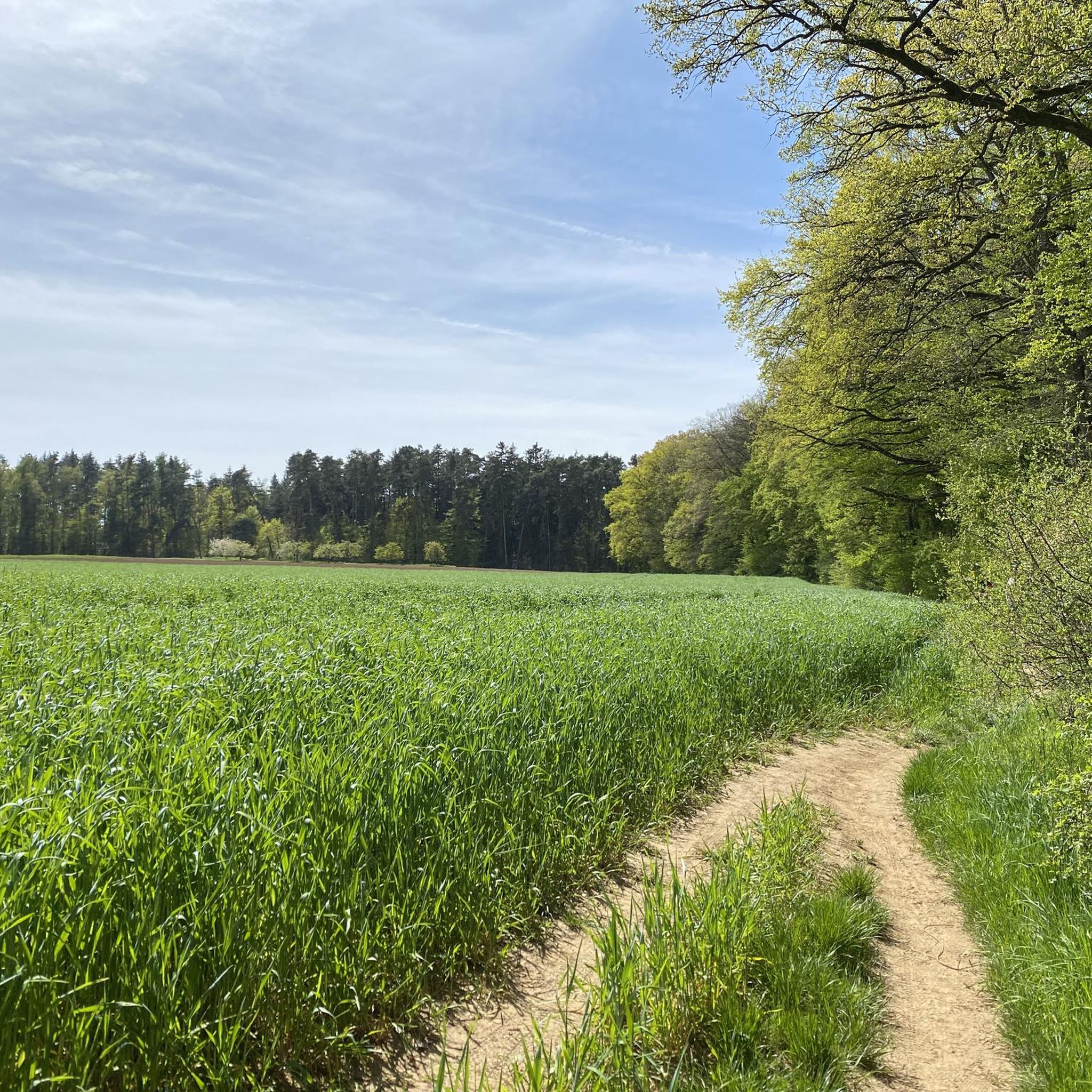
페그니츠 강을 따라
하이라이트 (구간) • 강
번역자 Google •
팁에 의해

이런 장소를 발견하려면 지금 가입하세요
최고의 싱글 트랙, 봉우리 및 다양한 흥미로운 야외 장소에 대한 추천을 받아보세요.
무료 회원 가입

뉘른베르크 중앙시장
하이라이트 • 정착지
번역자 Google •
팁에 의해
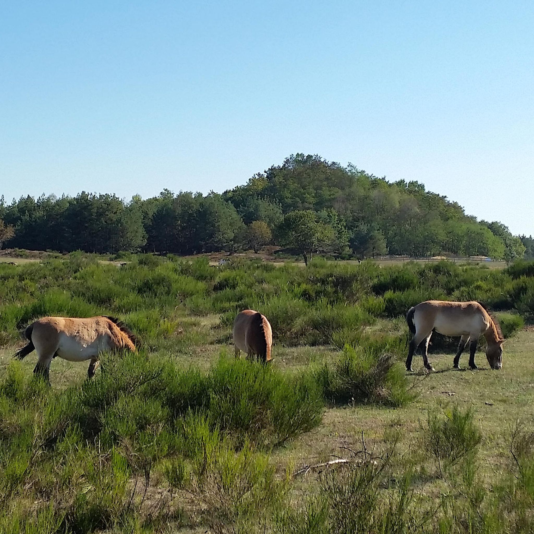
테넨로어 포르스트의 프제발스키 야생마 우리
하이라이트 (구간) • 자연 기념물
Currently, Przewalski stallions from Hellabrunn Zoo and Nuremberg …
번역자 Google •
팁에 의해

무료로 가입하여 칼크로이트 주변의 더 많은 자연 기념물을 발견하세요.
무료 회원 가입
이미 komoot 계정이 있나요?
오늘 무료 계정으로 시작하세요
다음 모험이 기다리고 있어요.
로그인 또는 가입하기
커뮤니티 팁

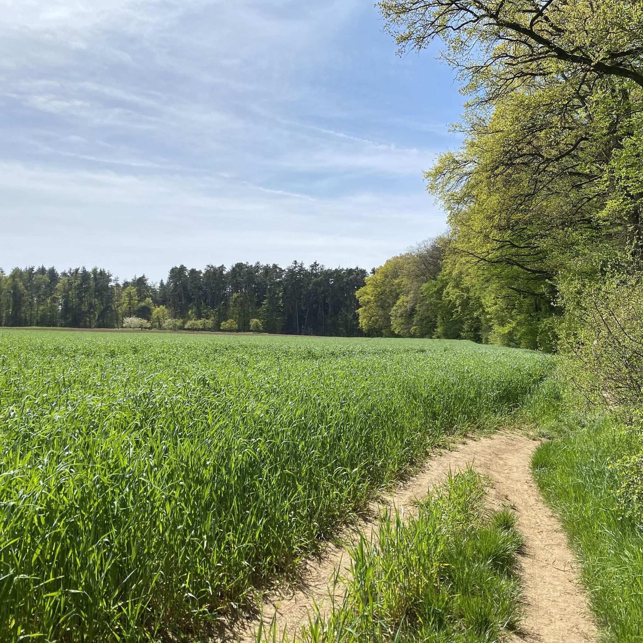
Since 2003, the last truly wild horses have lived in a large enclosure in the Tennenlohe Forest near Erlangen. They help maintain the open sandy areas by grazing on grasses and young shrubs. A circular path leads around the enclosure – with a bit of luck, you can observe the animals from the path.
8
0

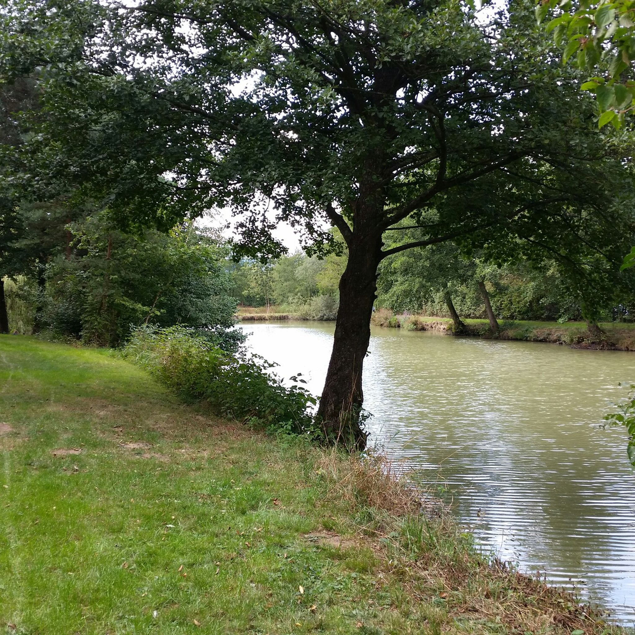
Wöhrder See, Nuremberg Wöhrder See, the youngest of Nuremberg's waterways, is a popular local recreation area in the heart of the city, providing a natural habitat for endangered species. It is not a natural lake, but was created by damming the Pegnitz River, which flows through it. The idea for an inner-city lake existed as early as the 1930s. The project was approved for implementation in October 1959. In addition to the City of Nuremberg, the State Water Management Authority and the Middle Franconia District were involved in the planning and construction. Recreational concerns were not the only priority in the design. The lake is also part of the extensive flood protection measures after the Second World War. Construction work began in 1968 with the Lower Wöhrder See and continued until 1972. The sand trap above the waterway was built between 1972 and 1975. The final construction phase of the Upper Wöhrder Lake was completed in 1981. Text / Source: Nürnberg Infos.de / Nürnberger Nachrichten https://nuernberginfos.de/gewaesser-nuernberg/woehrder-see.php
16
0

The main market is the central square of Nuremberg's old town. Unfortunately, the main market was badly damaged in World War II, and the only architecturally significant buildings left on the market square today are the Frauenkirche and the Schöne Brunnen. The weekly market takes place every weekday on the main market. The annual Nuremberg Christmas market is a particular attraction.
13
4

The weekly market also takes place on the main market. It is open from Monday to Saturday, with core sales times from 9 a.m. to 6 p.m. Around 40 traders offer their fresh products at stalls. In addition to fruit and vegetables, these include flowers, delicatessen specialties and cheese, eggs and poultry, honey, spices, coffee and smoothies. The culinary offering ranges from Nuremberg grilled sausages to oriental dishes, sushi and Baumstriezel.
18
6
A walk around the lake can be a lovely family walk. A total of 6.5 km with no elevation gain and a lovely, varied route.
19
0

"You gentlemen and women, who were once children, are again today", says the Christ Child when he greets his guests at the Nuremberg Main Market at the opening of the Nuremberg Christkindlesmarkt. Now, in the cold season, the place really blossoms.
21
8

A large enclosure is available to the wild horses, in which they ensure that the open spaces are preserved. Due to the spaciousness of the enclosure, the horses can often be seen in a wide variety of places.
9
0

In the east of Erlangen lies the vast recreation area and nature reserve of the Tennenloher Forest. It is one of the largest sand ecosystems in southern Germany and inspires with its extensive, almost steppe-like open spaces, mostly densely covered with fragrant heather. Goats and a relevant population of the rare Przewalski's horses graze on these. In addition, you will find moor paths secured with wooden planks, which give the landscape an almost mystical character https://www.outdooractive.com/de/route/wandern/staedteregion-nuernberg/wildpferde-und-cheeky-goats-im-tennenloher-forst/125619433/
6
0
칼크로이트 주변에서 가장 인기 있는 명소


더 살펴보기
칼크로이트 주변의 최고의 동굴을 찾기 위해 이 가이드를 확인해보세요:
