배드 베르트리히에서 가장 멋진 20개의 천연기념물
천연기념물을 방문하여 배드 베르트리히의 아름다운 풍경을 만나보세요. 배드 베르트리히에 있는 20
개의 천연기념물과 상세 정보를 살펴본 후에 방문하고 싶은 천연기념물을 다음 모험 계획에 추가해보세요!
마지막 업데이트: 11월 6, 2026
칼몬트 비아 페라타
하이라이트 (구간) • 등반
번역자 Google •
팁에 의해

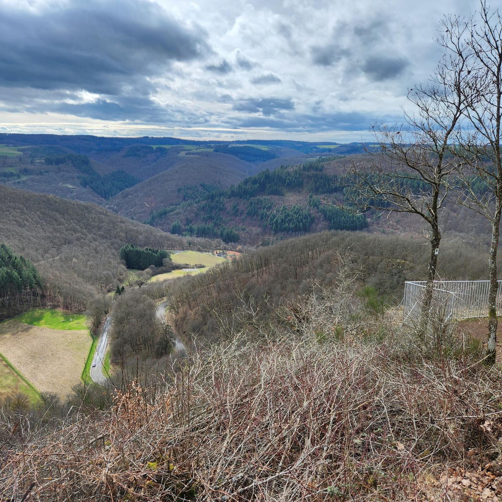
칼몬트 정상 아래 모젤 강 굽이의 파노라마 전망
하이라이트 • 전망대
번역자 Google •
팁에 의해

이런 장소를 발견하려면 지금 가입하세요
최고의 싱글 트랙, 봉우리 및 다양한 흥미로운 야외 장소에 대한 추천을 받아보세요.
칼몬트 고지 산책로
하이라이트 • 트레일
번역자 Google •
팁에 의해

칼몬트 비아 페라타의 로프 보조 구간
하이라이트 • 등반
번역자 Google •
팁에 의해

칼몬트 클레터슈타이크
하이라이트 • 등반
번역자 Google •
팁에 의해

무료로 가입하여 배드 베르트리히 주변의 더 많은 자연 기념물을 발견하세요.
이미 komoot 계정이 있나요?
오늘 무료 계정으로 시작하세요
다음 모험이 기다리고 있어요.
배드 베르트리히 주변 인기 장소
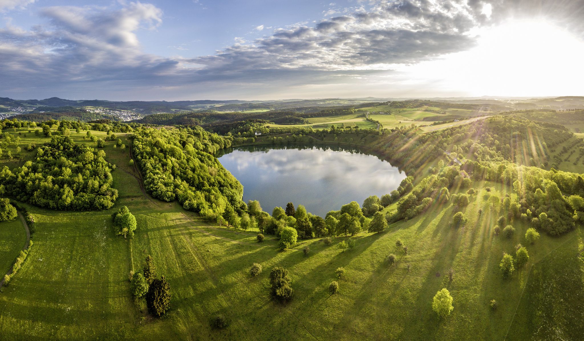
Germany’s Most Beautiful Hiking Trails in the Vulkaneifel
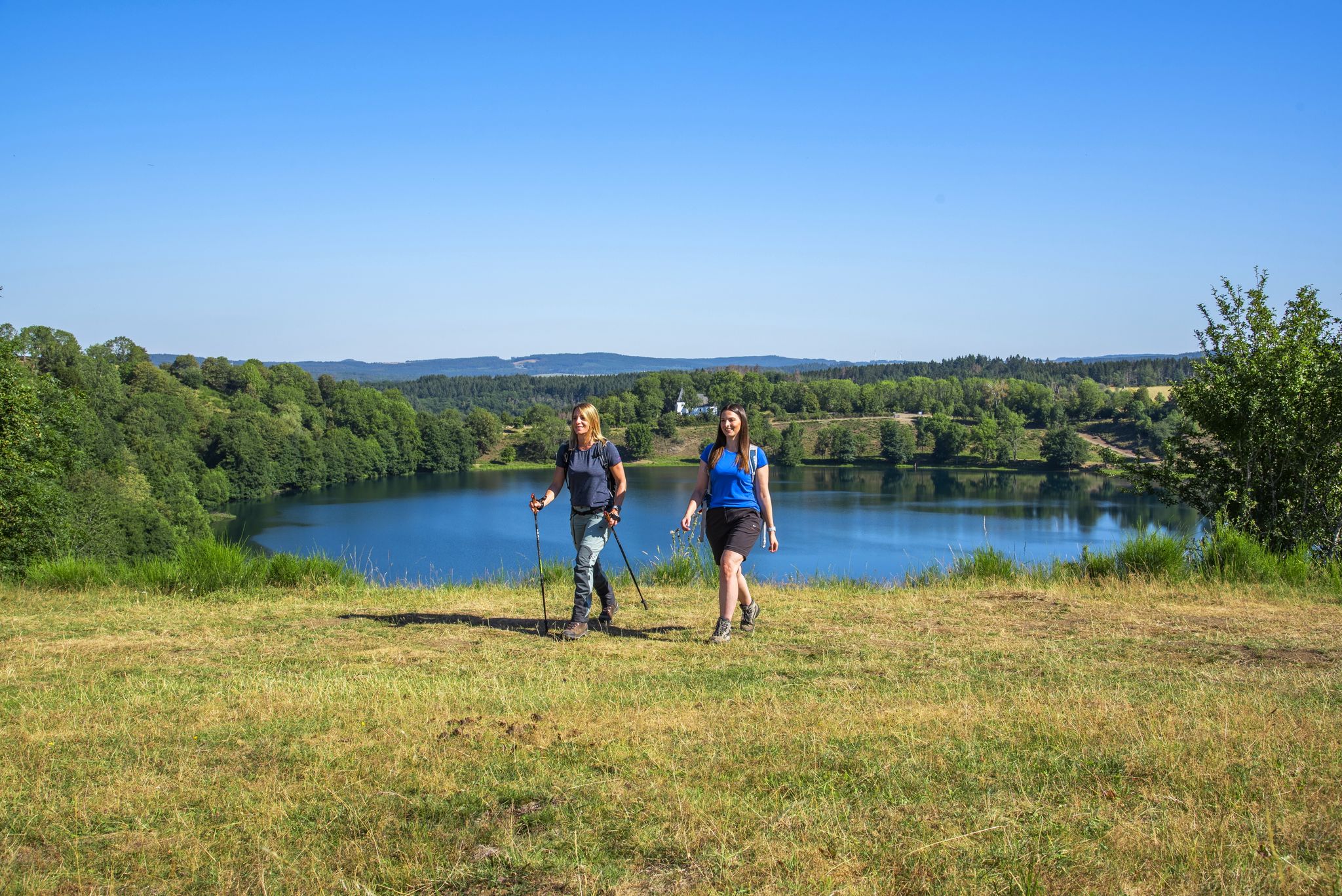
Excellent paths in the Vulkaneifel – Explore the HeimatSpuren
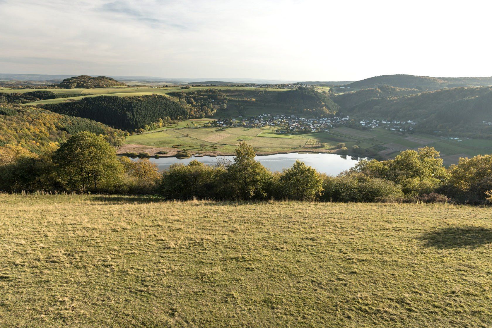
화산 크레이터 호수와 용암 바위 - 독일 풀카니슈 아이펠 산책
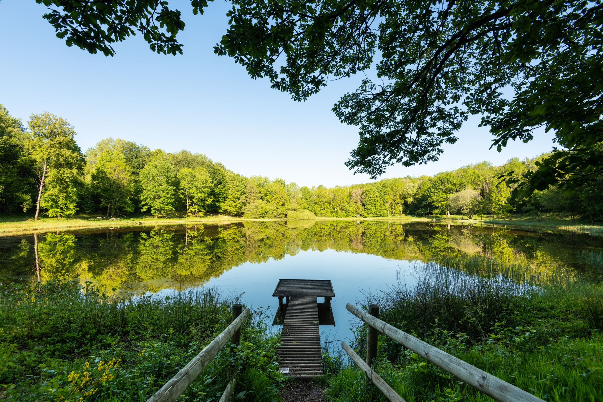
Award-winning hikes – explore the Volcanic Eifel on acclaimed trails
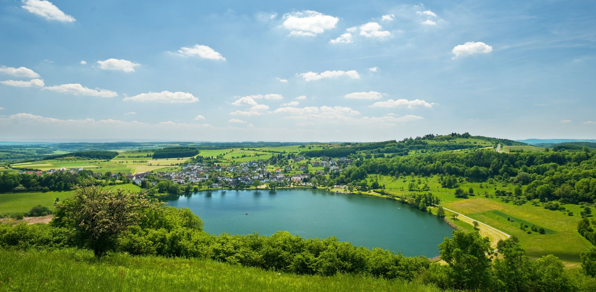
Lava pits & fairytale lakes – hiking through Vulkaneifel in Germany
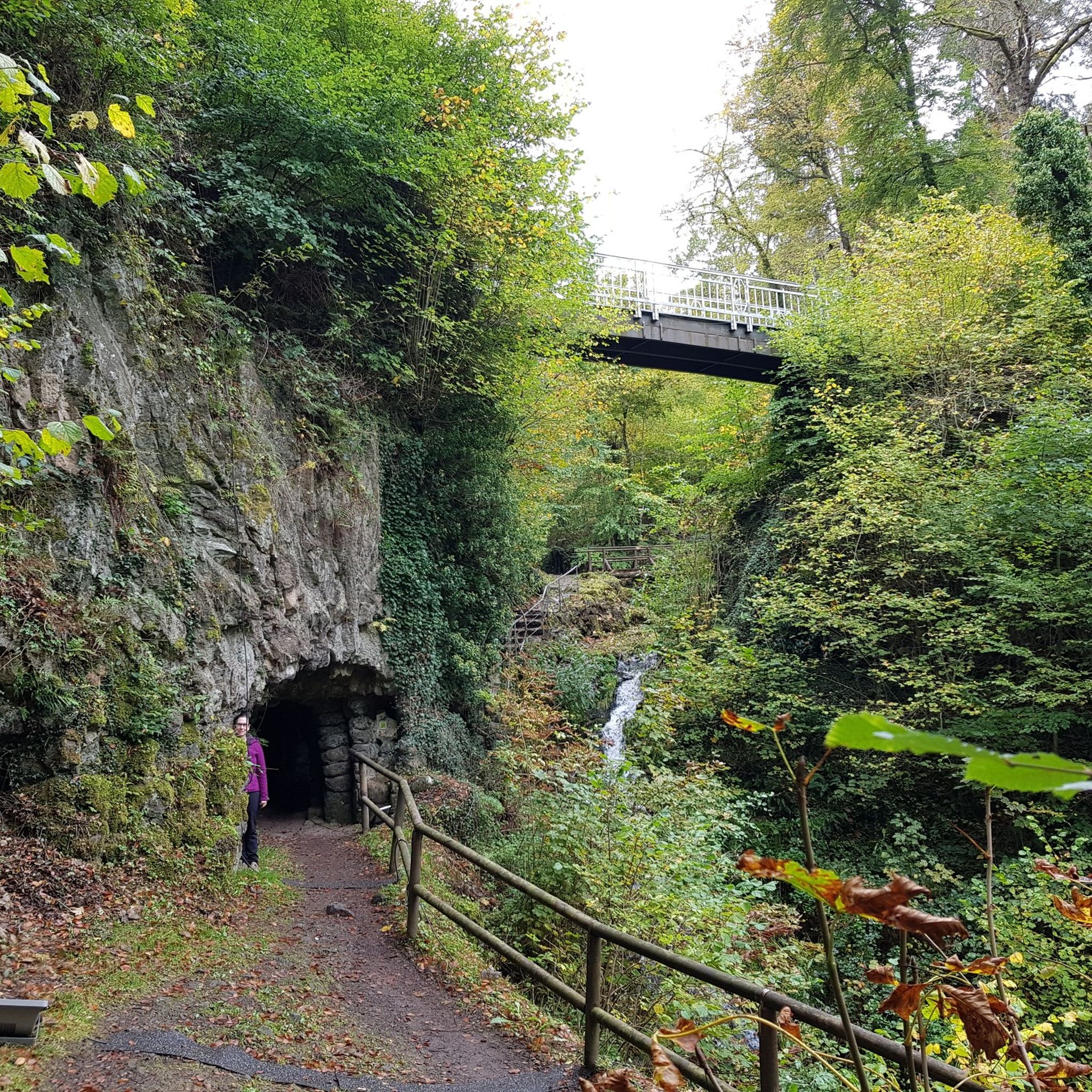
배드 베르트리히 하이킹
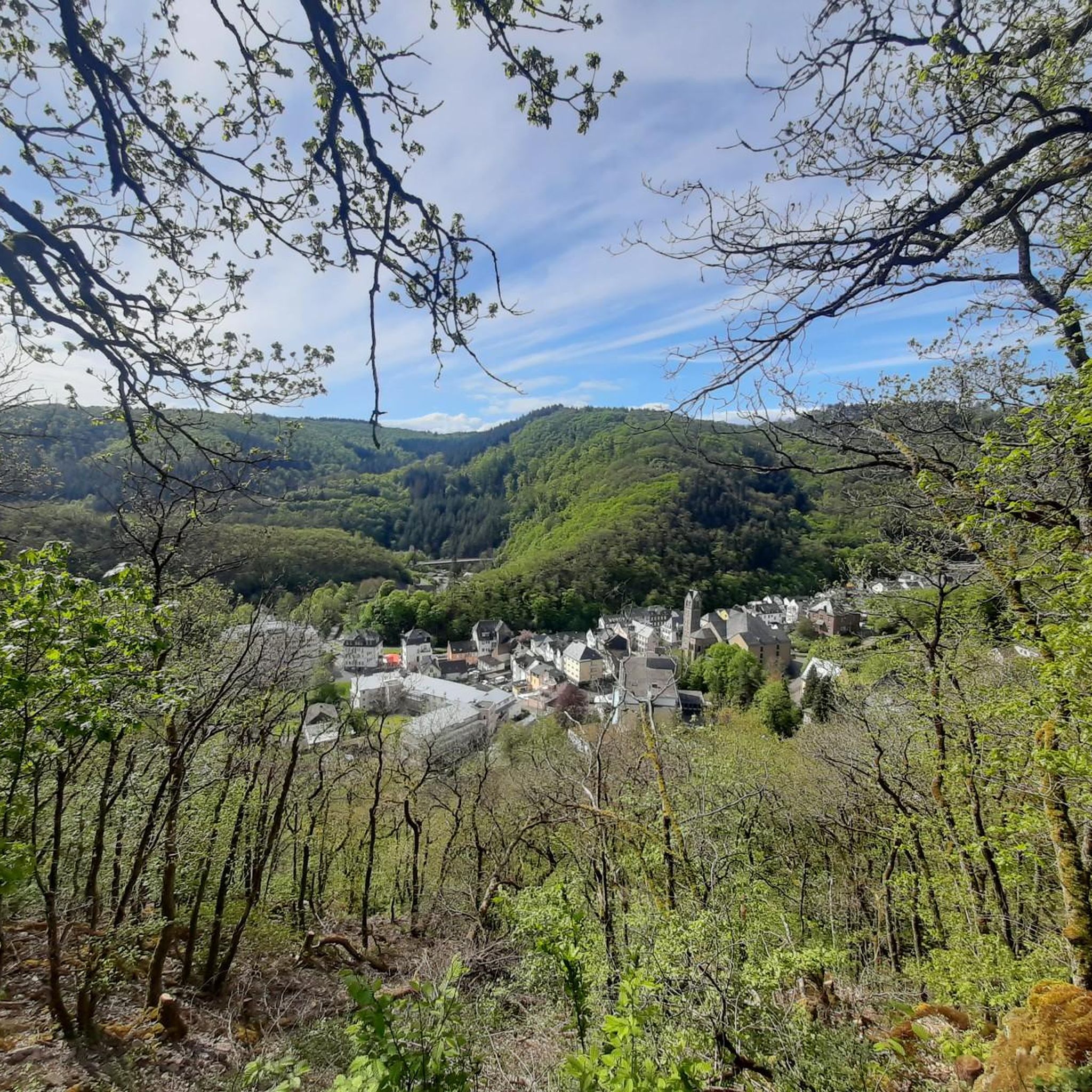
배드 베르트리히 MTB 트레일
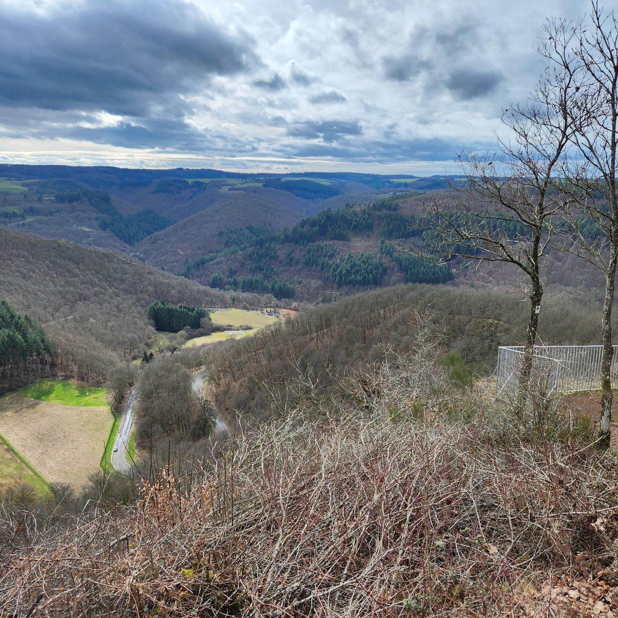
배드 베르트리히 사이클링
배드 베르트리히 로드 사이클링 경로
배드 베르트리히 러닝 트레일
배드 베르트리히 주변의 다른 모험


커뮤니티 팁

🥾🥾⛰️The Calmont is a steep vineyard with a 65 degree incline↗️ & a height of 378 meters↕️. The Calmont via ferrata🥾🥾🪜 leads through the vineyard, impassable rocky sections are overcome with climbing aids. The hike on the Calmont high trail with the Calmont summit cross and “Vierseenblick” offers fantastic views🎨🖌. Difficult passages are equipped with rock steps, rope safety devices, steel ladders, iron brackets and footholds. 🧭The Calmont region is located on the Terraced Moselle, just under 20 kilometers from Cochem. Thanks to the German Alpine Association and many volunteers from the surrounding communities of Bremm, Ediger-Eller and Neef. Because they all made sure that the mountain was accessible in the first place🥾🥾🎒.
8
0

The route is great, a clear recommendation if you think you can do it.
4
0

The Calmont is an almost 400 meter high steep vineyard with a 65 degree slope. The Calmont via ferrata leads up and down through the vineyard over narrow, partly rooty and numerous rocky passages. Difficult passages are equipped with rock steps, rope safety devices, 6 steel ladders, 22 iron brackets and 16 stepping pins.
10
3

From this vantage point you have one of the best valley views of the Moselle loop.
76
0
The Calmont via ferrata is more of a mountain trail than a via ferrata. Passages of the "via ferrata" are made safer with handrails, ladders, step bars and stepping pins. However, hikers who are not sure-footed also have the option of bypassing the short section of the "via ferrata".
73
10

It is particularly beautiful in October when the leaves change color. Shortly after 10 a.m. we walked from Eidiger-Eller, first over the Todesangst and the Höhenweg, so we were above the Moselle loop at the right time. There is a rest area with a bench, from where we could watch how the fog revealed the colorful landscape.
13
0

Beautiful hiking tour with a view of the Moselle loop. 😍
13
0

You can also enjoy the view without hiking up. Drive up with the car. Drive quite far, then comes a gravel road, this approx. 2km comes a parking lot for hikers. From there it is not far to the summit cross and Vierseenblick. Together about 2km. Above are great wide hiking trails. Well suited for beginners. Then down to Bremm where the second vantage point is easily accessible on foot. So everyone has something.
14
0
배드 베르트리히 주변에서 가장 인기 있는 명소


더 살펴보기
배드 베르트리히 주변의 최고의 동굴을 찾기 위해 이 가이드를 확인해보세요:
