샴버그에서 가장 멋진 20개의 천연기념물
천연기념물을 방문하여 샴버그의 아름다운 풍경을 만나보세요. 샴버그에 있는 20
개의 천연기념물과 상세 정보를 살펴본 후에 방문하고 싶은 천연기념물을 다음 모험 계획에 추가해보세요!
마지막 업데이트: 10월 10, 2026
알테 타우페 (옛 세례터)
하이라이트 • 자연 기념물
번역자 Google •
팁에 의해

오베른키르헨 사암 채석장에 있는 공룡 발자국
하이라이트 • 자연 기념물
obernkirchen-info.de/bergstadt/dinosaurierwegen.htm
번역자 Google •
팁에 의해

이런 장소를 발견하려면 지금 가입하세요
최고의 싱글 트랙, 봉우리 및 다양한 흥미로운 야외 장소에 대한 추천을 받아보세요.
발터바흐탈 자연보호구역
하이라이트 (구간) • 자연 기념물
번역자 Google •
팁에 의해

호헨로데 아우엔란트샤프트 자연보호구역
하이라이트 • 자연 기념물
번역자 Google •
팁에 의해

Walterbachtal 자연보호구역의 Walterbach 다리
하이라이트 • 다리
번역자 Google •
팁에 의해

원시림으로 가는 창 (Steinbrink, Deister)
하이라이트 • 전망대
번역자 Google •
팁에 의해

Springsteine 암석 지형
하이라이트 • 자연 기념물
번역자 Google •
팁에 의해

쥔텔부헨가 바트 넨도르프
하이라이트 (구간) • 자연 기념물
Children stand in front of it in amazement, but adults are also enthusiastic about the crooked things: the Süntelbuchen-Allee in the spa park is …
번역자 Google •
팁에 의해
무료로 가입하여 샴버그의 더 많은 자연 기념물을 발견하세요.
이미 komoot 계정이 있나요?
오늘 무료 계정으로 시작하세요
다음 모험이 기다리고 있어요.
샴버그 주변 인기 장소
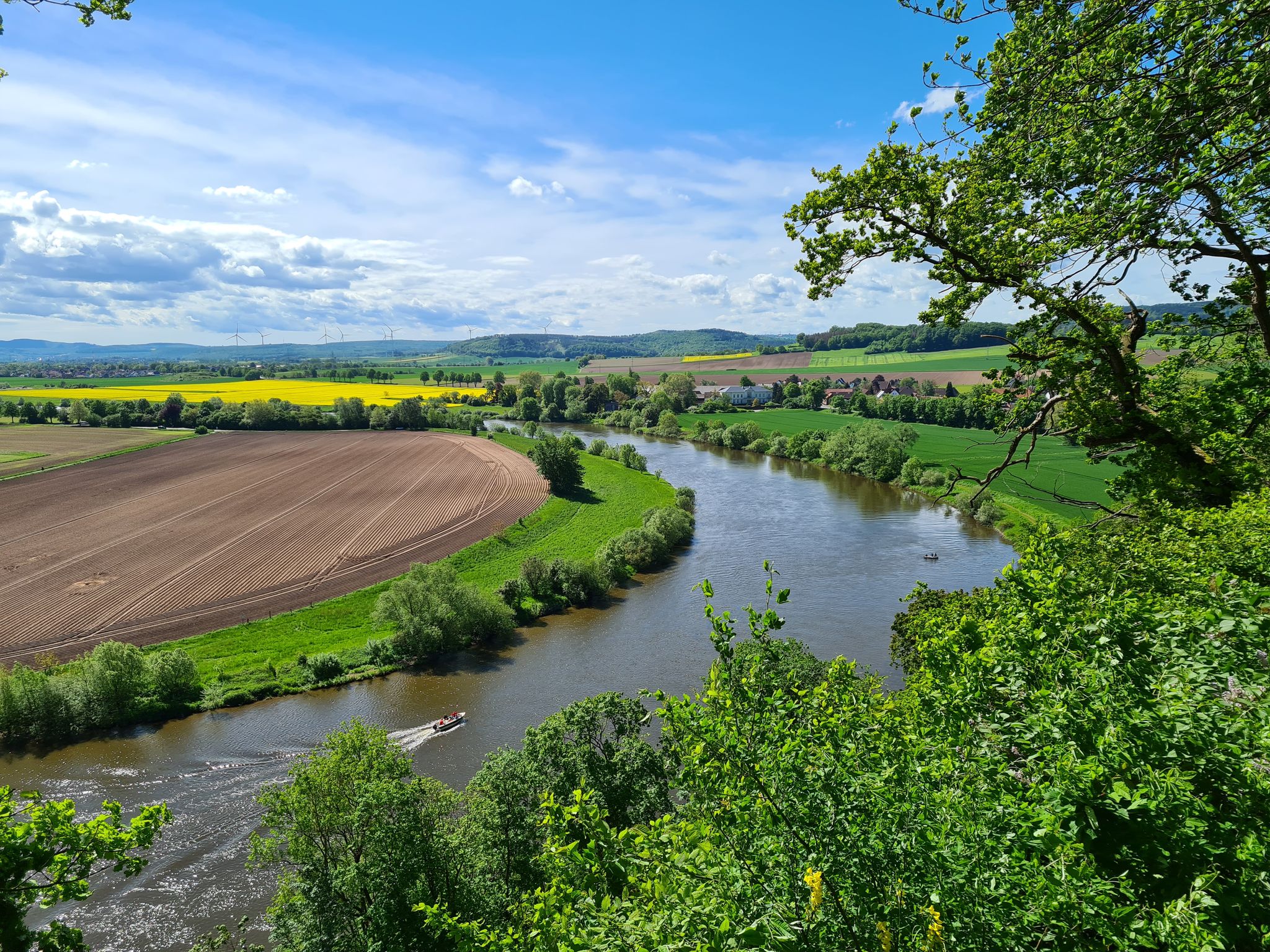
모나스터리에서 모나스터리로 피뢰로움-볼켄로다 순례로를 따라
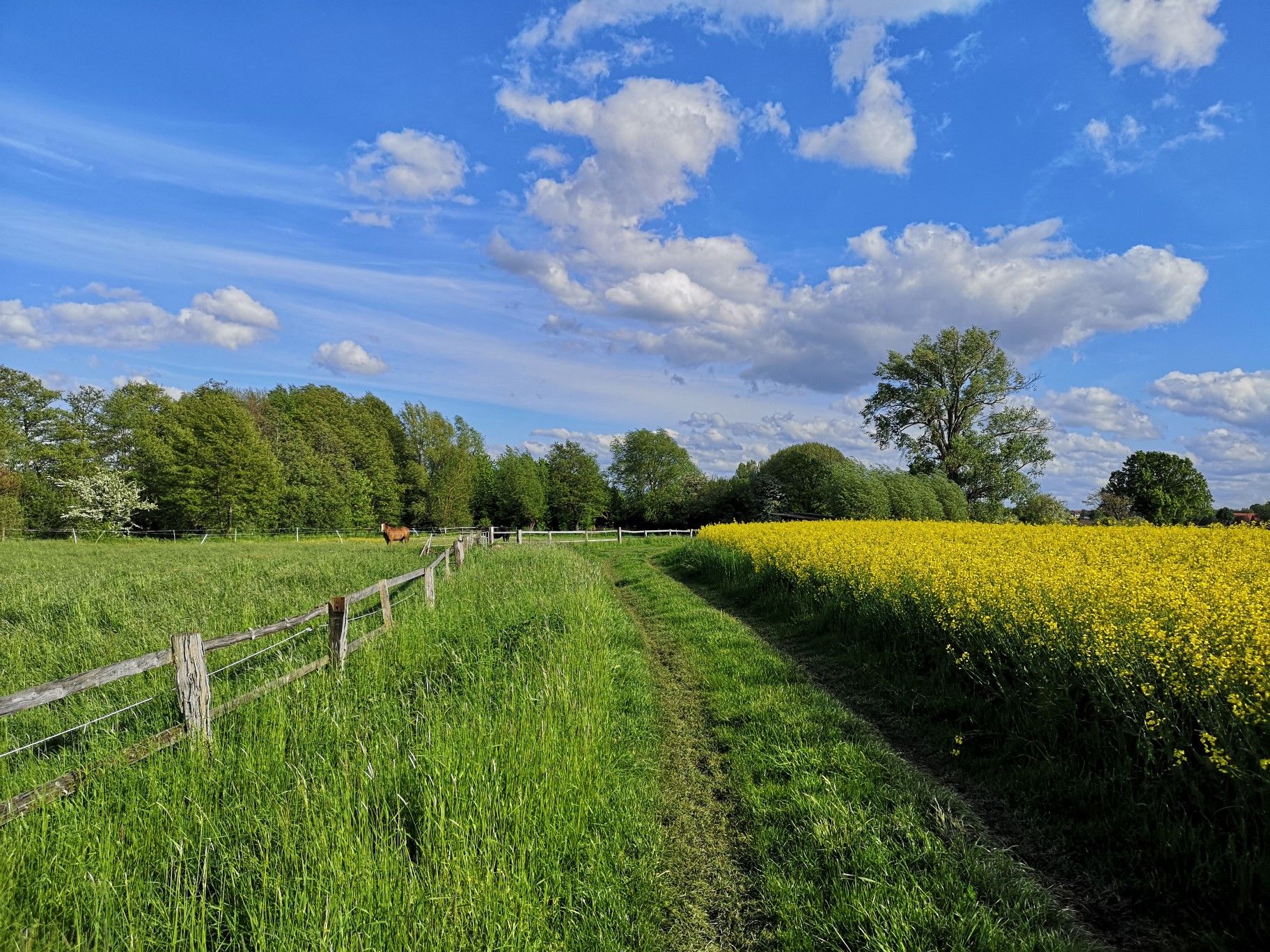
부드러운 언덕과 푸른 숲 - 독일 뷔케베르크 트레일에서 하이킹
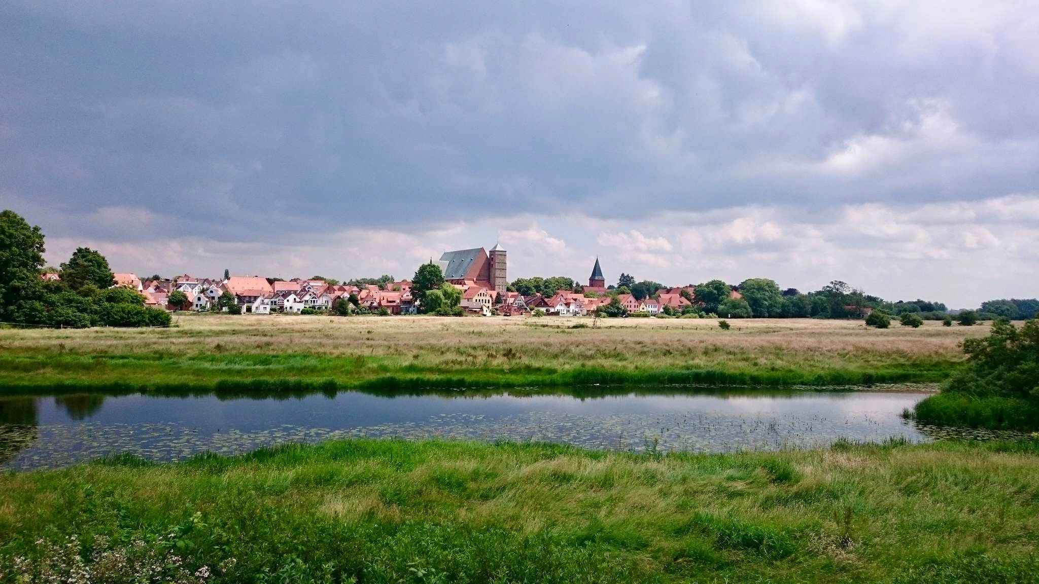
Weser 자전거 도로
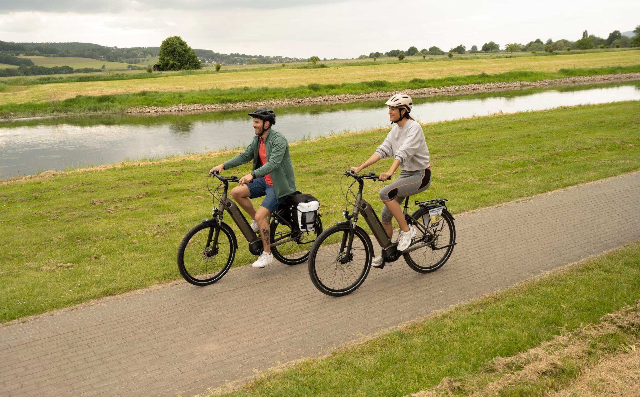
Relaxed rides in the Weser Uplands – E-bike routes with spectacular views
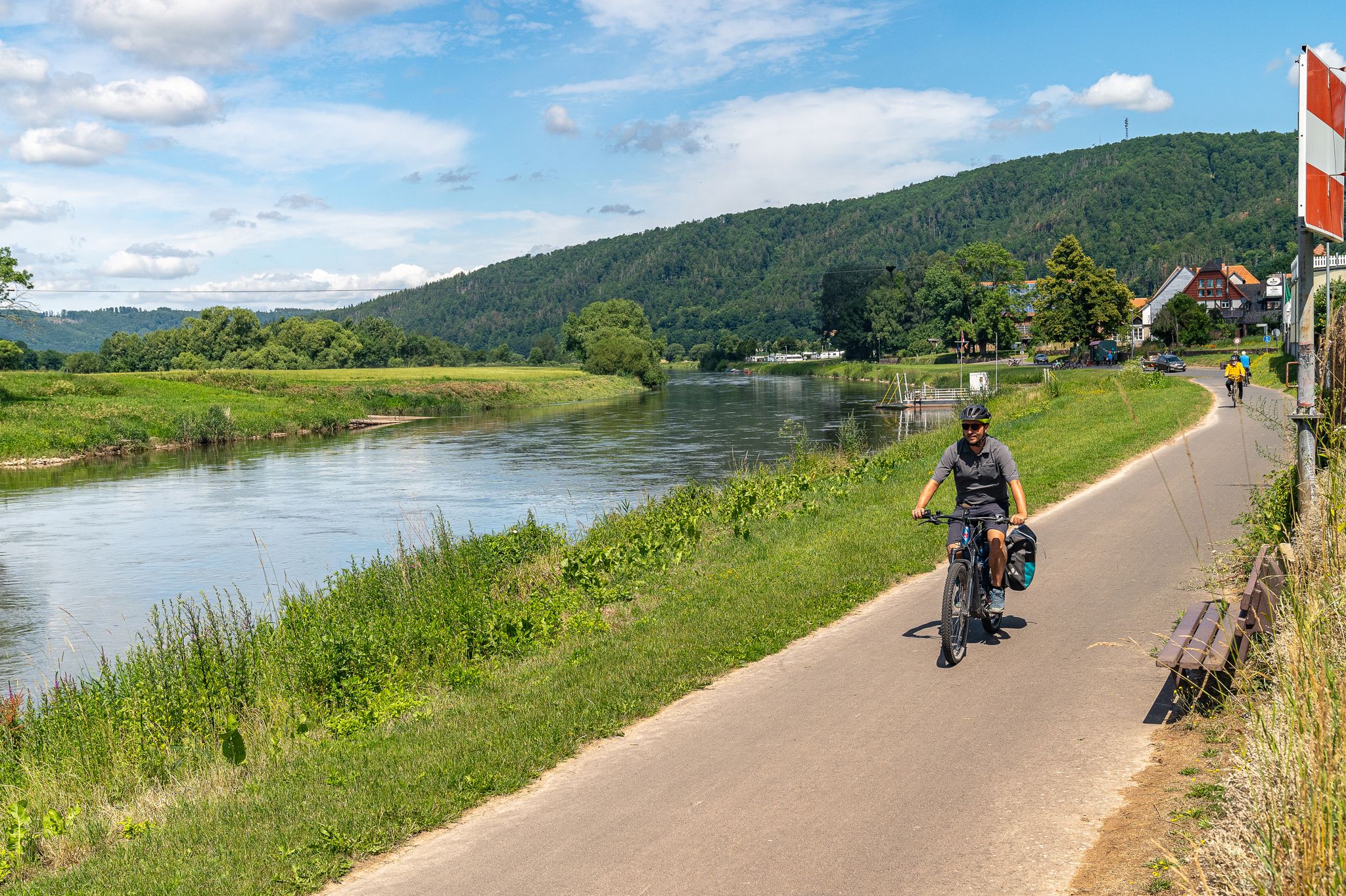
Freedom and pure cycling pleasure – Bike & Camp in the Weser Uplands
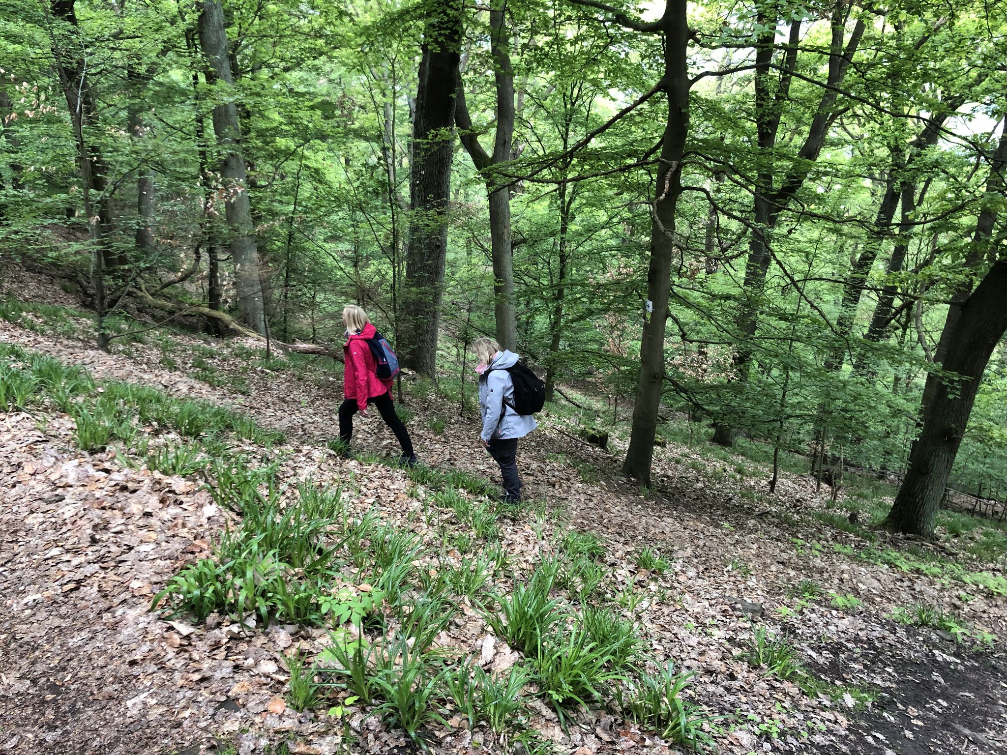
On the Discoverer's trail Explore Rehburg-Loccum
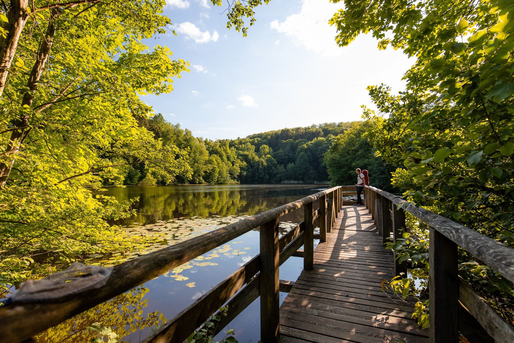
Time in the countryside – recharge your batteries in the Weserbergland

Nature, culture & cycling fun – top 10 Tours in the Weser Uplands
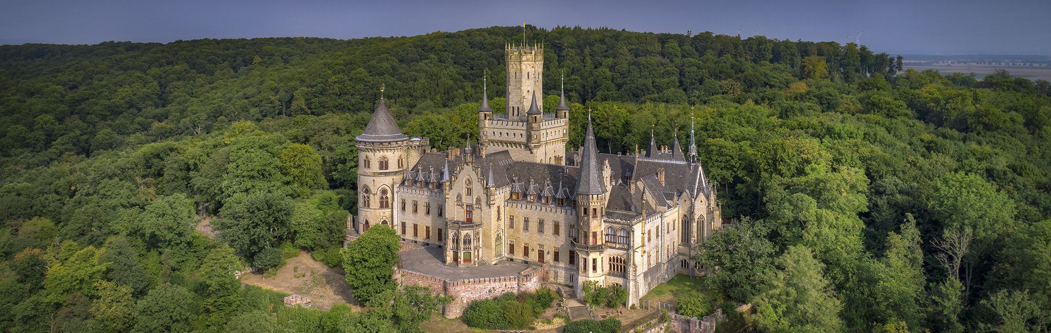
Cultural route in Niedersachsen – By Bike through Hannover and the surrounding countryside
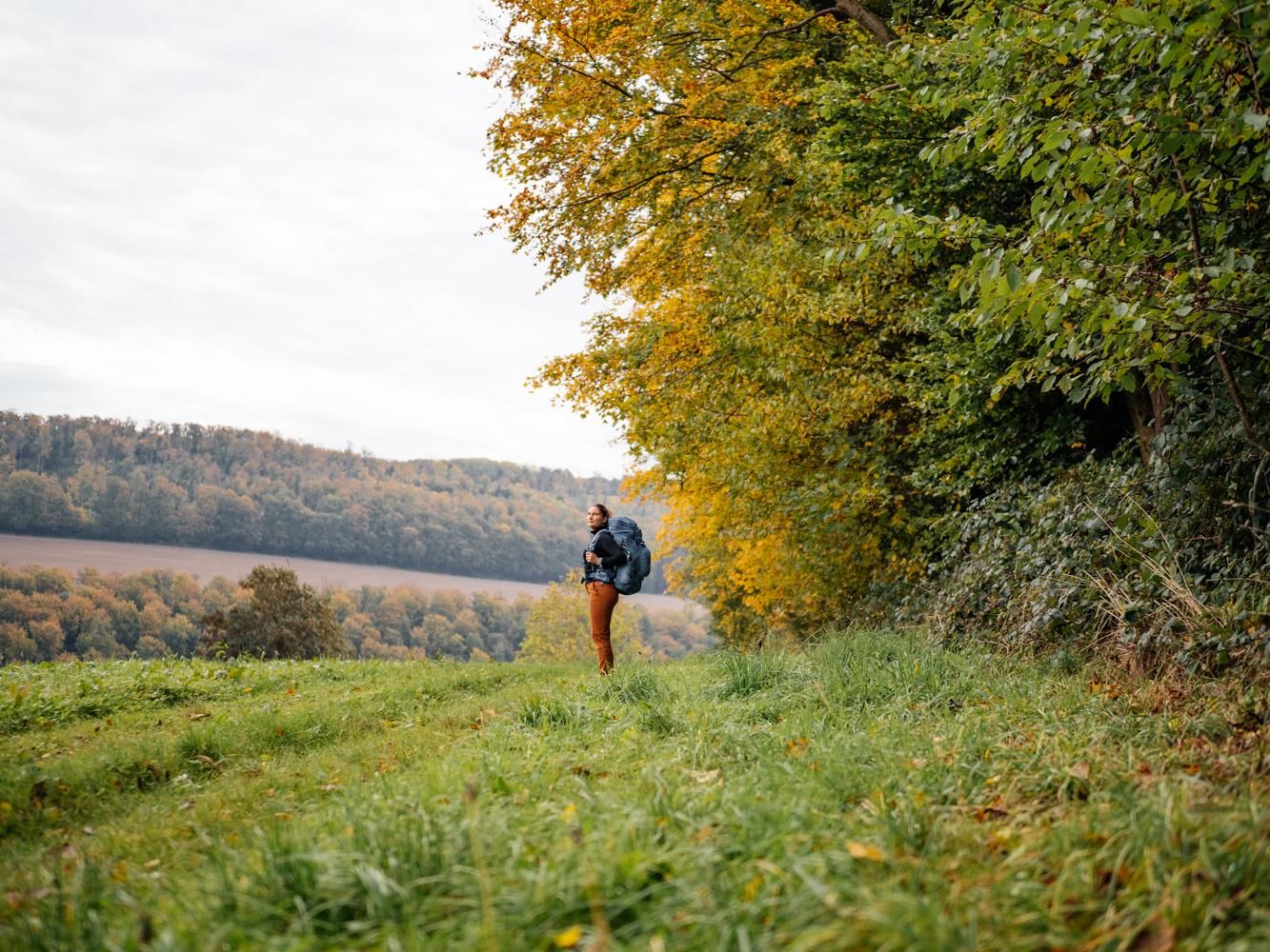
Weser Uplands Trail in autumn – out and about with Fräulein Draußen
샴버그의 다른 모험


커뮤니티 팁

The Walterbach is a small, unassuming, yet significant stream in the Deister hills, giving its name to the Walterbach Valley. It originates in the wooded heights of this low mountain range and flows gently through a diverse valley of meadows, moorland, and dense deciduous forests. Its course appears natural and largely untouched, giving the stream special ecological value. Typical of the Walterbach is its clear, cool water, which meanders gently through the valley. Alders, willows, and ferns grow along its banks, providing shade for the stream and simultaneously offering habitat for numerous animals. Amphibians, dragonflies, and waterfowl find ideal conditions here, while the stream itself is home to small animals and insect larvae, which play a vital role in the ecological balance. The Walterbach not only shapes the natural landscape but also the atmosphere of the valley. Its soft babbling accompanies walkers and hikers on the surrounding paths, enhancing the feeling of peace and seclusion. Especially during periods of heavy rain, the stream becomes more prominent, demonstrating just how dynamic and vibrant this small body of water can be. Historically, the Walterbach likely played a role in the water supply and the use of the surrounding land, for example, for grazing livestock or small-scale forestry.
1
0

The Springsteine in the Weserbergland region are a striking rock formation of ancient sandstone and limestone, rising jagged and bizarre from the wooded ridge near Deckbergen. Between narrow crevices, small caves, and steep rock outcrops, an impressive piece of geological history is revealed, providing a habitat for bats, among other creatures. The name "Springsteine" derives from their once prominent location, visible from afar, when they stood like prominent landmarks above the valley. Today, narrow paths wind through them, making the Springsteine a particularly attractive destination for hikers who appreciate geological features, tranquility, and unusual natural formations.
0
0

The Hohenrode Floodplain Nature Reserve is an ecological highlight in the Weser Valley near Rinteln and an excellent destination for nature-loving cyclists. This fascinating landscape stretches across an area of approximately 127 hectares in a bend of the Weser River – a successful example of renaturation and sustainable nature conservation in a former gravel mining area. Since the 1990s, the floodplain landscape has been managed by the NABU Rinteln group. What was once an industrial mining site has been transformed into a mosaic of shallow water zones, gravel pits, islands, oxbow lakes, and riparian forests. This diversity has created an important refuge for numerous endangered animal and plant species. The area is particularly known for its rich birdlife: Common terns, white-tailed eagles, ospreys, black storks, and waders find breeding or resting sites here. An ornithological highlight is the successful reintroduction of the common tern, which is breeding here for the first time in over 100 years. Visitors can use an observation tower and the Dieter Eggersmann observation hut, from which animals can be observed in their natural habitat. Information panels explain the special features of the habitat, its history, and the contribution of the Nature and Biodiversity Conservation Union (NABU) to the maintenance and development of the protected area. The play of light over the still waters is particularly impressive in the early morning hours or at sunset. The floodplain landscape is located directly on the Weser Cycle Route and is therefore perfect as a stopover or destination for a nature-oriented bike ride. Access is via a gravel parking lot near Hohenrode. NABU offers regular guided tours of the area – on the first Sunday of even-numbered months at 11 a.m. Those who want to experience the slow change of nature and understand the dynamics of a river landscape will find in the Hohenrode floodplain landscape an inspiring example of how nature can be left to its own devices and still be full of life – ideal for a peaceful break on the bike.
0
0
The Springsteine owe their name to the fact that in the past - when the mountains were not yet so densely forested - they could be seen "jumping out" from the valley of the cliffs on the slope.
1
0

Interesting rock formations from which the Springsteine, also located on the hike, were created
0
0

A very beautiful small bridge over the Walterbach
0
0

Beautiful view over the NSG Auenlandschaft Hohenrode.
2
0

샴버그에서 가장 인기 있는 명소


찾고 계신 것을 찾지 못하셨나요?
지역별 최고의 하이라이트를 확인하여 샴버그의 더 놀라운 자연 기념물을 찾아보세요:
더 살펴보기
샴버그의 최고의 동굴을 찾기 위해 이 가이드를 확인해보세요:
