악트카르스펠렌에서 가장 멋진 19개의 천연기념물
천연기념물을 방문하여 악트카르스펠렌의 아름다운 풍경을 만나보세요. 악트카르스펠렌에 있는 19
개의 천연기념물과 상세 정보를 살펴본 후에 방문하고 싶은 천연기념물을 다음 모험 계획에 추가해보세요!
마지막 업데이트: 10월 9, 2026
라우어스메어 국립공원
하이라이트 • 자연 기념물
The Lauwerszee, an inlet named after the river Lauwers, used to be open to the Wadden Sea. After the storm surge of 1953, fears of flooding led to plans …
번역자 Google •
팁에 의해

라우어스미어 다크 스카이 파크 전망대
하이라이트 • 전망대
번역자 Google •
팁에 의해

이런 장소를 발견하려면 지금 가입하세요
최고의 싱글 트랙, 봉우리 및 다양한 흥미로운 야외 장소에 대한 추천을 받아보세요.

Lauwersmeer 전망대
하이라이트 • 전망대
번역자 Google •
팁에 의해


오늘 무료 계정으로 시작하세요
다음 모험이 기다리고 있어요.



커뮤니티 팁

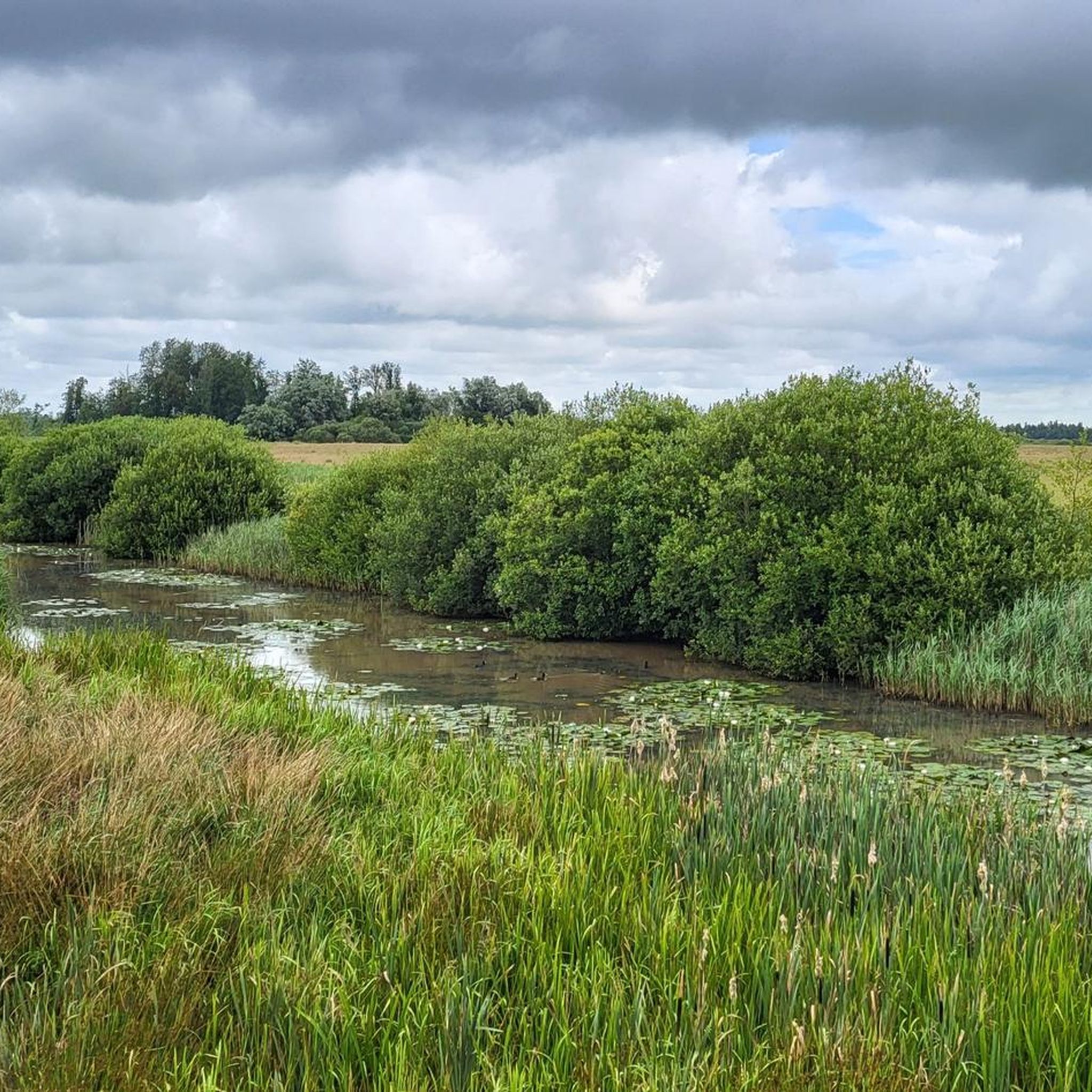
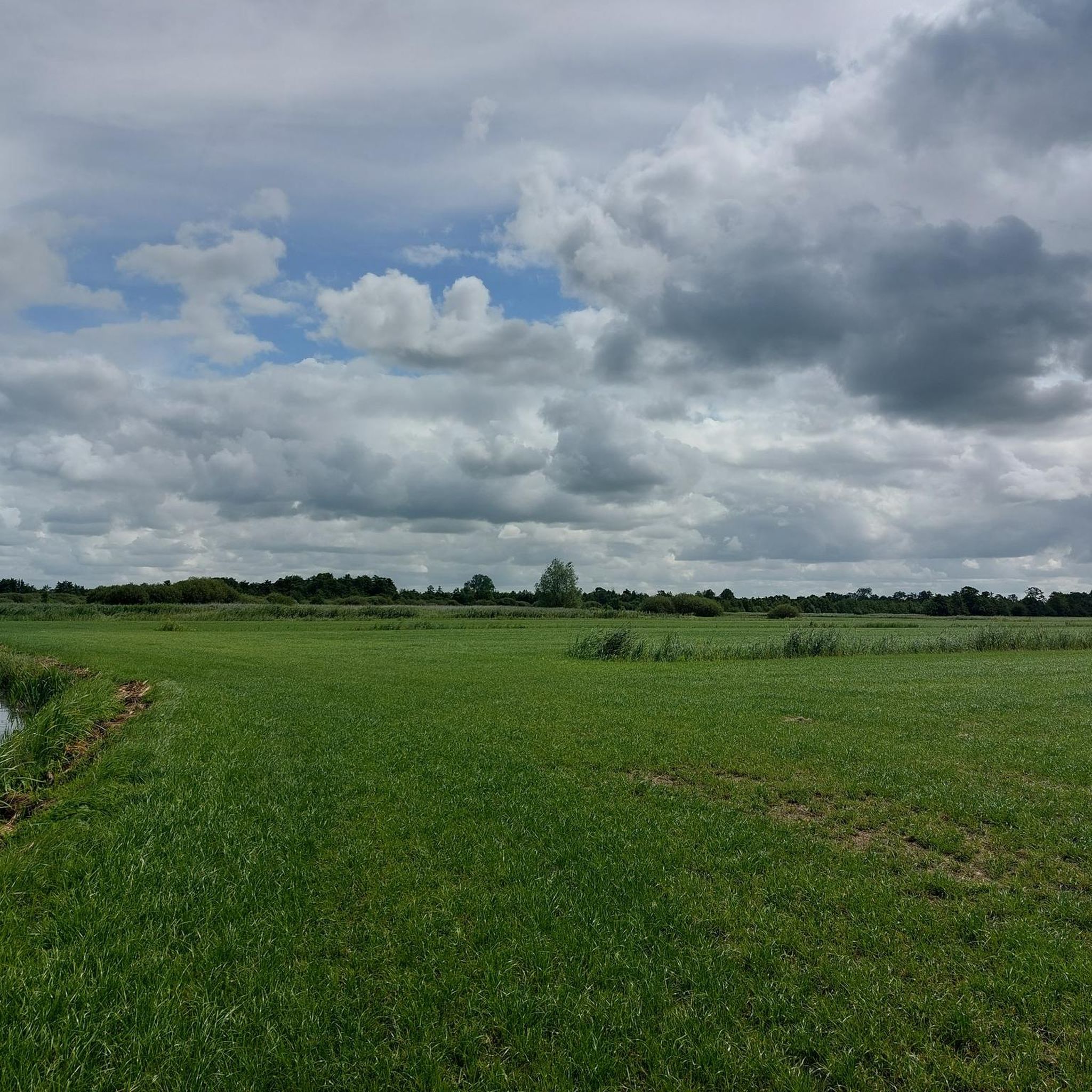
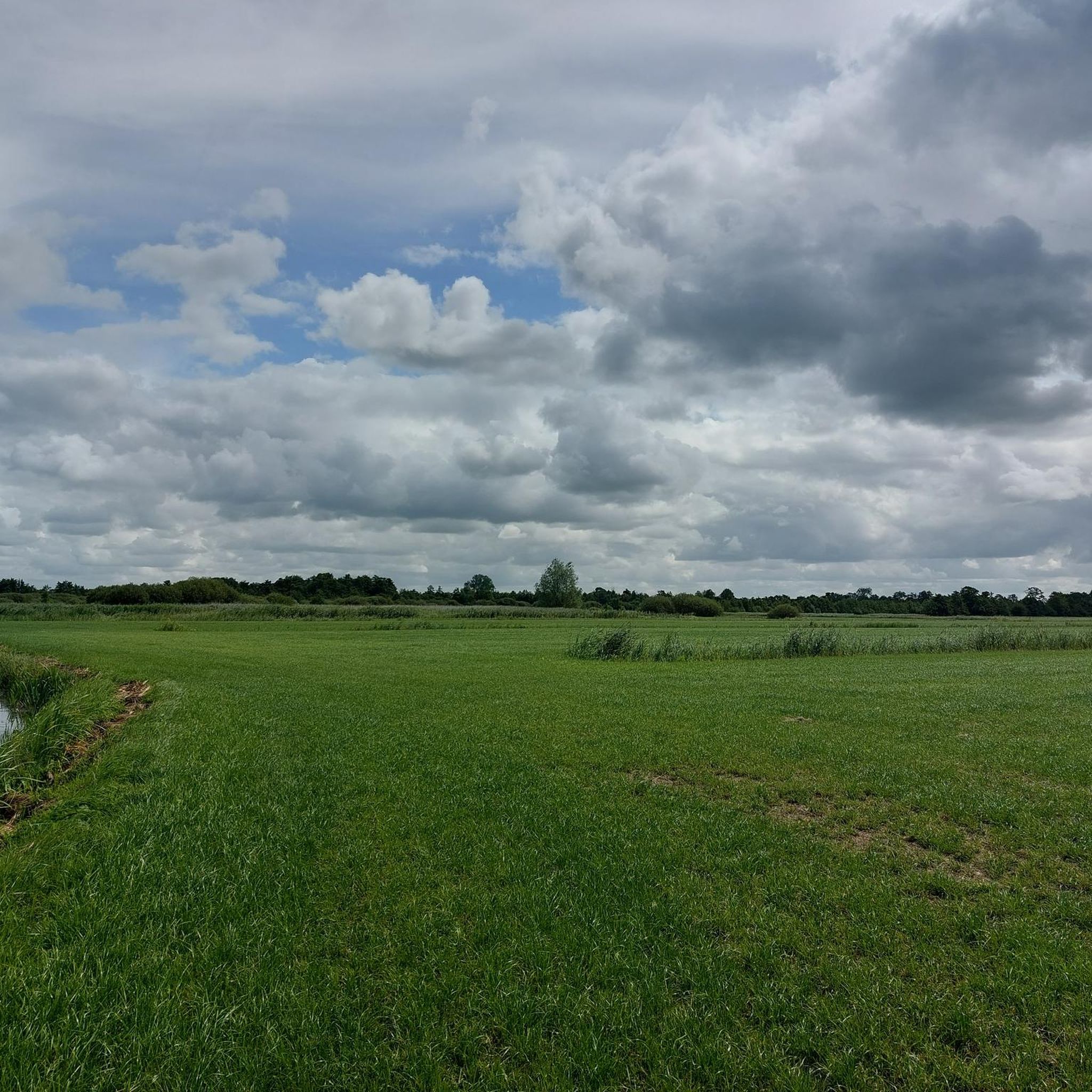
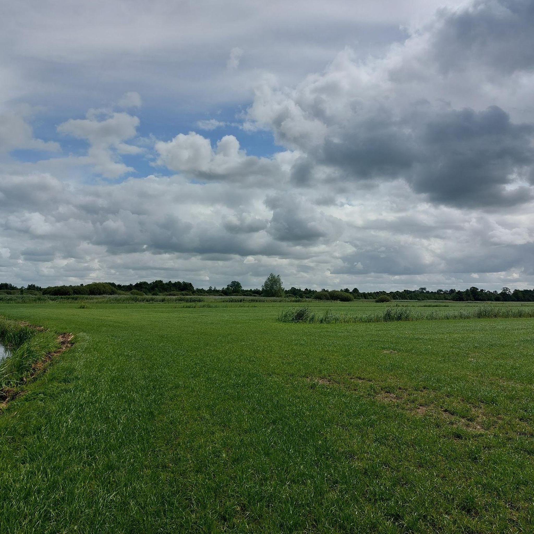
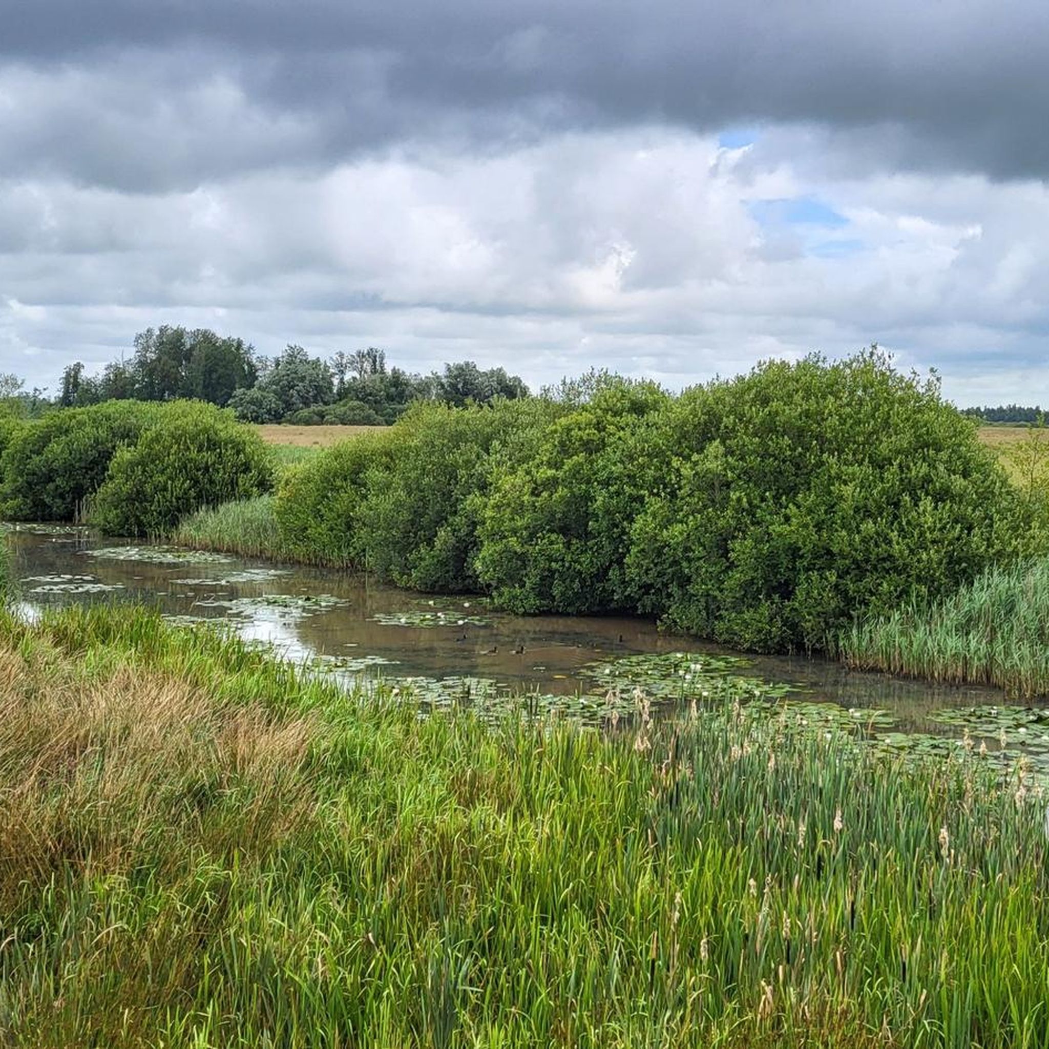
네덜란드 북부의 흐로닝언(Groningen)과 프리슬란트(Friesland) 주에 위치하며, 2003년 11월에 라우어르스메르 국립공원(Lauwersmeer National Park)으로 지정되었습니다. 2016년에는 DARK SKY PARK로 지정되었으며, 이는 네덜란드에서 이 인정을 받은 두 번째 장소입니다. 하이킹 및 자전거 도로 외에도 수상 스포츠 활동을 위한 공원 내 공개 구역, 조류 관찰 장소/타워가 있습니다.
0
0
네덜란드 북부의 흐로닝언(Groningen)과 프리스란트(Friesland) 주에 위치한 라우어르스메르(Lauwersmeer)는 2003년 11월 국립공원으로 지정되었습니다. 2016년에는 DARK SKY PARK로 지정되었으며, 이는 네덜란드에서 이 인정을 받은 두 번째 장소입니다. 공원에는 하이킹 및 자전거 도로 외에도 수상 스포츠를 즐길 수 있는 공개 구역과 물론 최고의 조류 관찰 장소가 있습니다.
0
0

The Zomerhuisbos viewpoint offers a great view of the Lauwersmeer lake landscape.
1
0


The Freulevijver, located in the Oude Bos between Wijnjewoude and Bakkeveen, is an idyllic and historic place. The forest was created around 1880 by the noble family Lycklama à Nijeholt as a private park and production forest. The pond was created by a dike breach of the nearby Koningdiep, and was enlarged around 1900 by Jonkvrouw Eritia Lycklama à Nijeholt. Although the original tea house and boathouse have disappeared, the location remains a beautiful spot for a picnic, with a natural gazebo that is reminiscent of the former charm of the place.
1
0


Lovely place to rest for a while, especially when the rhododendron is in bloom
0
0

Flora and fauna The park is home to a variety of orchids, marsh marigolds and wild roses. The open areas are protected from overgrowth by grazing Scottish Highland cattle. In addition to the cattle, a population of Konik horses has also been established in the national park. The national park is an important resting place for migratory birds on their journeys. In addition to common waterfowl such as geese and ducks, rarer species such as the kingfisher or birds of prey such as sea eagles and peregrine falcons can also be observed. Flamingos have also been spotted in the national park.
4
0
악트카르스펠렌 주변에서 가장 인기 있는 명소


더 살펴보기
악트카르스펠렌 주변의 최고의 동굴을 찾기 위해 이 가이드를 확인해보세요:
