레 플랜티에에서 가장 멋진 9개의 천연기념물
천연기념물을 방문하여 레 플랜티에의 아름다운 풍경을 만나보세요. 레 플랜티에에 있는 9
개의 천연기념물과 상세 정보를 살펴본 후에 방문하고 싶은 천연기념물을 다음 모험 계획에 추가해보세요!
마지막 업데이트: 9월 12, 2026

Signal de Saint-Pierre 전망대 안내판
하이라이트 • 전망대
번역자 Google •
팁에 의해

이런 장소를 발견하려면 지금 가입하세요
최고의 싱글 트랙, 봉우리 및 다양한 흥미로운 야외 장소에 대한 추천을 받아보세요.
상부 에로 계곡 전망
하이라이트 • 전망대
번역자 Google •
팁에 의해

세번 국립공원 바위길
하이라이트 (구간) • 트레일
번역자 Google •
팁에 의해

리크 세르 트레일의 뒤틀린 나무
하이라이트 (구간) • 자연 기념물
Today the path leads to Departmental 9: the Corniche …
번역자 Google •
팁에 의해
무료로 가입하여 레 플랜티에 주변의 더 많은 자연 기념물을 발견하세요.
이미 komoot 계정이 있나요?
오늘 무료 계정으로 시작하세요
다음 모험이 기다리고 있어요.

커뮤니티 팁


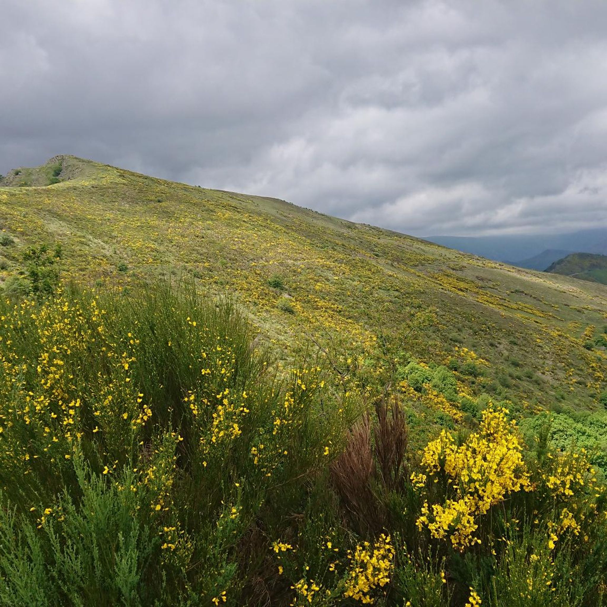
The Lique Ser trail linked Saint-André-de-Valborgne to Pompidou and was protected by the Château de Nogaret built in the 12th century. Today the path leads to Departmental 9: the Corniche des Cévennes, which offers magnificent panoramas and which was built for the circulation of the king's troops during the war of the Camisards.
0
0
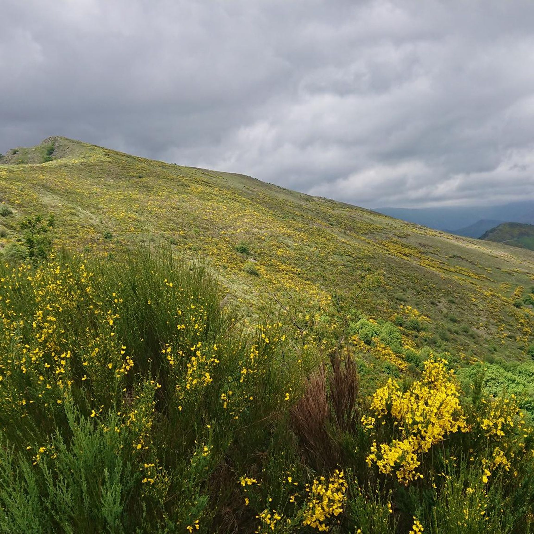
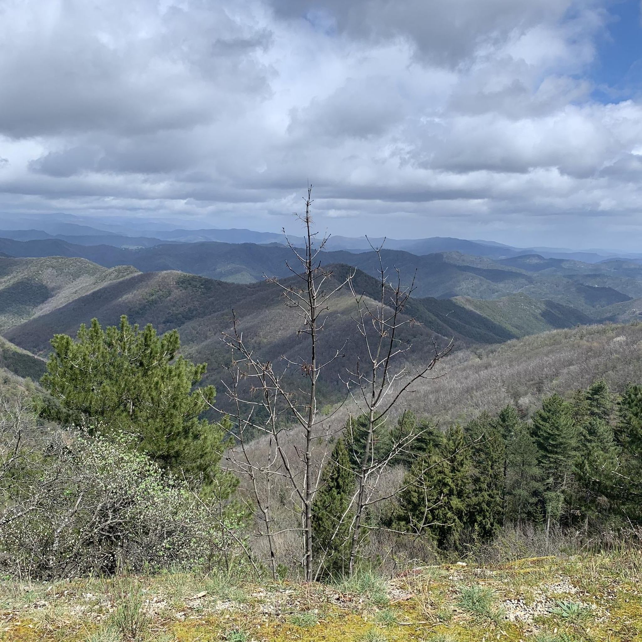
The Signal Saint-Pierre, a few hundred meters from the Col Saint-Pierre, allows you to contemplate the Cévennes at an altitude of 695m.
0
0
The Signal Saint-Pierre, a few hundred meters from the Col Saint-Pierre, allows you to contemplate the Cévennes at an altitude of 695 meters.
0
0

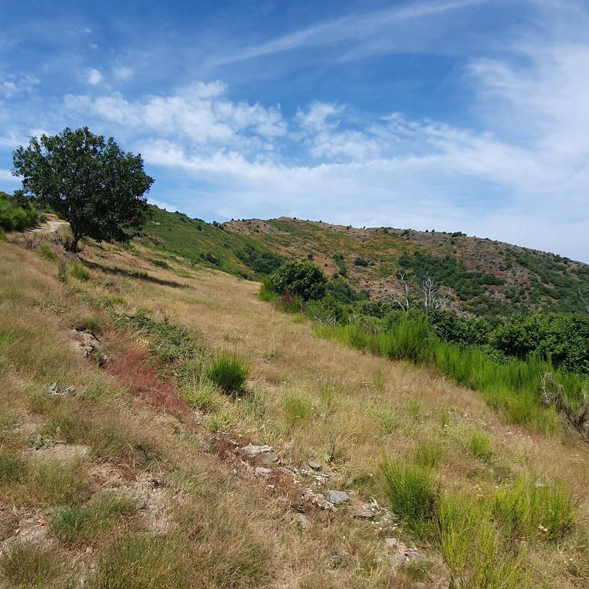
If you take this path expect 75% buggy. Big stones, steep climbs, rock climbing. Doable but not easy. Attention: At the end do not go along the fence on the right even if you see houses. The owner, instead of putting a sign at the start of the path, has blocked the path just before the road and you have to climb a hill with an electric fence right next to it.
1
0

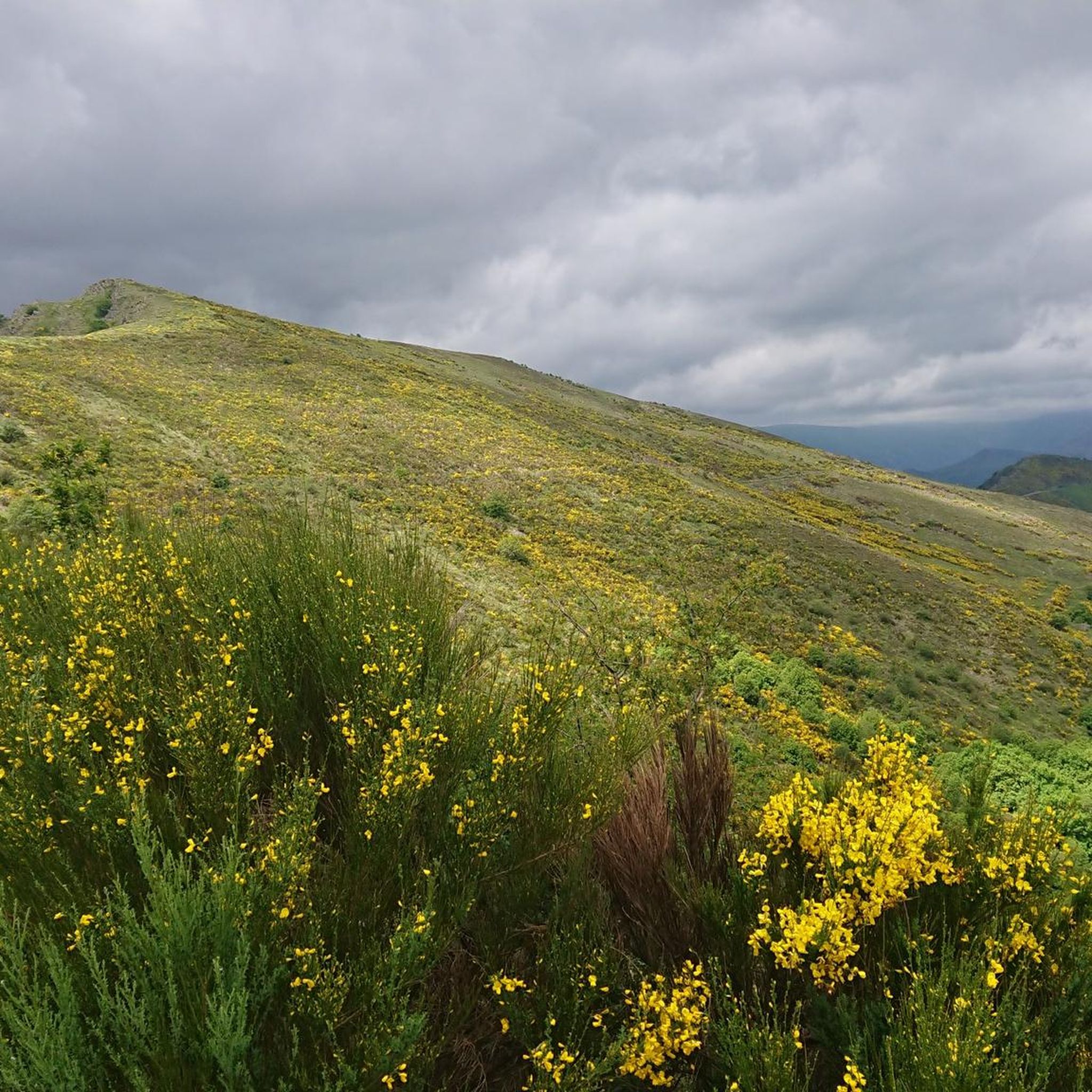
Take five minutes to contemplate the landscape. There is a bench along the road, should you wish to sit down.
0
0

Over 4000 stony steps to the summit: consistently steep but easy to walk
2
0

This section marks the actual core of the route: the ascent from Valleraugue to Mont Aigoual, the second highest point in the Cevennes, on which there is a weather station and viewing platform. There is a view to the Mediterranean in a southerly direction, which I was not allowed to do that day, and in a northerly direction to Mont Lozère. I would take sticks with me next time, because as an experienced trail runner you will speedhike over long distances. You don't have to constantly stare at your GPS, because you can't get lost on the ascent, at least. Theoretically there is a restaurant up here where you can buy something to eat or drink. When I got up here everything was closed and there were hardly any people around. So better take precautions.
1
0
레 플랜티에 주변에서 가장 인기 있는 명소


더 살펴보기
레 플랜티에 주변의 최고의 동굴을 찾기 위해 이 가이드를 확인해보세요:
