생 안데올 르 샤토에서 가장 멋진 5개의 천연기념물
천연기념물을 방문하여 생 안데올 르 샤토의 아름다운 풍경을 만나보세요. 생 안데올 르 샤토에 있는 5
개의 천연기념물과 상세 정보를 살펴본 후에 방문하고 싶은 천연기념물을 다음 모험 계획에 추가해보세요!
마지막 업데이트: 7월 17, 2026
몽타니 초원과 황야 (보호구역)
하이라이트 (구간) • 자연
번역자 Google •
팁에 의해

르 시그날 드 생 앙드레
하이라이트 • 정상
번역자 Google •
팁에 의해

이런 장소를 발견하려면 지금 가입하세요
최고의 싱글 트랙, 봉우리 및 다양한 흥미로운 야외 장소에 대한 추천을 받아보세요.
무료 회원 가입
Madonne de la Croix-Régis
하이라이트 • 기념물
번역자 Google •
팁에 의해

오늘 무료 계정으로 시작하세요
다음 모험이 기다리고 있어요.
로그인 또는 가입하기


커뮤니티 팁

Be careful, some sections are really difficult to pass, you will have to push the bike. Some single sections overlook a river.
0
0

Landscaped summit (accessible on foot) commemorating the locations of the geographer César-François Cassini de Thury between 1758 and 1761.
0
0

The Roches de Marlin, also called “Devil’s Stones”, are located at an altitude of 1,370 meters and offer a breathtaking view of the Gier valley. At the origin of very ancient and mysterious stories, they are one of the best-known megalithic sites in the Pilat region.
0
1
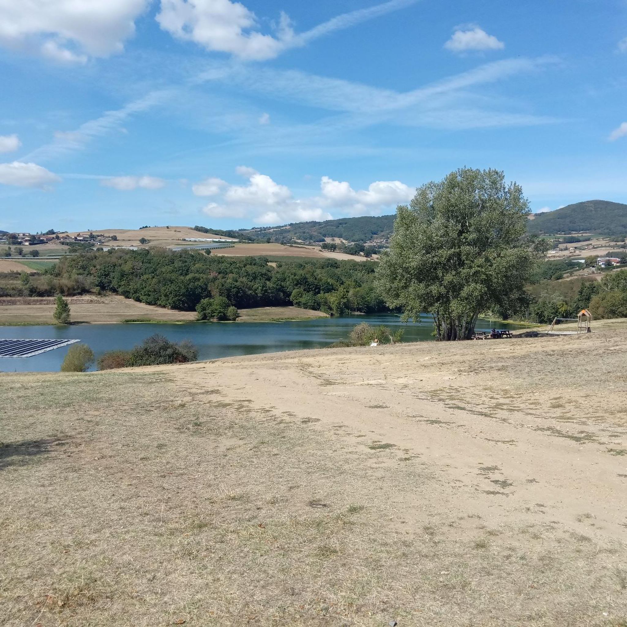
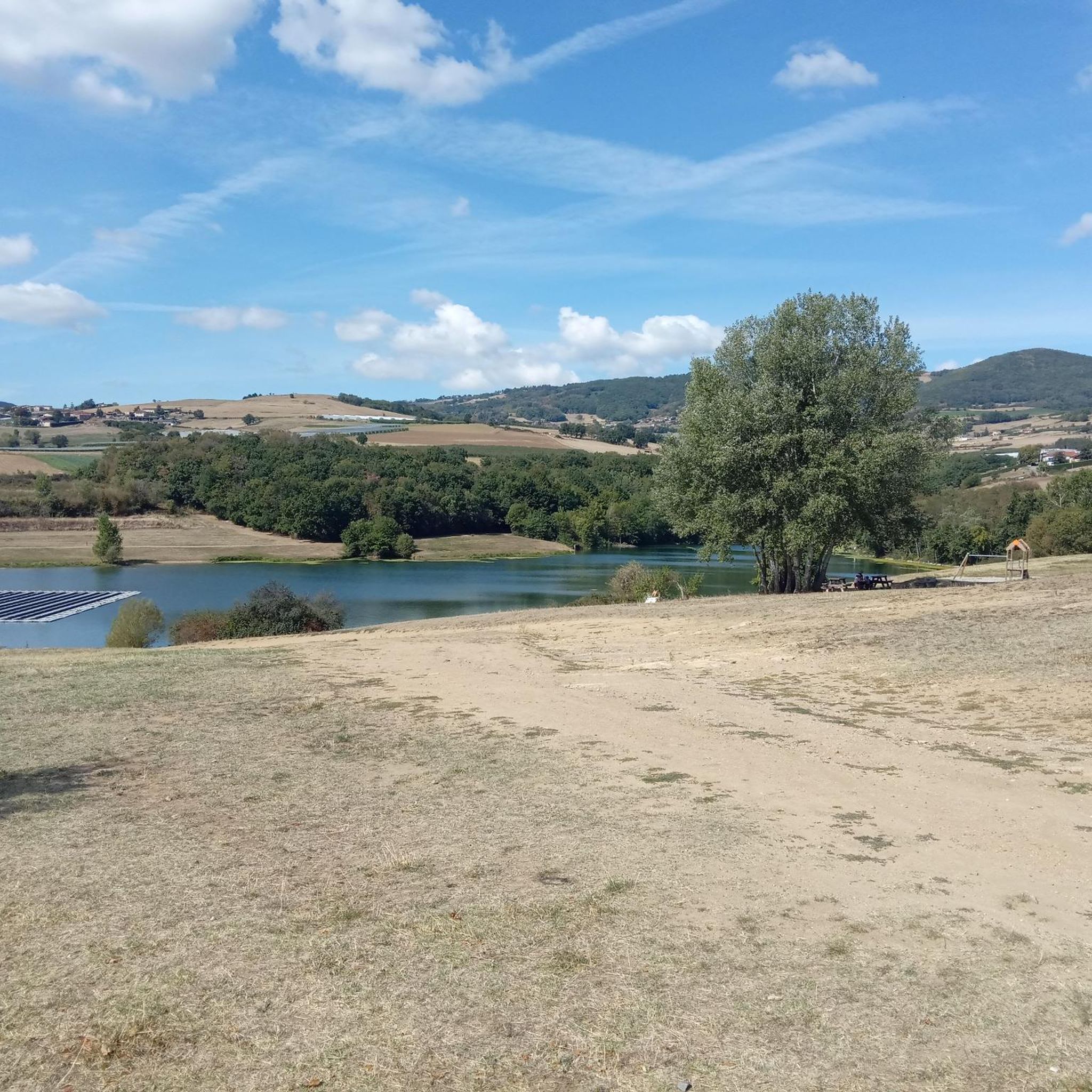
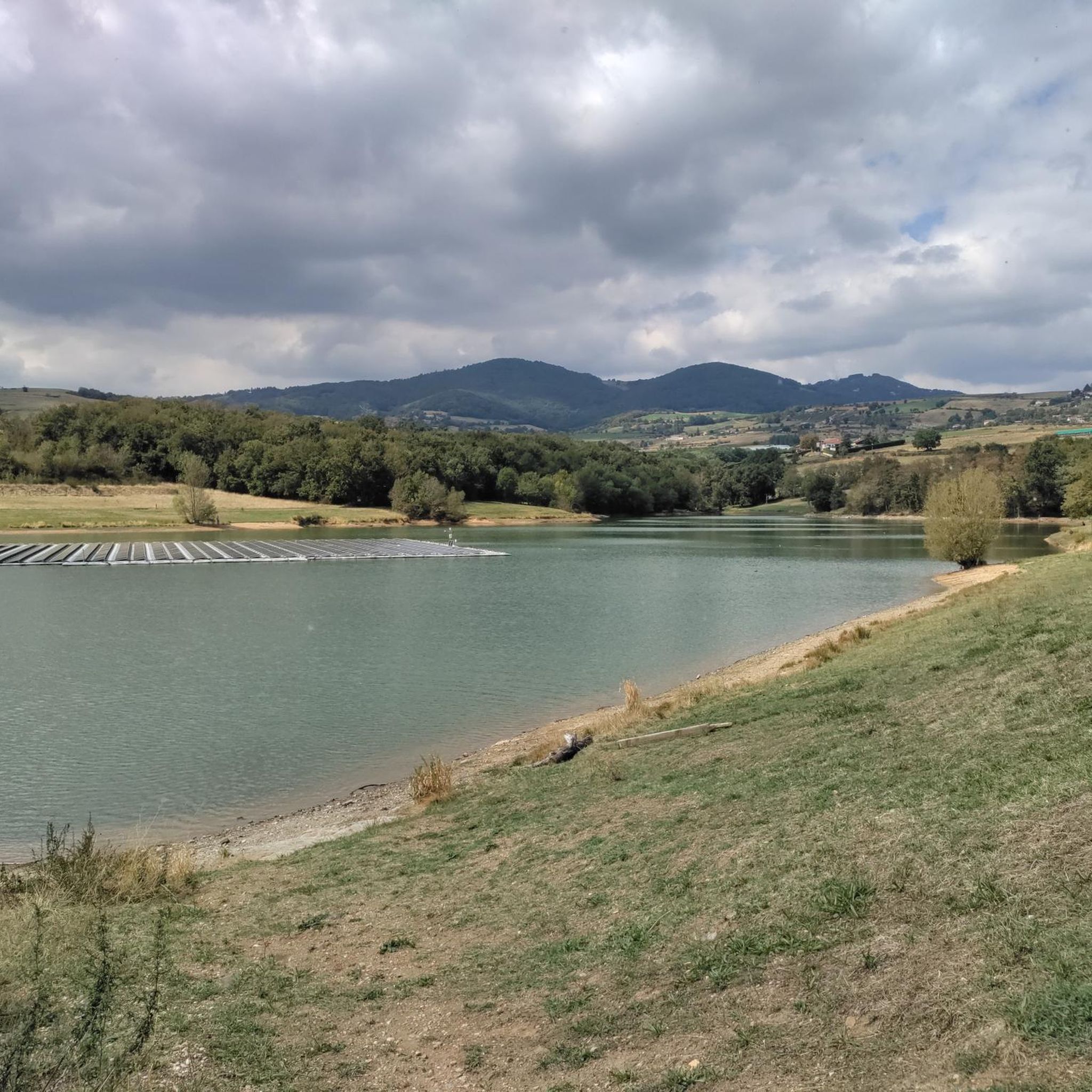
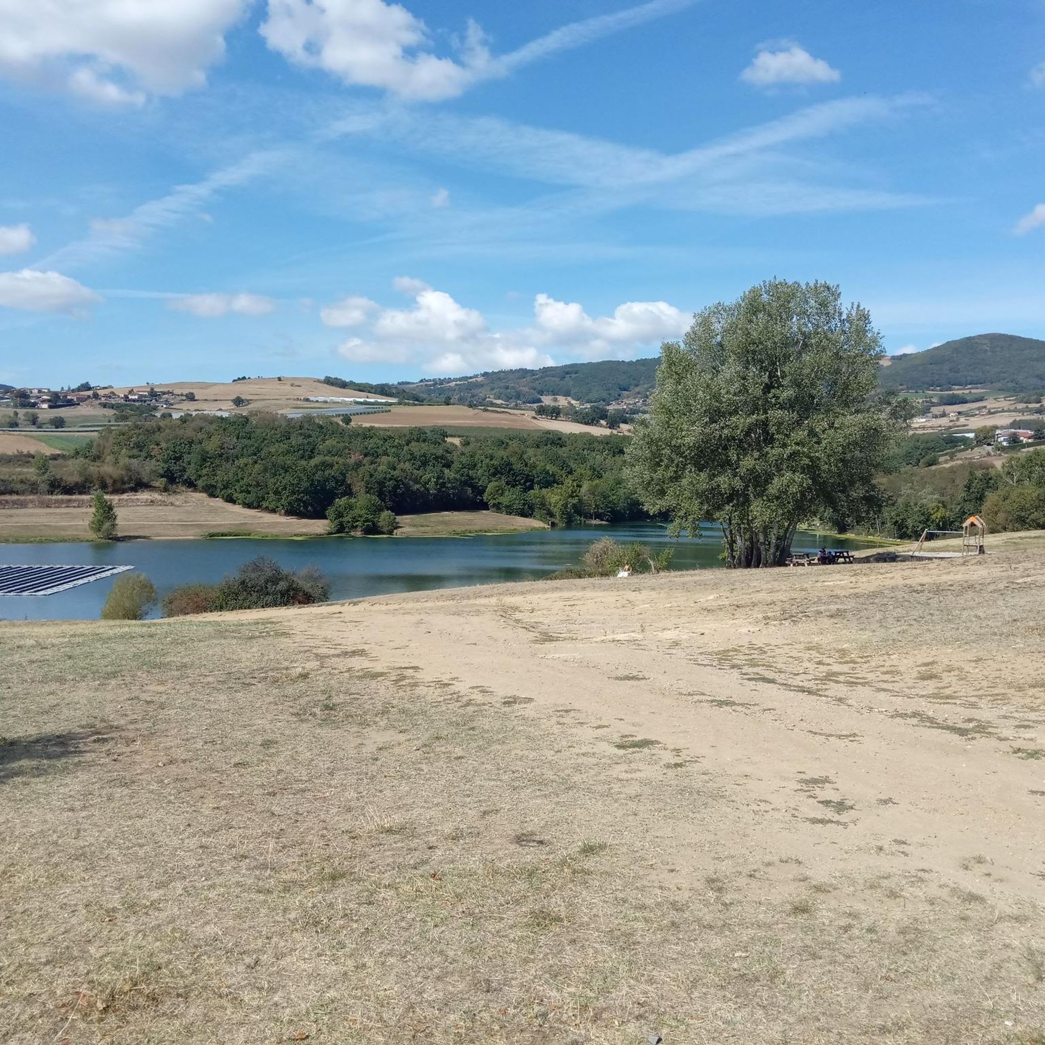
Located on a plateau at an altitude of 330 meters, the Montagny meadows and moors area was protected in 1993 in order to preserve the integrity of biological balances and prevent the disappearance of animal and plant species. Nine remarkable bird species, three invertebrate species, nine plant species and one European amphibian (great crested newt) live in this environment. Note that mountain biking off the trails is prohibited in this area.
0
0

The Signal de Saint André, at an altitude of 934m, is one of the highest points of the Monts du Lyonnais. At the top, accessible on foot via a small path, a belvedere allows you to enjoy a view overlooking the Valley.
1
0

View of the Rhone at the feet of the Madonna of the Croix-Régis.
0
0
생 안데올 르 샤토 주변에서 가장 인기 있는 명소


더 살펴보기
생 안데올 르 샤토 주변의 최고의 동굴을 찾기 위해 이 가이드를 확인해보세요:
