라라자세에서 가장 멋진 5개의 천연기념물
천연기념물을 방문하여 라라자세의 아름다운 풍경을 만나보세요. 라라자세에 있는 5
개의 천연기념물과 상세 정보를 살펴본 후에 방문하고 싶은 천연기념물을 다음 모험 계획에 추가해보세요!
마지막 업데이트: 10월 19, 2026
르 시그날 드 생 앙드레
하이라이트 • 정상
번역자 Google •
팁에 의해

시그날 드 생트앙드레라코트 전망대
하이라이트 • 전망대
번역자 Google •
팁에 의해

이런 장소를 발견하려면 지금 가입하세요
최고의 싱글 트랙, 봉우리 및 다양한 흥미로운 야외 장소에 대한 추천을 받아보세요.
크레 말에르브 — 리옹네 산지의 최고봉
하이라이트 • 정상
번역자 Google •
팁에 의해

샤토 드 샤텔뤼와 비에르 분수
하이라이트 • 역사적 장소
번역자 Google •
팁에 의해

오늘 무료 계정으로 시작하세요
다음 모험이 기다리고 있어요.
커뮤니티 팁

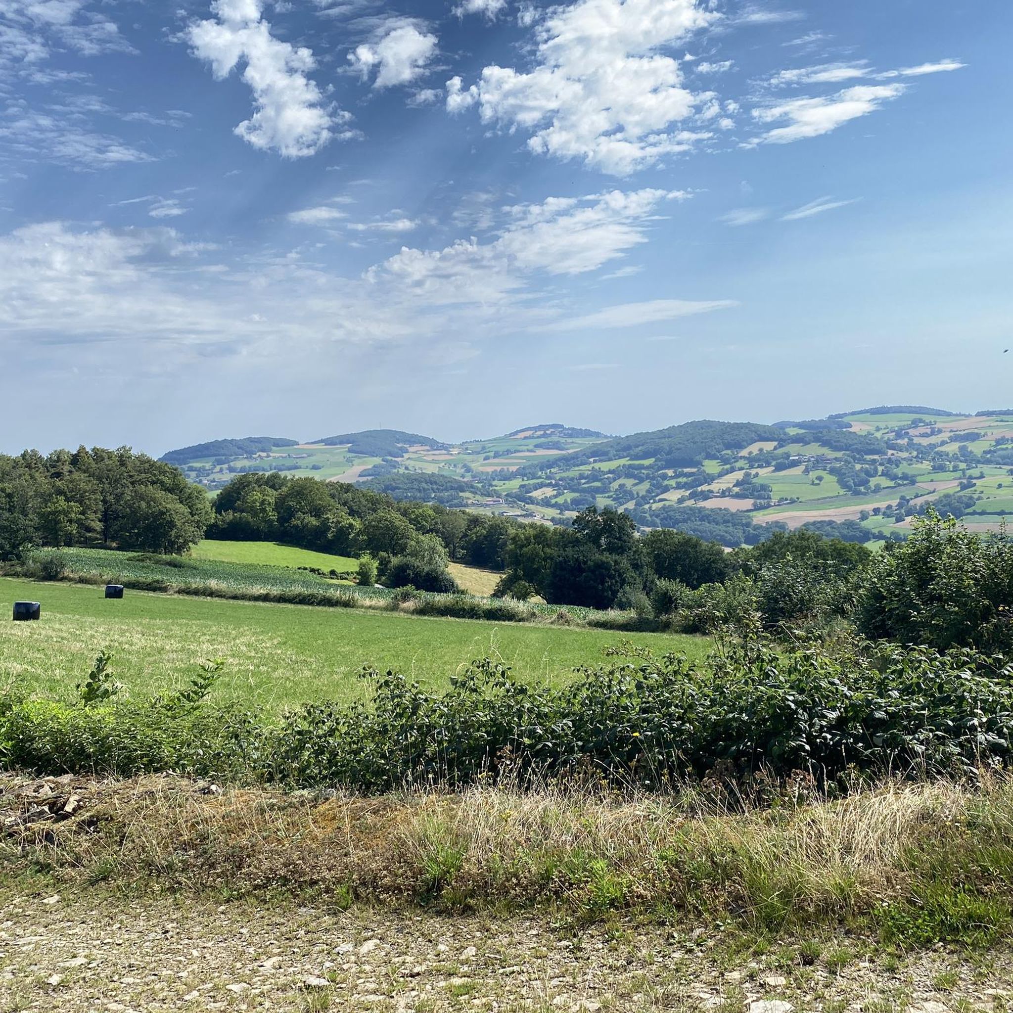
A beautiful hike, sometimes steep in its descent, but it doesn't last long... beautiful, unobstructed views.
0
0

Departure parking: hikers' parking in Yzeron, hike, easy to do with children and families
0
0

The Signal site, an emblematic highest point in the Monts du Lyonnais, located at 934 meters, equipped with a belvedere and an orientation table.
0
0

Interesting is the Cassini terminal, where the first surveys were carried out in 1758 to draw up the map of Lyon, a moment in history.
0
0
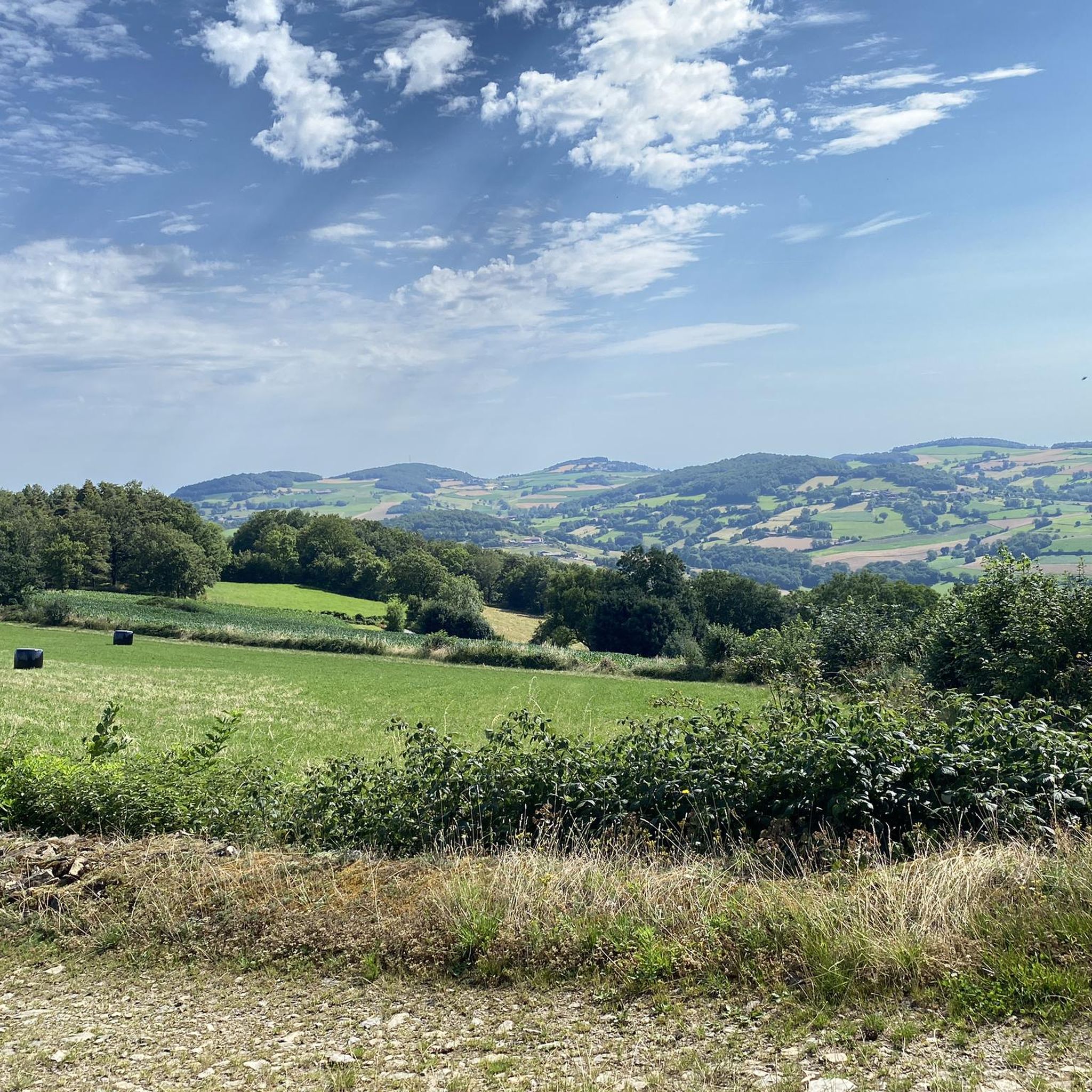
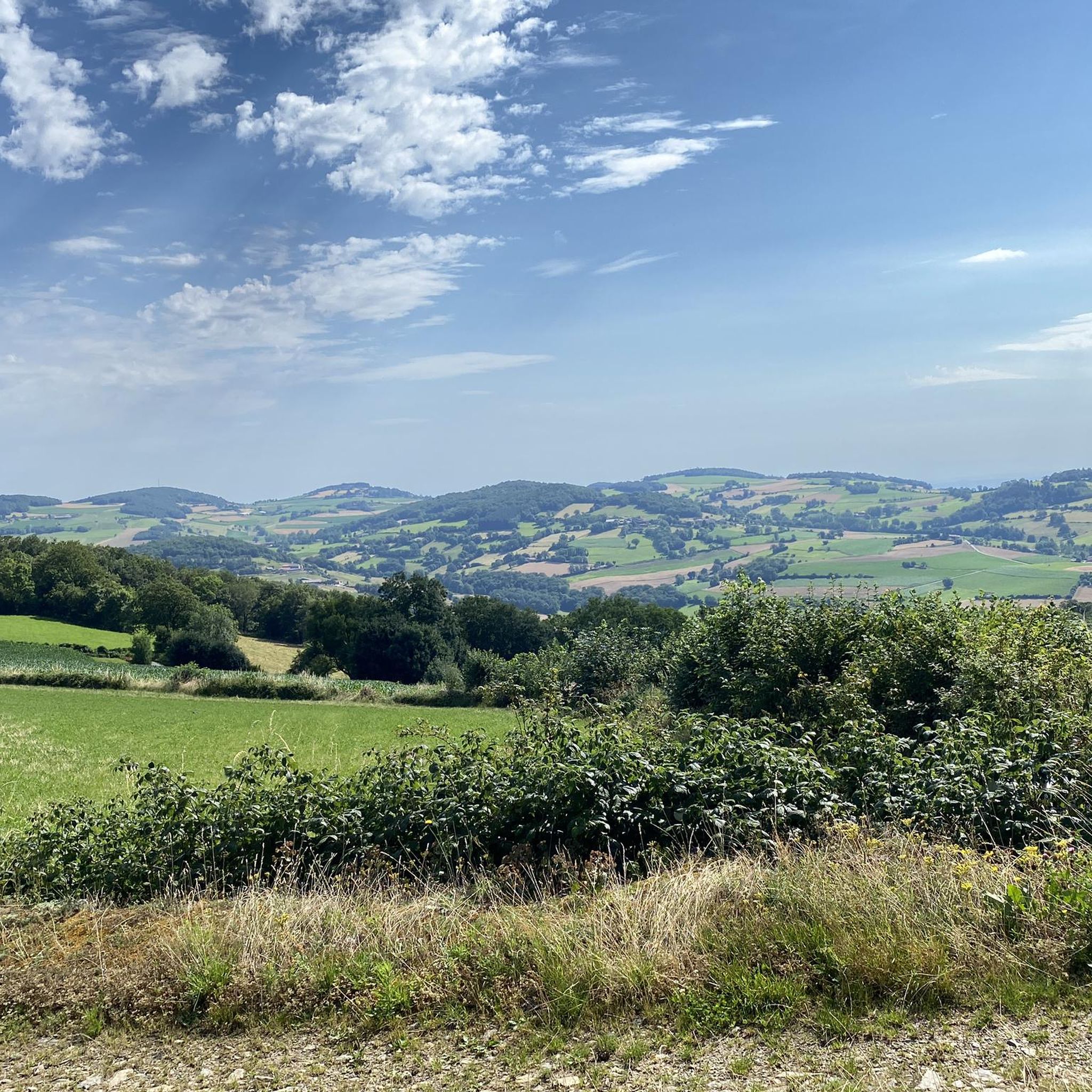
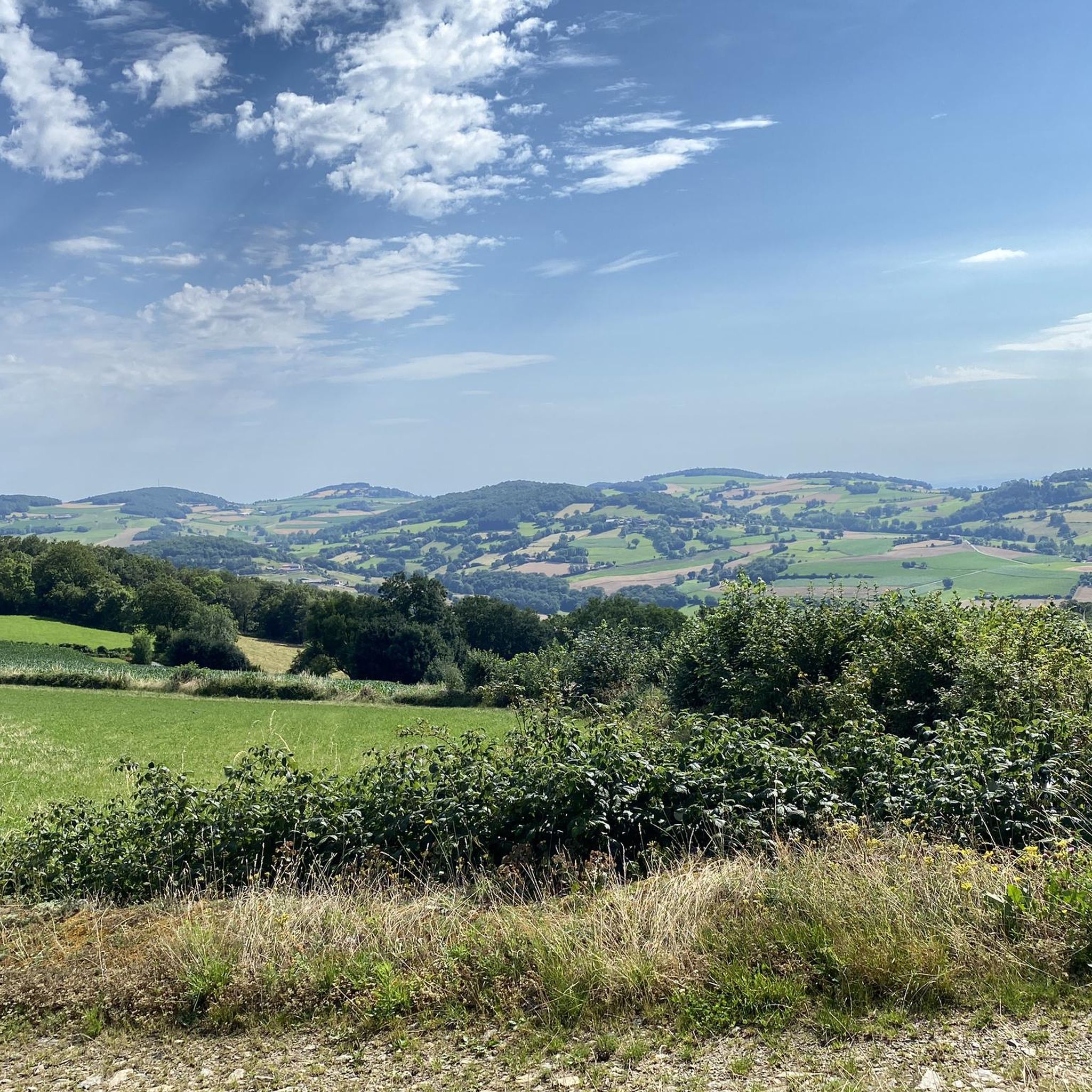
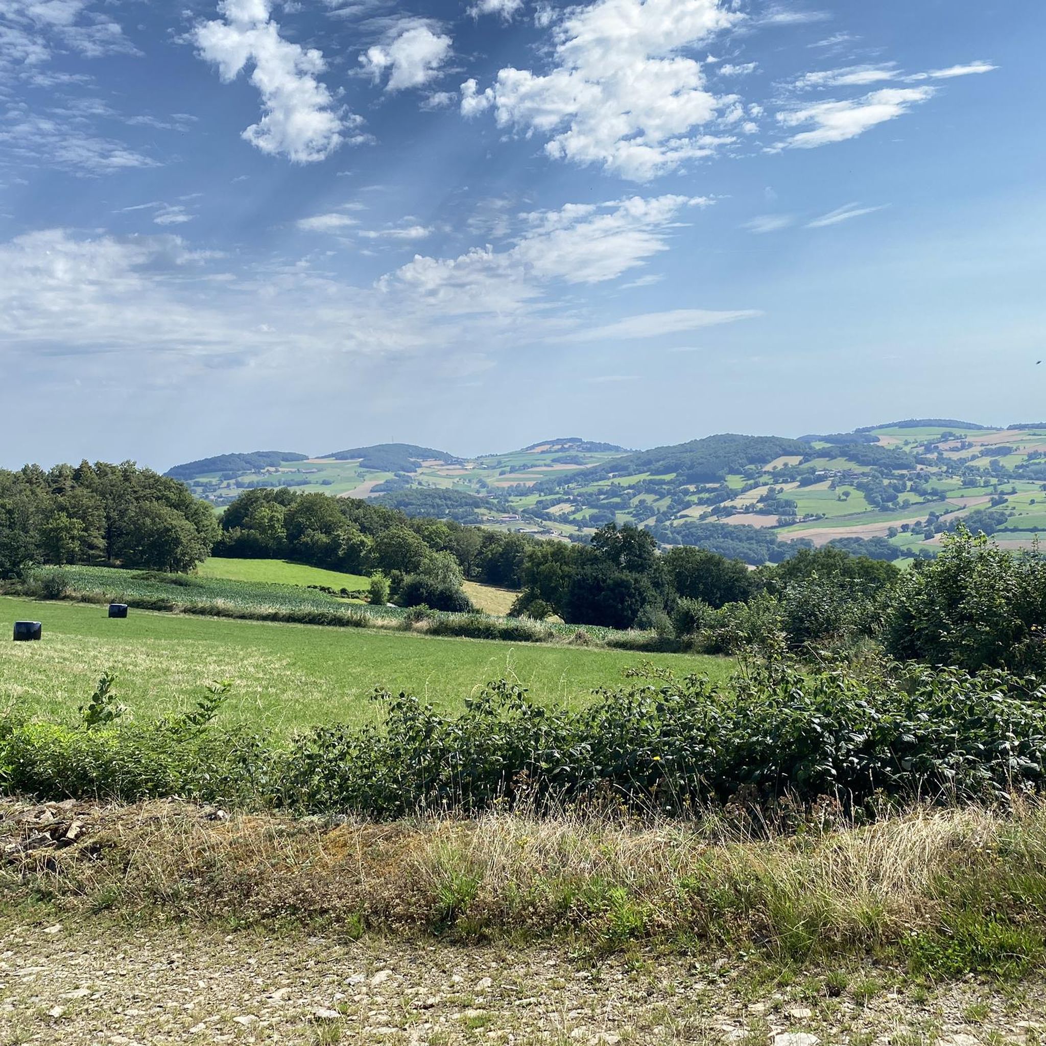
The 2 orientation tables at the Signal de St-André (at 934m) offer a panorama of the Rhône valley and the Metropolis of Lyon, and on clear days as far as the Alps.
0
0

Landscaped summit (accessible on foot) commemorating the locations of the geographer César-François Cassini de Thury between 1758 and 1761.
0
0

The highest point of the Monts du Lyonnais, the Signal du Saint-André site has been fitted out with a belvedere and an orientation table. The viewpoint offers a 180 degree panorama over the Rhone Valley and the Alps when the weather is clear.
1
1

The highest point of the MDL is the Crêt Malherbe with an altitude of 946m against 934m for the Signal de Saint-André
2
0
라라자세 주변에서 가장 인기 있는 명소


더 살펴보기
라라자세 주변의 최고의 동굴을 찾기 위해 이 가이드를 확인해보세요:
