알로스에서 가장 멋진 15개의 천연기념물
천연기념물을 방문하여 알로스의 아름다운 풍경을 만나보세요. 알로스에 있는 15
개의 천연기념물과 상세 정보를 살펴본 후에 방문하고 싶은 천연기념물을 다음 모험 계획에 추가해보세요!
마지막 업데이트: 8월 27, 2026


이런 장소를 발견하려면 지금 가입하세요
최고의 싱글 트랙, 봉우리 및 다양한 흥미로운 야외 장소에 대한 추천을 받아보세요.
무료 회원 가입
무티에르 고개
하이라이트 • 산악 고개
More information: quaeldich.de/paesse/col-de-la-moutiere and de.wikipedia.org/wiki/Col_de_la_Mouti%C3%A8re
번역자 Google •
팁에 의해

Col de la Bonette
하이라이트 • 산악 고개
팁에 의해

테트 드 라 세스트리에르
하이라이트 • 정상
번역자 Google •
팁에 의해

무료로 가입하여 알로스 주변의 더 많은 자연 기념물을 발견하세요.
무료 회원 가입
이미 komoot 계정이 있나요?
오늘 무료 계정으로 시작하세요
다음 모험이 기다리고 있어요.
로그인 또는 가입하기




커뮤니티 팁

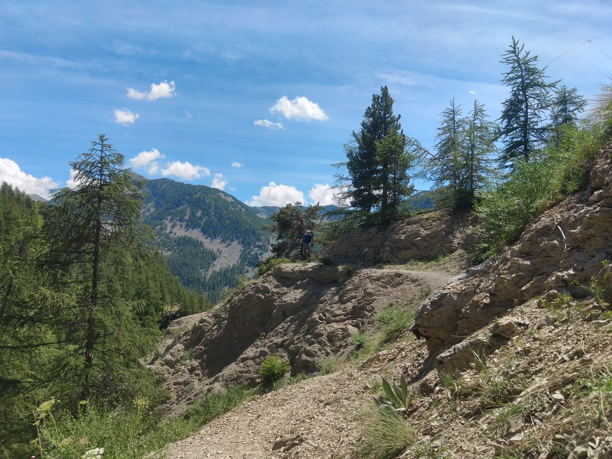
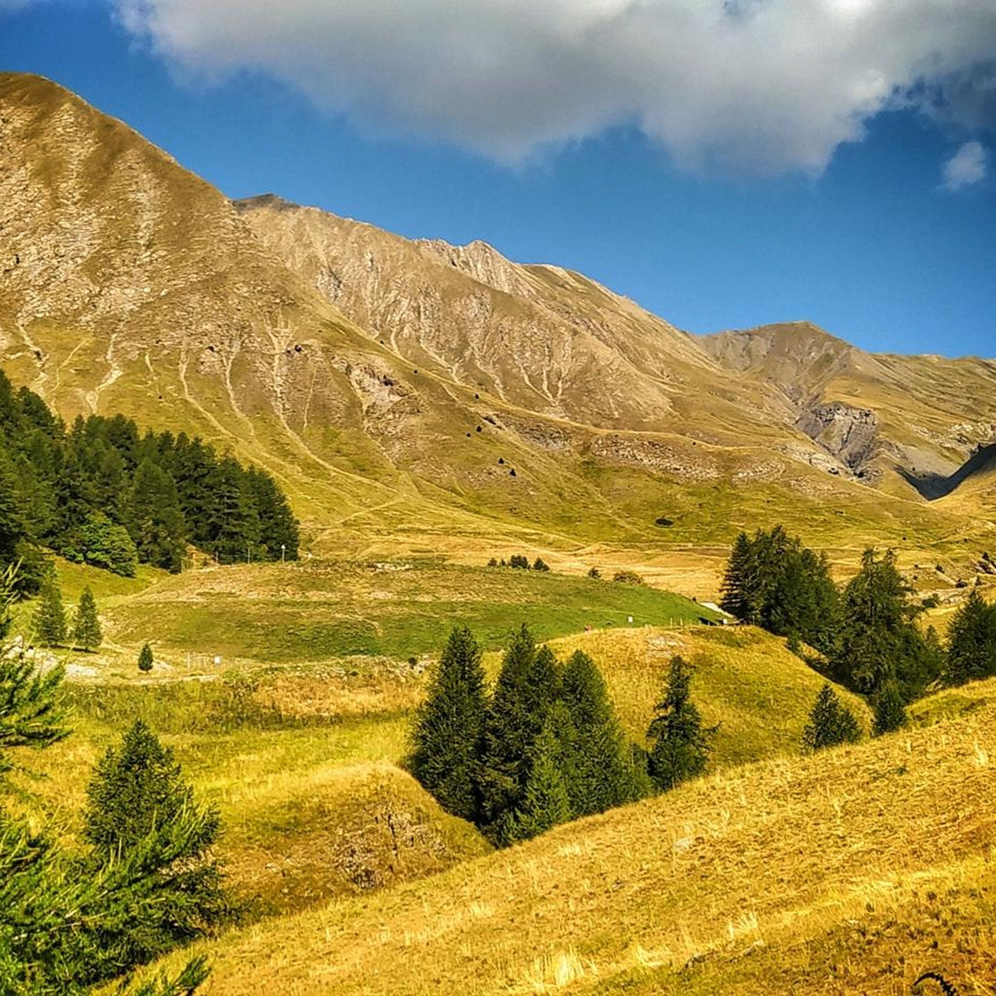
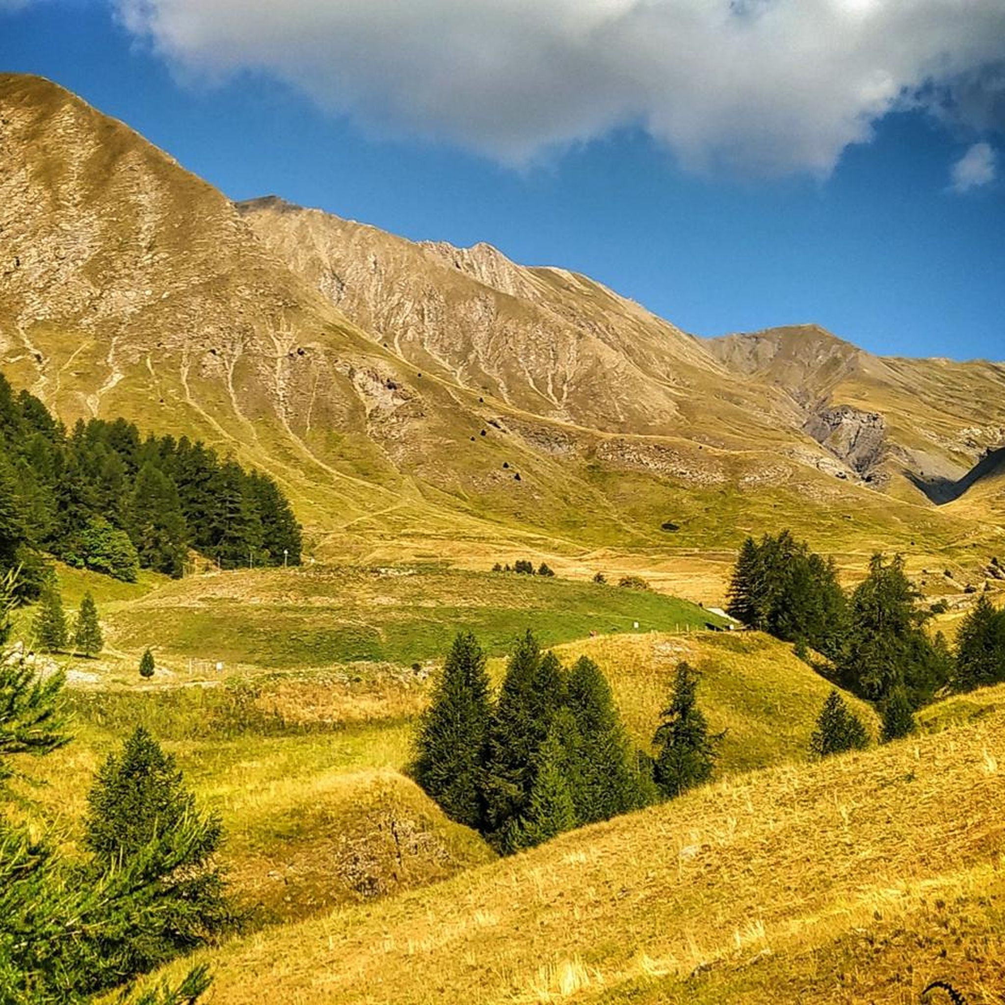
Saint Dalmas를 거쳐 Saint Etienne에서 Col de Moutière까지 올라갔고, 이후 Col de la Bonette까지 이어지는 3km의 자갈길을 이용했습니다. 더 고전적인 D64를 통해 Saint Etienne으로 돌아왔습니다. 이것은 훨씬 더 조용하고, 거칠고, 가파른 오르막길을 만들며, D64 하산길은 더 나은 (하지만 더 붐비는) 도로 표면과 더 점진적인 내리막길을 제공합니다. 또한 이 방법은 루프이며 놀라운 풍경을 더 많이 볼 수 있습니다. 3km의 자갈 구간은 제 산악 자전거로 매우 탈 만합니다 ('파랑' 등급으로 평가할 것입니다). 일부 구간이 작은 물웅덩이로 인해 파손되었음에도 불구하고 자전거를 들거나 밀 필요는 없었습니다. 한 지점에서 오토바이에 추월당했습니다. 이곳의 날씨, 특히 오후의 격렬한 뇌우에 주의하십시오. 근처에 대피할 곳이 없습니다.
0
0

If there were a ranking of the most beautiful, undiscovered Alpine passes in the cycling world, the Moutière would certainly be a contender. Starting from Saint-Dalmas-le-Selvage, the climb through the valleys of Sestrière and Sagnas is simply sublime.
1
0

Gorgeous pass with very little traffic and perfect asphalt.
18
0
A long climb but never too difficult, the views are stunning.
17
0
A very long climb with little traffic, the asphalt is in perfect condition and the gradients are never too steep.
15
0

The Col de la Moutière is located in Provence-Alpes-Cote d'Azur. This climb is part of the Alps. From Saint Etienne de Tinée, the Col de la Moutière is 18.3 km long. Over this distance 1300 altimeters are bridged. The average slope of the rise is, therefore, 7.1%. You can check the current traffic and winter situation on the Col de la Moutière in Provence-Alpes-Cote d'Azur on Bison futé.
1
0

알로스 주변에서 가장 인기 있는 명소


더 살펴보기
알로스 주변의 최고의 동굴을 찾기 위해 이 가이드를 확인해보세요:
