경로

플래너

기능

업데이트

App

로그인 또는 가입

앱 다운로드

로그인 또는 가입

경로
Places to see
Natural Monuments
프랑스
오베르뉴 론 알프스
생장 드 모리엔

본네발 쉬르 아크

본네발 쉬르 아크‬에서 가장 멋진 ‪20‬개의 천연기념물


천연기념물을 방문하여 본네발 쉬르 아크의 아름다운 풍경을 만나보세요. 본네발 쉬르 아크에 있는 20
개의 천연기념물과 상세 정보를 살펴본 후에 방문하고 싶은 천연기념물을 다음 모험 계획에 추가해보세요!

마지막 업데이트: 8월 26, 2026

이제란 고개

하이라이트 • 산악 고개

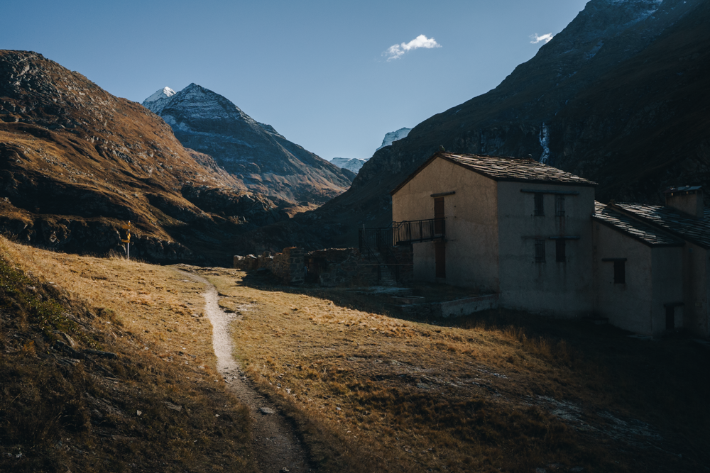
Located at 2770 meters above sea level, the Col d'Iseran is the highest European asphalt pass. There are magnificent views of Val-d'Isère and the Maurienne. Egan Bernal won his Tour de France 2019 with tremendous action at this summit.

번역자 Google •

에 의해

라이딩 보기

휴대폰으로 전송

저장

세루 호수

하이라이트 • 호수

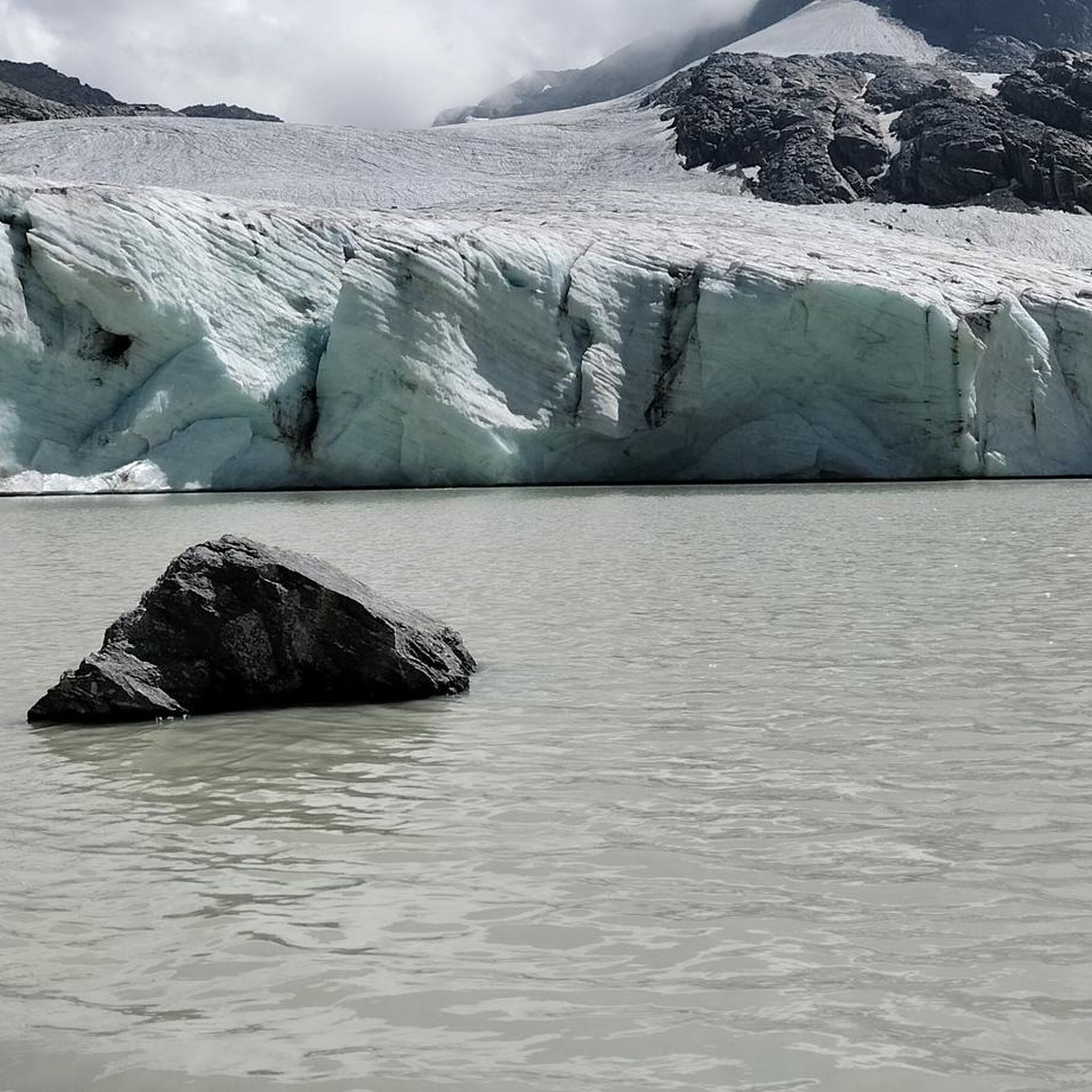
It is located along the road that from Ceresole Reale climbs to the Nivolet hill. It is part of the complex of artificial lakes (Lake Agnel, Lake Serrù, Lake Ceresole, …

번역자 Google •

에 의해

저장

이런 장소를 발견하려면 지금 가입하세요

최고의 싱글 트랙, 봉우리 및 다양한 흥미로운 야외 장소에 대한 추천을 받아보세요.

무료 회원 가입

아녤 호수

하이라이트 • 호수

Leaving on the left the signs for the glaciological path of the Serrù lake, and on the right the Glaciomuseo, proceed quickly until you reach the equally magnificent Agnel lake.

번역자 Google •

에 의해

저장

콜레 델 니볼레

하이라이트 • 산악 고개

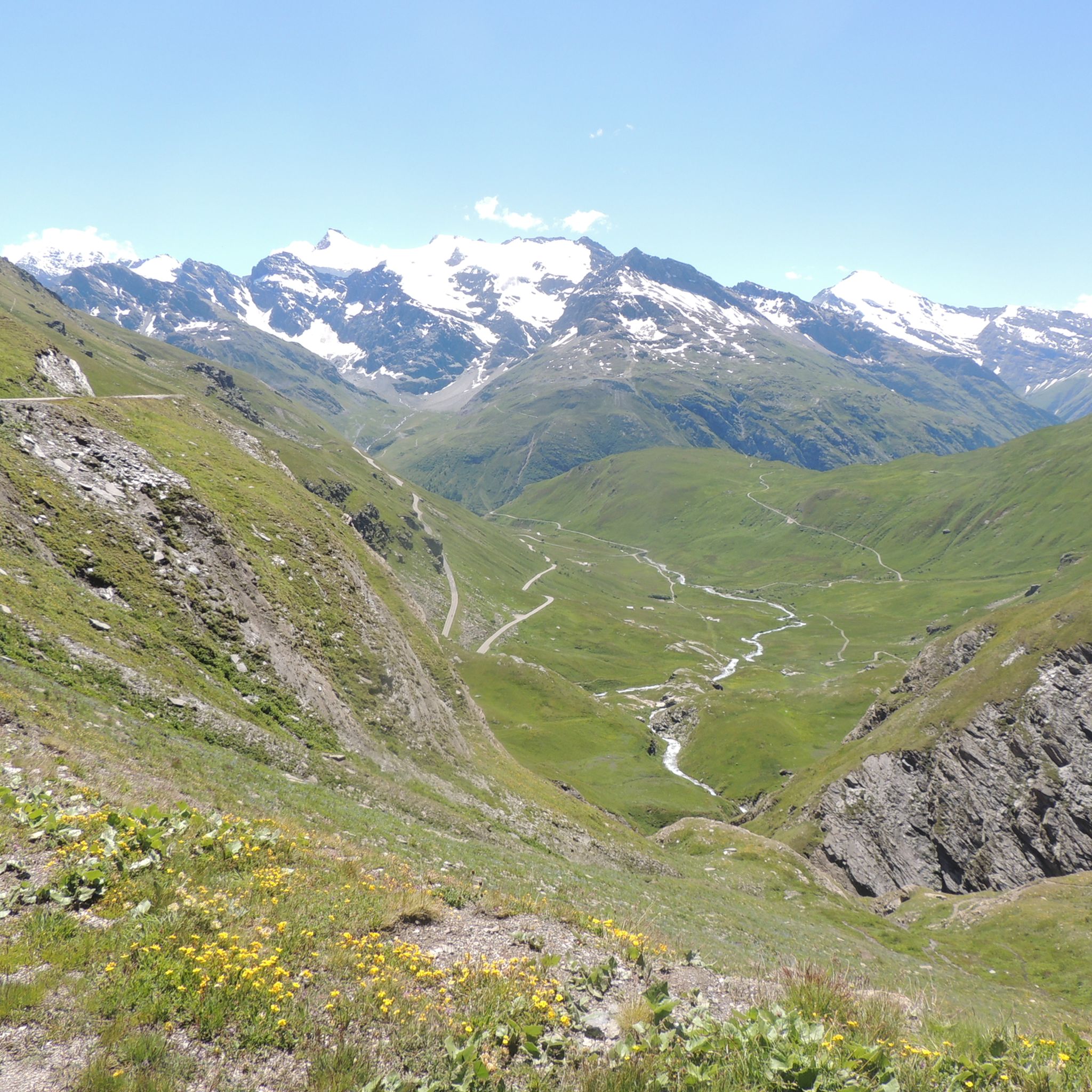
Leave performance anxiety aside and take a few stops to enjoy the surrounding panorama: the Colle del Nivolet is one of the most panoramic climbs in the Alps. The final hairpin bends overlooking the lakes are truly special.

번역자 Google •

에 의해

저장

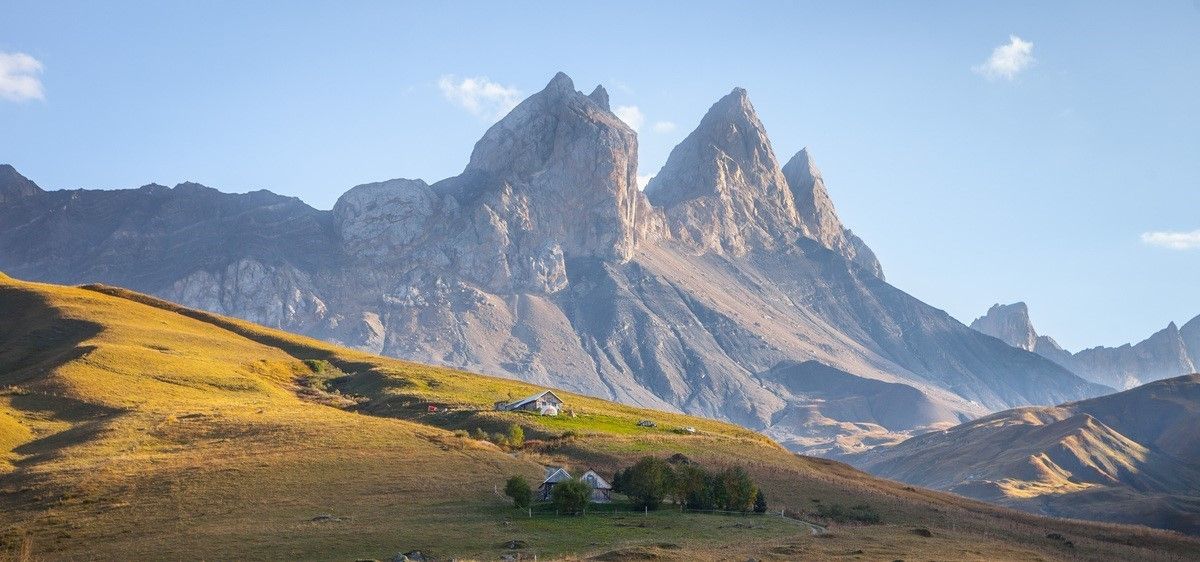
At 3,747 meters above sea level, La Grande Sassière offers a 360° panorama of the French, Italian and Swiss Northern Alps.

번역자 Google •

에 의해

저장

무료로 가입하여 본네발 쉬르 아크 주변의 더 많은 자연 기념물을 발견하세요.

무료 회원 가입

이미 komoot 계정이 있나요?

오늘 무료 계정으로 시작하세요

다음 모험이 기다리고 있어요.

로그인 또는 가입하기
본네발 쉬르 아크 주변 인기 장소

브리앙손에서 랑드리로 하이킹 - 유럽 트레일 (GR 5)

해몽 지구 자전거 타기 — 오후 모르엘느 지구

France’s breathtaking Alpine world — road bike routes around Maurienne

Legendary passes of the Tour de France

본네발 쉬르 아크 하이킹

본네발 쉬르 아크 로드 사이클링 경로

본네발 쉬르 아크 러닝 트레일

본네발 쉬르 아크 사이클링

본네발 쉬르 아크 MTB 트레일

본네발 쉬르 아크 등산

본네발 쉬르 아크 주변의 다른 모험

브리앙손에서 랑드리로 하이킹 - 유럽 트레일 (GR 5)

하이킹 컬렉션 에 의해

SimonWicart

커뮤니티 팁

ZioGhilli
6월 6, 2025, Lago Agnel

The road that draws an "S" on the dam is very scenic. All that remains is to tackle the last hairpin bends to the top and then enjoy the most beautiful view of the Alps and perhaps the world...

번역: Google

0

0

Our plan was to climb the summit with our bikes on our shoulders. As there was still a lot of snow and some light climbing was required, we parked our bikes along the way. I recommend the Aiguille de la Grande Sassière for hikers but not for bikers, as the descent is partly doable but not worthwhile.

번역: Google

3

0

From Les Brevieres, this mountain is a real challenge to your fitness, as you have to overcome over 2200 meters of altitude. You will be rewarded up there with a magnificent view of the great 4000-meter peaks in the Alps. My tip for this tour is to take crampons in your backpack; they were really needed on the last 200 meters as there was a lot of snow, which is possible at this altitude at any time of year.

번역: Google

2

0

The climb of Colle del Nivolet is among the most exciting and fascinating of the Piedmont Alps, I always recommend Alba and Tramonti when the light transforms the landscape into pure magic!

번역: Google

0

0

At an altitude of 2625 metres, Colle del Nivolet marks the border between Piedmont and Valle d'Aosta. Going up from Ceresole Reale the road is entirely asphalted and therefore quite busy. Spectacular views 🤩🏔️

번역: Google

2

0

Lake Agnel is part of a wonderful alpine environment, possibly the most beautiful and spectacular thing I have seen in the Alps. As soon as you leave behind Lake Serrú, an artificial dam, you reach this natural lake after a short descent. Leaving it behind in the direction of the Colle del Nivolet, the views from above are great. Beauty cannot be seen in photos nor described in words... you have to feel it arriving there by bicycle.

번역: Google

0

0

Going up towards Nivolet, you can stop at a highly panoramic point where you can photograph the lakes.

번역: Google

1

0

Artificial lake along the climb to Nivolet

번역: Google

1

0

본네발 쉬르 아크 주변에서 가장 인기 있는 경로

본네발 쉬르 아크 하이킹

본네발 쉬르 아크 주변에서 가장 인기 있는 명소

Places to see

Store rating

komoot 모바일 앱으로 영감을 받아보세요

무료 komoot 계정로 끝없는 야외 모험을 손쉽게 찾고, 맞춤 설정하며 길안내할 수 있어요.

또는

지금 komoot에 가입하세요

Store rating

더 살펴보기

본네발 쉬르 아크 주변의 최고의 동굴을 찾기 위해 이 가이드를 확인해보세요:

테르미뇽브라만스발루아르오수아모단Lanslebourg-Mont-Cenis솔리에르 사르디에르바누아즈Parc National de la Vanoise(쾨르)베산스아브리외Saint-Jean-D'Arves발마이니어오렐빌라로딘-부르제LanslevillardSaint-Sorlin-D'Arves푸르노생 앙드레Saint-Colomban-Des-Villards아이톤프레니알비에즈-몬트론몽길베르트본빌라레생 미셸 드 모리엔Saint-Martin-D'Arc몬트리셰 알반아르헨티나몬사페이에피에르헤르밀론빌라렘베르트Fontcouverte-La-ToussuireSaint-Alban-Des-Villards란덴스폰타마프리-몽파스칼르 샤텔

근처 어드벤처 가이드

세루 호수 즐길거리

background

새로운 정복을 위한 준비를 하세요

무료로 가입하기

탐험하기
경로경로 플래너기능바우처 사용하이킹MTB 트레일로드 사이클링 경로바이크패킹사이트맵
앱 다운로드
소셜 미디어에서 팔로우하기

© komoot GmbH

개인 정보 보호 정책