그로노에서 가장 멋진 13개의 산길
그로노에서 가장 멋진 산길을 아래에서 살펴보세요. 풍경을 감상하기에도 좋고, 오르막길/내리막길을 따라 걷기에도 좋은 곳이랍니다. 커뮤니티가 특별 도움을 통해 공유한 콘텐츠인 만큼 믿을 수 있는 정보이니 마음에 드는 산길이 있다면 바로 다음 모험 계획에 추가해서 바로 방문해보세요.
마지막 업데이트: 10월 13, 2026
Rifugio Giovo
하이라이트 • 산장
Here you can leave …
번역자 Google •
팁에 의해

벨린초나에서 산베르나르디노 고개
하이라이트 (구간) • 산악 고개
팁에 의해

이런 장소를 발견하려면 지금 가입하세요
최고의 싱글 트랙, 봉우리 및 다양한 흥미로운 야외 장소에 대한 추천을 받아보세요.
Passo San Jorio에서 Garzeno까지 하산
하이라이트 • 트레일
We pass through Brenzeglio and Quansc and …
번역자 Google •
팁에 의해

파르쿠르 1 #TCRNo9 // 파소 델로 스플루가
하이라이트 (구간) • 산악 고개
팁에 의해

Passo del Segnale di Vazzola
하이라이트 • 산악 고개
번역문 보기
팁에 의해

무료로 가입하여 그로노 주변의 더 많은 산악 고개를 발견하세요.
이미 komoot 계정이 있나요?
오늘 무료 계정으로 시작하세요
다음 모험이 기다리고 있어요.



커뮤니티 팁

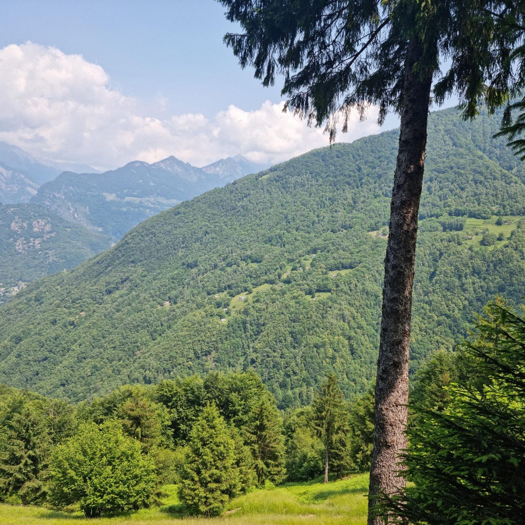
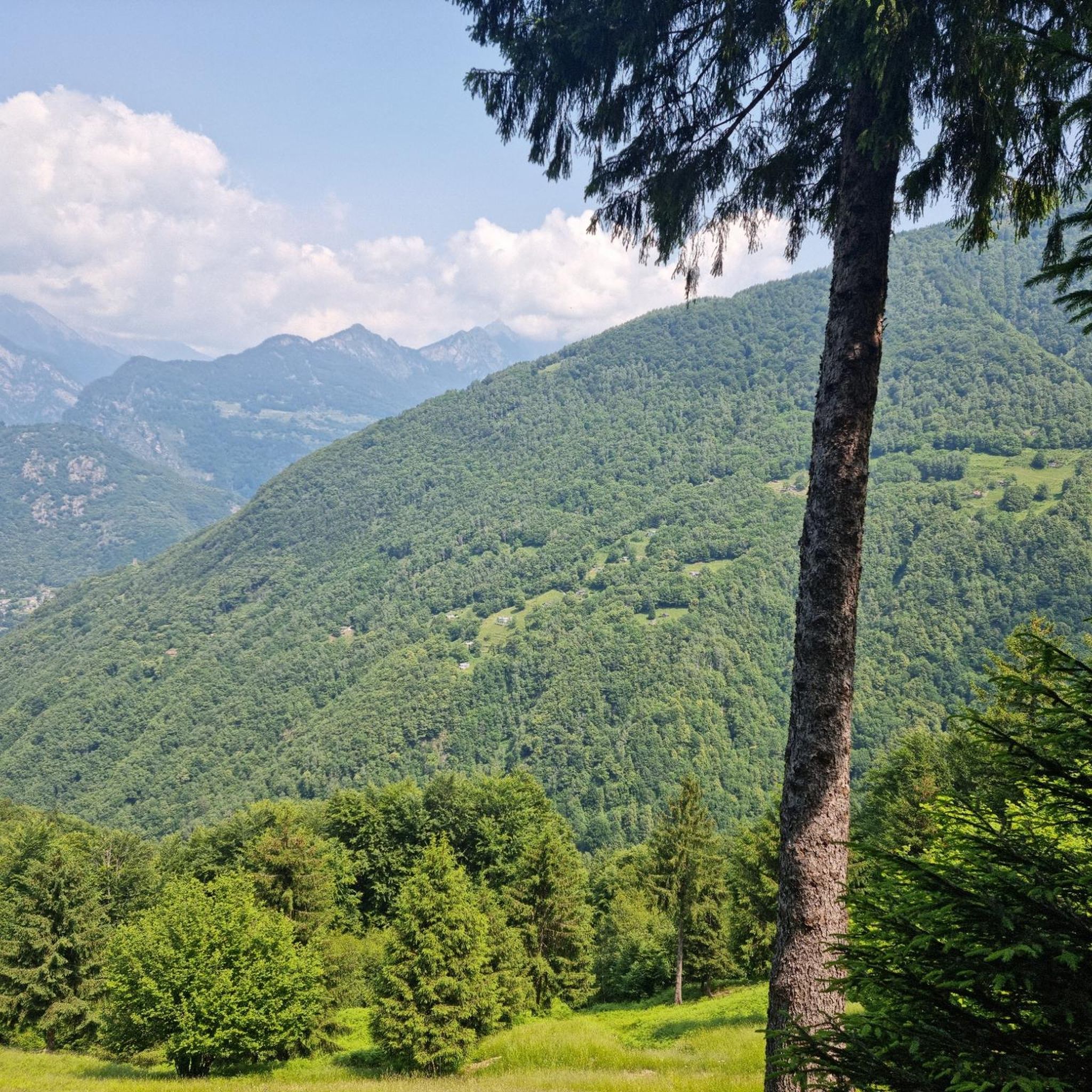
세냐레 고개는 약 2,100미터에 위치하며, X자 모양의 십자가가 있는 눈에 띄는 나무 기둥 덕분에 멀리서도 잘 알아볼 수 있습니다. 이 고개는 발 카마와 발 레지아를 연결하며 두 계곡 사이의 중요한 통로 역할을 합니다. 양방향으로 아름다운 전망을 감상할 수 있습니다.
0
0

The Passo del Segnale di Vazzola (2108 m) allows you to pass from the Val di Cama to the Val di Leggia and vice versa.
0
0

Long climb up the pass, but really beautiful and very pleasant to ride
0
1

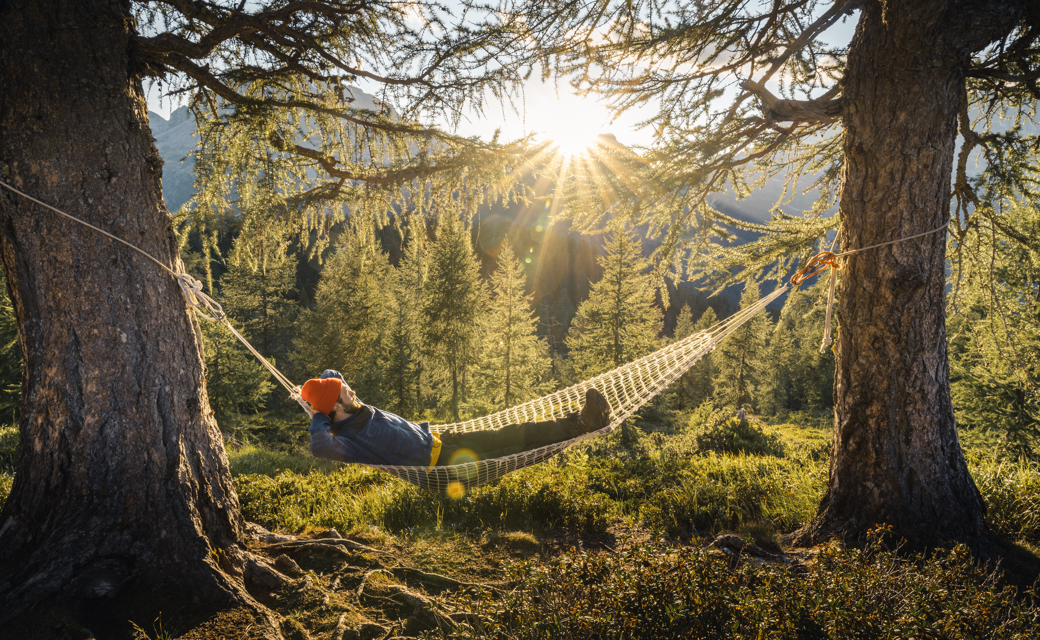
The Giovo Refuge is closed and unattended, in order to stay there you must ask for the keys in advance at the Sant'Anna restaurant in Germasino. Here you can leave the car to go up to Passo San Jorio or to continue on other paths. The road that gets here is not the best, as a large part of it is dirt, but with the right attention it is not a big problem.
0
0

Very nice pass, drive and enjoy
0
1

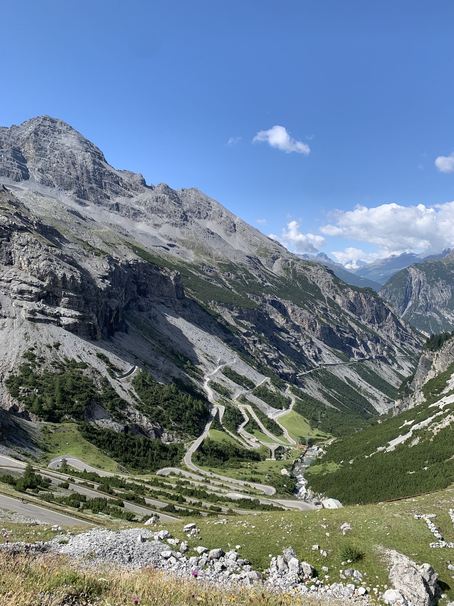
Heading south to the Alps for the first Control Point of the Race, TCRNo9 riders face a parcours that follows in the millenia-old tracks of pass-storming armies and traders — zig-zagging across the Swiss and Italian borders, over the high cols and through the steeply-gorged valleys of the now famous San Bernardino and Splugen Passes, before plunging to Chiavenna at the foot of the Maloja Pass. 2023 marks the 200-year anniversary of the modern road over the Passo dello Spluga. Here riders will free route from the end of the parcours to Control Point 1 in Livigno. Perched high in the Italian Alps, the location will force racers to remain in the mountains en route to Control Point 2. Livigno’s name stems from the old German word for ‘avalanche’ — a reminder to riders not to underestimate conditions here, something they will do at their peril as they traverse some of the highest paved roads in the region before being deposited at the foot of the mighty Stelvio National Park.
0
0


Passo del Segnale di Vazzola (2108 m, with no name on the CNS map) clearly visible from a distance thanks to the characteristic post with the Andrea cross (X-shaped). It allows you to cross from the Cama valley to the Leggia valley and vice versa
1
0
그로노 주변에서 가장 인기 있는 명소


더 살펴보기
이 가이드를 통해 더 많은 장대한 산악 통과를 확인해보세요 그로노 주변:
