테인트룩스에서 가장 멋진 11개의 천연기념물
천연기념물을 방문하여 테인트룩스의 아름다운 풍경을 만나보세요. 테인트룩스에 있는 11
개의 천연기념물과 상세 정보를 살펴본 후에 방문하고 싶은 천연기념물을 다음 모험 계획에 추가해보세요!
마지막 업데이트: 10월 5, 2026
라 뷔르의 켈트 캠프
하이라이트 • 역사적 장소
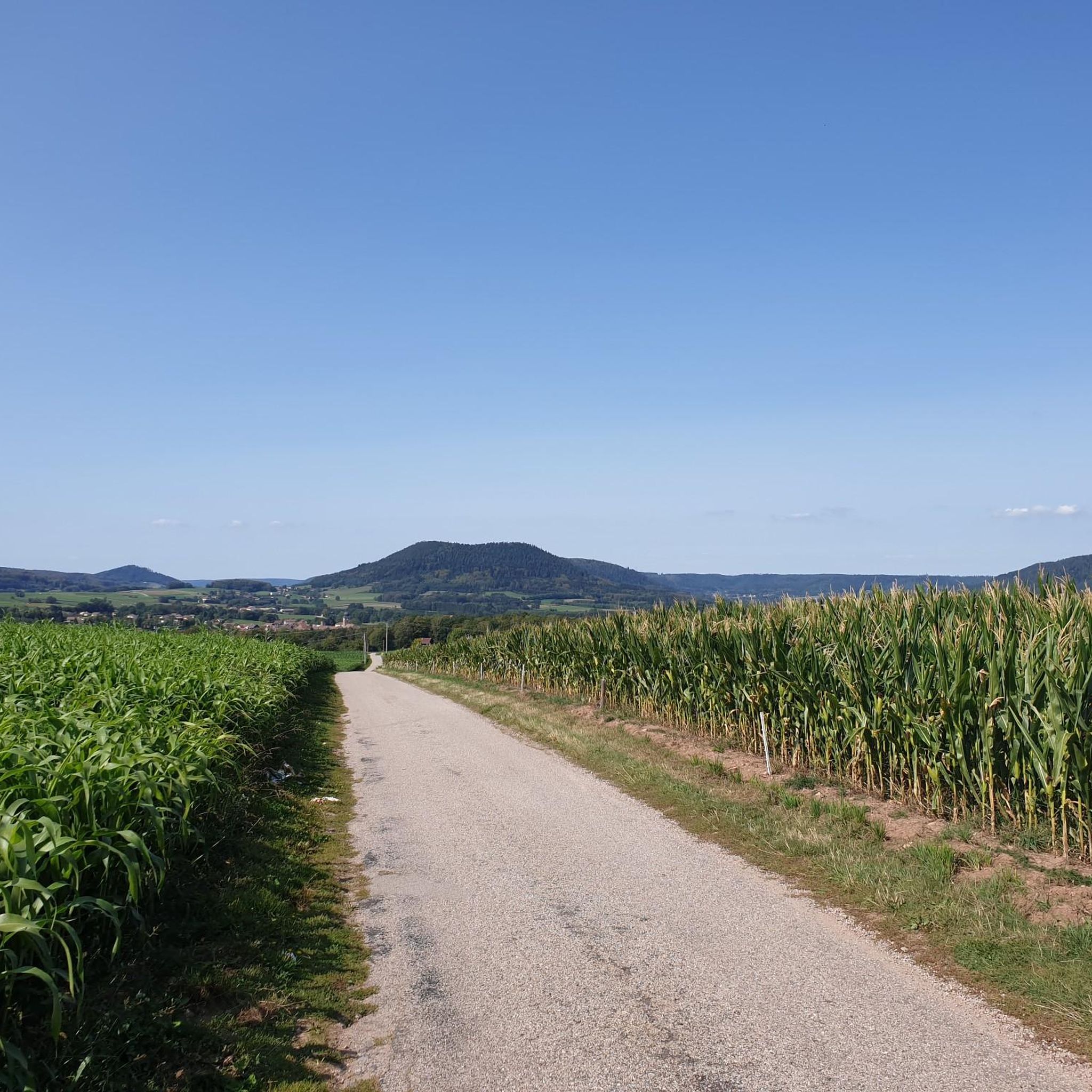
The Celtic camp of the Bure is a fortified plateau bordering the Haute-Meurthe valley in the Grand-East of France. The plateau, now wooded, lies between the communes of Saint-Dié-des-Vosges and …
번역자 Google •
팁에 의해

Roche d'Anozel
하이라이트 • 전망대
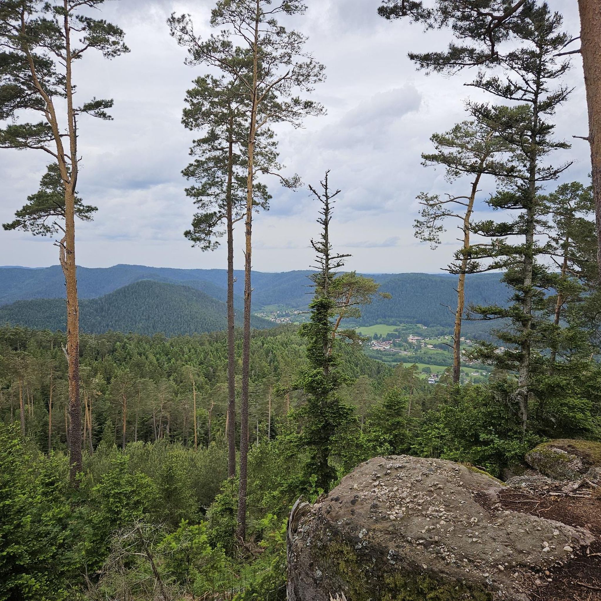
Large steep rock with south-facing viewing platform.
번역자 Google •
팁에 의해

이런 장소를 발견하려면 지금 가입하세요
최고의 싱글 트랙, 봉우리 및 다양한 흥미로운 야외 장소에 대한 추천을 받아보세요.

라 로슈 생마르탱과 생디에 전망
하이라이트 • 전망대
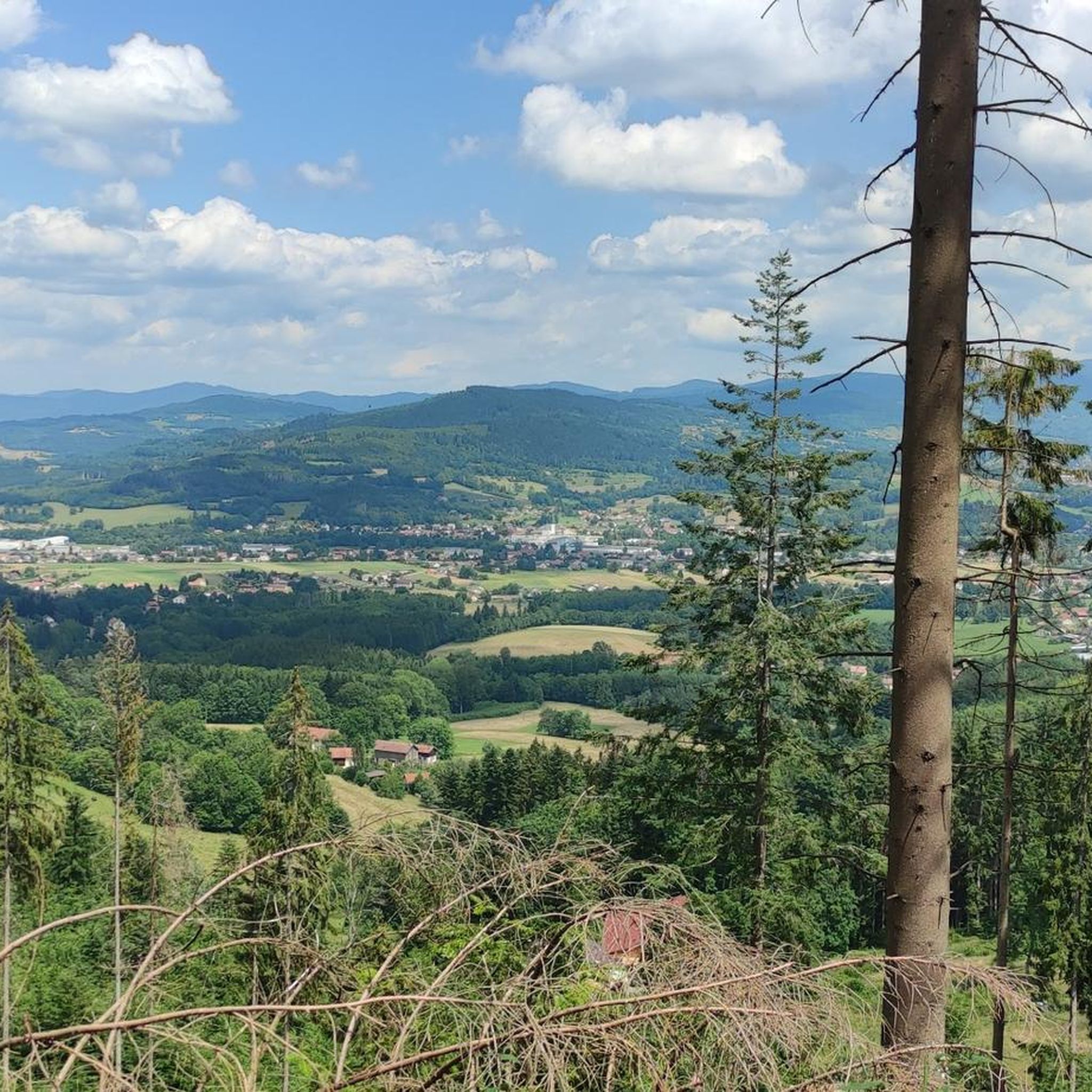
La Roche Saint-Martin sits prominently above Saint-Die and consists of several imposing sandstone columns, two of which are connected by a bridge. There are several benches to enjoy the truly fantastic view.
번역자 Google •
팁에 의해
로슈 드 보슬림프레
하이라이트 • 전망대
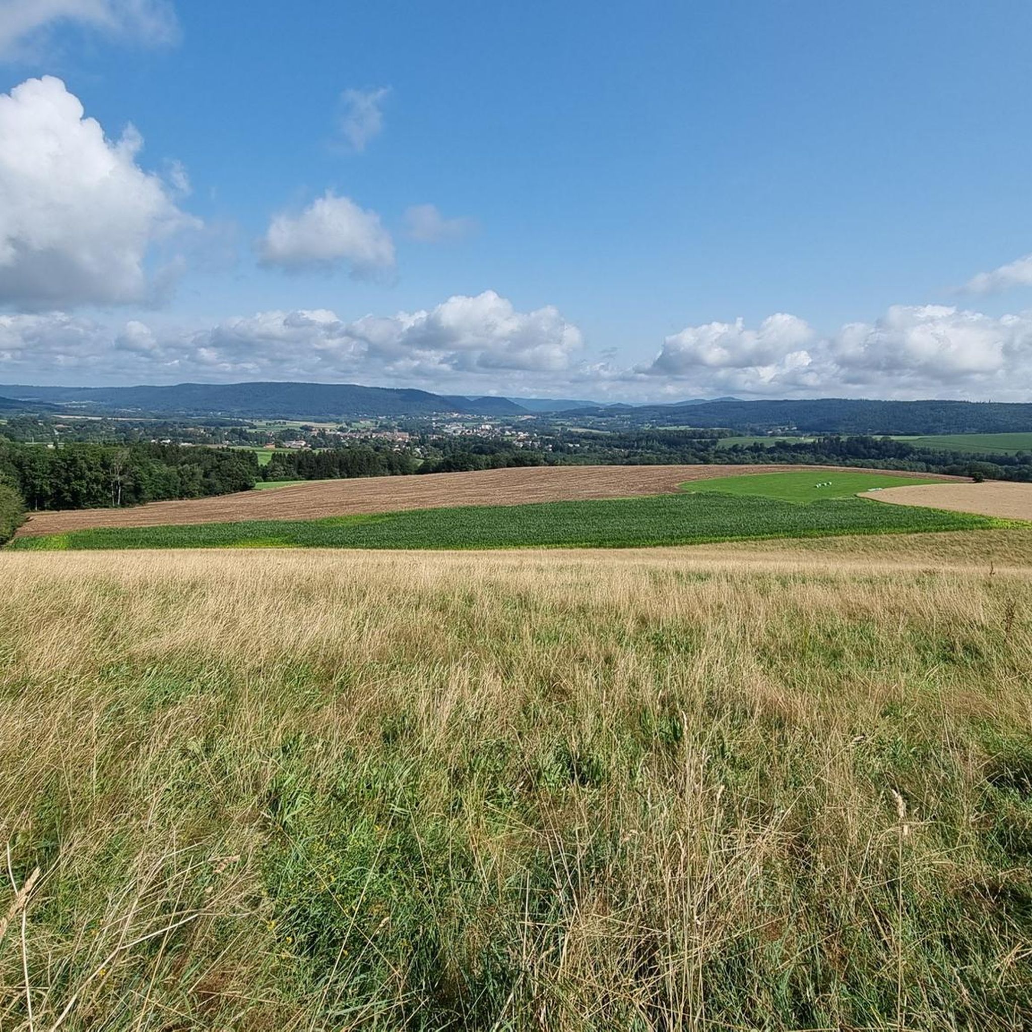
Steep but worth the effort
번역자 Google •
팁에 의해

무료로 가입하여 테인트룩스 주변의 더 많은 자연 기념물을 발견하세요.
무료 회원 가입
이미 komoot 계정이 있나요?
오늘 무료 계정으로 시작하세요
다음 모험이 기다리고 있어요.
커뮤니티 팁


Anthony Valerio (Monsieur Banane)
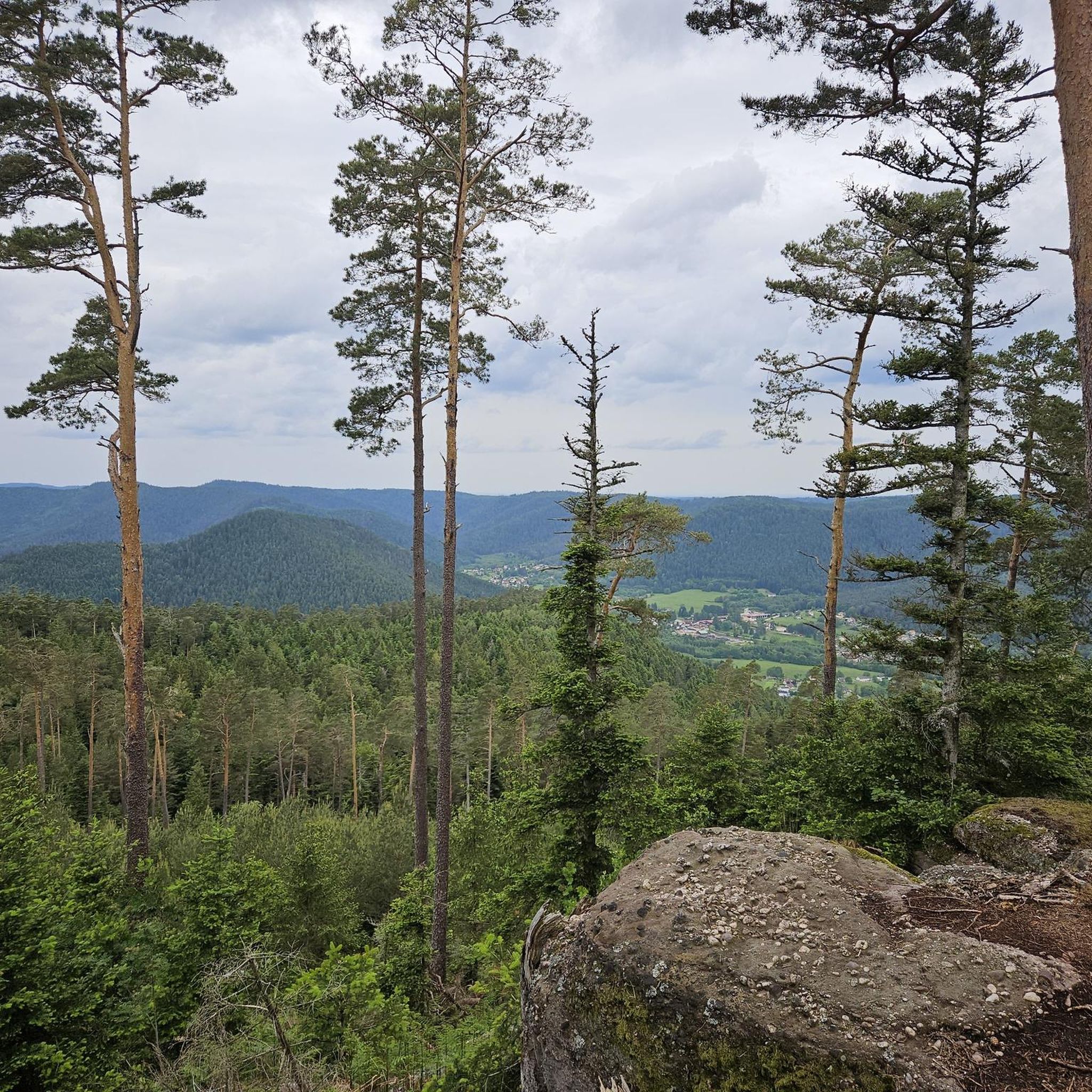
8월 19, 2026, Roche de Boslimpré
주변 경치가 매우 좋습니다. 조용하고 깨끗한 곳이니 잘 보존해야 합니다.
번역: Google•
0
0

Targi
8월 17, 2026, Roche d'Anozel
Roche d’Anozel은 Saint-Dié-des-Vosges에서 멀지 않은 Saulcy-sur-Meurthe 근처 Kemberg 산맥에 위치해 있습니다. 눈에 띄는 보주 사암 바위는 해발 약 740m에 위치하며 높이는 약 15m, 너비는 약 20m입니다. 바위에 새겨진 수수께끼 같은 비문은 1402년으로 거슬러 올라갑니다. 특히 뫼르트 계곡과 주변 보주 산맥의 전망이 흥미롭습니다. Roche는 잘 표시된 하이킹 코스 네트워크의 일부입니다.
번역: Google•
0
0


테인트룩스 주변에서 가장 인기 있는 명소


더 살펴보기
테인트룩스 주변의 최고의 동굴을 찾기 위해 이 가이드를 확인해보세요:
게르트제Xonrupt-LongemerBan-Sur-Murthe-Clefcy르 발탱고소하다리에제그랑주-오몽제게르베팔La Croix-Aux-Mines프레이즈아랑테스 드 코르시외바비세로반드라벨린아놀드맨드레이코르시외반드삽라 샤펠 데방 브뤼에르뤼세리하우팔모옌무티에루빈동전앙트르-듀-오라부아브르허바체드니파르생장도르몽샹드레이세노네스벡사인코트무시라온 쉬르 플레인생스테일라 쁘띠-라온비유물랭르 버몬트그랜드럽트루비니르 솔시르 푸이드명명하다벨발콤브리몬트레이브스라온레타프비스바흐셀레 쉬르 플레인생 미셸 쉬르 메르트알라몬트르 몽메닐 드 세논프라펠리모믹스라 쁘띠-포스에티발-클레어퐁텐게마인구트생 레오나르도베르트리무티에솔시 쉬르 메르트페어-엣-그랜드럽트누빌러 쉬르 파브샤타스레서라 후시에르라 부르공스나예몽레포스생트 마거리트모르타뉴르 뷰레프로방셰르 에 콜로이자연 보호 구역 뒤 타네-가종-뒤-파잉라 그란데포스비폰테인레 루즈오라살생레미주사루트비엔빌부아드샹헤르펠몬트
