경로

플래너

기능

업데이트

App

로그인 또는 가입

앱 다운로드

로그인 또는 가입

로그인 또는 가입

경로
Places to see
Natural Monuments
프랑스
그레이트 이스트
장크트 디델

그랜드럽트

그랜드럽트‬에서 가장 멋진 ‪10‬개의 천연기념물


천연기념물을 방문하여 그랜드럽트의 아름다운 풍경을 만나보세요. 그랜드럽트에 있는 10
개의 천연기념물과 상세 정보를 살펴본 후에 방문하고 싶은 천연기념물을 다음 모험 계획에 추가해보세요!

마지막 업데이트: 5월 21, 2026

라 뷔르의 켈트 캠프

하이라이트 • 역사적 장소

The Celtic camp of the Bure is a fortified plateau bordering the Haute-Meurthe valley in the Grand-East of France. The plateau, now wooded, lies between the communes of Saint-Dié-des-Vosges and …

번역자 Google •

에 의해

하이킹 보기

휴대폰으로 전송

저장

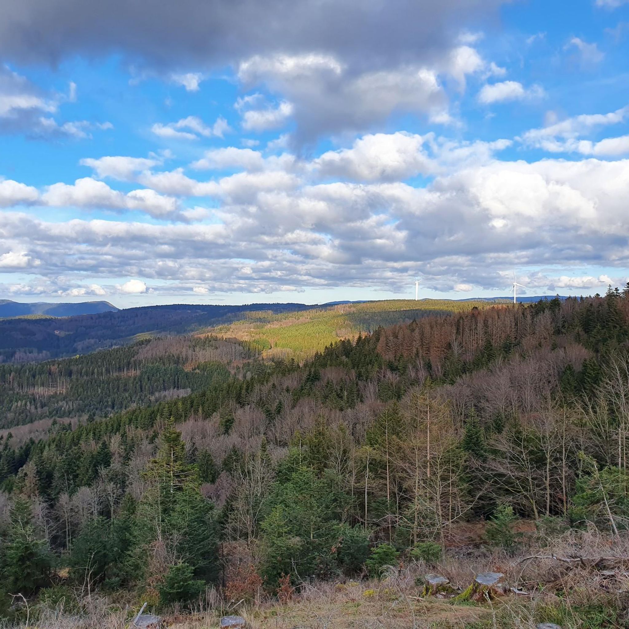
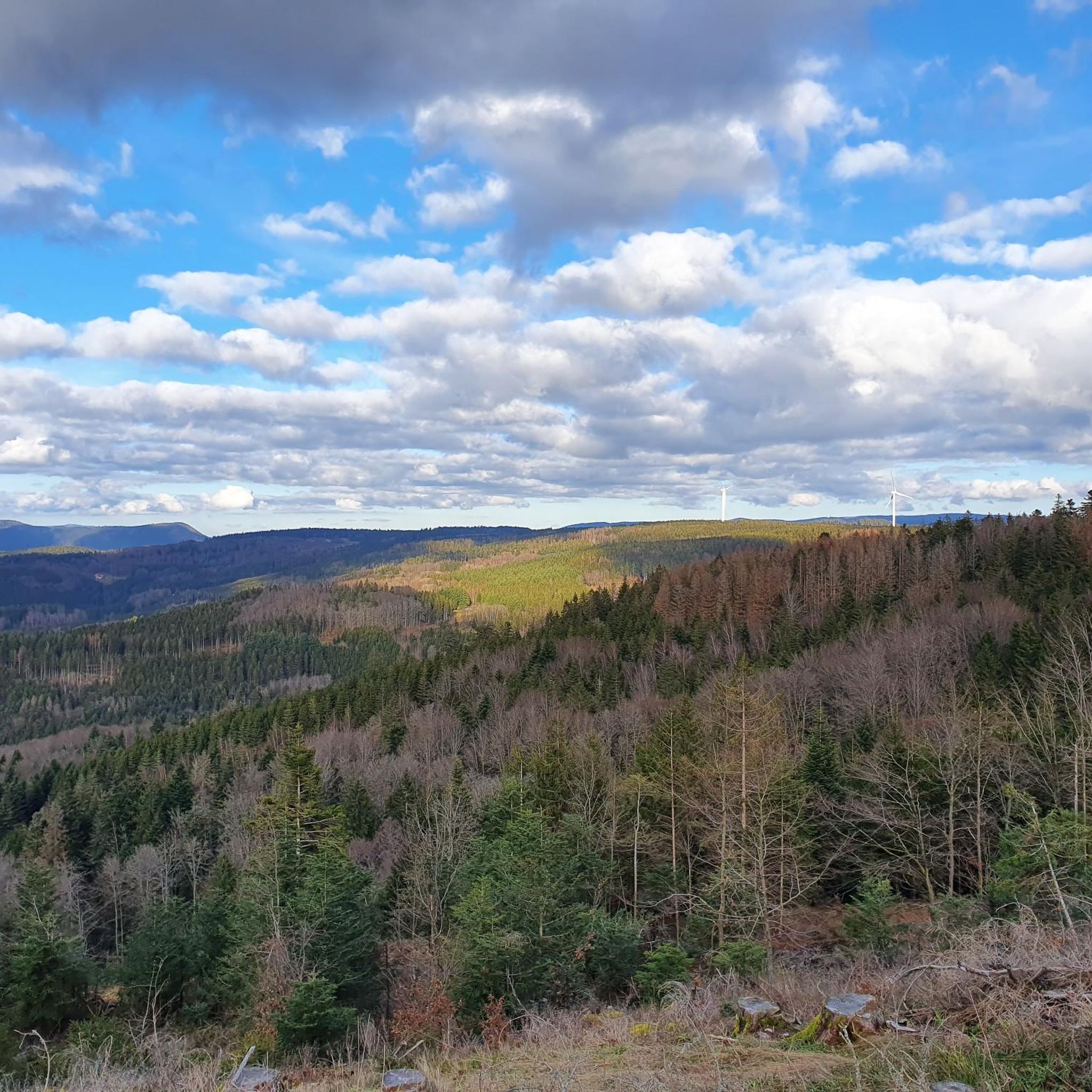
마른 전나무 바위

하이라이트 • 전망대

Very good but hard...

번역자 Google •

에 의해

저장

이런 장소를 발견하려면 지금 가입하세요

최고의 싱글 트랙, 봉우리 및 다양한 흥미로운 야외 장소에 대한 추천을 받아보세요.

무료 회원 가입

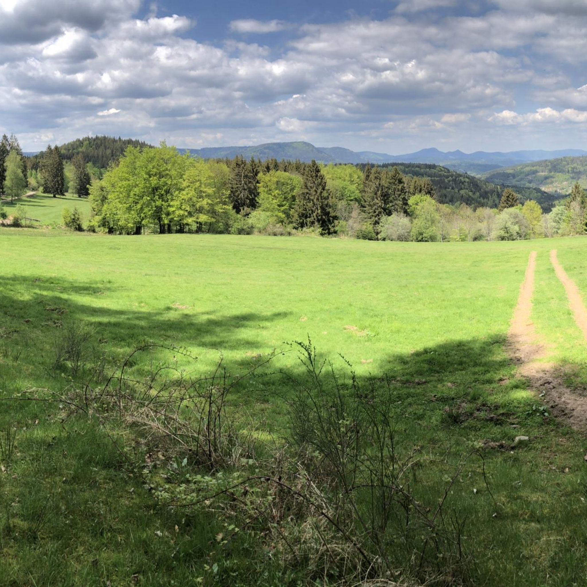
Roche des Abris

하이라이트 • 자연 기념물

Great view from a historic rock.

번역자 Google •

에 의해

저장

Delimitation of the protected natural area (protection of young seedlings, allow renewal) and protection of the heather rooster or capercaillie.

번역자 Google •

에 의해

저장

Roches de Lanceux

하이라이트 • 자연 기념물

Great rock formation, observation posts in World War I, simple shelter, picnic area

번역자 Google •

에 의해

저장

무료로 가입하여 그랜드럽트 주변의 더 많은 자연 기념물을 발견하세요.

무료 회원 가입

이미 komoot 계정이 있나요?

오늘 무료 계정으로 시작하세요

다음 모험이 기다리고 있어요.
로그인 또는 가입하기

그랜드럽트 주변 인기 장소

그랜드럽트 로드 사이클링 경로

그랜드럽트 하이킹

그랜드럽트 러닝 트레일

그랜드럽트 사이클링

그랜드럽트 MTB 트레일

그랜드럽트 주변 그래블 라이딩

커뮤니티 팁

Anthony Valerio
1월 21, 2026, Roche du Sapin Sec

Jolie table d'orientation !

0

0

Please stay on the paths

번역: Google

0

0

Christele
11월 16, 2024, Roche des Abris

This rock shelter linked to a fort is that of the commander of the cartographic section. Inside there is a table, a stove, a bed, a telephone and electricity. This is where all the information obtained by the observers on the massif arrives.

번역: Google

0

0

The shelter can only be seen if you take the more difficult path that goes under the rocks. Both paths are beautiful.

번역: Google

2

2

Troopie
8월 21, 2024, Roche des Abris

Great view from a historic rock.

번역: Google

0

0

The Celtic camp of the Bure is a fortified plateau bordering the Haute-Meurthe valley in the Grand-East of France. The plateau, now wooded, lies between the communes of Saint-Dié-des-Vosges and that of Hurbache, at the western end of the Ormont massif. This site, known for 23 years of archaeological research from 1964 to 1986, has been classified as a Historical Monument since August 6, 1982. The site has been inhabited since at least the Neolithic period. Then used intensively by the Celts and later by the Romans. There is a lot to see from that time, also because there have not been any settlement activities worth mentioning for a long time. More information e.g. here: https://fr.wikipedia.org/wiki/Camp_celtique_de_la_Bure

번역: Google

6

0

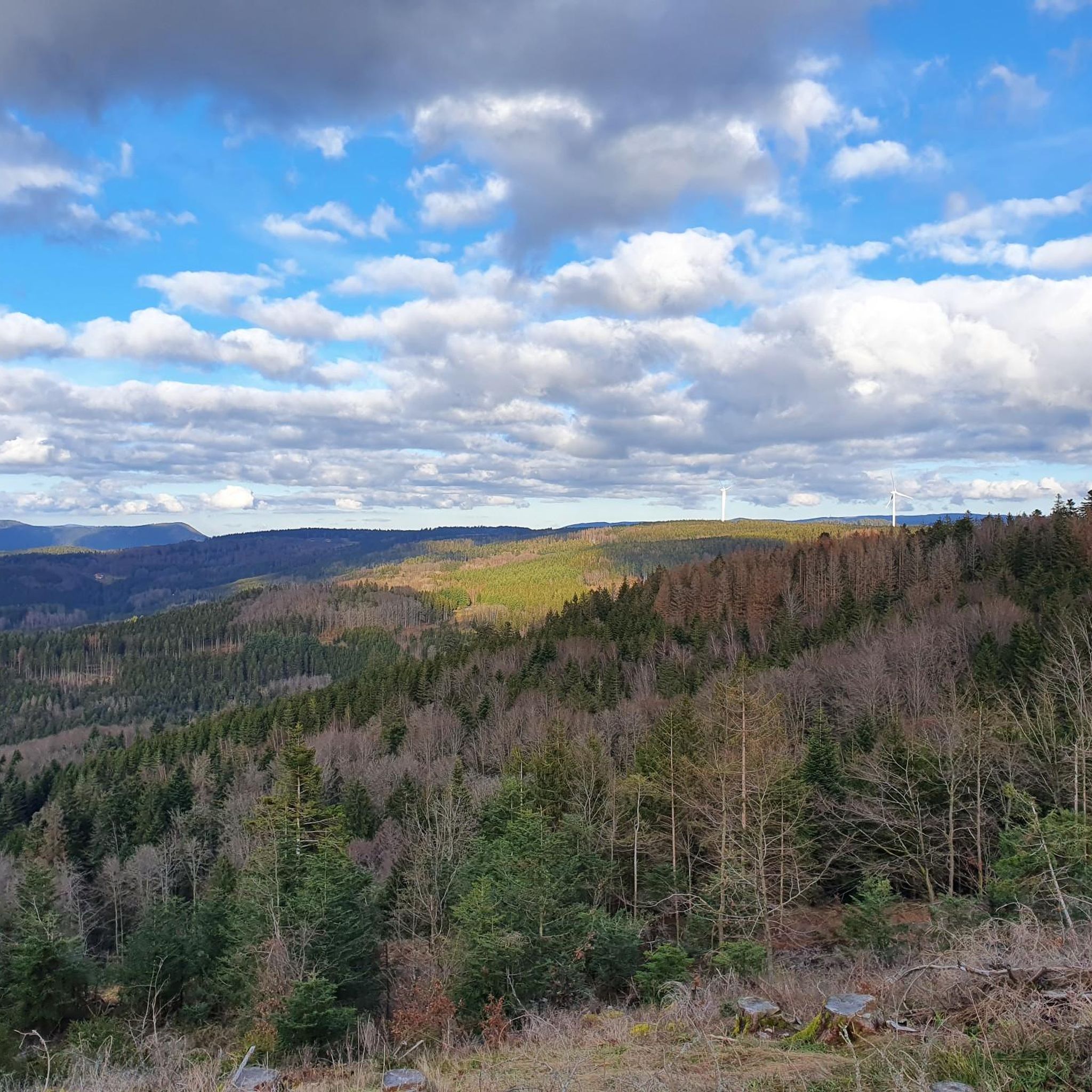
The Vosges sandstone rock is equipped with an iron ladder and gives a panoramic view of the region, over the territories of Nayemont, Saint-Jean d'Ormont and Saint-Dié-des-Vosges.

번역: Google

1

0

Very good but hard...

번역: Google

1

0

그랜드럽트 주변에서 가장 인기 있는 경로

그랜드럽트 로드 사이클링 경로

그랜드럽트 주변에서 가장 인기 있는 명소

Places to see

Store rating

komoot 모바일 앱으로 영감을 받아보세요

무료 komoot 계정로 끝없는 야외 모험을 손쉽게 찾고, 맞춤 설정하며 길안내할 수 있어요.

또는

지금 komoot에 가입하세요

Store rating

더 살펴보기

그랜드럽트 주변의 최고의 동굴을 찾기 위해 이 가이드를 확인해보세요:

게르트제Ban-Sur-Murthe-ClefcyXonrupt-Longemer르 발탱고소하다리에제게르베팔그랑주-오몽제프레이즈아랑테스 드 코르시외La Croix-Aux-Mines바비세로아놀드반드라벨린맨드레이뤼세코르시외리하우팔라 샤펠 데방 브뤼에르비스바흐반드삽동전앙트르-듀-오루빈콤브리몬트무시벡사인코트라온 쉬르 플레인레이브스샹드레이게마인구트모옌무티에생스테일루비니르 버몬트르 솔시테인트룩스베르트리무티에라부아브르드니파르생장도르몽허바체세노네스알라몬트르 푸이드벨발라 쁘띠-라온비유물랭리모믹스프라펠르 몽명명하다라 쁘띠-포스라온레타프생 레오나르도생 미셸 쉬르 메르트셀레 쉬르 플레인솔시 쉬르 메르트페어-엣-그랜드럽트누빌러 쉬르 파브메닐 드 세논샤타스에티발-클레어퐁텐라 후시에르레서생트 마거리트나예몽레포스자연 보호 구역 뒤 타네-가종-뒤-파잉르 뷰레라 부르공스모르타뉴레 루즈오비폰테인프로방셰르 에 콜로이라 그란데포스주사루트비엔빌부아드샹라살생레미헤르펠몬트

근처 어드벤처 가이드

르 버몬트 즐길거리

background

새로운 정복을 위한 준비를 하세요

무료로 가입하기

탐험하기
경로경로 플래너기능하이킹MTB 트레일로드 사이클링 경로바이크패킹사이트맵
앱 다운로드
소셜 미디어에서 팔로우하기

© komoot GmbH

개인 정보 보호 정책