와타우에서 가장 멋진 20개의 산 정상
와타우의 산 정상에 오르면 이 지역의 아름다운 모습을 제대로 구경할 수 있어요. 다만, 20
곳이나 되는 산 정상 중에서 어떤 곳을 가야 할 지 고민된다는 게 문제죠. 와타우에서 가장 멋진 산 정상을 살펴본 후에 마음에 드는 산 정상을 다음 모험 계획에 추가해보세요.
마지막 업데이트: 10월 9, 2026


오늘 무료 계정으로 시작하세요
다음 모험이 기다리고 있어요.
와타우 주변 인기 장소
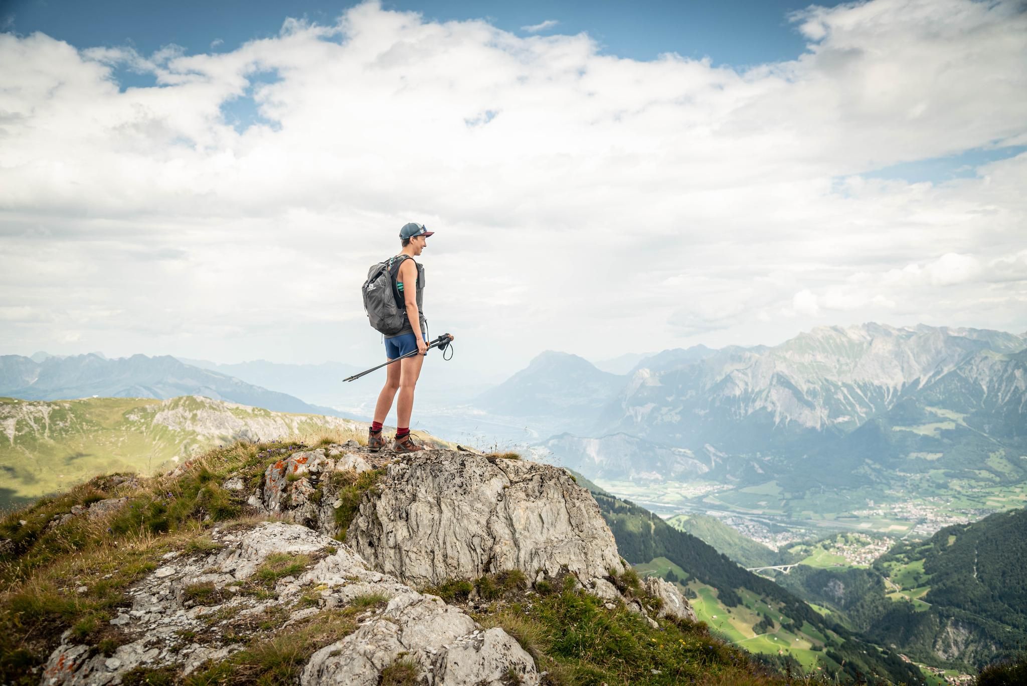
Peak bagging hikes in Heidiland
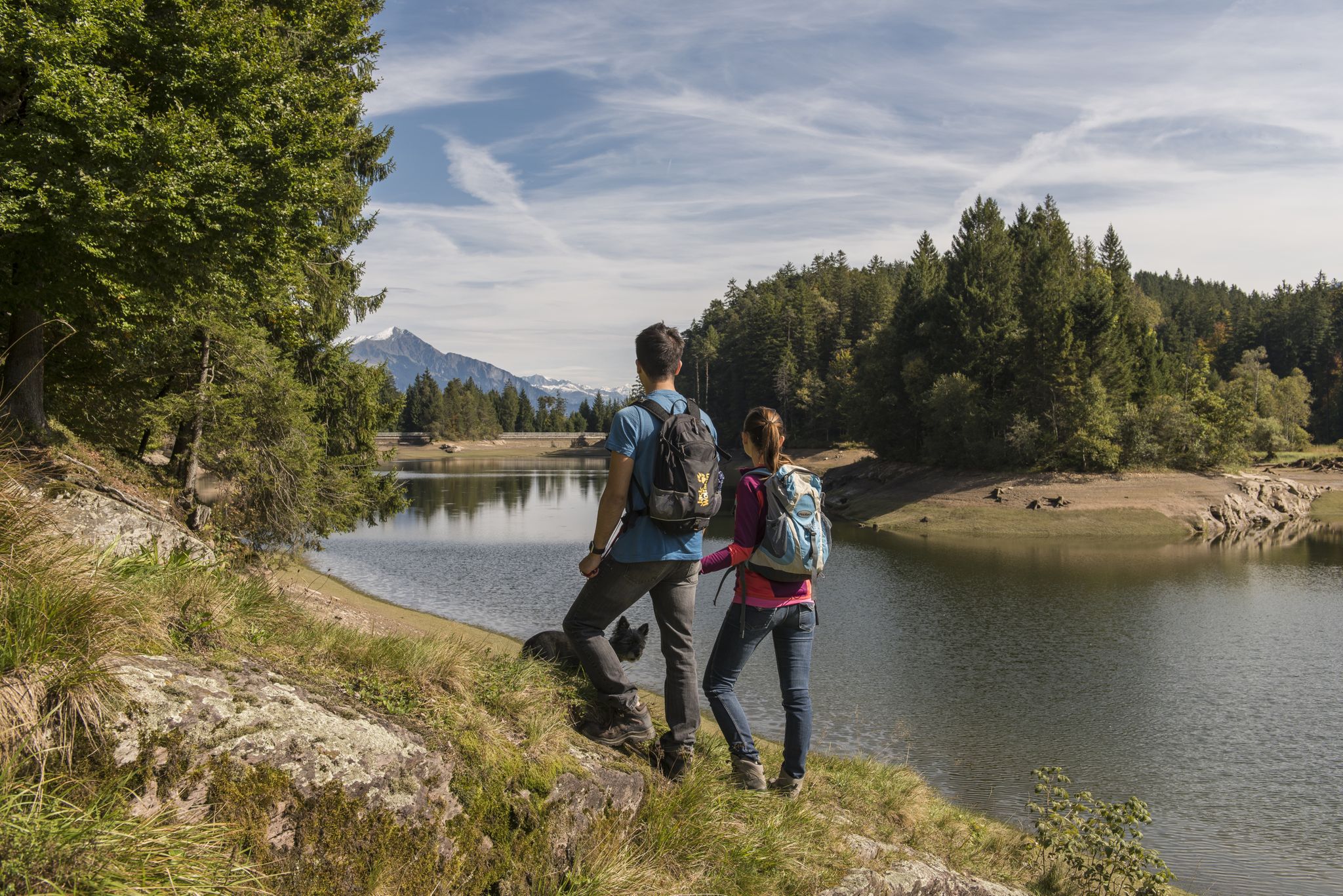
Summer in Eastern Switzerland – 10 hikes in Heidiland

Blue lakes, wide panoramas & autumnal splendour – hiking in Heidiland
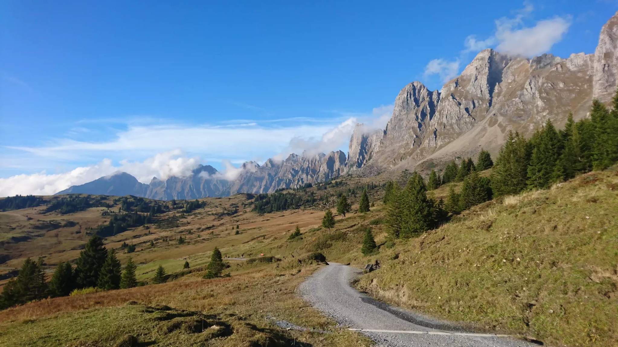
Wonderful panoramic bike tours over Lake Walensee
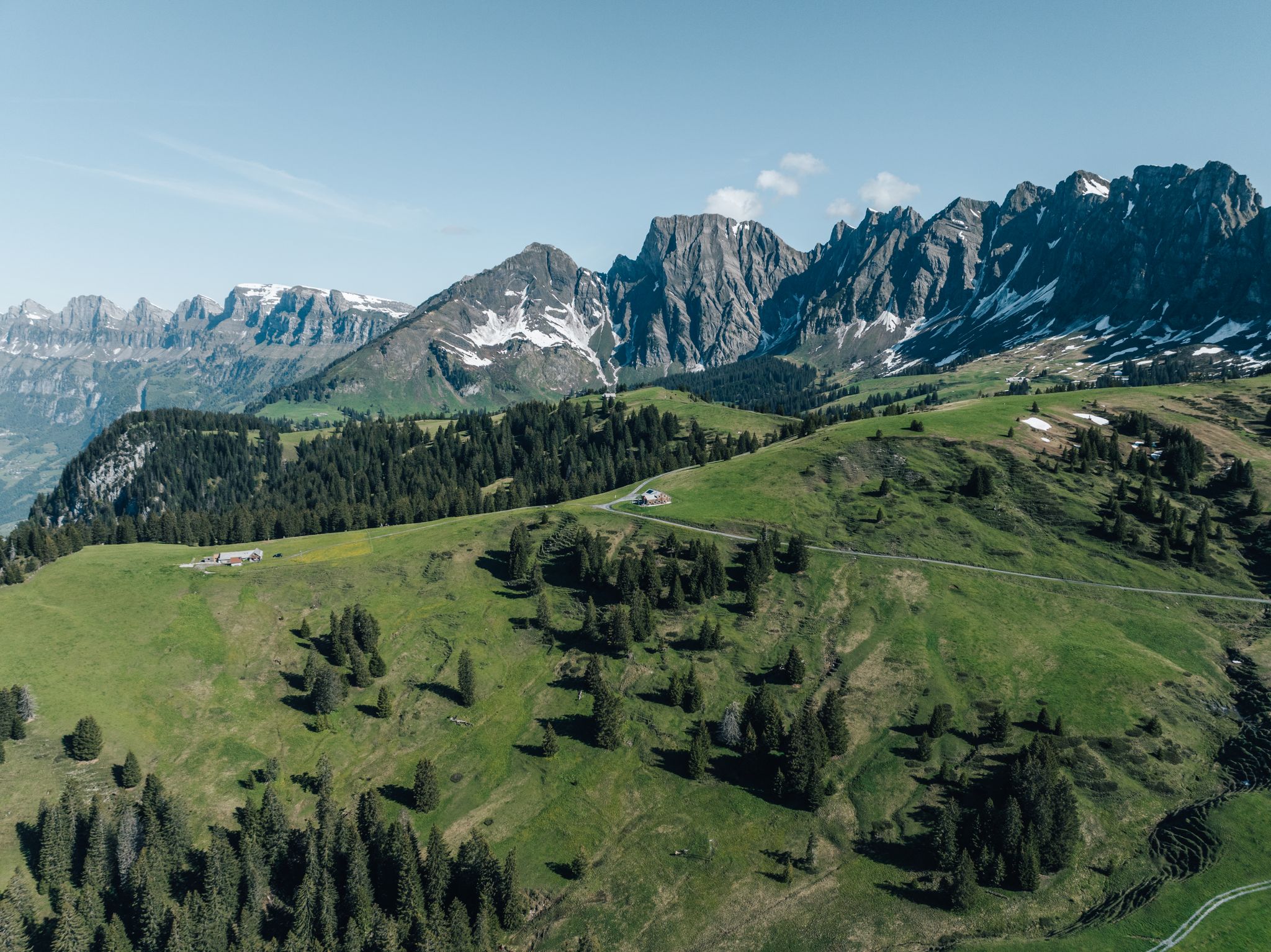
Hochebene Palfries: Entdecke die schönsten Wanderungen
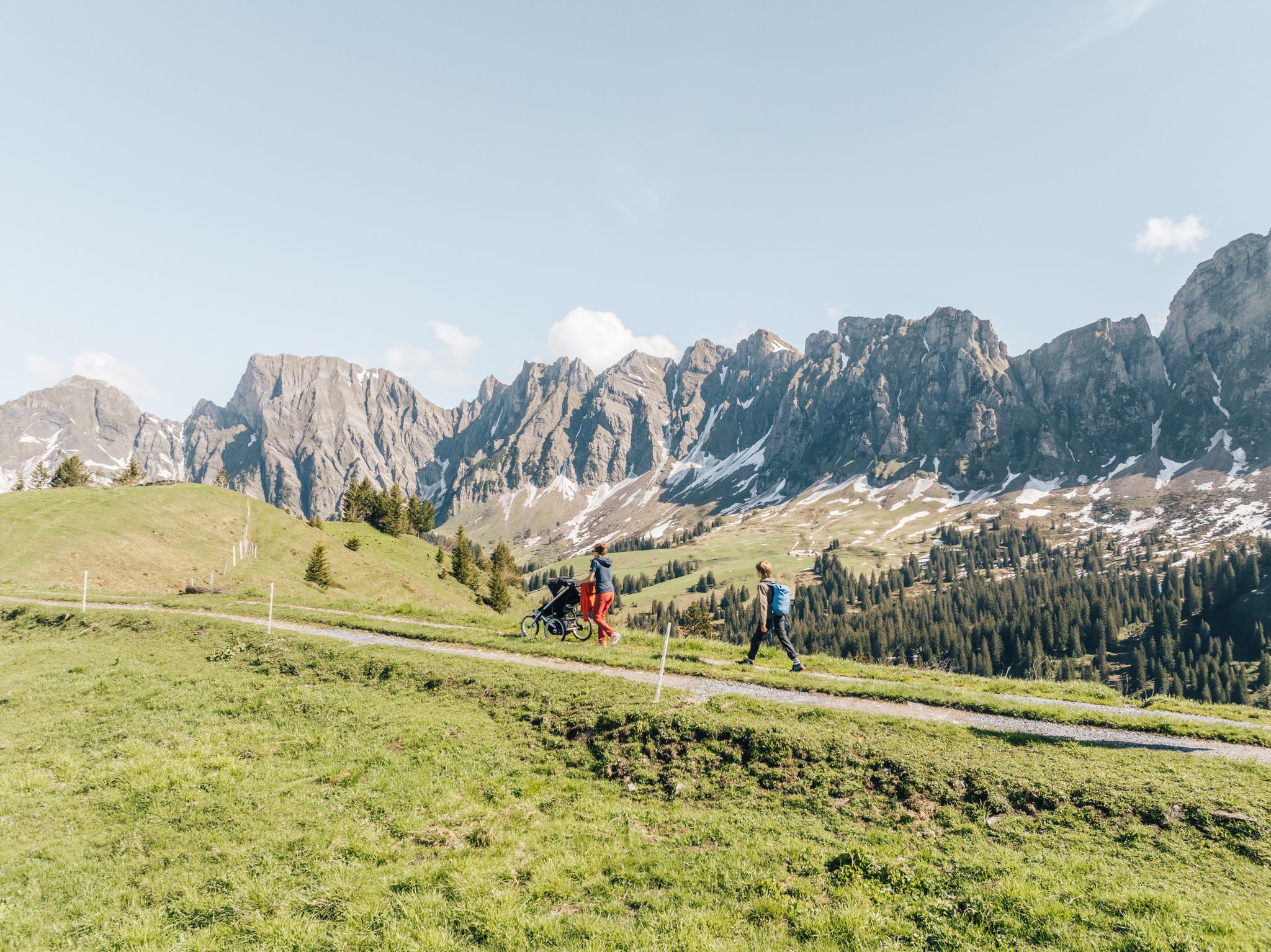
Sennis-Rundtour: Dein Kombi-Erlebnis mit Seilbahn, Wanderung & Bus
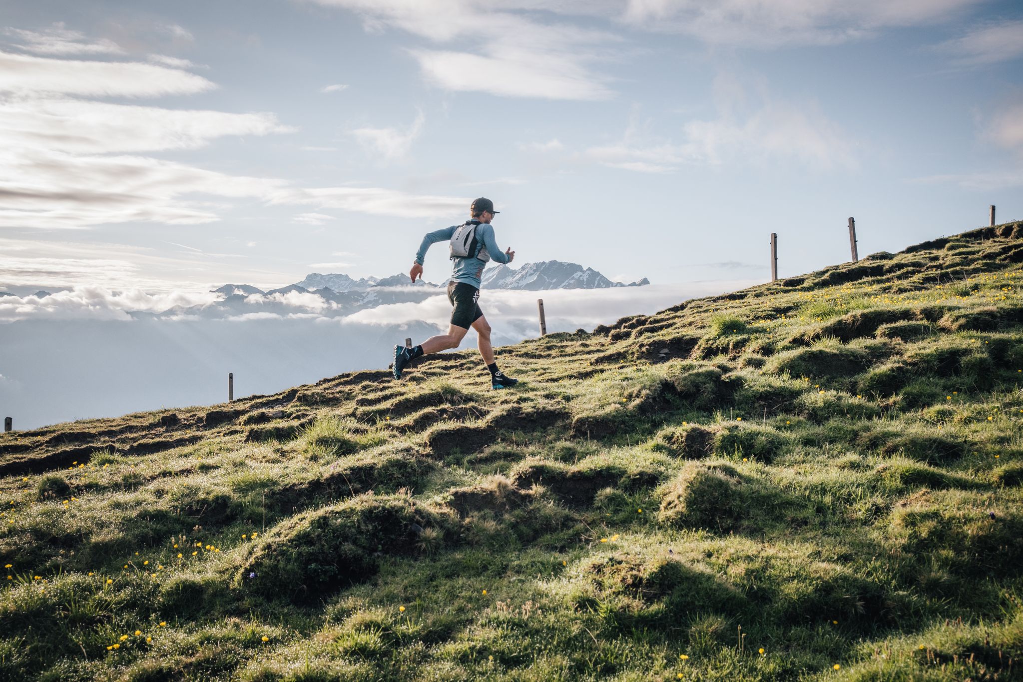
Trailrunner-Geheimtipp: Herausfordernde Trails & bequeme Rückfahrt mit der Seilbahn Palfries
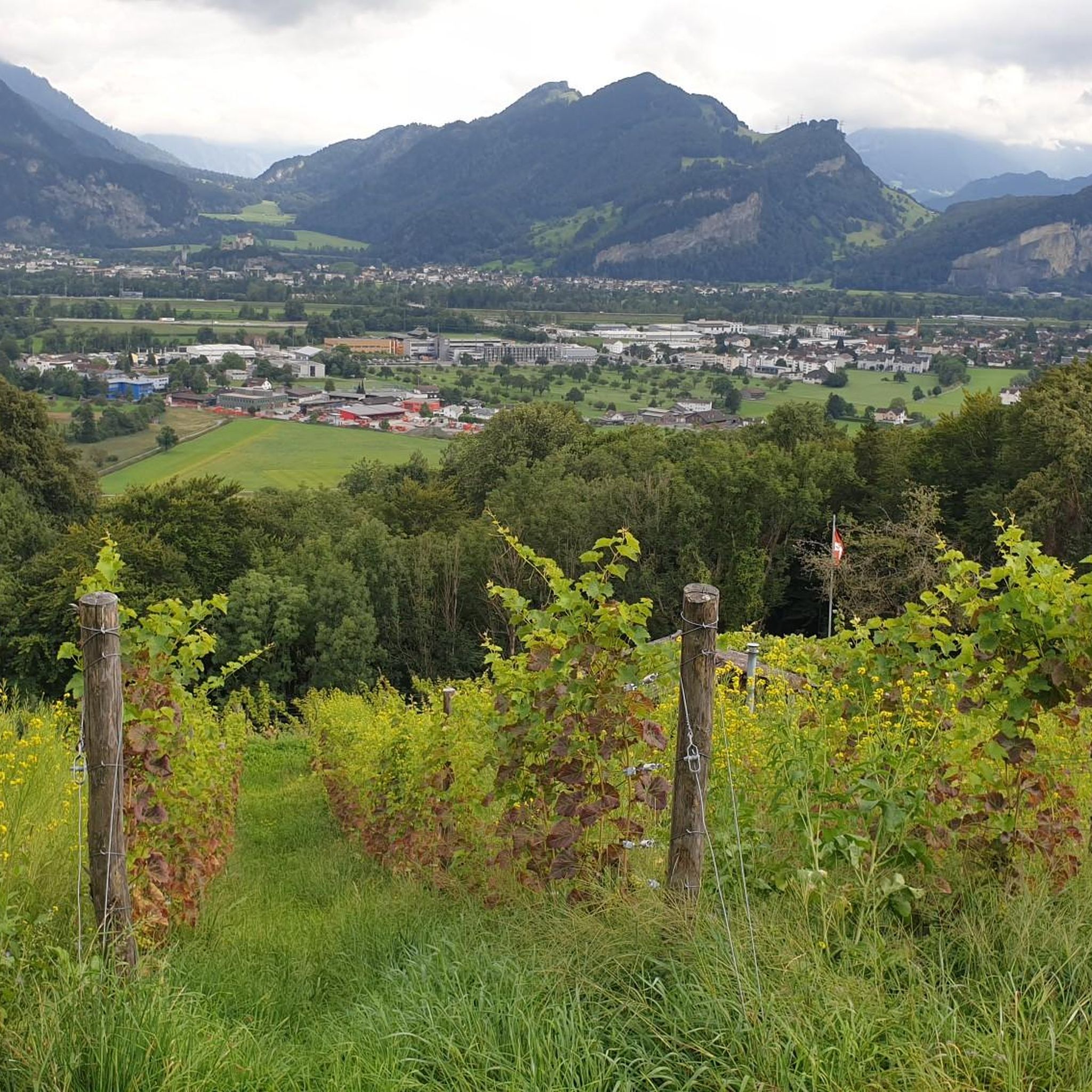
와타우 하이킹
와타우 로드 사이클링 경로
와타우 MTB 트레일
와타우 주변의 다른 모험


커뮤니티 팁

Chäserrugg Summit Restaurant at 2,262 m above sea level / Panoramic views of 6 countries Refined cuisine with panoramic views of 6 countries – the summit restaurant by Herzog & de Meuron offers unforgettable moments at 2,262 m above sea level, whatever the weather. Even during construction, the mountain station set an example: out of respect for the environment, all materials, with the exception of the crane, were delivered by cable car. Sustainability is essential for us, and we are committed to using regional and seasonal products. The entire restaurant is wheelchair accessible and easily reachable by cable car for people with reduced mobility. Text / Source: Toggenburg Mountain Railways, Unterwasser https://www.chaeserrugg.ch/de/geniessen/restaurants/gipfelrestaurant-chaeserrugg
14
0

The summit lies on the border between Liechtenstein and Switzerland, between the Graubünden municipality of Fläsch and the Liechtenstein municipality of Triesen. It is accessible via a hiking trail and lies at 2,560 m above sea level. The view from Falknis extends northward beyond Lake Constance. Source: Falknis - Wikipedia https://share.google/8XutRhc1mPOcqfBan A breathtaking 360° view awaits you on Falknis.
6
0
The Hinterrugg (or Hinderrugg) is the highest peak (2306 m above sea level) of the Churfirsten group in the Appenzell Alps.
9
0
A great mountain, which can get a bit crowded on nice days. It's worth hiking up as the trails are great!
12
1

when the air is clear, fantastic views of the Alps in all directions
0
0

Warning: the route is extremely questionable!!! The route is highly recommended up to the summit of the Alvier and the descent to the rear. However, from this point onwards the route is no longer marked as a hiking trail and is sometimes difficult to recognize. At the latest from the ridge walk after the Gauschla summit, the recommendation of the route should be questioned. The subsequent descent on the south-east flank is considered impossible and life-threatening. At this point we had to abandon the route and, under time pressure, make our way home via the Alvier.
0
2
The most beautiful local mountain in the world😎
8
2
Grabs' local mountain. Great views and great paths up.
8
0


