아브랑슈에서 가장 멋진 20개의 천연기념물
천연기념물을 방문하여 아브랑슈의 아름다운 풍경을 만나보세요. 아브랑슈에 있는 20
개의 천연기념물과 상세 정보를 살펴본 후에 방문하고 싶은 천연기념물을 다음 모험 계획에 추가해보세요!
마지막 업데이트: 10월 18, 2026


이런 장소를 발견하려면 지금 가입하세요
최고의 싱글 트랙, 봉우리 및 다양한 흥미로운 야외 장소에 대한 추천을 받아보세요.
르 그루앵 뒤 쉬드
하이라이트 • 전망대
번역자 Google •
팁에 의해

도아니에르 산책로 – 뤼드 계곡과 카롤 해변에서 생장르토마까지
하이라이트 (구간) • 트레일
번역문 보기
팁에 의해


퐁토보의 셀륀 강 기슭
하이라이트 • 강
번역자 Google •
팁에 의해

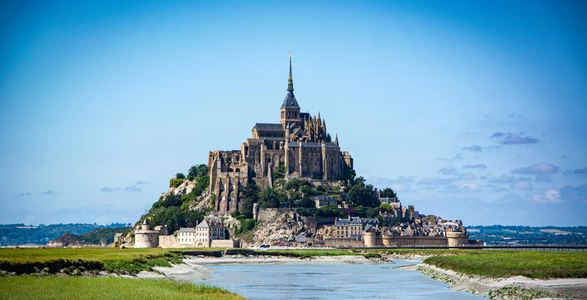
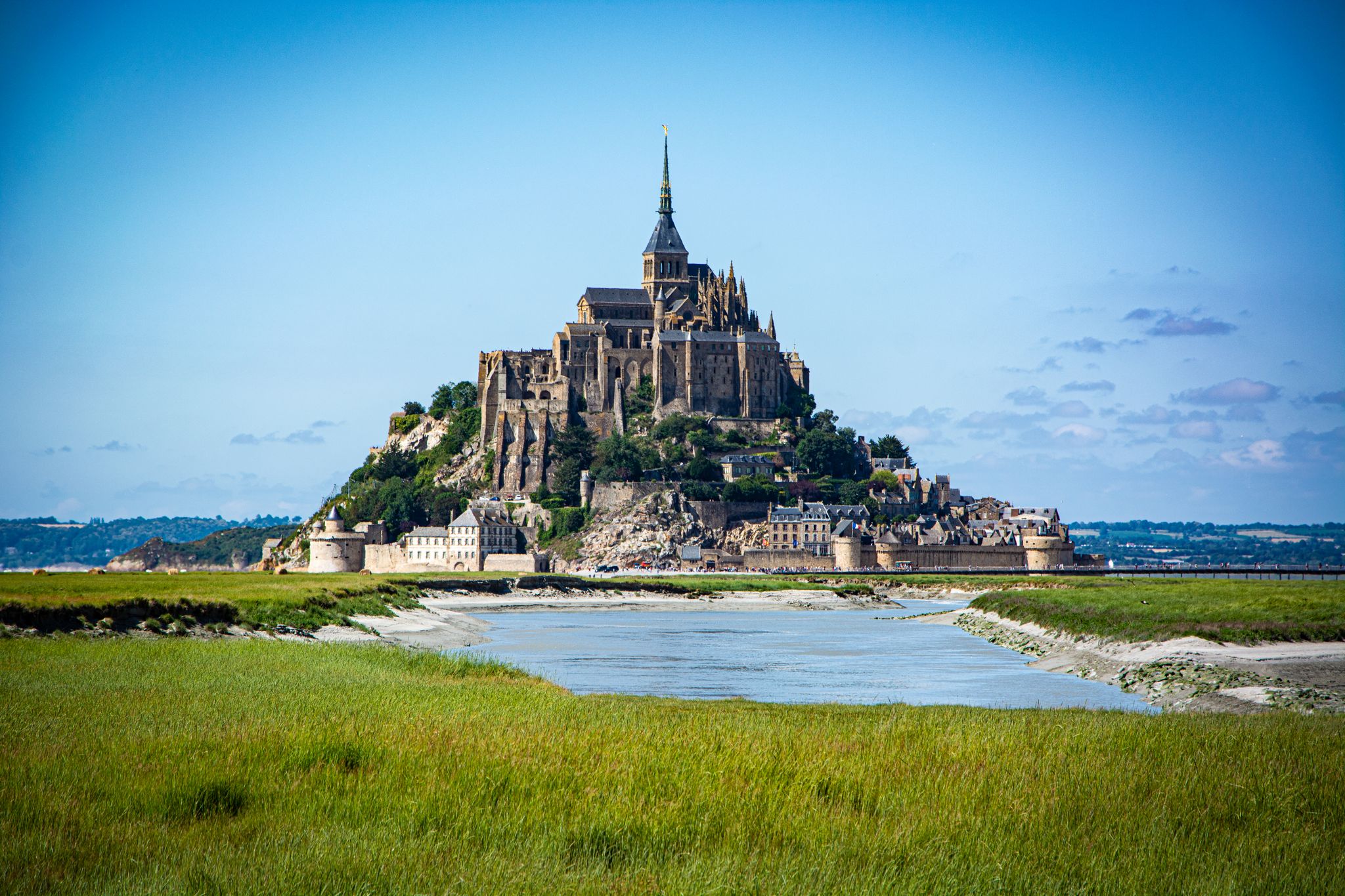
투르 뒤 노르 – 몽생미셸 수도원과 만의 전망
하이라이트 • 전망대
번역자 Google •
팁에 의해


오늘 무료 계정으로 시작하세요
다음 모험이 기다리고 있어요.
아브랑슈 주변 인기 장소
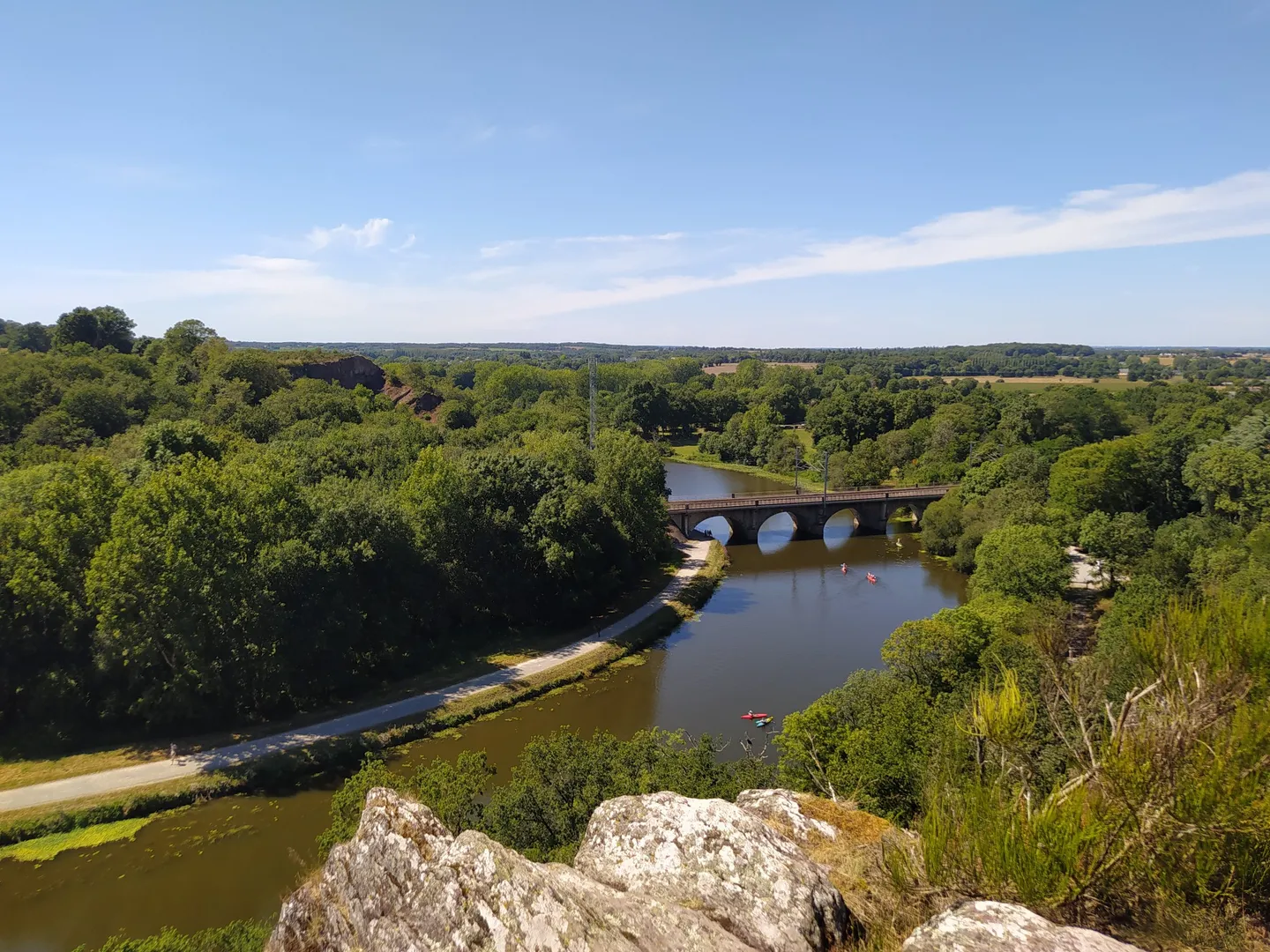
GR 39 — 브르타뉴의 역사적 흔적을 따라서
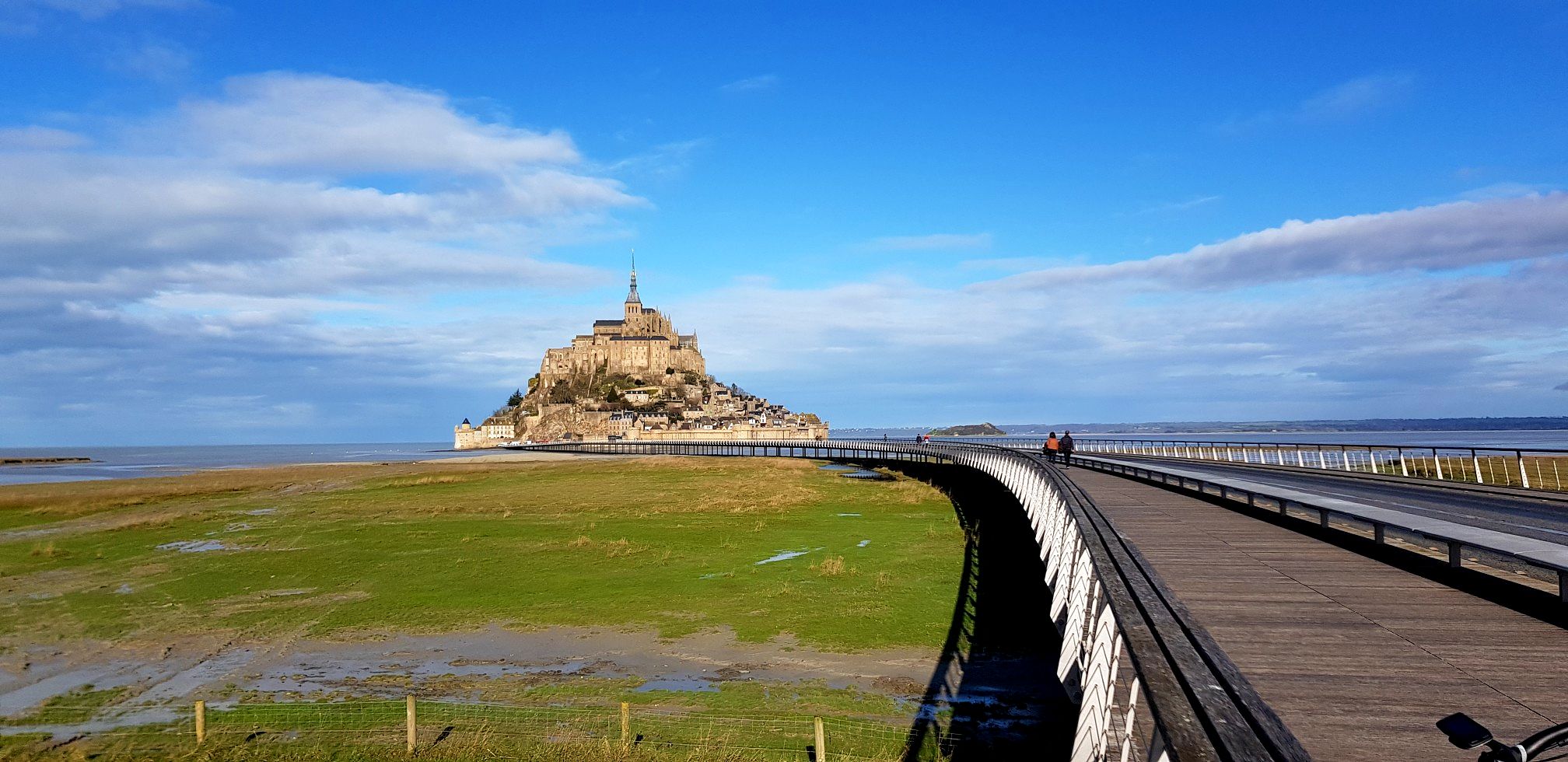
미켈로의 산책 – GR 22로 몽 생 미셸까지
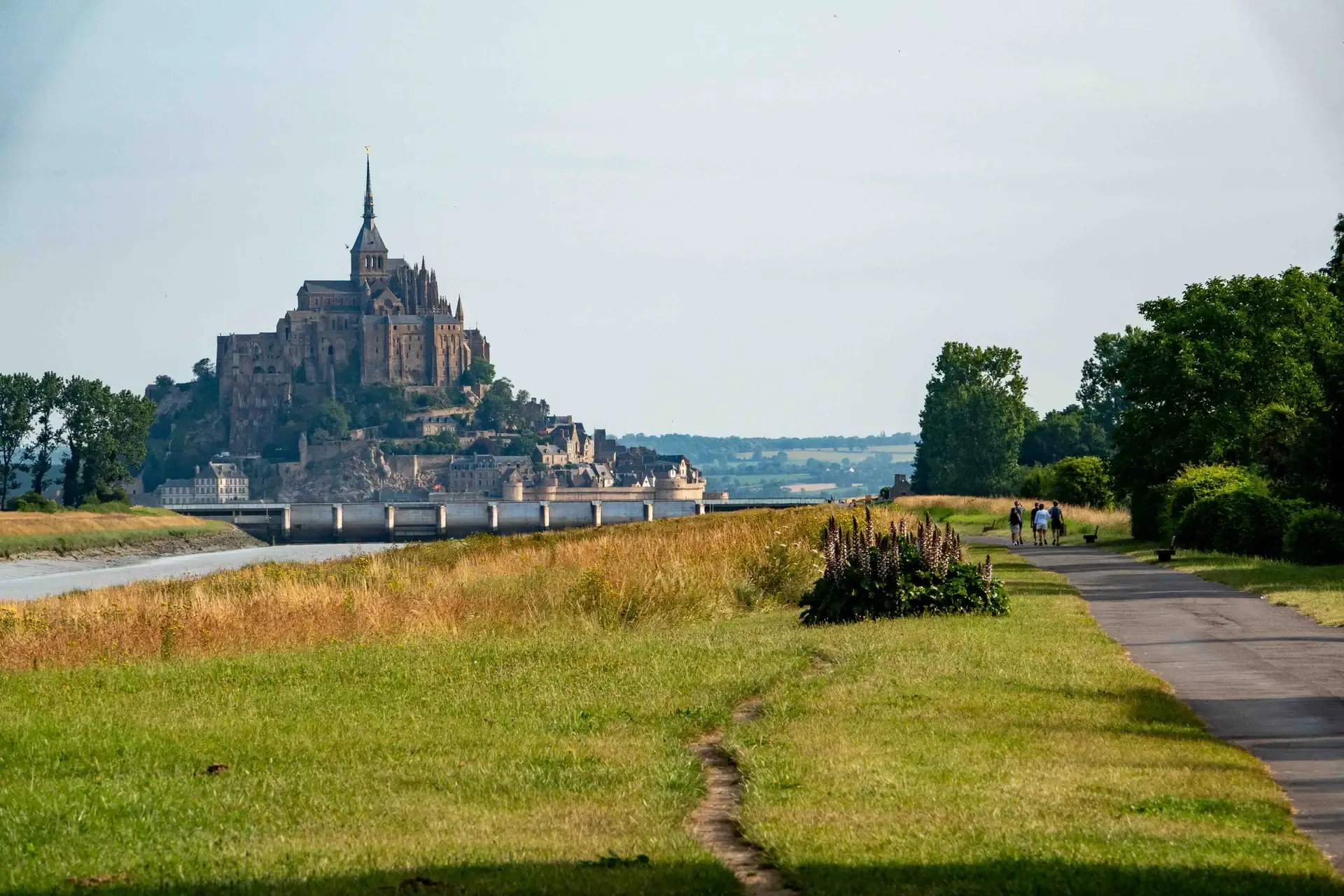
역사와 미식 - 라 레갈란테
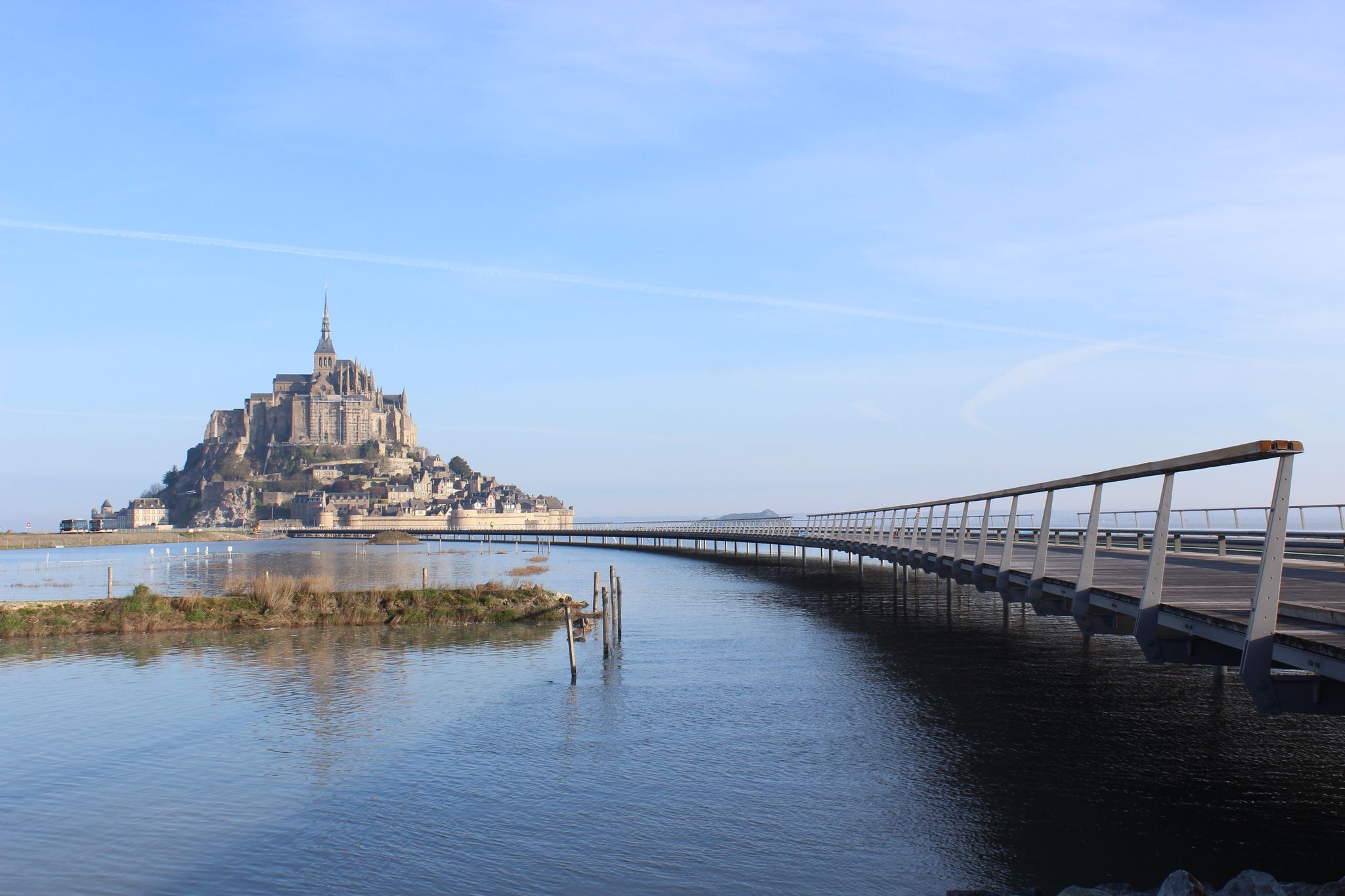
Paris Mont-Saint-Michel — La Véloscénie
노르망디의 코탄탄에서 몽-생-미셸까지 하이킹 – GR 223 (두 번째 부분)
제목 정보 수 이미의 - GR 34 Saint-Malo을 Pontorson은 기이터
일이 스타리스 월로 일 - 11 일력 부어한을 브중한
핑크 그라나이트에서 오팔 해안까지 - 프랑스의 la Vélomaritime를 자전거로 타세요
영국 해협의 해안선 — 투르 드 망쉬
아브랑슈 하이킹
아브랑슈 주변의 다른 모험


커뮤니티 팁

Il Sentiero dei Doganieri는 Carolles, Vallée du Lude, Saint-Jean-le-Thomas(노르망디, Manche 지역)를 잇는 약 6-6.3km의 해안 및 자연 코스로, 소요 시간은 약 1시간 40분입니다.
0
0

성 아우베르투스(Aubert of Avranches)는 8세기에 노르망디 지역의 도시 아브랑슈(Avranches)의 주교였습니다. 기독교 전승에 따르면, 그는 나중에 몽생미셸(Mont-Saint-Michel)이 될 바위 위에 최초의 성소를 세웠습니다. 전설에 따르면 대천사 미카엘이 그에게 여러 차례 나타나 당시 몽톰브(Mont Tombe)라고 불리던 곳에 교회를 세우라고 명했습니다. 처음에는 망설였지만, 아우베르투스는 이 명령을 따르고 예배당을 지었으며, 이것이 유명한 순례지 몽생미셸의 기원이 되었습니다. 아우베르투스는 경건한 주교로 숭배받습니다. 그의 축일은 9월 10일입니다.
12
0

많은 방문객들이 예배당의 화강암 벽을 손으로 쓸어내리거나 잠시 손을 얹습니다. 그것이 가져다준다고 합니다: • 행운, • 여행 중 보호, • 또는 소원 성취. 하지만 이 관습을 입증하는 공식적인 역사적 출처는 없습니다. 많은 순례지와 마찬가지로 방문객과 가이드가 전해 내려오는 지역 전승입니다.
3
0
성인 오베르(Aubert)는 누구였습니까? 전설에 따르면, 708년에 대천사 미카엘이 꿈에 세 번 나타나 당시 몽토름(Mont-Tombe)에 교회를 세우라고 명했습니다. 오베르는 처음 두 번의 계시를 꿈으로 여기고 무시했습니다. 세 번째에는 미카엘이 참을성을 잃고 그의 이마를 손가락으로 만졌는데, 그 힘이 너무 강해 두개골에 구멍이 생겼다고 합니다. 이 천사의 손가락으로 인해 생겼다고 하는 이 구멍은 오늘날까지도 아브랑슈(Avranches)의 대성당에서 볼 수 있습니다. 그제서야 오베르는 최초의 성지 건축을 시작했으며, 이곳이 나중에 몽생미셸(Mont-Saint-Michel)이 되었습니다. 따라서 이 조각상은 그를 주교로 묘사하고 있습니다: • 머리에는 주교관을 쓰고, • 주교복을 입고, • 오른팔은 축복을 내리는 자세로 들고, • 목자는 어깨에 메고 있습니다.
3
0

The documentary film "Border Paths – The Customs Officers' Trail" is described on its website as follows: "The historic Customs Officers' Trail begins at the famous pilgrimage site of Mont Saint-Michel and is now one of France's most popular hiking trails. Along its 1,700 kilometers, between Mont Saint-Michel in the north and Saint-Nazaire in the south of the Breton peninsula, hikers can discover impressive landscapes with a rich diversity of flora and fauna. Passing rugged cliffs, expansive dunes, and seemingly endless beaches, hikers become border crossers on a floating border that shifts with the rhythm of the tides." ``` The video about the "Sentier des Douaniers" (duration: 43 minutes / language: German) in the ARD media library can be accessed via the following link =>> https://www.ardmediathek.de/video/grenzwege-der-zoellnerpfad/grenzwege-der-zoellnerpfad/mdr/Y3JpZDovL21kci5kZS9zZW5kdW5nLzI4MjA0MC81MjE2OTktNTAxNzM2
2
0
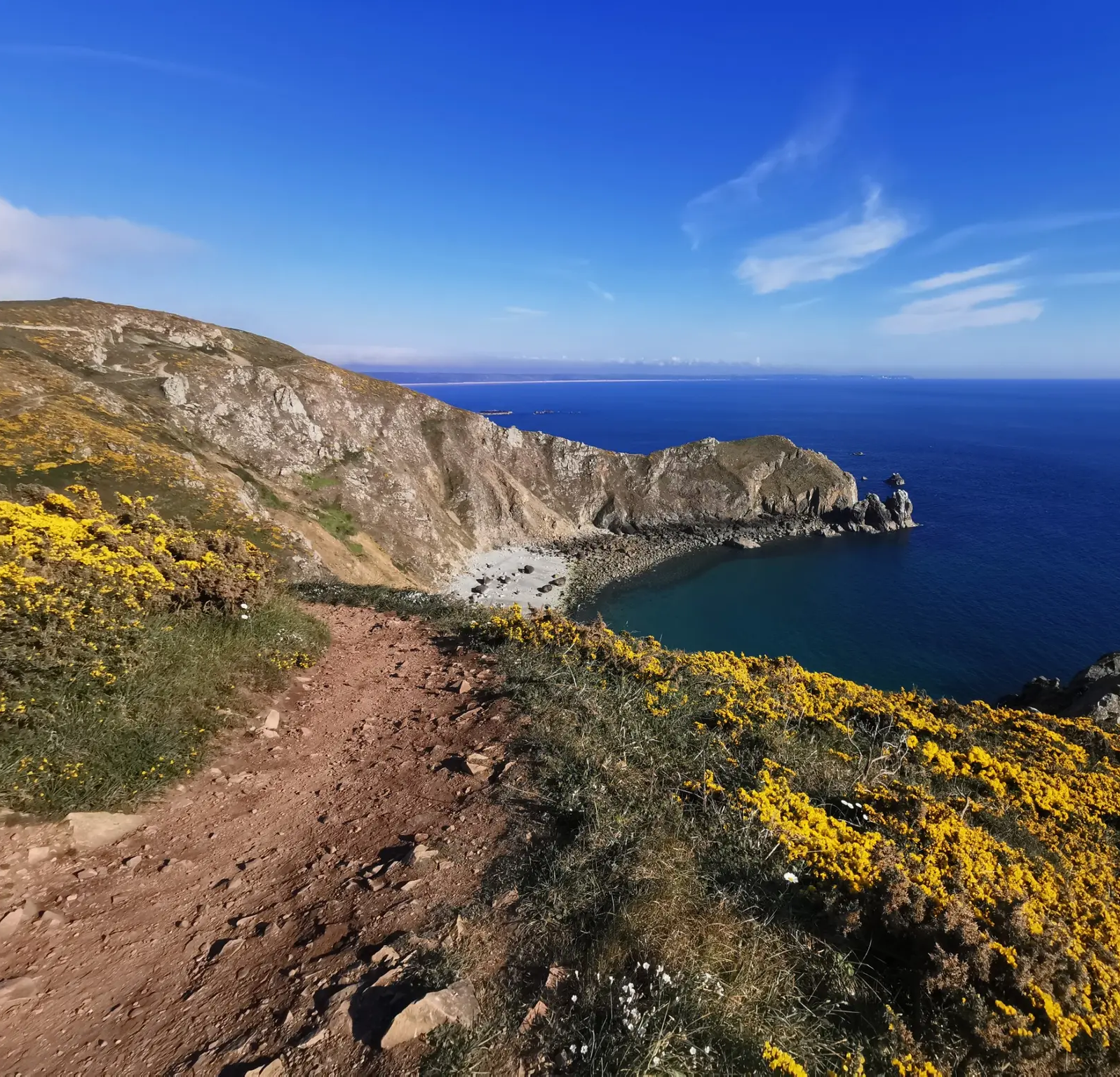
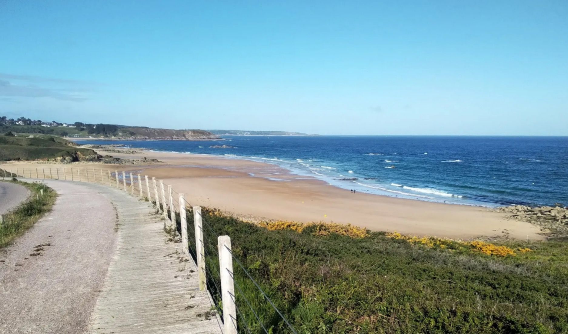
Carolles와 Saint-Jean-le-Thomas 사이에는 해변, 절벽 해안, 그림 같은 Lude 계곡이 번갈아 나타납니다. 계곡에서는 Rocher du Sard와 역사적인 Cabane Vauban에서 Mont-Saint-Michel 만의 멋진 전망을 감상할 수 있습니다. 이 구간의 일부는 과거 초소와 세관원이 해안을 감시했던 역사적인 세관원 길을 따라 이어집니다. 썰물 때의 평평한 모래 해변과 갯벌은 산책을 즐겁게 하며, GR 223은 역사와 해안 파노라마를 매력적인 하이킹으로 연결합니다.
30
0
The Rocher du Sard lies above the Vallée du Lude. This striking granite rock rises about 70 meters above the sea and offers a commanding view of the Bay of Mont Saint-Michel. Local legend says that the rock was a refuge for the Devil during his battle with the Archangel Michael—hence its nickname, Rocher du Diable.
29
0
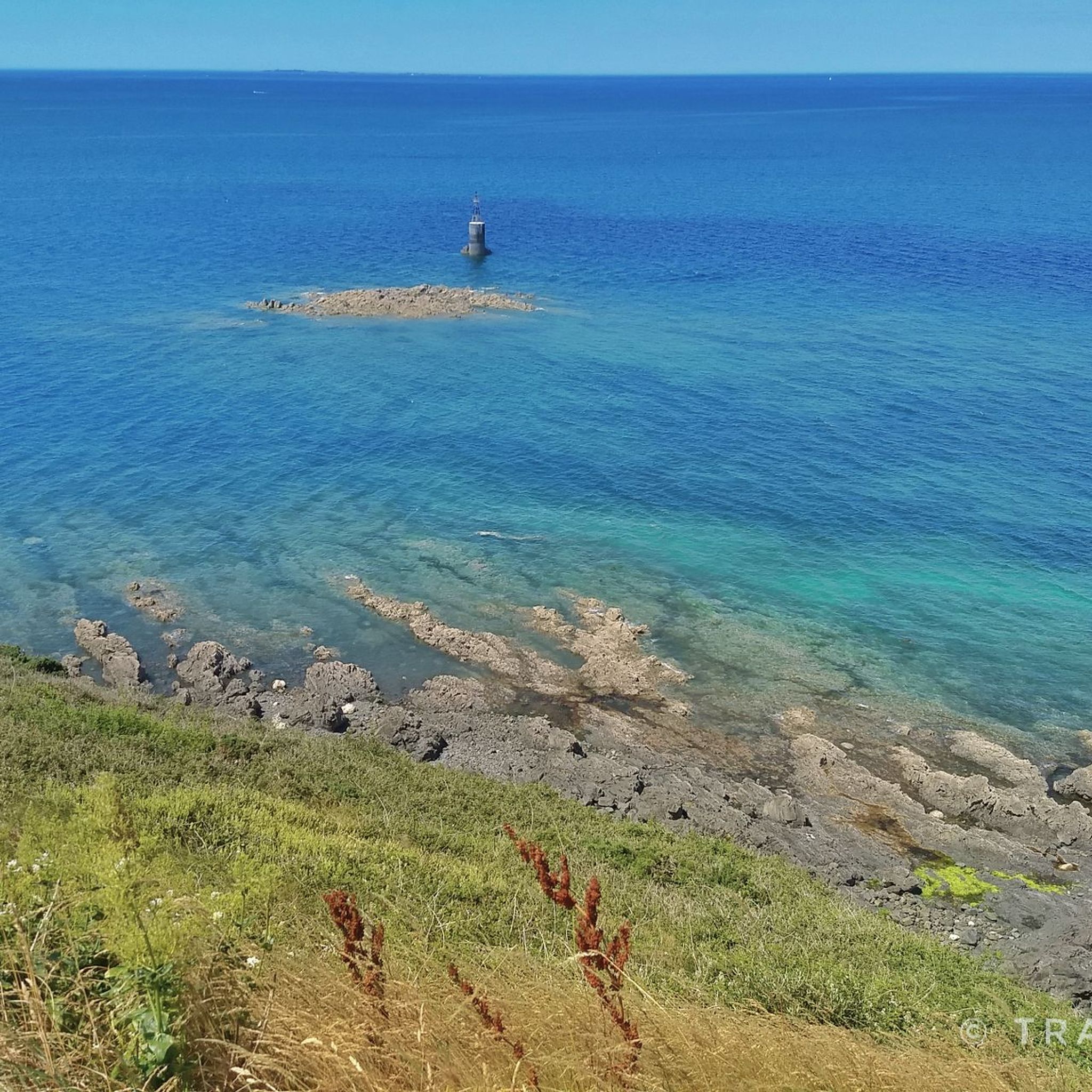
The Grouin du Sud is a natural headland offering impressive views of the bay and the famous Klosterberg. Depending on the tide, the landscape alternates between vast mudflats and ocean views, making the place particularly charming.
1
0
아브랑슈 주변에서 가장 인기 있는 명소


찾고 계신 것을 찾지 못하셨나요?
지역별 최고의 하이라이트를 확인하여 아브랑슈 주변의 더 놀라운 자연 기념물을 찾아보세요:
