아작시오에서 가장 멋진 20개의 천연기념물
천연기념물을 방문하여 아작시오의 아름다운 풍경을 만나보세요. 아작시오에 있는 20
개의 천연기념물과 상세 정보를 살펴본 후에 방문하고 싶은 천연기념물을 다음 모험 계획에 추가해보세요!
마지막 업데이트: 10월 18, 2026
옛 당나귀 길을 따라가는 피아나의 칼랑크
하이라이트 (구간) • 협곡
번역자 Google •
팁에 의해


이런 장소를 발견하려면 지금 가입하세요
최고의 싱글 트랙, 봉우리 및 다양한 흥미로운 야외 장소에 대한 추천을 받아보세요.
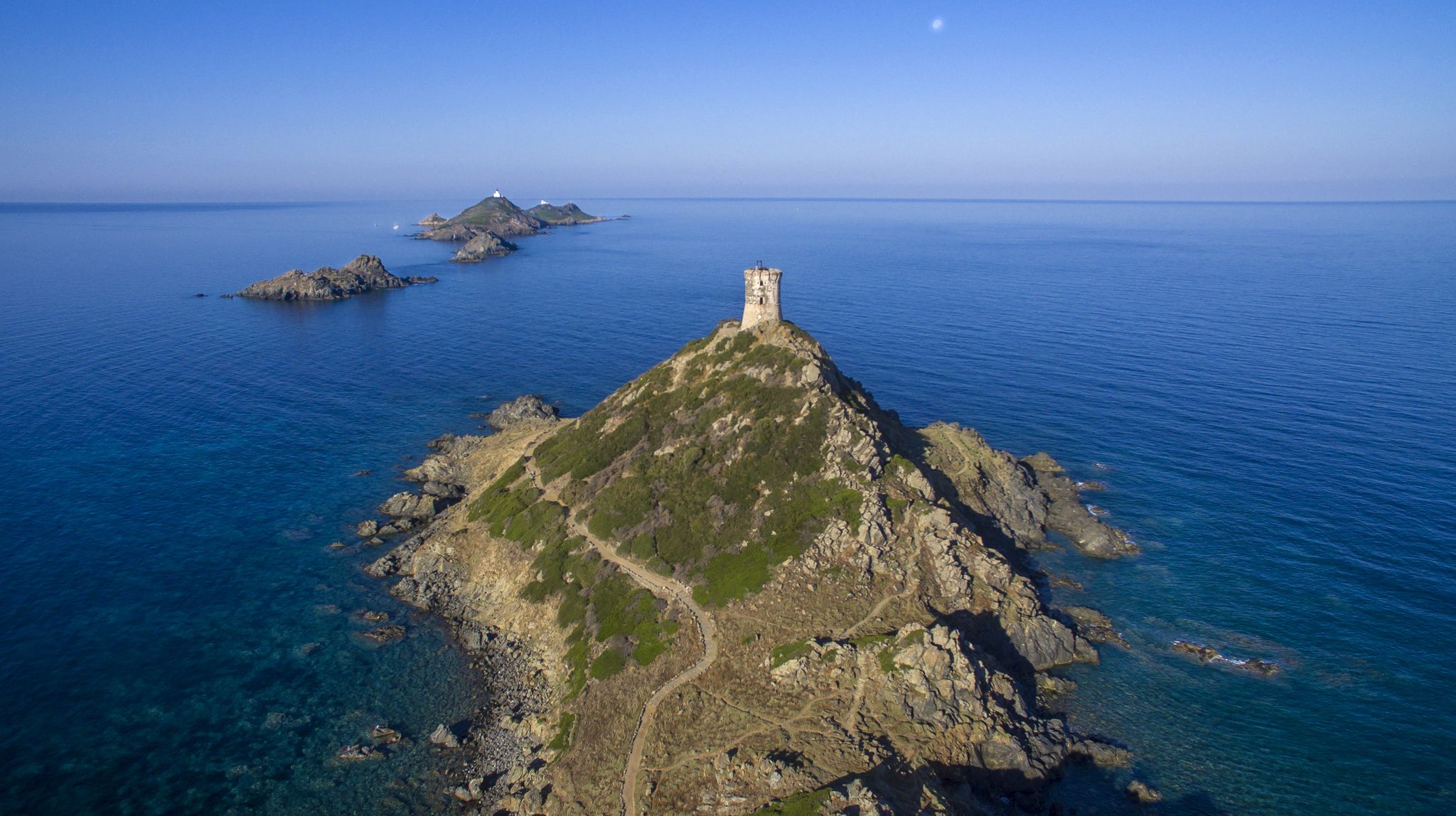
상귀네르 제도의 전경
하이라이트 • 전망대
번역자 Google •
팁에 의해


Bocca alle Porte
하이라이트 • 산악 고개
번역자 Google •
팁에 의해

칼랑크 드 피아나 전망
하이라이트 • 전망대
번역자 Google •
팁에 의해


오늘 무료 계정으로 시작하세요
다음 모험이 기다리고 있어요.
아작시오 주변 인기 장소
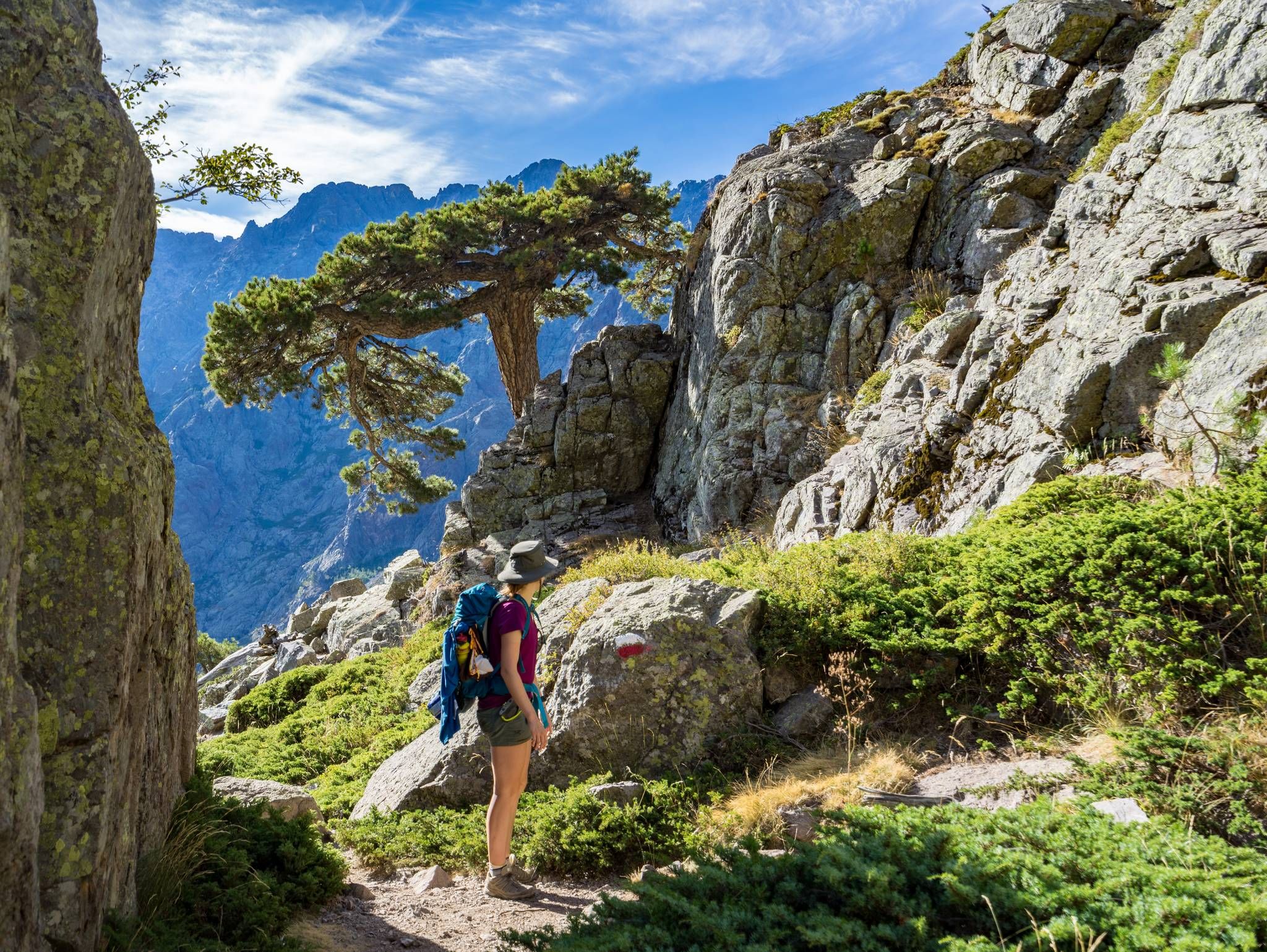
GR20을 따라 코르시카를 지나는 – 유럽에서 가장 힘든 장거리 하이킹 트레일
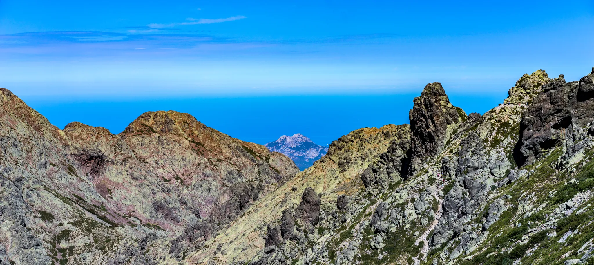
산에서 바다까지 - Mare è Monti 북부
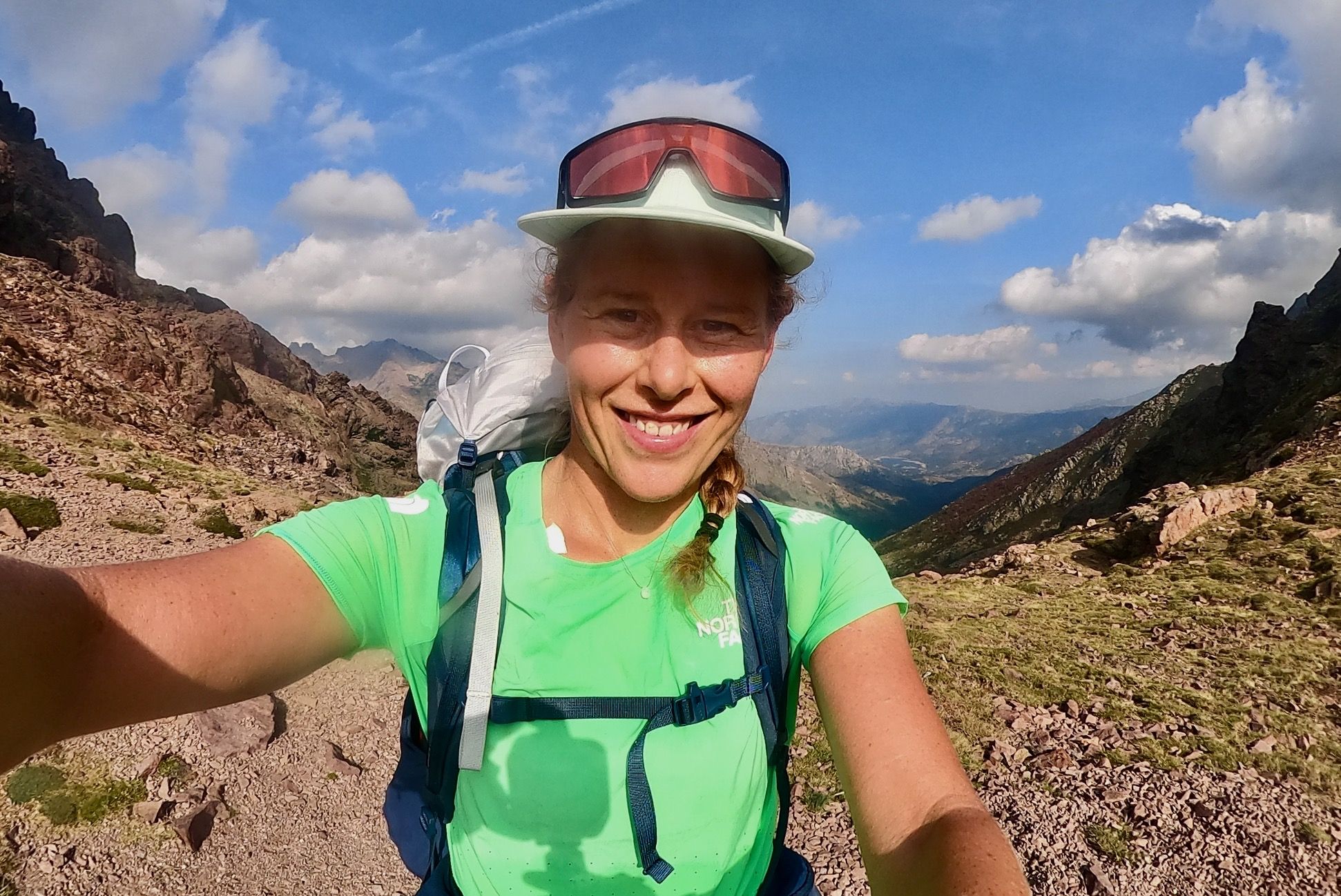
코르시카 GR 20의 산봉우리와 피난소에서 6일간의 백패킹
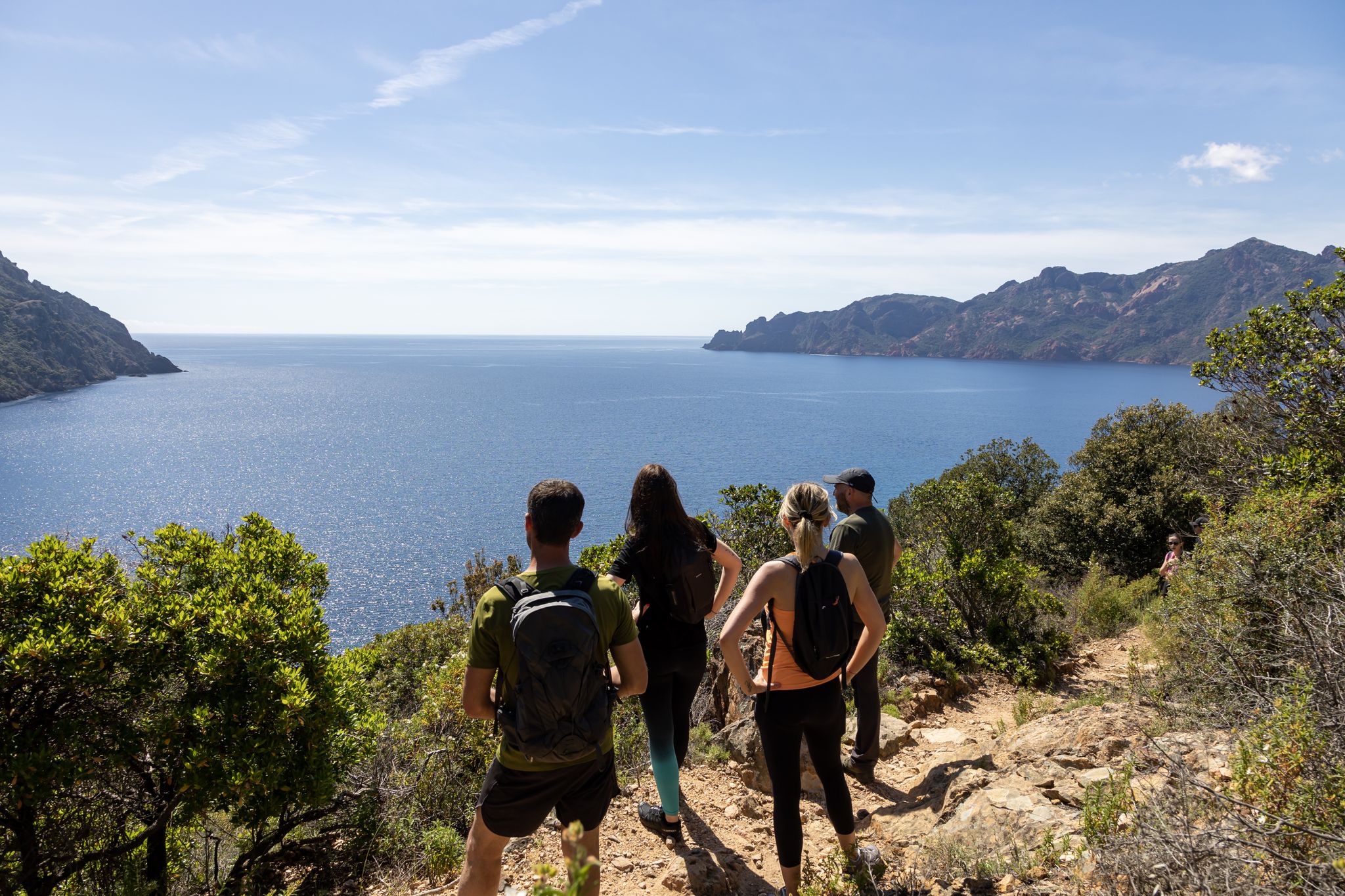
Corsica's discovery hikes — between sea and mountains
The Ajaccio region on foot and by bike – loops between sea and mountain
코르시카 자전거 대횡단 — GT 20
코르시카의 멋진 하이킹 – 자연의 땅
유럽 최강의 트레일 - 코시카의 GR 20을 달리다
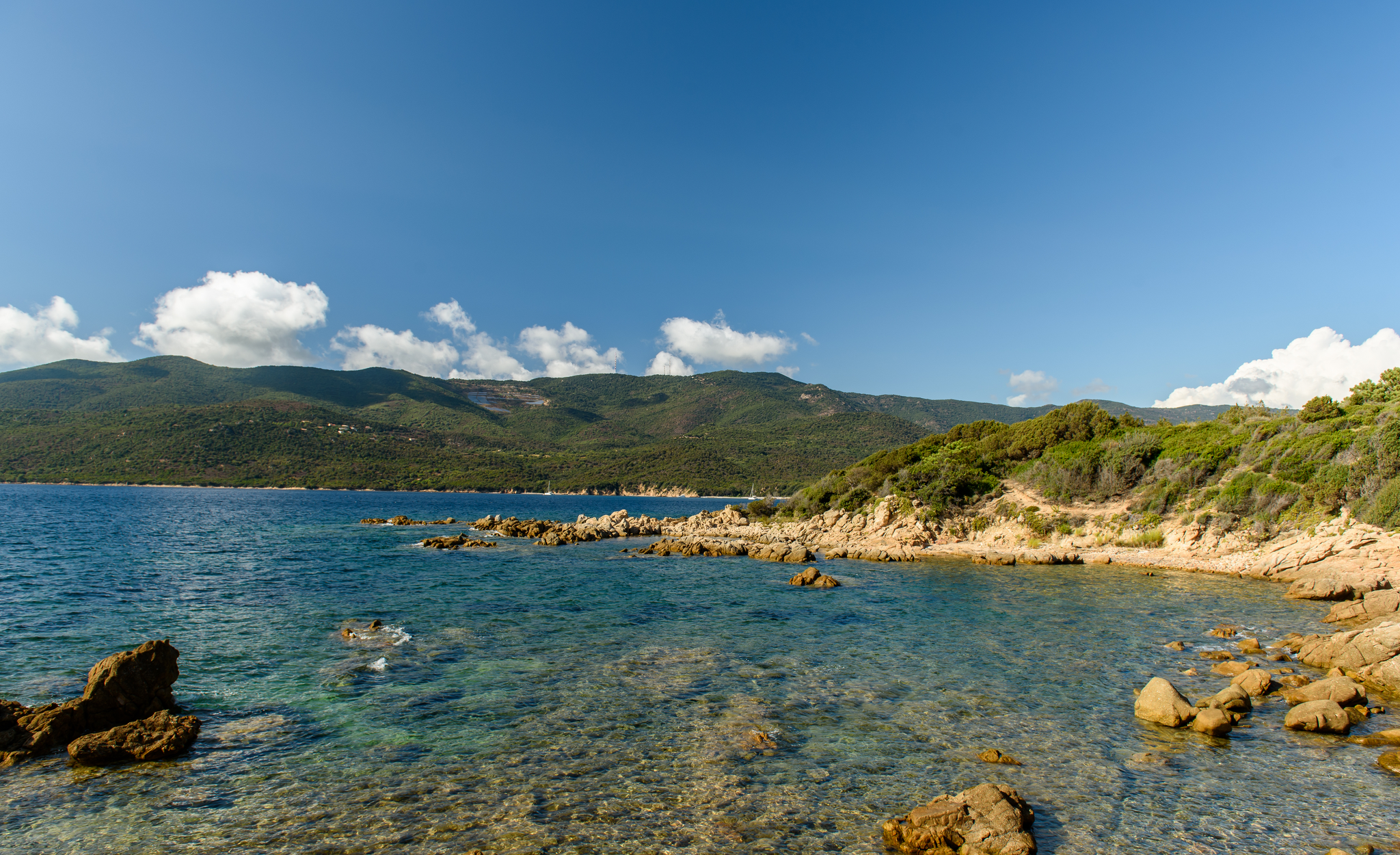
코르시카의 해안과 산맥 - 바다와 산 남부
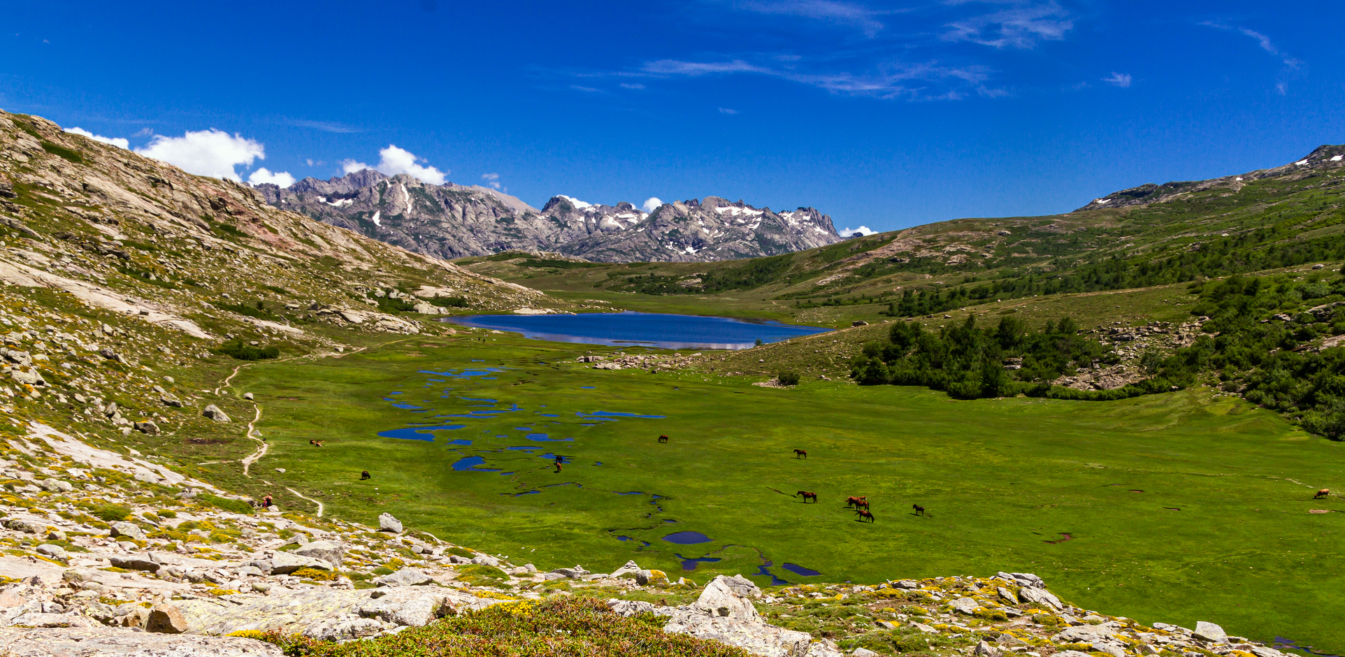
코르시카 목장의 자취를 따라 – Sentier de la transhumance
아작시오 주변의 다른 모험


커뮤니티 팁

The detour on the old GR 20 over the summit is worthwhile.
0
0

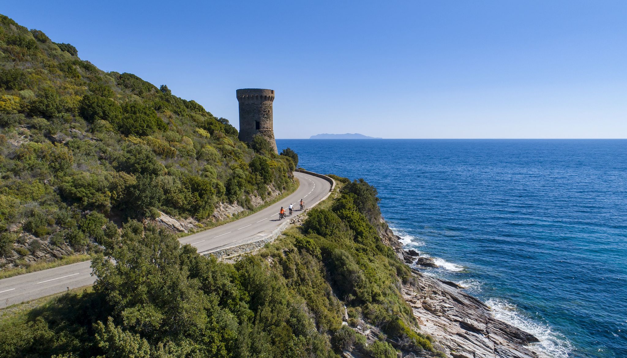
정말 아름다운 코스이며, 자전거로 타야 제대로 즐길 수 있습니다. 길이 좁기 때문에 자동차와 달리 자전거를 타면 사진을 찍기 위해 멈추는 문제가 없습니다. 이곳은 사진 찍을 만한 곳이 정말 많습니다.
0
0

This hike in southern Corsica, between the Gulf of Ajaccio and the Gulf of Valinco, is part of the Conservatoire du Littoral (Coastal Conservatory). It is a beautiful hike from the hamlet of Cascionu that takes you to the Capu di Muru peninsula. The path goes through the scrubland to the Genoese tower of Capu di Muru. From this summit, there is a magnificent panoramic view of the Bay of Cacalu and the Gulf of Ajaccio. The path continues to the small chapel of a Madonuccia. Capu di Muru offers a magnificent view with its lighthouse. The return path along the coast offers a view of the Cala d'Orzu.
1
0
The hike to Capu di Muru, the cape between the Gulf of Ajaccio and the Gulf of Valinco, is a pleasant hike along a beautiful coast. There are several magnificent bays for swimming. Rocks that lie bizarrely on the beach, yellow flowering summer meadows and absolute silence. The views along the way are magnificent and stretch far to Ajaccio and across the azure Mediterranean. The hike is suitable for dogs.
1
0


The Vergio Pass culminates at 1,467 meters above sea level. It connects Haute-Corse and Corse-du-Sud, as well as the two sides of the island, from the interior. It is one of the meeting points between the GR 20 and the GT 20.
1
1

Thank you for the tip, it saves us some pain.
1
0

The gorges of the Spelunca are crossed by the stream of Tavulella which takes the name of Porto port in the Corsican language at the exit of the gorges. In its crossing, the Tavulella is fed by the waters of the Aïtone stream, the point of confluence being located downstream of the Genoese bridge of Zaglia. The gorges offer vertiginous landscapes, dominated by a huge rock at the top of which is said to have existed in the place called U Castellu, the Leca castle destroyed in the 17th century according to local legend.
9
1
아작시오 주변에서 가장 인기 있는 명소


찾고 계신 것을 찾지 못하셨나요?
지역별 최고의 하이라이트를 확인하여 아작시오 주변의 더 놀라운 자연 기념물을 찾아보세요:
