자우리에타에서 가장 멋진 4개의 산길
Jaurrietan çevresindeki en iyi dağ geçitleri, bu köyün dağlık bir manzarayı keşfetmek için bir üs olarak hizmet verdiği Navarrese Pireneleri'nde bulunur. Jaurrieta, Salazar Vadisi'ndeki en yüksek belediyedir ve çeşitli geçitlere erişim sunar. Bölge, doğal güzellikler arasında yürüyüş ve bisiklet sürme fırsatları sunmaktadır.
Jaurrieta çevresindeki en iyi dağ geçitleri
- En popüler dağ geçidi, İrati Ormanı'na erişim noktası olarak hizmet veren bir dağ geçidi olan Tapla Geçidi'dir. 1355 metrelik manzara noktasından panoramik manzaralar sunar ve çeşitli yürüyüş turları için bir başlangıç…
마지막 업데이트: 10월 18, 2026
Paso de Tapla
하이라이트 • 산악 고개
번역자 Google •
팁에 의해

Alto de Azpegui
하이라이트 (구간) • 산악 고개
번역자 Google •
팁에 의해

이런 장소를 발견하려면 지금 가입하세요
최고의 싱글 트랙, 봉우리 및 다양한 흥미로운 야외 장소에 대한 추천을 받아보세요.

올로토키 고개 오르기
하이라이트 (구간) • 산악 고개
번역자 Google •
팁에 의해

아바우레가이나 고개 (서쪽 경사면)
하이라이트 (구간) • 산악 고개
번역자 Google •
팁에 의해
오늘 무료 계정으로 시작하세요
다음 모험이 기다리고 있어요.
커뮤니티 팁

Olotoki Peak rises in a wild and sparsely populated corner of the Salazar Valley, where mountaineers will find numerous peaks, some quite steep. Among them are Olagato, Beortea, Santa Cruz, Peñas de Bezea, the Arburúa hermitage, and others. All of these mountains are covered with boxwood and pine trees that occupy the sunny slopes, and beech trees on the higher elevations. The climb to the pass from Izal is tremendously difficult.
0
0

The views from the top are wonderful. You have to stand quietly to enjoy the beauty, especially on sunny spring and summer days.
0
0
It is a beautiful port of about 8 - 9 km for each of its slopes that connects Ochagavía with the sanctuary of Nuestra Señora de las Nieves in the Irati Jungle, one of the entrances to the forest. It is highly recommended to try both slopes because, although similar in length and hardness, they are very different in terms of landscape. The southern slope of Ochagavía is very open, with views of the valley and the surrounding mountains at all times, crossing mountain meadows. On the other hand, on its northern slope, the climb runs through the Irati Forest surrounded by beech trees. The final part of this slope is clear, although you are inside a very charming gorge. The views from the top are simply wonderful. It is worth stopping carefully, observing the views and taking some photos. It is usually windy, so a windbreaker is essential.
0
0
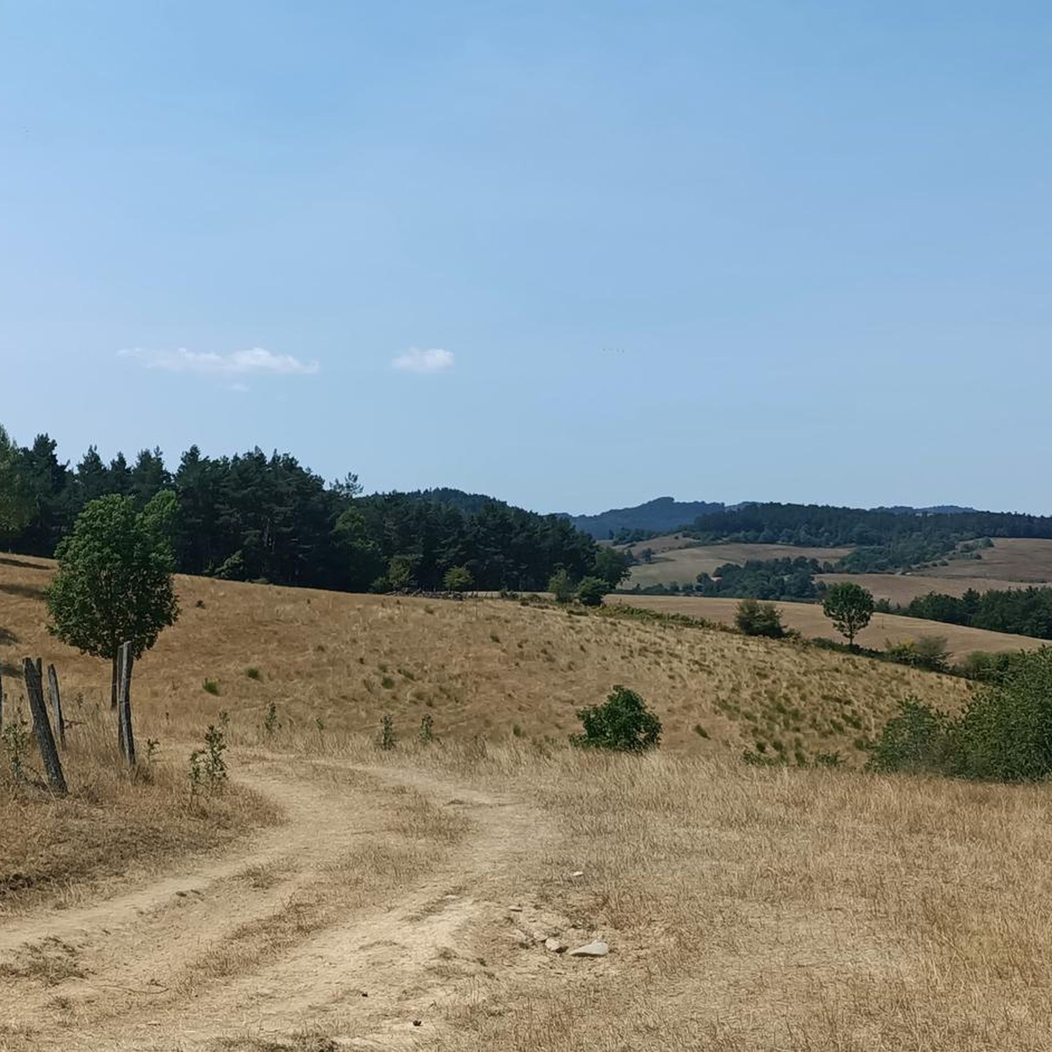
It is a beautiful port and highly recommended. Starting from the Orbaitzeta weapons factory (although from Aribe the road climbs slightly), it has 2 well-differentiated sections: the first 2 km are very simple, they run next to a mountain stream and through a beech forest... truly spectacular ; The second section consists of 3 km at 9 - 10%, leaving out of the beech forest, taking a perspective of the mountain and the beauty of the port and the mountains of this part of the Pyrenees. The road is in perfect condition, with some sections on concrete, although very comfortable to ride. Once you reach Alto de Azpegui, you descend slightly and reach the border point with France, the also known Col d'Orgambide.
0
0
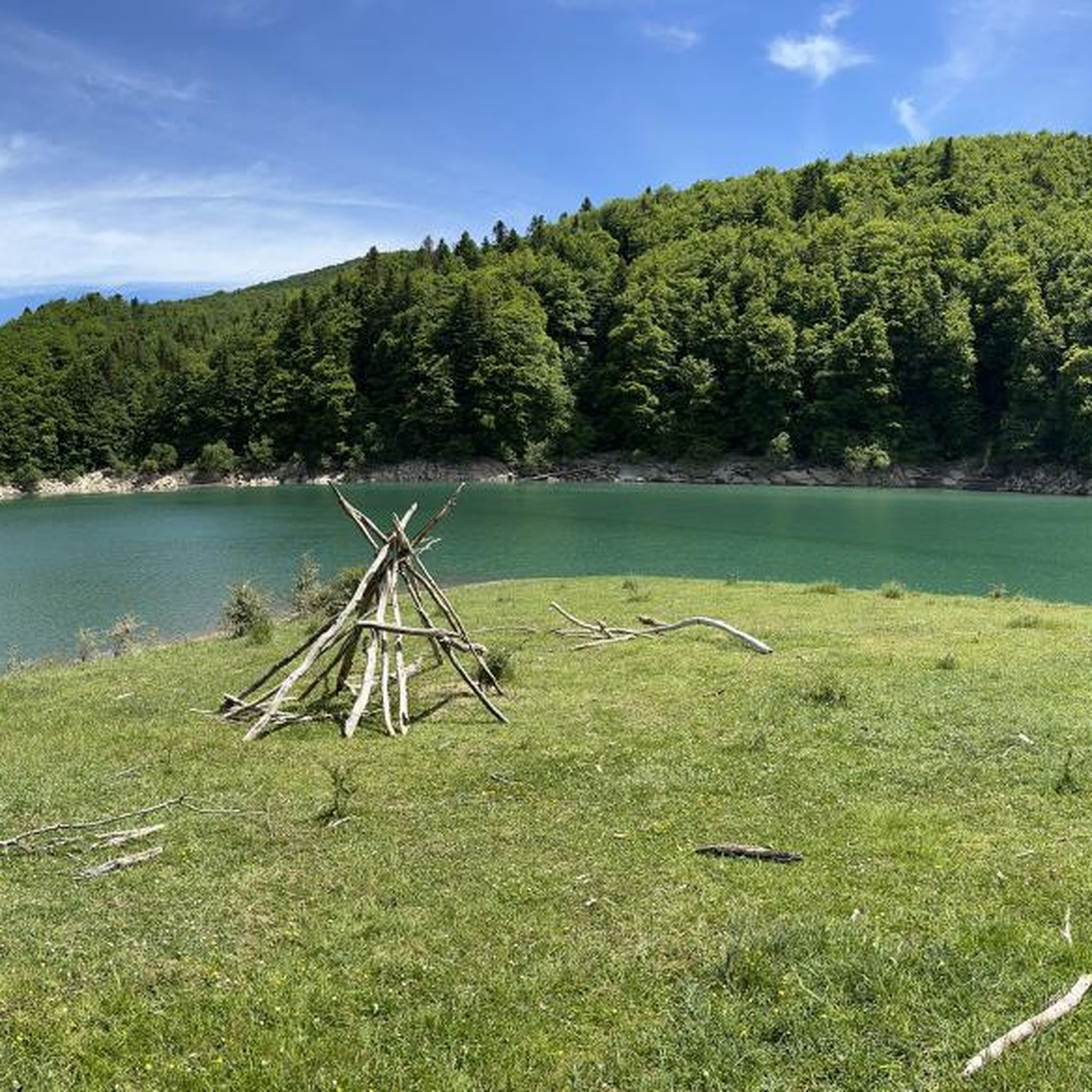
It is a pass with a distance of 10.3 km at a 3.3% average slope, therefore, a gentle pass where the hardest part is in the last km. The west slope is more constant than the east slope, although they are similar due to their winding road surrounded by trees and vegetation. The views from the town of Abaurregaina are very beautiful.
0
0

Before reaching Irati there is this hill with a magnificent viewpoint. If you're lucky you'll see the area's semi-wild horses up close. It is a port with a constant slope, it is long and it is beautiful
1
0

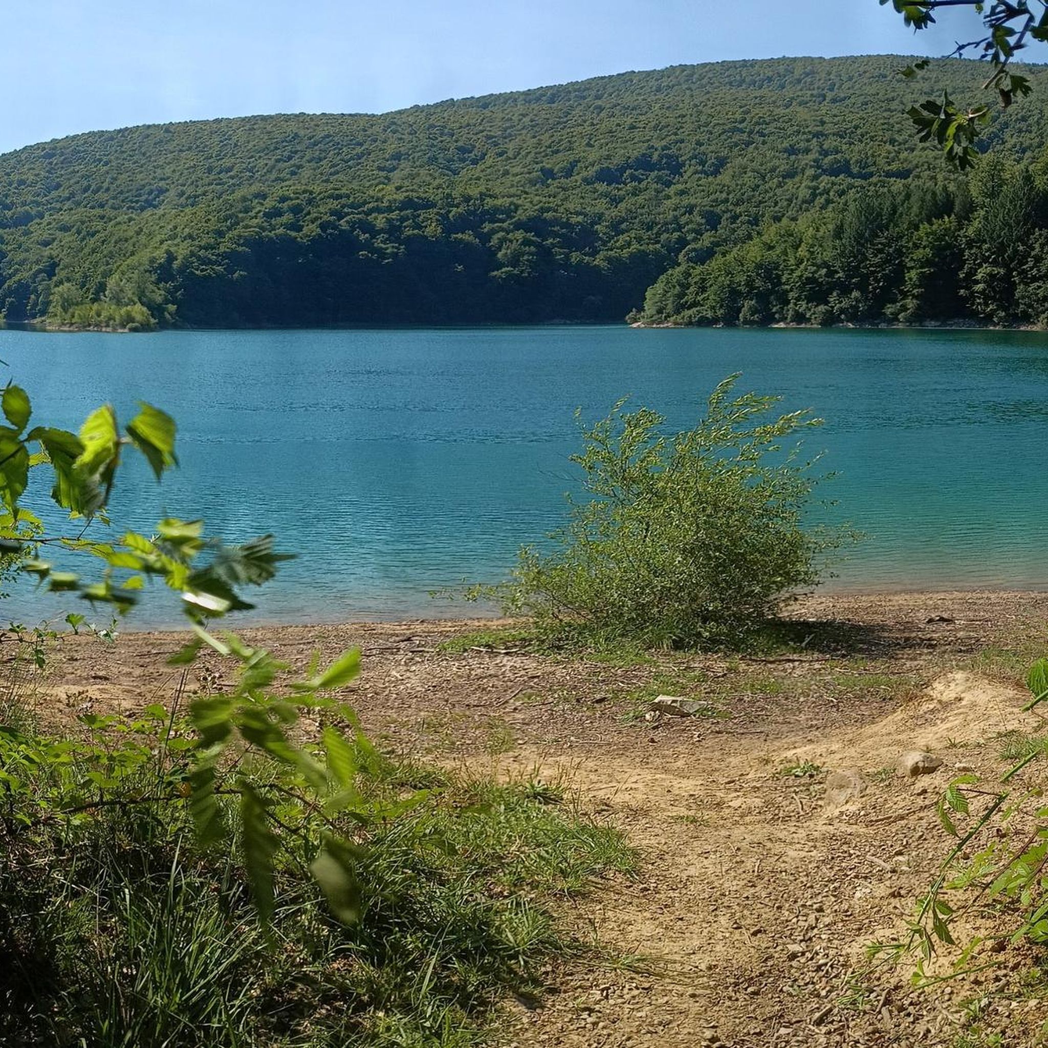
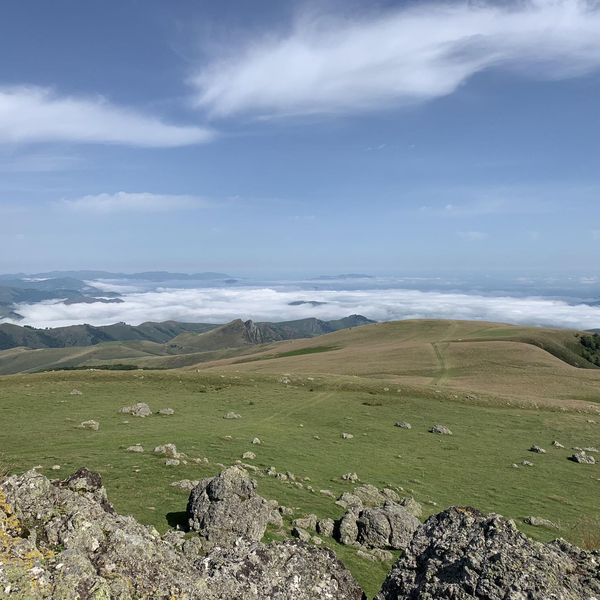
Considered one of the access gates to the Selva de Irati, this viewpoint at 1,355 meters above sea level is quite a challenge, but one that will be highly rewarded by being able to enjoy the wonderful panoramic views.
2
0
Considered one of the access gates to the Selva de Irati, this viewpoint is already a classic cyclist and the ascent to its 1355 meters above sea level is quite a challenge, but it will have a great reward to be able to enjoy the wonderful panoramic views.
2
0
자주 묻는 질문
자우리에타 근처의 가장 경치 좋은 산길은 어디인가요?
멋진 경치를 감상하려면 이라티 숲으로 가는 관문 역할을 하는 타플라 고개를 고려해 보세요. 또 다른 아름다운 선택지는 너도밤나무 숲과 피레네 산맥의 전망으로 유명하며 프랑스와의 국경으로 이어지는 알토 데 아스페귀입니다.
자우리에타 지역에 역사적으로 중요한 산길이 있나요?
네, 자우리에타 근처에 있는 푸에르토 데 이바녜타(롱세스바예스 고개)는 역사적으로 깊은 곳입니다. 이곳은 나바라의 산티아고 순례길 프랑스 길에서 가장 높은 지점이며, 778년 롱세스바예스 전투와 관련이 깊습니다. 정상에는 11세기 산 살바도르 데 이바녜타 은수처와 롤랑 기념비가 있습니다.
자우리에타 주변 산길을 방문하기 가장 좋은 시기는 언제인가요?
포르트 데 라라우와 같은 대부분의 고개가 일반적으로 개방되는 5월부터 11월까지가 방문하기 가장 좋은 시기입니다. 이 기간 동안에는 하이킹과 사이클링에 더 유리한 날씨를 경험할 수 있지만, 상황은 달라질 수 있습니다. 특히 높은 고개의 경우 여행 전에 항상 현지 상황을 확인하세요.
이 산길 근처에서 어떤 야외 활동을 할 수 있나요?
자우리에타 주변 지역은 다양한 야외 활동을 즐길 수 있는 훌륭한 기회를 제공합니다. 포르트 데 라라우 주변의 도전적인 로드 사이클링 오르막길을 포함한 수많은 사이클링 코스와 더 완만한 옵션들을 찾을 수 있습니다. 또한 많은 달리기 및 하이킹 트레일도 있습니다. 자세한 코스는 자우리에타 주변 달리기 트레일, 자우리에타 주변 로드 사이클링 코스, 그리고 자우리에타 사이클링 가이드를 살펴보세요.
자우리에타 근처에 숙련된 사이클리스트를 위한 도전적인 산길이 있나요?
물론입니다. 포르트 데 라라우는 9.2마일에 걸쳐 최대 12-14%의 가파른 경사를 특징으로 하는 도전적인 사이클링 오르막길로 유명합니다. 숙련된 사이클리스트들에게 인기가 많으며 투르 드 프랑스에도 소개된 바 있습니다. 이잘에서 시작하는 올로토키 고개 오르막길 또한 매우 어렵다고 묘사되며, 야생적이고 인적이 드문 오르막길을 제공합니다.
조용한 경험을 위해 덜 붐비는 산길이 있나요?
포르트 데 라라우는 도전적인 특성에도 불구하고, 다른 유명한 피레네 산맥의 고개에 비해 관광객이 적고 외딴 위치 덕분에 깊은 평온함을 선사합니다. 멋진 자연 속에서 고독을 추구한다면 훌륭한 선택이 될 것입니다.
Jaurrieta 주변 산길에서 어떤 자연 경관을 볼 수 있나요?
포르트 데 라라우(Port de Larrau)의 울창한 숲과 고산 초원에서부터 알토 데 아스페귀(Alto de Azpegui)의 너도밤나무 숲에 이르기까지 다양한 풍경을 만나볼 수 있습니다. 포르트 데 라라우와 같은 많은 산길의 상부 경사면은 수목 한계선 위로 솟아 있어 거칠고 인상적인 전망을 제공합니다. 올로토키 고개(Olotoki Pass)는 회양목, 소나무, 너도밤나무로 덮인 경사면이 특징입니다.
초보자나 덜 힘든 활동에 적합한 쉬운 또는 중간 난이도의 산길이 있나요?
네, 알토 데 아바우레가이나(서쪽) (Alto de Abaurregaina (West Side))는 10.3km에 걸쳐 평균 경사도 3.3%의 완만한 고개로, 덜 힘든 경험을 찾는 분들에게 적합합니다. 도로는 구불구불하며 나무로 둘러싸여 있어 아바우레가이나 마을에서 즐거운 전망을 감상할 수 있습니다.
이 산길들의 주차 및 접근성에 대해 알아야 할 사항은 무엇인가요?
각 산길의 구체적인 주차 정보는 항상 제공되지는 않지만, Jaurrieta는 주변 산길을 탐험하기 위한 훌륭한 거점 역할을 합니다. 많은 산길은 도로로 접근 가능하지만, 특히 비수기나 악천후 후에는 현지 도로 상황을 확인하는 것이 좋습니다. 타플라 고개(Tapla Pass)와 같은 일부 산길은 도보 투어의 인기 있는 출발점으로, 근처에 주차 시설이 있음을 시사합니다.
산길 근처에서 숙박 시설이나 편의 시설을 찾을 수 있나요?
Jaurrieta 자체는 살라자르 계곡(Salazar Valley)에서 가장 높은 지자체이며 산길 탐험을 위한 좋은 거점 역할을 하여 편의 시설을 제공합니다. 산길 바로 옆에 있는 카페나 펍은 드물지만, 이바네타 고개(Puerto de Ibañeta) 근처 론세스바예스(Roncesvalles)와 같이 피레네 산맥의 산길 주변 마을과 도시에서 옵션을 찾을 수 있습니다.
이랏이 숲(Irati Forest)의 전망을 제공하는 산길이 있나요?
네, 타플라 고개(Tapla Pass)는 셀바 데 이랏이(Selva de Irati)로 가는 관문 중 하나로 간주되며, 이 중요한 숲을 포함한 멋진 파노라마 전망을 제공합니다. 이바네타 고개(Puerto de Ibañeta) 또한 유럽에서 가장 큰 미개발 숲 중 하나인 이랏이 숲 근처에 있어 자연 애호가들에게 매력적입니다.
여름철 산길의 일반적인 날씨 조건은 어떤가요?
여름철에는 에로이자테 고개(Erroizate Pass)와 같은 곳은 그늘이 거의 없어 매우 더울 수 있습니다. 특히 장거리 하이킹이나 자전거 투어를 계획하고 있다면 물을 충분히 휴대하는 것이 중요합니다. 계곡과 높은 고도 사이의 다양한 기온 변화에 항상 대비해야 합니다.
자우리에타 주변에서 가장 인기 있는 명소


더 살펴보기
이 가이드를 통해 더 많은 장대한 산악 통과를 확인해보세요 자우리에타 주변:
