가랄다에서 가장 멋진 12개의 산길
가랄다에서 가장 멋진 산길을 아래에서 살펴보세요. 풍경을 감상하기에도 좋고, 오르막길/내리막길을 따라 걷기에도 좋은 곳이랍니다. 커뮤니티가 특별 도움을 통해 공유한 콘텐츠인 만큼 믿을 수 있는 정보이니 마음에 드는 산길이 있다면 바로 다음 모험 계획에 추가해서 바로 방문해보세요.
마지막 업데이트: 9월 2, 2026
이바녜타 고개와 롤랑 기념비
하이라이트 • 산악 고개
번역자 Google •
팁에 의해


이런 장소를 발견하려면 지금 가입하세요
최고의 싱글 트랙, 봉우리 및 다양한 흥미로운 야외 장소에 대한 추천을 받아보세요.
무료 회원 가입

카미노 프란세스의 첫 번째 오르막길
하이라이트 (구간) • 산악 고개
Descending quickly and pleasantly down from the Ibañeta Pass towards Auritz-Burguete on the N-135 (beware of possible traffic), you have the illusion that …
팁에 의해

무료로 가입하여 가랄다 주변의 더 많은 산악 고개를 발견하세요.
무료 회원 가입
이미 komoot 계정이 있나요?
오늘 무료 계정으로 시작하세요
다음 모험이 기다리고 있어요.
로그인 또는 가입하기

커뮤니티 팁

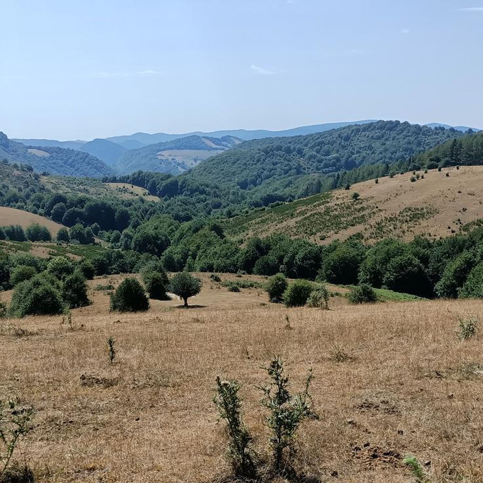
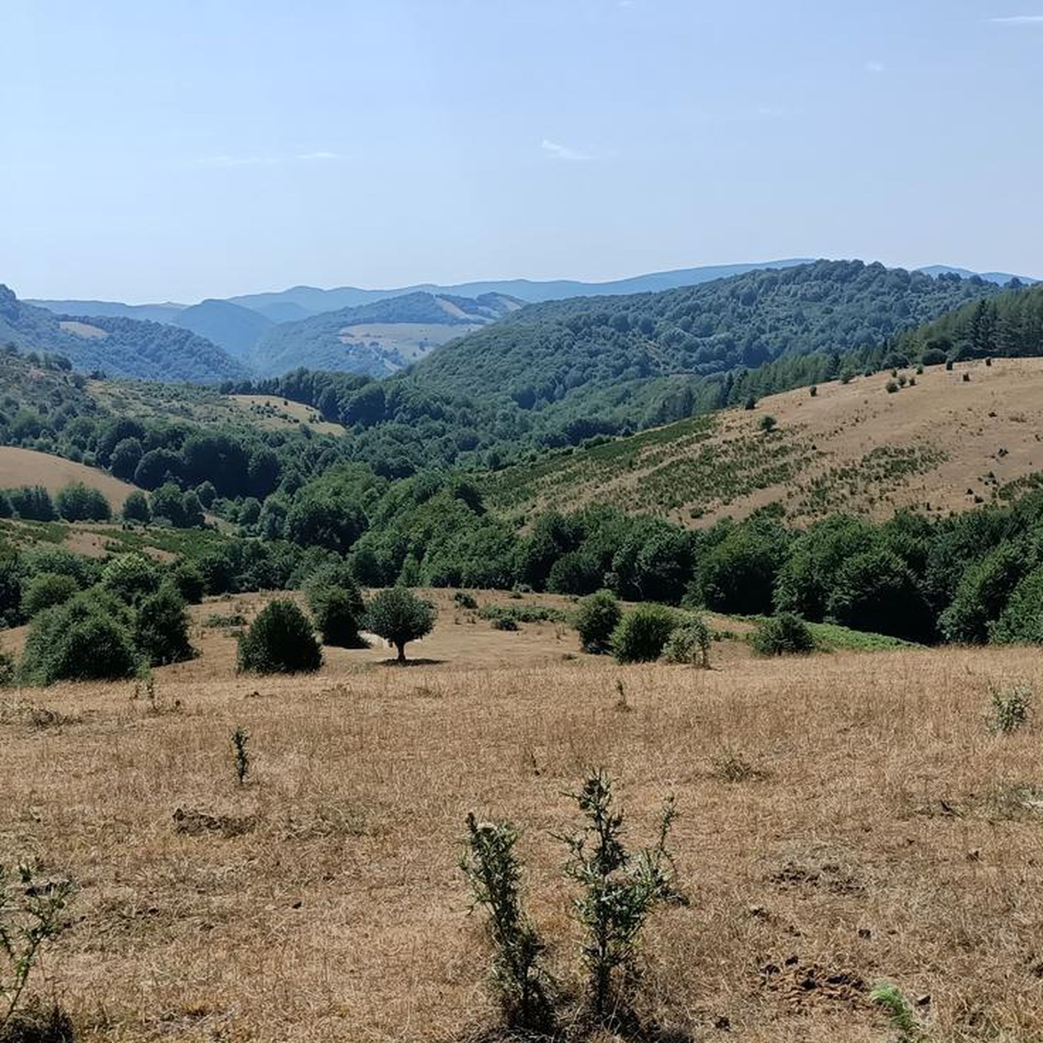
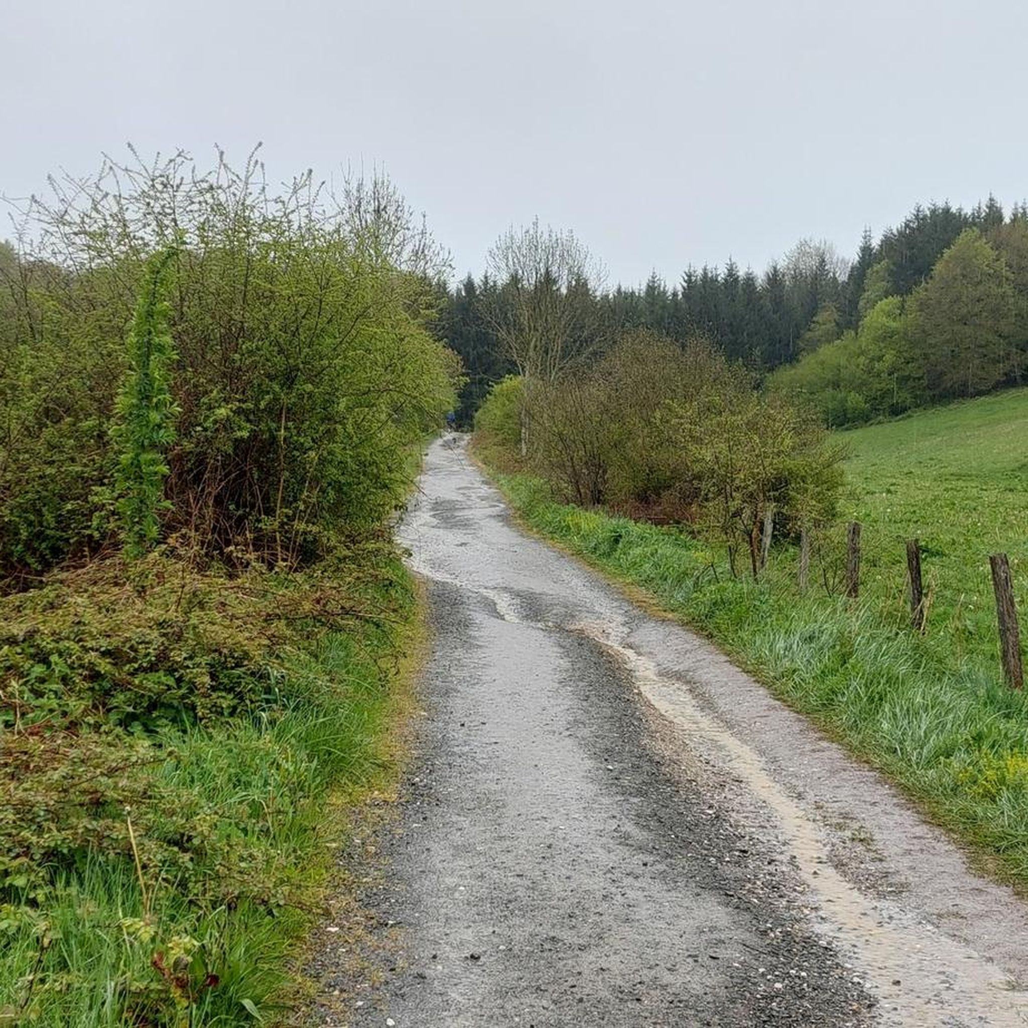
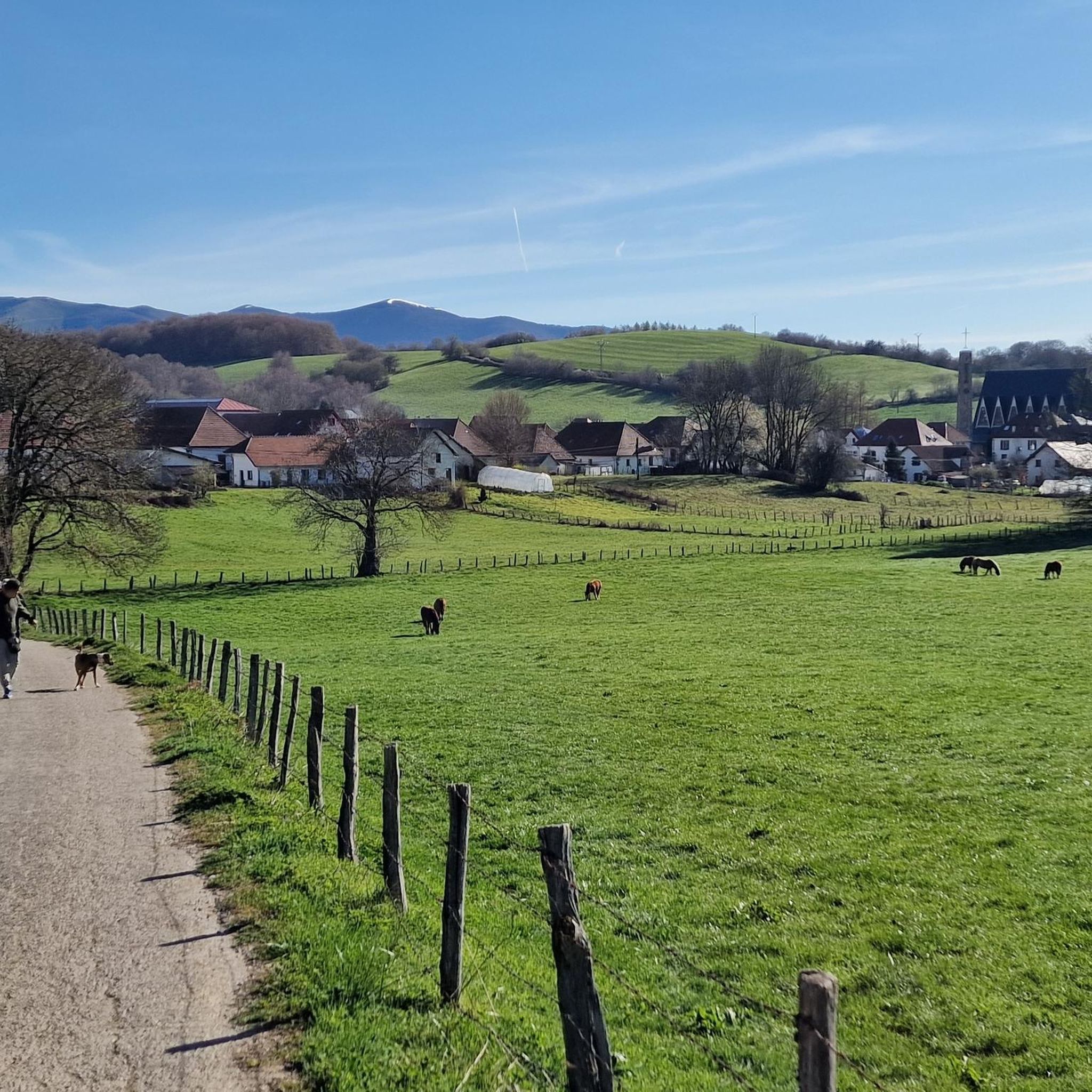
이바녜타 예배당은 산티아고 순례길을 걷는 모든 이들에게 감동적이고 고대하던 이정표입니다. 피레네 산맥의 프랑스 쪽에서 힘들고 가파른 오르막을 오른 후, 스페인 국경을 넘어 마침내 하산을 시작할 때, 이 작은 예배당과 그 옆의 큰 돌십자가는 장관입니다. 첫 번째 스페인 경유지: 산맥의 스페인 쪽에서 볼 수 있는 첫 번째 중간 목적지 역할을 하며, 힘든 오르막길의 가장 어려운 구간이 공식적으로 끝났음을 알립니다. 이 지점에 도달하면 거의 다 온 것입니다! 길을 따라 조금만 더 내려가면 오늘의 마지막 구간 목적지인 웅장하고 장엄한 론세스바예스 수도원 단지가 있습니다.
1
0

One of the most inhospitable and spectacular mountain passes in the eastern Pyrenees, with several slopes, all of them very difficult. The landscape is wild and wonderful. You can breathe absolute tranquility and you can dedicate yourself exclusively to enjoying the views, the horses, the sheep, the cows and the suffering on the bike. The summit is on the border with Spain, although there is no road that crosses the border, so the pass runs entirely in France. I have climbed it on 2 of its slopes. The first time I climbed it on the slope that crosses the Col d'Orgambide, on the D428 road, which starts from Estérençuby. The first 3 km are very easy, until you cross the detour to go up to Artaburu, where the road begins to have slopes of more than 10%. From there, to the summit, the climb is very hard, around 9%, on a very rough and bumpy road, with a lot of humidity and crossing a wonderful beech forest. Once you reach the top of the Col d'Orgambide, you turn right and continue climbing for another half kilometre with a gradient of 11%. There comes a small descent, to face the last 3 kms, the first 2 very hard with several 13% gradients. The last kilometre is very easy and has panoramic views that are simply wonderful. The second time I climbed it on the side that starts from Arneguy and Ondarolle. This side is harder than the previous one, with a central section that is hellish, being 6 kms at an average of 10%, and a very hard km at 12% and 18% gradients!!! The final part is more gentle. You cross the Croix de Thibault in the penultimate kilometre of the climb. The final kilometre is very gentle and with beautiful and exciting panoramic views.
1
0
It is a beautiful border pass between Spain and France, well known for being part of the most traditional route of the Camino de Santiago. Sportingly, the climb on both sides is easy, although on the French side it is much longer as it starts at a lower altitude. The Spanish side is just 6 km from Burguete, the last being the most difficult with an average gradient of 7%. On this side you pass the famous and well-known monastery of Roncesvalles. The French side is 18 km from Arnegui and an average gradient of 4%. The hardest part is 5 km from the summit, with one kilometre at 7%. The landscape on this side is of lush vegetation going up a very closed valley that hardly leaves room for views of the surrounding mountains. The road is very twisty. It is a port with very good asphalt and a lot of traffic in general... so, be careful!
1
0

After a long climb, you finally make it to the Ibeneta Pass and can enjoy the view as a reward. Up here, there is a small chapel and a memorial stone to the knight Roland, who is said to have fallen here.
2
0
A great climb up to the pass. Once you reach the top you get a great view. There is a small church at the top and also a monument. There has always been a hospital up here. However, only the foundations of it remain
3
0

Roland, who is commemorated here, died in 778 as part of the rear guard of Charlemagne's Frankish army. He himself was Margrave of Brittany and was the victim of a Basque revenge campaign against the Frankish conquerors who were retreating from a failed Saracen campaign. Those were complicated times, but things were not to become any less complicated in the Basque Country in the centuries that followed. An epic/song was later sung about Roland, which is part of world literature. The monument itself is simple and rough, exposed up here in the wind of the weather, and can therefore have an immediate effect, without pomp and splendor. Great! https://de.wikipedia.org/wiki/Schlacht_von_Roncesvalles
3
0


The pass is an important crossing of the Pyrenees, and a monastery with a hostel was set up in Roncesvalles for pilgrims on pilgrimage to St. James. The monks of the monastery also manned the chapel on the pass and rang the bells in the fog to show pilgrims the way.
5
0
가랄다 주변에서 가장 인기 있는 명소


더 살펴보기
이 가이드를 통해 더 많은 장대한 산악 통과를 확인해보세요 가랄다 주변:
