산트 안토니 데 빌라마요르에서 가장 멋진 20개의 천연기념물
천연기념물을 방문하여 산트 안토니 데 빌라마요르의 아름다운 풍경을 만나보세요. 산트 안토니 데 빌라마요르에 있는 20
개의 천연기념물과 상세 정보를 살펴본 후에 방문하고 싶은 천연기념물을 다음 모험 계획에 추가해보세요!
마지막 업데이트: 9월 7, 2026
발포르네르스 저수지
하이라이트 • 호수
번역자 Google •
팁에 의해

돌멘 데 페드라 헨틸
하이라이트 • 역사적 장소
번역자 Google •
팁에 의해

이런 장소를 발견하려면 지금 가입하세요
최고의 싱글 트랙, 봉우리 및 다양한 흥미로운 야외 장소에 대한 추천을 받아보세요.
Parc del Falgar i la Verneda의 호수
하이라이트 • 호수
번역자 Google •
팁에 의해
돌멘 데 카 라레네스
하이라이트 • 역사적 장소
번역자 Google •
팁에 의해

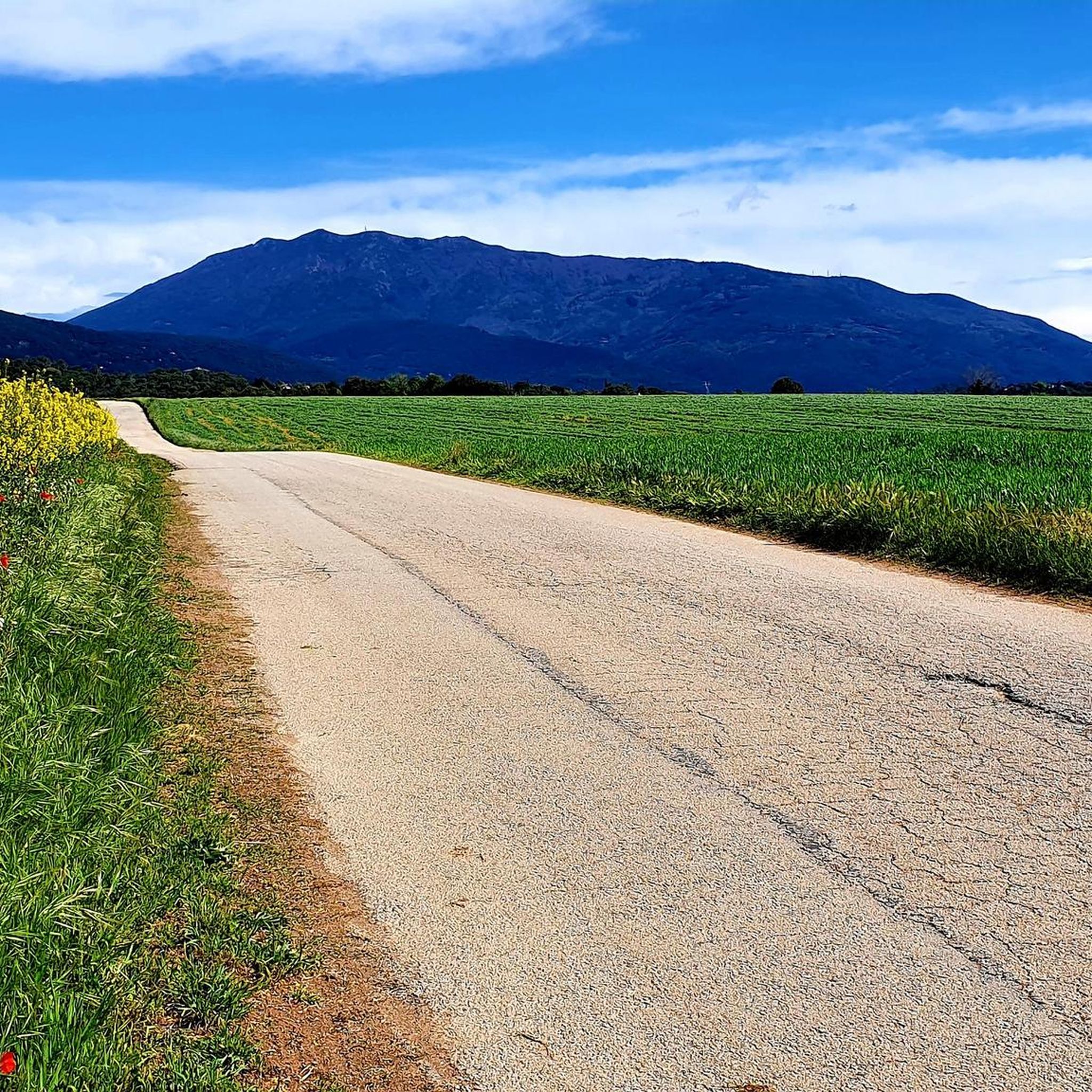
몬탈트
하이라이트 • 정상
Montalt is a mountain that belongs to the Catalan coastal range, within the Corredor mountain range and the …
번역자 Google •
팁에 의해

무료로 가입하여 산트 안토니 데 빌라마요르 주변의 더 많은 자연 기념물을 발견하세요.
이미 komoot 계정이 있나요?
오늘 무료 계정으로 시작하세요
다음 모험이 기다리고 있어요.

커뮤니티 팁

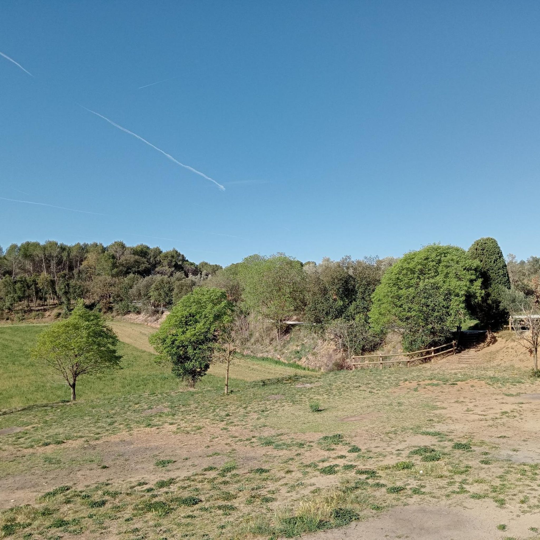
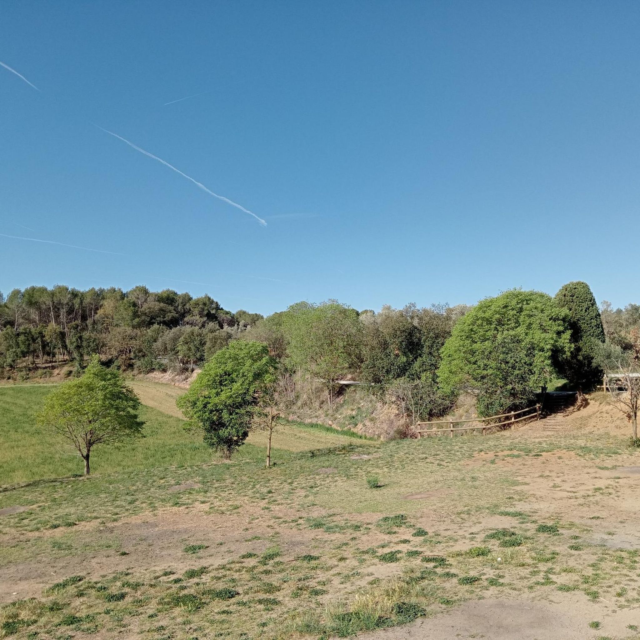
It's a megalithic tomb, approximately 5,000 years old, discovered in 1997 and restored in 2006-2007. Located in the heart of the Montnegre i el Corredor Natural Park, it's easy to miss, but it has a history: it belonged to a Neolithic community that used it as a collective grave. Interestingly, remains of the tumulus that covered it are still preserved, which is unusual, and its orientation seems related to astronomical events, like other dolmens in the area. It's an archaeological rarity in the middle of a prime cycling area, perfect for stopping and reflecting that humans once walked this path... but without helmets.
2
0

Good park, both in summer and winter
0
0

GOOD track, recommended for outdoor sports, and for all audiences 👍
0
0
They've now built a staircase to access the Dolmen... With this staircase, just a few meters long... It seems they'll save the site from erosion... Sometimes the conservation and environmental councils are pitiful... It seems the only ones degrading the paths... are hikers and bikers... When we're fed up with seeing how the water destroys the paths to the point where we can't pass... 🙃
0
0
Megalithic structure Rebuilt in 1855, Where the original structure was a 4000 year old DOLMEN, which served As a chamber tomb Simple...🧐
1
0

It belongs to the Montnegre Park and almost all the paths can be done either on foot or by bike (the dolmen path is quite broken "stones")
3
0

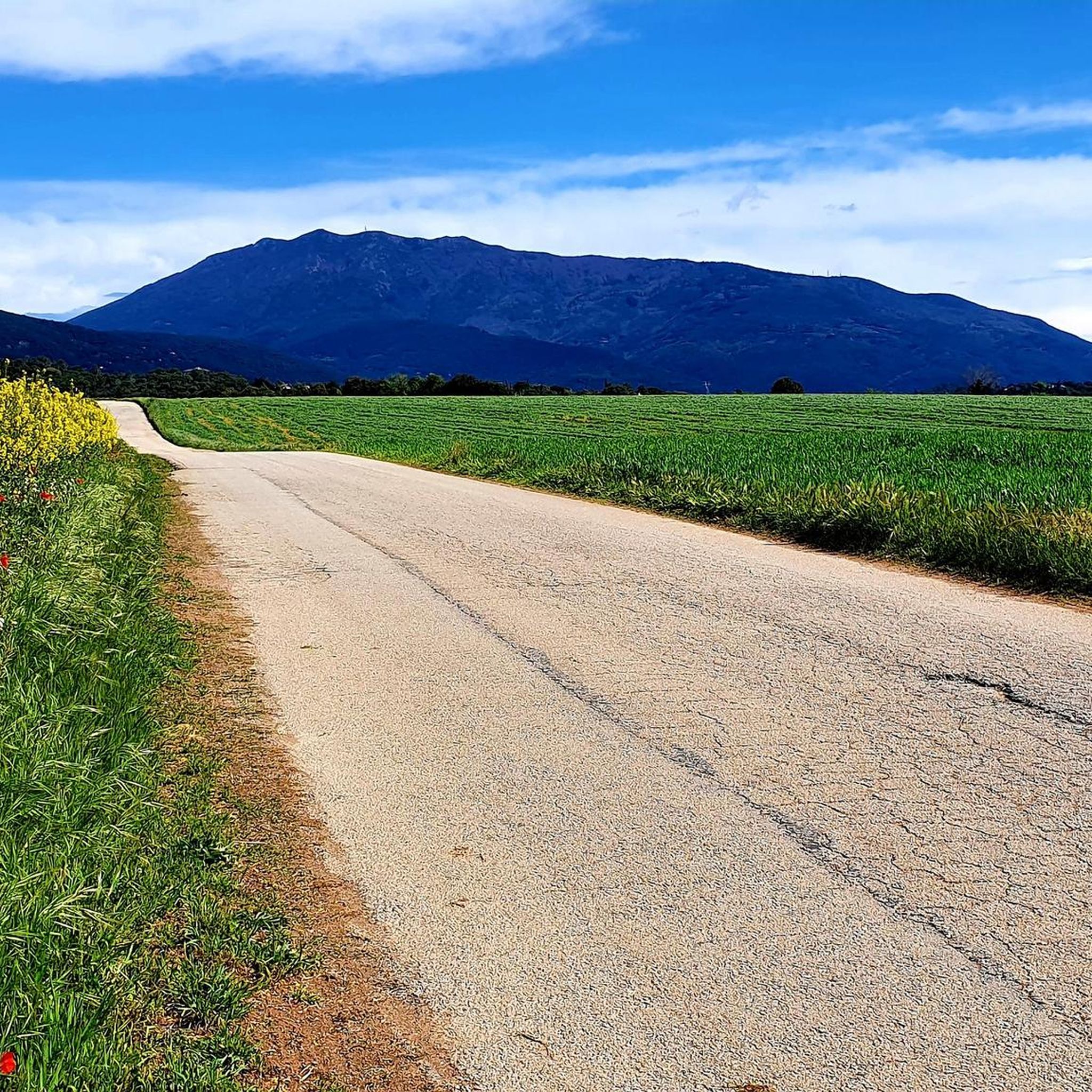
El Montalt is a mountain belonging to the Catalan coastal range, within the Sierra del Corredor and the protected natural area in which it is included. A few kilometers from the coast, the top is surrounded by forest. A common point to face the final meters of ascent is the Coll de la Ferradura, a pass located to the northeast. It is a crossroads of different paths and forest tracks and, from this point, the path to the summit is narrow and has a very steep slope. The northern slope enters completely into the natural park, with different plateaus, other peaks and the Creu de Rupit, an outstanding cross in the middle of the path. To the northeast is the Sanctuary of the Corridor, with a car park and a tourist service office. From this point, through forest tracks, To the south, we find two towns, Sant Andreu de Llavaneres and Sant Vicenç de Montalt, well connected by tracks and paths. In the same way possible starting points for the ascent, to the west is the municipality of Dosrius and its population center of Canyamars, while to the east is the town of Arenys de Munt. On the other hand, the first stage of the Camino del Norte, or GR 83 long-distance path, which begins in the town of Mataró, passes very close, along its northern slope. Its top houses a geodesic vertex and a mailbox, offering magnificent views of the entire Maresme coast.
1
0

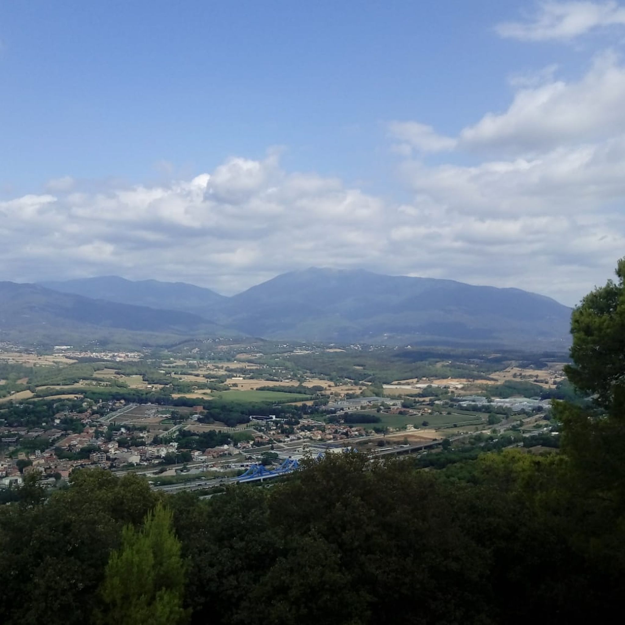
It is formed by a belt of mountains, hills and serrados from the so-called Pla de la Calma to Cuch, among which we can highlight Roca Centella, Mojó, Turó Monner, Puig del Sui (with 1322 m. altitude), Turó de Cuch (where the termini of Cánoves, Tagamanent, Montseny and San Pedro de Vilamajor face each other), and the Sierra de los Vallestrins, in the center of which stands the farmhouse of Vallforners, half fortress, half forest house, on the way of the Pla de la Calma, built by Señor de Tagamanent and restored by his son, Dalmau de Rocabertí, from the family of the counts of Peralada, in 1610.
21
0
산트 안토니 데 빌라마요르 주변에서 가장 인기 있는 명소


더 살펴보기
산트 안토니 데 빌라마요르 주변의 최고의 동굴을 찾기 위해 이 가이드를 확인해보세요:
