린드리지에서 가장 멋진 9개의 천연기념물
천연기념물을 방문하여 린드리지의 아름다운 풍경을 만나보세요. 린드리지에 있는 9
개의 천연기념물과 상세 정보를 살펴본 후에 방문하고 싶은 천연기념물을 다음 모험 계획에 추가해보세요!
마지막 업데이트: 10월 4, 2026
티터스톤 클리 힐 정상
하이라이트 • 자연 기념물
팁에 의해

우스터셔 자연 홍수 관리 프로젝트 – 와이어 숲의 누수 댐
하이라이트 • 자연 기념물
The aim of this project is to reduce flooding in
the Dowles Brook catchment, by implementing at large number of …
팁에 의해

이런 장소를 발견하려면 지금 가입하세요
최고의 싱글 트랙, 봉우리 및 다양한 흥미로운 야외 장소에 대한 추천을 받아보세요.
Ruskin Land
하이라이트 • 숲
팁에 의해
프라이어스 밀과 위어
하이라이트 • 자연 기념물
팁에 의해
Shavers End Quarry
하이라이트 • 전망대
팁에 의해
무료로 가입하여 린드리지 주변의 더 많은 자연 기념물을 발견하세요.
이미 komoot 계정이 있나요?
오늘 무료 계정으로 시작하세요
다음 모험이 기다리고 있어요.

커뮤니티 팁

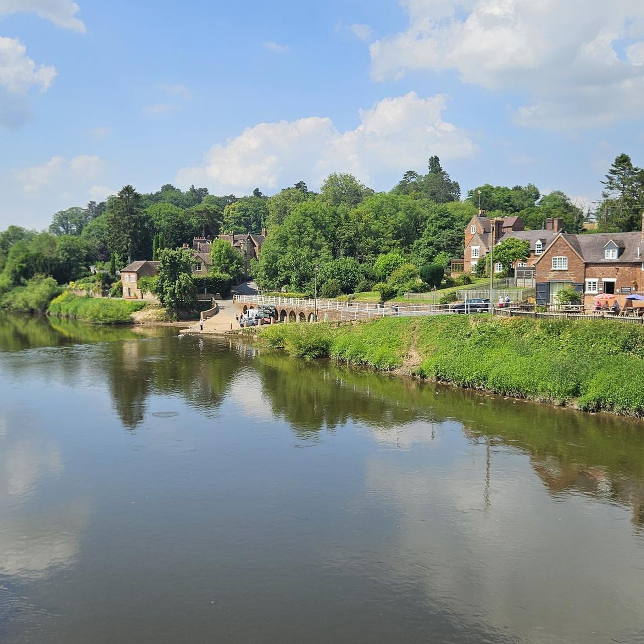
A real picturesque old mill, and the Geopark Way affords a really good view of the weir and house from a number of angles.
0
0


The Wyre Forest Beaver enclosure is worth stopping at. Can't guarantee to see any but you never know 😁
0
0

Prior's Mill is a former seventeenth century timber-framed water mill, with twentieth century alterations, and now used as a private residence. Next to it is a very high weir on the Dick Brook. There used to be several mills on this stream long ago.
0
0
Worcestershire Natural Flood Management (NFM) Project in the Wyre Forest. The aim of this project is to reduce flooding in the Dowles Brook catchment, by implementing at large number of small scale, natural interventions in upstream areas to help slow the flow of water and hold it back during times of high flows. These measures involve working on the tributaries of the Dowles Brook and could include things such as planting hedges, creating wetland areas. attenuation ponds, leaky dams, soll aeration and other land management techniques The intention is to slow the flood peak on the Dowdes so it does not coincide with the flood peak on the River Severn at Bewdley. Water moving at speed through the landscape is incredibly destructive and leads to erosion, soil loss and widespread damage, therefore slowing down the water has a wealth of positive impacts. It is the intention that many more features will be installed over the riext few years with the aim of slowing the flow throughout the catchment. If you would like more information, or are a landowner who is keen to get involved. please contact the NFM Project Officer al Worcestershire County Council. www.worcestershire.gov.uk/NFM Natural Flood Management - Leaky Dams Trees are sourced from the immediate stream side and used to build a lattice. Over time, especially in high flow, smaller woody debris accumulates naturally, and this increases the effectiveness of the leaky dam. The dars are wedged behind living tree stumps to prevent them moving or floating away, over time they bed in and naturalise as part of the landscape. Leaky dams work with nature, providing a food source and habitat for wildlife. This timber lattice allows wildlife, such as fish, to move freely upstream and downstream. Leaky dams are constructed to allow free passage of water in normal flows, and only hold water back when required during high rainfall. The backed up water is pushed out of the channel into appropriate sites upstream where silts are deposited. A single structure has little impact, but a series of leaky dams at various locations can help reduce the risk of flooding downstream. Felling by the river bank allows more sunlight to reach the watercourse and its banks. This leads to the growth of marginal vegetation, creating further food sources and habitats for wildlife.
0
0
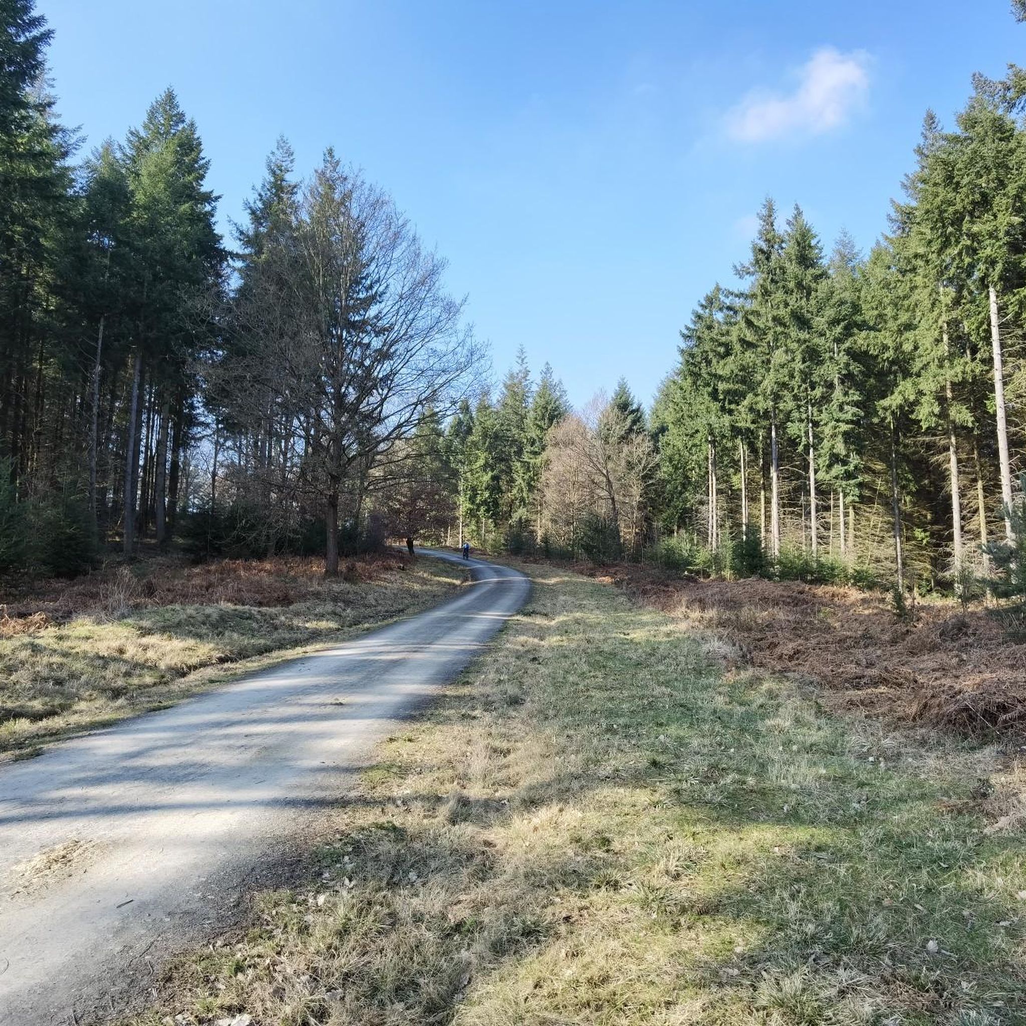
This area of the Wyre Forest Site of Special Scientific Interest belongs to John Ruskin's charity, the Guild of St George and is managed by the Wyre Community Land Trust. We are managing this area to support a mixture of high forest and heathland, which are valuable habitats for bats, birds and other species. In large areas of the woodland, the trees. are relatively young, and mainly comprise oak with bracken and bramble. This lack of diversity is a result of changes in woodland management following World War 1. when much of the woodland was no longer coppiced because of a collapse in the charcoal industry. In order to improve the habitat diversity, some trees have been removed to give those remaining more space to grow into large mature trees. The trees that are felled are extracted and processed at the Wyre Community land Trust's woodyard and sawmill at St George's Farm and used to make a variety of timber products and firewood. Volunteers have helped plant trees to ensure the forest has a diverse mixture of tree species that is more resilient to pests, disease and the effects of climate change.
0
0
Shavers End Quarry is one of many quarries in the area located on the Abberley Hills, where the limestone is a sought after material for lime kilns, construction and the aggregates industry. Quarrying activity at Shavers End Quarry has sliced through the North West corner of Abberley Hill, providing a geological cross section for people to study the structure of the area in detail. The scale of the site, partnered with the bare rock faces allows visitors to fully appreciate the complex tectonic history of the area. Within the quarry there are two distinct rock formations exposed; the Lower Ludlow Shales Group and the Aymestry Limestone Formation. The Lower Ludlow Shales Group is the lower of the two units and consists of a series of siltstones and bluish grey mudstones. These rocks can be best seen at the southern end of the quarry, as well as on the eastern banks of the quarry lakes. The Aymestry Limestone is a blue-grey, nodular argillaceous limestone and forms the main rock face that extends along the western side of the quarry. The limestone is shaly and impure and notably contains a thick band of bentonite. Shavers End Quarry sits variably in the hinge zone and on the overturned limb of a large fold. The Lower Ludlow Shales and Aymestry Limestone at this locality are upside-down, suggested by the wrong-way-up orientation of fossils and other sedimentary structures. The age of folding has been the subject of much debate, with many different interpretations; it may have formed during the Variscan Orogeny (~300 million years ago); others suggested that folding occurred during the earlier Caledonian Orogeny (390 million years ago). However it is generally agreed that folding was instigated by thrust faulting on the East Malvern Fault system. This site is part of the Community Earth Heritage Champions Project.
0
0

린드리지 주변에서 가장 인기 있는 명소


더 살펴보기
린드리지 주변의 최고의 동굴을 찾기 위해 이 가이드를 확인해보세요:
