켄스윅에서 가장 멋진 8개의 천연기념물
천연기념물을 방문하여 켄스윅의 아름다운 풍경을 만나보세요. 켄스윅에 있는 8
개의 천연기념물과 상세 정보를 살펴본 후에 방문하고 싶은 천연기념물을 다음 모험 계획에 추가해보세요!
마지막 업데이트: 10월 15, 2026
Ankerdine Hill
하이라이트 • 전망대
팁에 의해


이런 장소를 발견하려면 지금 가입하세요
최고의 싱글 트랙, 봉우리 및 다양한 흥미로운 야외 장소에 대한 추천을 받아보세요.
프라이어스 밀과 위어
하이라이트 • 자연 기념물
팁에 의해
설강화가 있는 폭포
하이라이트 • 자연 기념물
팁에 의해

Shavers End Quarry
하이라이트 • 전망대
팁에 의해
무료로 가입하여 켄스윅 주변의 더 많은 자연 기념물을 발견하세요.
이미 komoot 계정이 있나요?
오늘 무료 계정으로 시작하세요
다음 모험이 기다리고 있어요.
커뮤니티 팁

This little man-made waterfall is the overflow from the big lake but is still quite realistic. Best visited in the winter for flow and less foliage to get in the way of the camera shot!|
0
0
A real picturesque old mill, and the Geopark Way affords a really good view of the weir and house from a number of angles.
0
0

This spout, formerly known as the Cowleigh Spout, is on the left as you leave Malvern on the Cowleigh Road, almost opposite the Worcestershire Way car park. The springs are in an adjacent field and their daily output is 10,000 gallons, with much running to waste. Unlike many of the other natural water sources of the Malverns, Cowleigh Spout maintained a healthy flow even during times of severe drought, such as that in 1921, and on many occasions was the sole supply over an extensive area. During the construction of the North Malvern Tank in the 1870s, when the supply from the Morris tank was cut off, the inhabitants walked the half mile from North Malvern to this spout for their household's water. This rural idyll was witness to the 'dirty' hordes of Birmingham hop-pickers who flocked to the countryside for their annual working holiday. "Cowleigh Spring was the resort of many hoppers on Sunday, the "crystal streams" being freely used for their ablutions. They borrowed a piece of soap and had a "wash and brush up, the pocket handkerchief doing service as a towel". The Madresfield Connection The original spout was replaced with this one by the 7th Earl Beauchamp. He was later immortalised as Lord Marchmain in Evelyn Waugh's Brideshead Revisited. The wording on the tiled surround reads: "This fountain was presented to the people of Cowleigh by William Earl Beauchamp 1905." The Earls Beauchamp lived at Madresfield Court, three miles away on the opposite side of the hills, and the cisterns behind the fountain originally supplied the Court, four farms and a dozen houses on the Madresfield estate. The spout fed a tank on Cowleigh Park Farm. In the 1870s, a three-inch iron main was laid to Madresfield via Dyson Perrins School, Tanhouse Lane and Newland and a 30,000-gallon reservoir/header tank at Lower Woodsfield Farm enabled the supply thereafter to be gravity fed. The laying of the supply is recorded in the local paper of 7 Dec.1872, titled `New water supply to Madresfield Court': "For some time past, the route between Madresfield Court...and the famous flow of water at the entrance to `Cowleigh Park', known as `Cowleigh Spout' has exhibited a line of excavation, in which mains have been deposited for the conveyance of the overflow of water at the spout for use at Madresfield Court. The work is now all but completed." The village was put on to the main public supply shortly after 1955 following concern about possible contamination. A sample analysed during the 1980s suggested a similar composition to the Schweppes Pewtriss Well. The tanks behind still overflow copiously and are maintained because they supply several local households with water. In 1995 water was reinstated at the public spout as a result of the efforts of local enthusiasts. Since then the area around the spout has been the subject of various initiatives to make the area more user friendly in recent years. There are now steps from the car park at the rear, which once housed the bottling works tank. Also the area in front of the spout has been restored and drainage improved. The Madresfield Estates Trust still owns about 50 acres of land behind the spout together with the nearby Cowleigh Wood, but at some time in the past the ownership of the spout changed. In 2007 the Area of Outstanding Natural Beauty managers when implementing the Heritage Lottery Fund enhancements unsuccessfully tried to trace the owners of this fountain. What they did discover was that the properties across the road from the fountain had a right to the water and in the case of The Byre it was a gift in perpetuity from the Beauchamp estate for bravery in the Great War. Source: malvernwaters.com
0
0
Prior's Mill is a former seventeenth century timber-framed water mill, with twentieth century alterations, and now used as a private residence. Next to it is a very high weir on the Dick Brook. There used to be several mills on this stream long ago.
0
0
Shavers End Quarry is one of many quarries in the area located on the Abberley Hills, where the limestone is a sought after material for lime kilns, construction and the aggregates industry. Quarrying activity at Shavers End Quarry has sliced through the North West corner of Abberley Hill, providing a geological cross section for people to study the structure of the area in detail. The scale of the site, partnered with the bare rock faces allows visitors to fully appreciate the complex tectonic history of the area. Within the quarry there are two distinct rock formations exposed; the Lower Ludlow Shales Group and the Aymestry Limestone Formation. The Lower Ludlow Shales Group is the lower of the two units and consists of a series of siltstones and bluish grey mudstones. These rocks can be best seen at the southern end of the quarry, as well as on the eastern banks of the quarry lakes. The Aymestry Limestone is a blue-grey, nodular argillaceous limestone and forms the main rock face that extends along the western side of the quarry. The limestone is shaly and impure and notably contains a thick band of bentonite. Shavers End Quarry sits variably in the hinge zone and on the overturned limb of a large fold. The Lower Ludlow Shales and Aymestry Limestone at this locality are upside-down, suggested by the wrong-way-up orientation of fossils and other sedimentary structures. The age of folding has been the subject of much debate, with many different interpretations; it may have formed during the Variscan Orogeny (~300 million years ago); others suggested that folding occurred during the earlier Caledonian Orogeny (390 million years ago). However it is generally agreed that folding was instigated by thrust faulting on the East Malvern Fault system. This site is part of the Community Earth Heritage Champions Project.
0
0

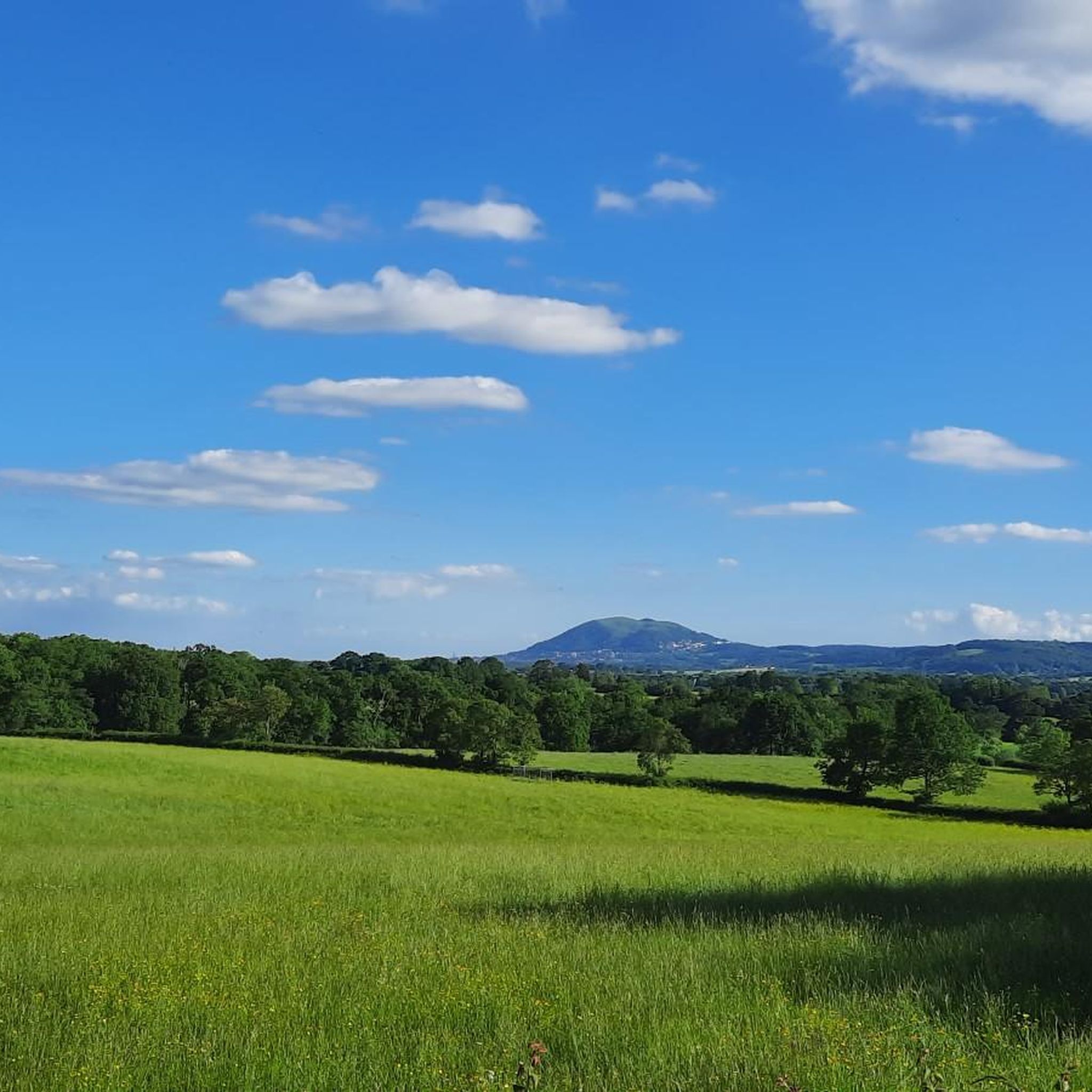
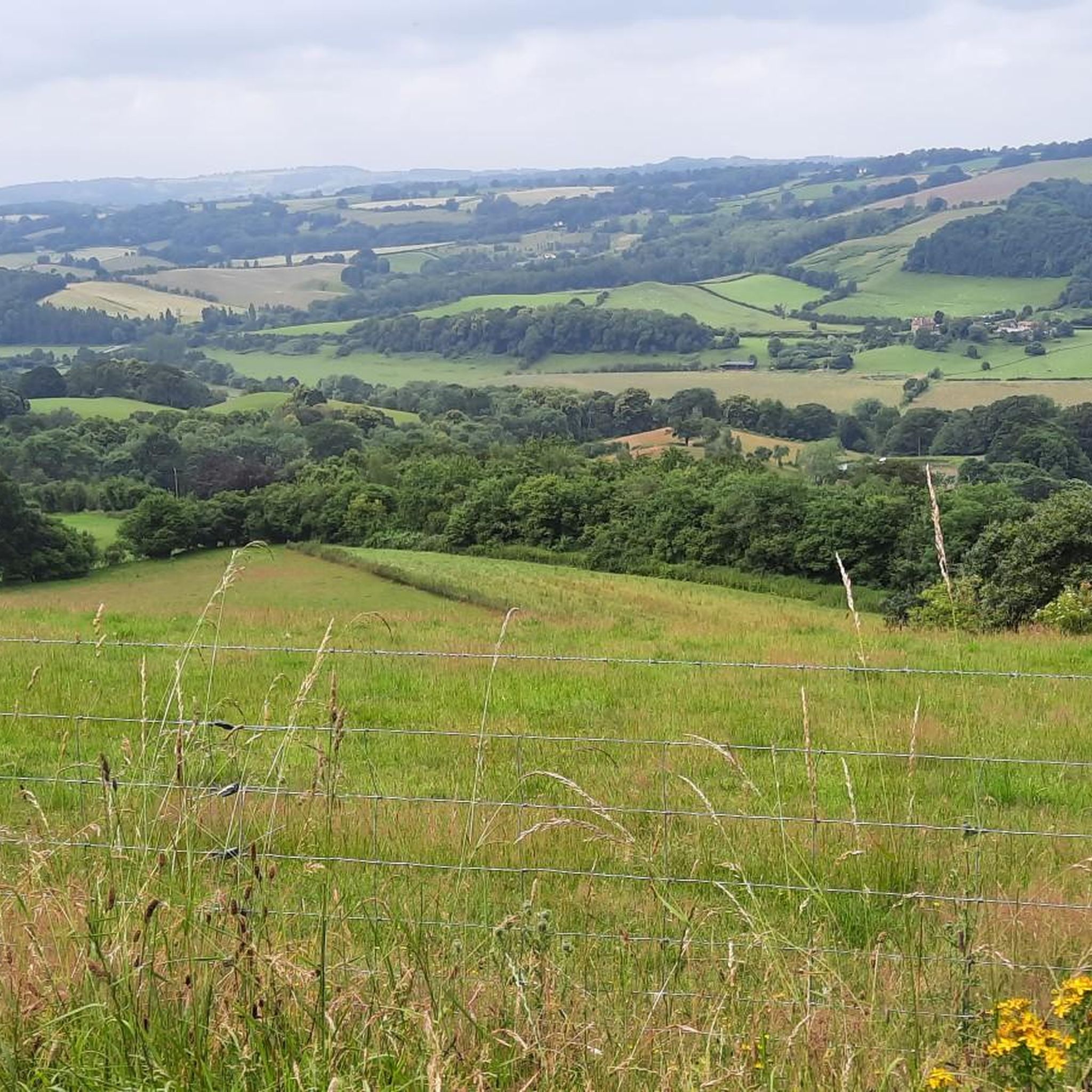
Ankerdine Hill, at 489 feet (149 m), is part of the Abberley Hills ridge in the Abberley and Malvern Hills Geopark. The ridge was formed during the Silurian period and is of considerable geological significance. The River Teme loops around the hill, surrounding it on its western, southern and eastern side, giving it superb views of the Teme Valley. It is most commonly ascended from the village of Knightwick, where the award-winning Talbot pub is a good post-hike option.
0
0
켄스윅 주변에서 가장 인기 있는 경로
켄스윅 주변에서 가장 인기 있는 명소


더 살펴보기
켄스윅 주변의 최고의 동굴을 찾기 위해 이 가이드를 확인해보세요:
